Plainfield is a census-designated place (CDP) and the namesake village in the town of Plainfield, Sullivan County, New Hampshire, United States. The population of the CDP was 178 at the 2020 census, out of 2,459 in the entire town.
| Name: | Plainfield CDP |
|---|---|
| LSAD Code: | 57 |
| LSAD Description: | CDP (suffix) |
| State: | New Hampshire |
| County: | Sullivan County |
| Elevation: | 528 ft (161 m) |
| Total Area: | 0.58 sq mi (1.50 km²) |
| Land Area: | 0.58 sq mi (1.50 km²) |
| Water Area: | 0.00 sq mi (0.00 km²) |
| Total Population: | 178 |
| Population Density: | 307.96/sq mi (118.95/km²) |
| ZIP code: | 03781 |
| Area code: | 603 |
| FIPS code: | 3362260 |
| GNISfeature ID: | 2629737 |
Online Interactive Map
Click on ![]() to view map in "full screen" mode.
to view map in "full screen" mode.
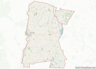
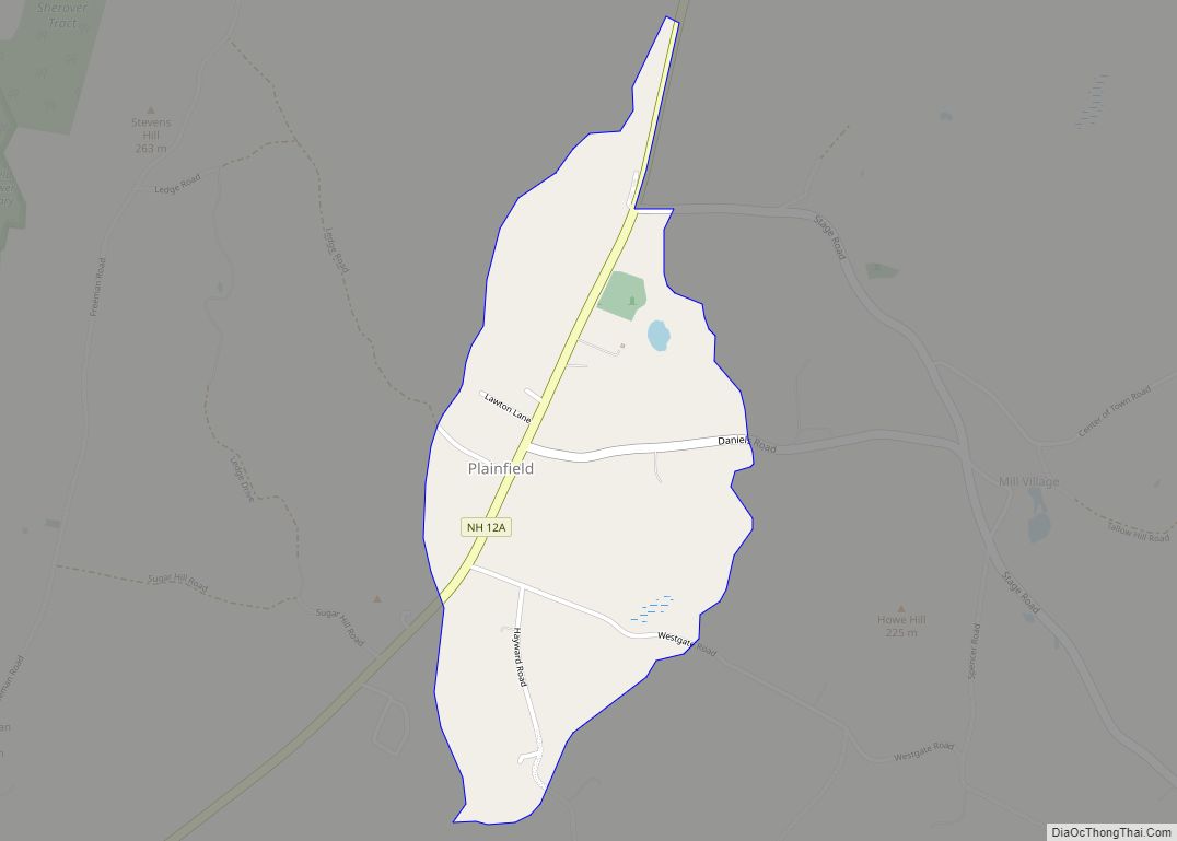
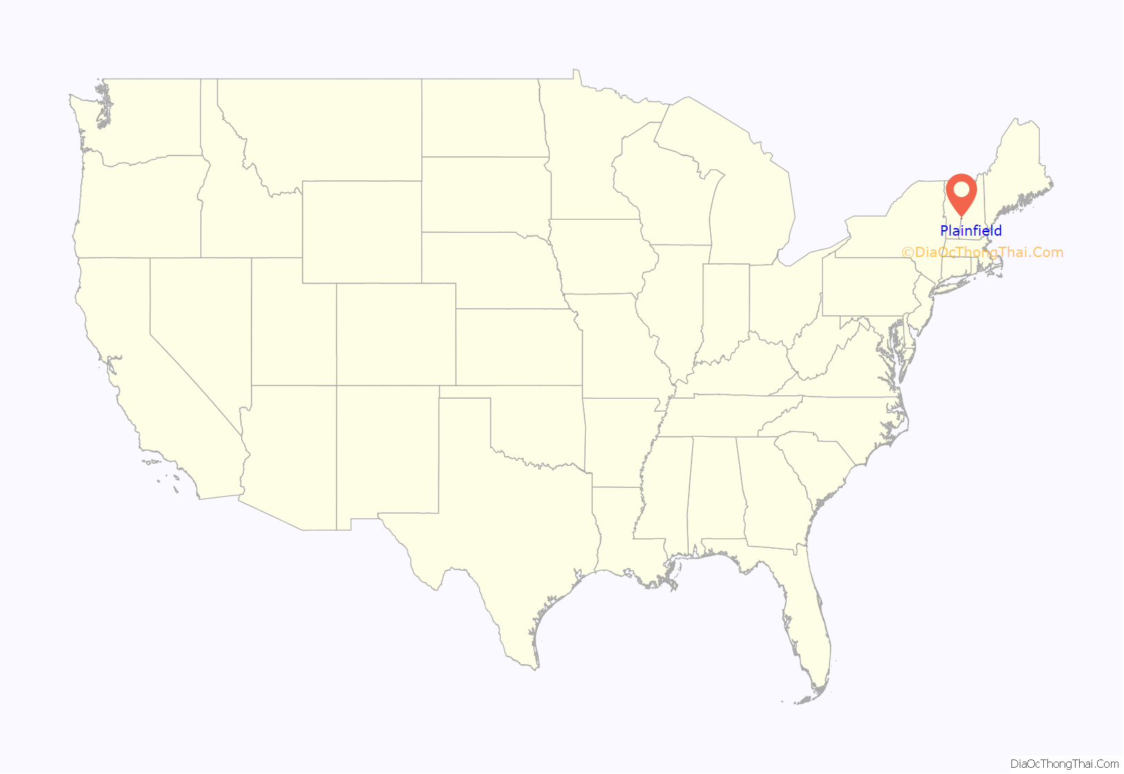
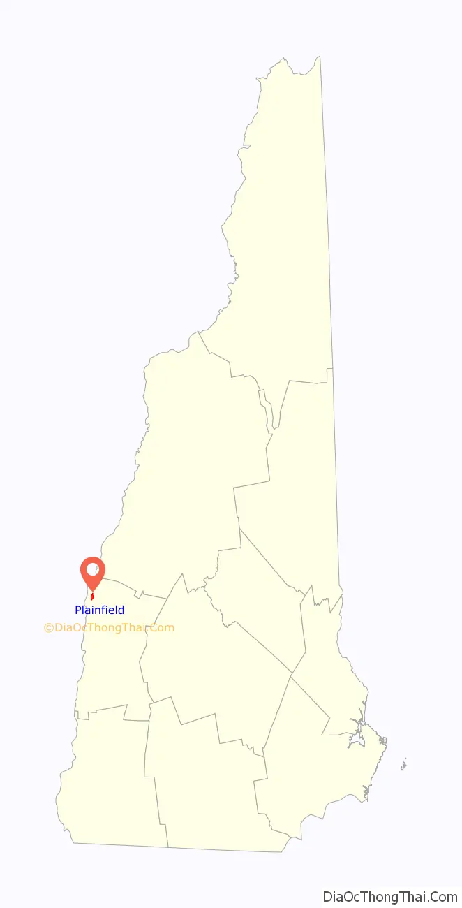
Plainfield location map. Where is Plainfield CDP?
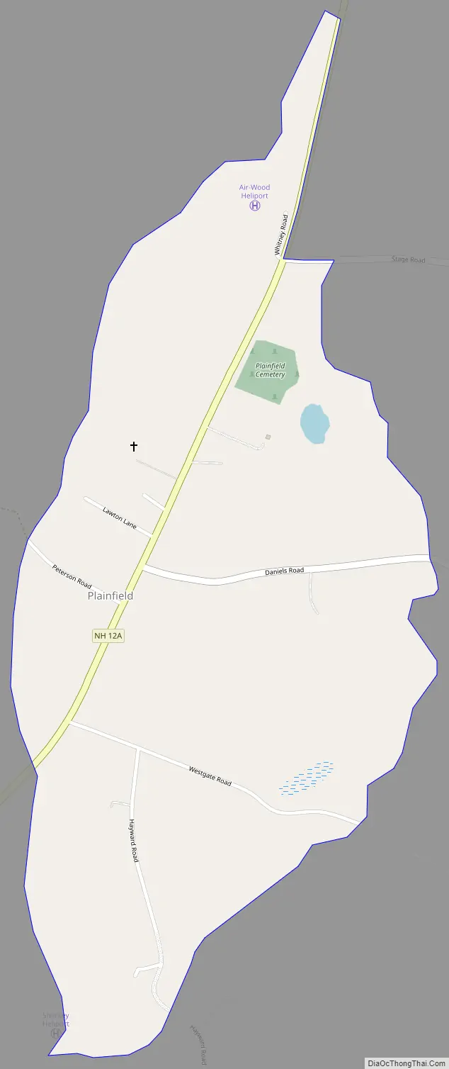
Plainfield Road Map
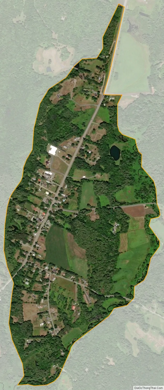
Plainfield city Satellite Map
Geography
The CDP is in the western part of the town of Plainfield, along New Hampshire Route 12A, which leads north 7 miles (11 km) to Interstate 89 in West Lebanon and south 5 miles (8 km) to the Cornish–Windsor Covered Bridge over the Connecticut River. The Plainfield CDP is bordered to the west by Clay Brook and to the east by Blow-me-down Brook, a southwest-flowing tributary of the Connecticut. The southern end of the CDP is at the confluence of the two brooks, and the northern end is at Stage Road and NH 12A.
According to the U.S. Census Bureau, the CDP has a total area of 0.58 square miles (1.5 km), all of it recorded as land.
See also
Map of New Hampshire State and its subdivision: Map of other states:- Alabama
- Alaska
- Arizona
- Arkansas
- California
- Colorado
- Connecticut
- Delaware
- District of Columbia
- Florida
- Georgia
- Hawaii
- Idaho
- Illinois
- Indiana
- Iowa
- Kansas
- Kentucky
- Louisiana
- Maine
- Maryland
- Massachusetts
- Michigan
- Minnesota
- Mississippi
- Missouri
- Montana
- Nebraska
- Nevada
- New Hampshire
- New Jersey
- New Mexico
- New York
- North Carolina
- North Dakota
- Ohio
- Oklahoma
- Oregon
- Pennsylvania
- Rhode Island
- South Carolina
- South Dakota
- Tennessee
- Texas
- Utah
- Vermont
- Virginia
- Washington
- West Virginia
- Wisconsin
- Wyoming