Seabrook Beach is a census-designated place in the town of Seabrook and partially in the town of Hampton in Rockingham County, New Hampshire, United States. It had a population of 1,078 at the 2020 census.
| Name: | Seabrook Beach CDP |
|---|---|
| LSAD Code: | 57 |
| LSAD Description: | CDP (suffix) |
| State: | New Hampshire |
| County: | Rockingham County |
| Elevation: | 10 ft (3 m) |
| Total Area: | 1.47 sq mi (3.80 km²) |
| Land Area: | 1.05 sq mi (2.71 km²) |
| Water Area: | 0.42 sq mi (1.09 km²) |
| Total Population: | 1,078 |
| Population Density: | 1,029.61/sq mi (397.60/km²) |
| Area code: | 603 |
| FIPS code: | 3368340 |
| GNISfeature ID: | 0869829 |
Online Interactive Map
Click on ![]() to view map in "full screen" mode.
to view map in "full screen" mode.
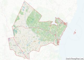
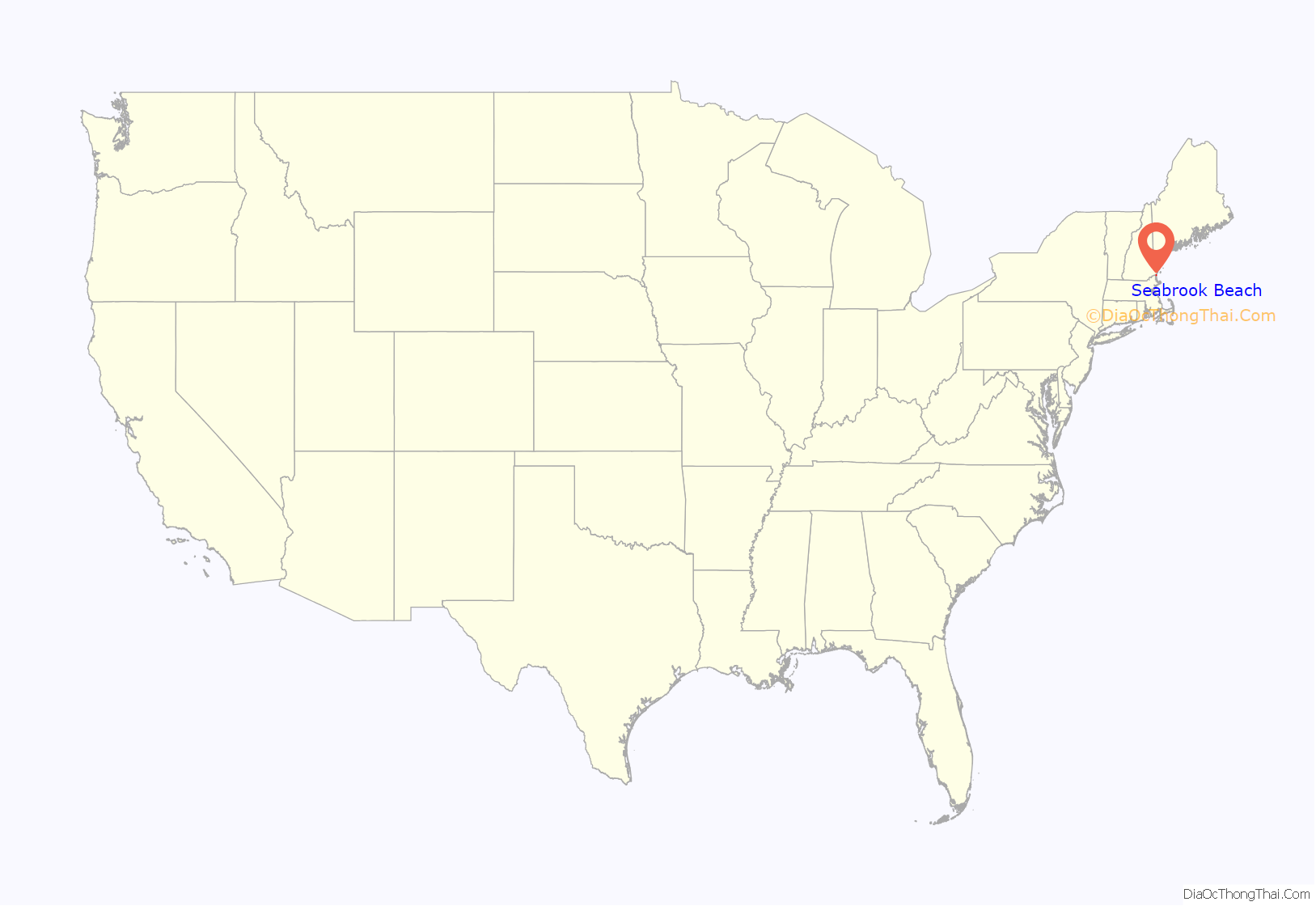
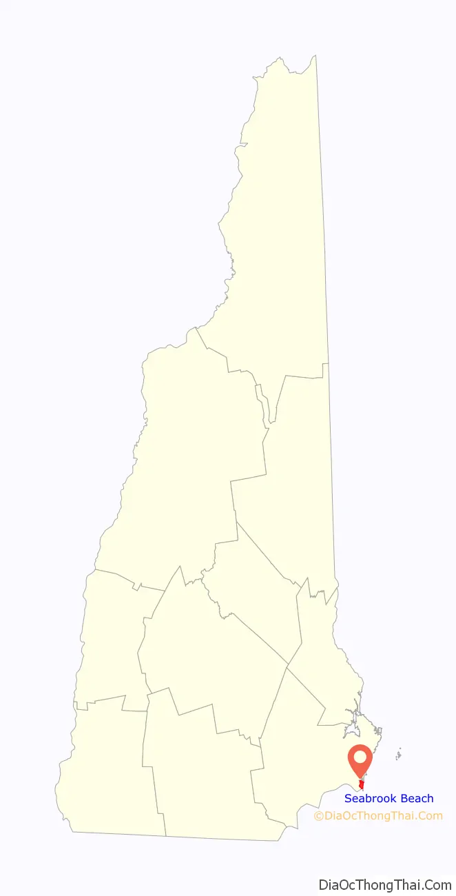
Seabrook Beach location map. Where is Seabrook Beach CDP?
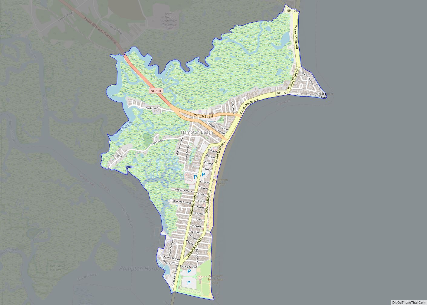
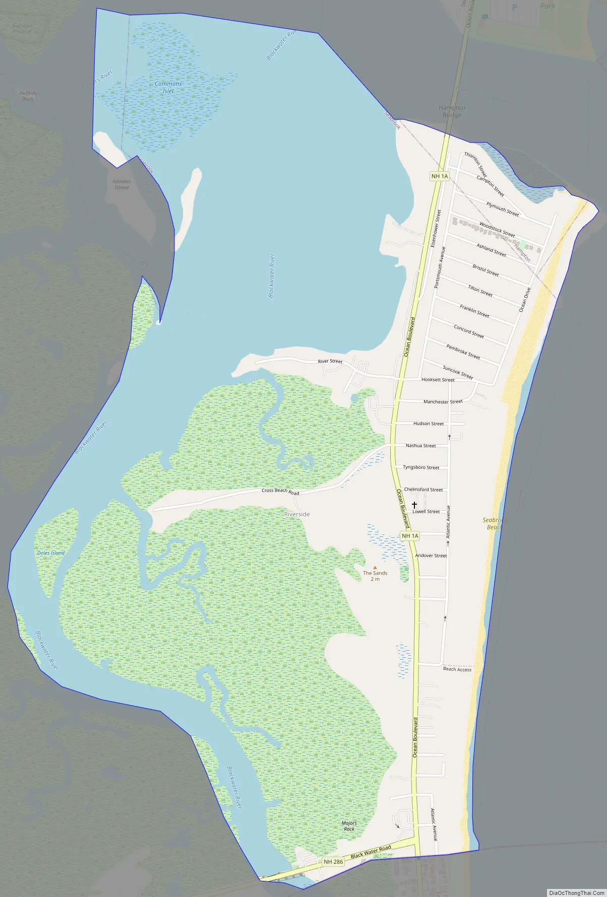
Seabrook Beach Road Map
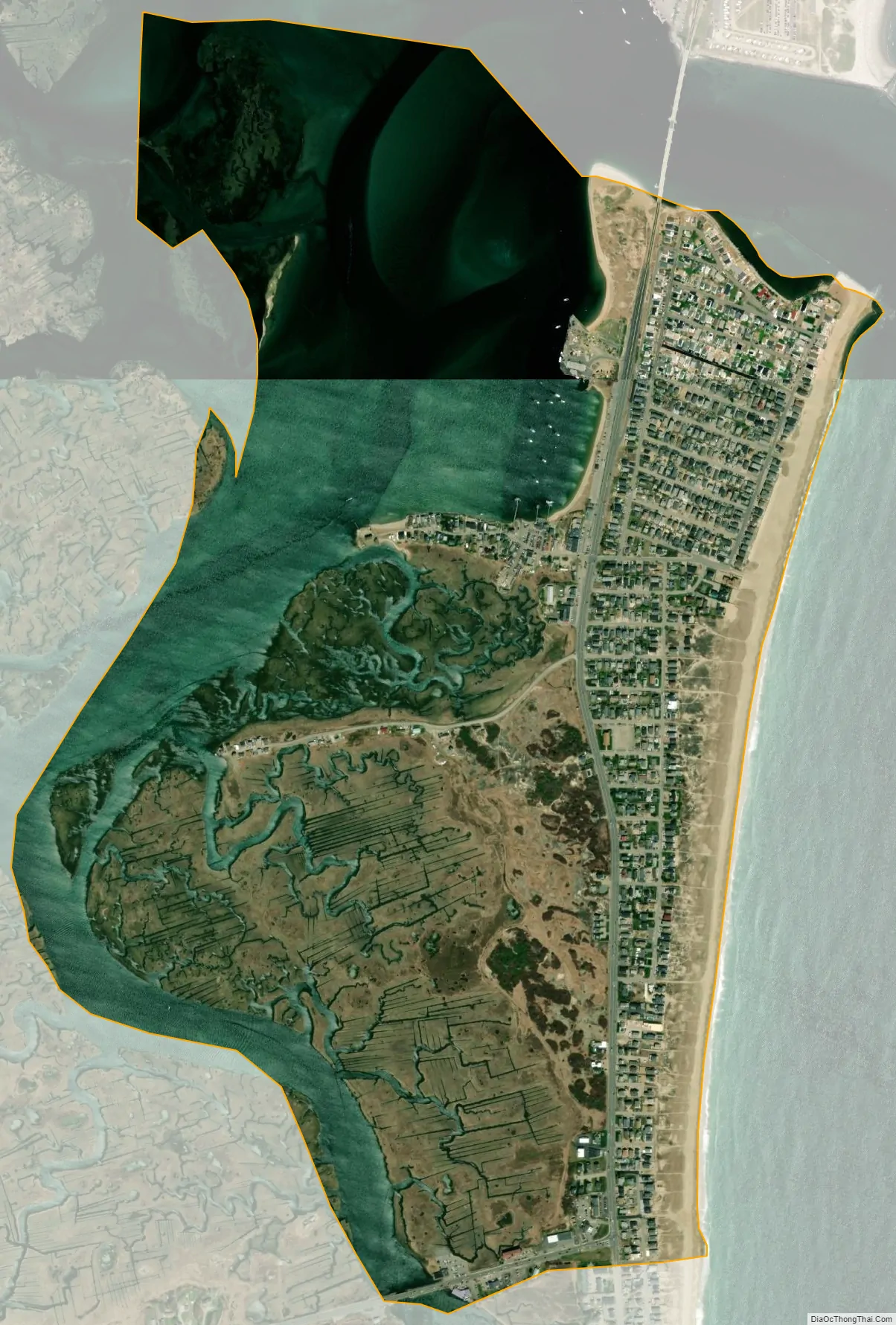
Seabrook Beach city Satellite Map
Geography
The CDP is a compact area of homes between the tidal Blackwater River and the Atlantic Ocean. The community extends from the mouth of the Hampton River in the north to the Massachusetts state line in the south. Most of the CDP is in the eastern part of the town of Seabrook, but the northern end of the CDP, consisting of Thornton Street, Campton Street, Plymouth Street, and parts of Woodstock and Ashland streets, is in the town of Hampton.
NH 1A leads north from Seabrook Beach across the Hampton Bridge into Hampton Beach, while to the south the highway becomes Massachusetts Route 1A in the town of Salisbury, Massachusetts. New Hampshire Route 286 runs west from Route 1A at the southern end of Seabrook Beach; it leads 2.5 miles (4.0 km) to U.S. Route 1 in the northwestern part of Salisbury.
According to the U.S. Census Bureau, the Seabrook Beach CDP has a total area of 1.47 square miles (3.80 km), of which 1.05 square miles (2.71 km) are land and 0.42 square miles (1.09 km), or 28.71%, are water.
See also
Map of New Hampshire State and its subdivision: Map of other states:- Alabama
- Alaska
- Arizona
- Arkansas
- California
- Colorado
- Connecticut
- Delaware
- District of Columbia
- Florida
- Georgia
- Hawaii
- Idaho
- Illinois
- Indiana
- Iowa
- Kansas
- Kentucky
- Louisiana
- Maine
- Maryland
- Massachusetts
- Michigan
- Minnesota
- Mississippi
- Missouri
- Montana
- Nebraska
- Nevada
- New Hampshire
- New Jersey
- New Mexico
- New York
- North Carolina
- North Dakota
- Ohio
- Oklahoma
- Oregon
- Pennsylvania
- Rhode Island
- South Carolina
- South Dakota
- Tennessee
- Texas
- Utah
- Vermont
- Virginia
- Washington
- West Virginia
- Wisconsin
- Wyoming