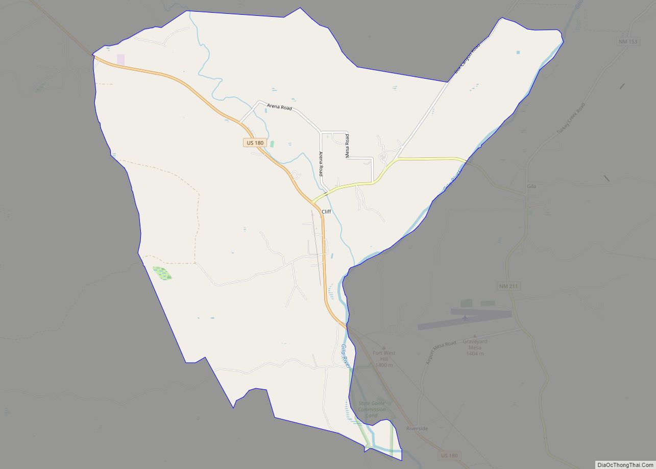
Arenas Valley is a census-designated place in Grant County, New Mexico, United States. Its population was 1,522 as of the 2010 census. Arenas Valley had a post office from December 20, 1944, to April 20, 1987; it still has its own ZIP code, 88022. It was named because it was in the valley of the Rio de Arenas.
| Name: | Arenas Valley CDP |
|---|---|
| LSAD Code: | 57 |
| LSAD Description: | CDP (suffix) |
| State: | New Mexico |
| County: | Grant County |
| Elevation: | 6,138 ft (1,871 m) |
| Total Area: | 4.07 sq mi (10.53 km²) |
| Land Area: | 4.07 sq mi (10.53 km²) |
| Water Area: | 0.00 sq mi (0.00 km²) |
| Total Population: | 1,291 |
| Population Density: | 317.43/sq mi (122.57/km²) |
| ZIP code: | 88022 |
| Area code: | 575 |
| FIPS code: | 3504660 |
| GNISfeature ID: | 903269 |
Online Interactive Map
Click on ![]() to view map in "full screen" mode.
to view map in "full screen" mode.
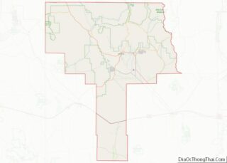
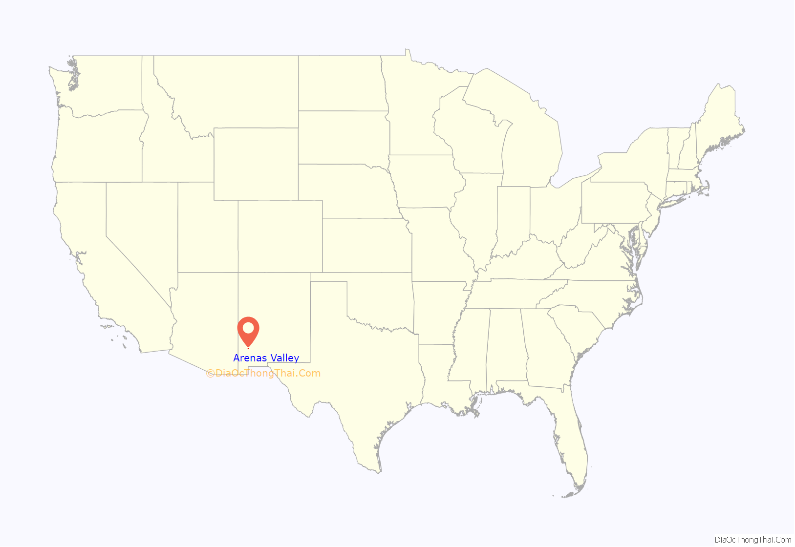
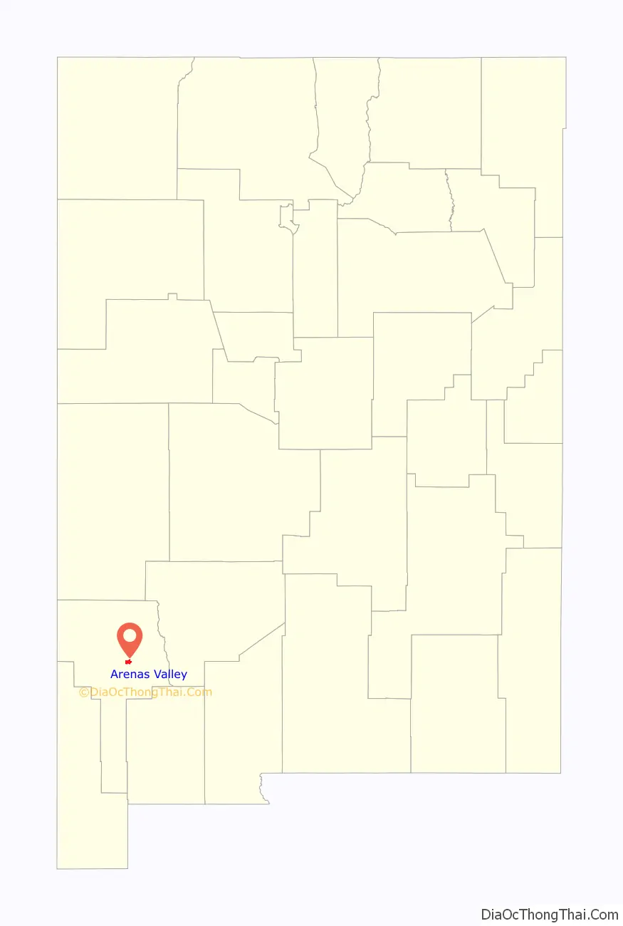
Arenas Valley location map. Where is Arenas Valley CDP?
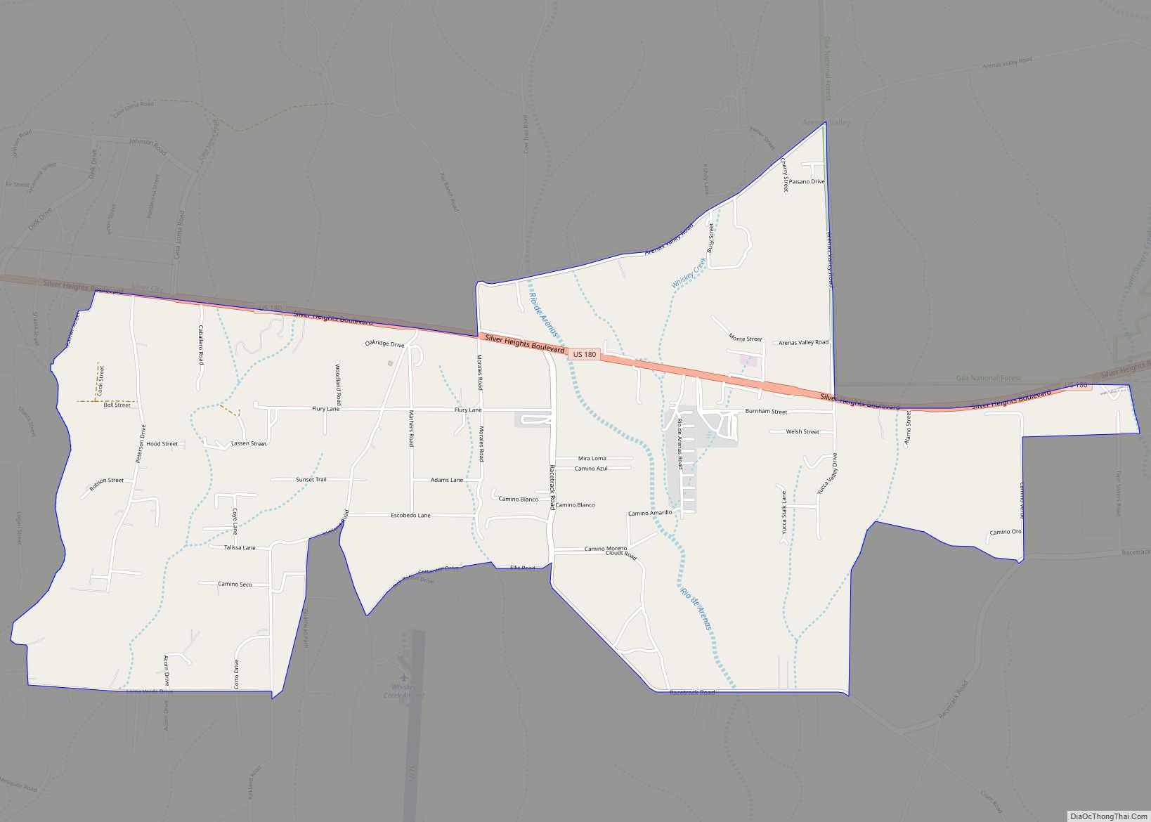
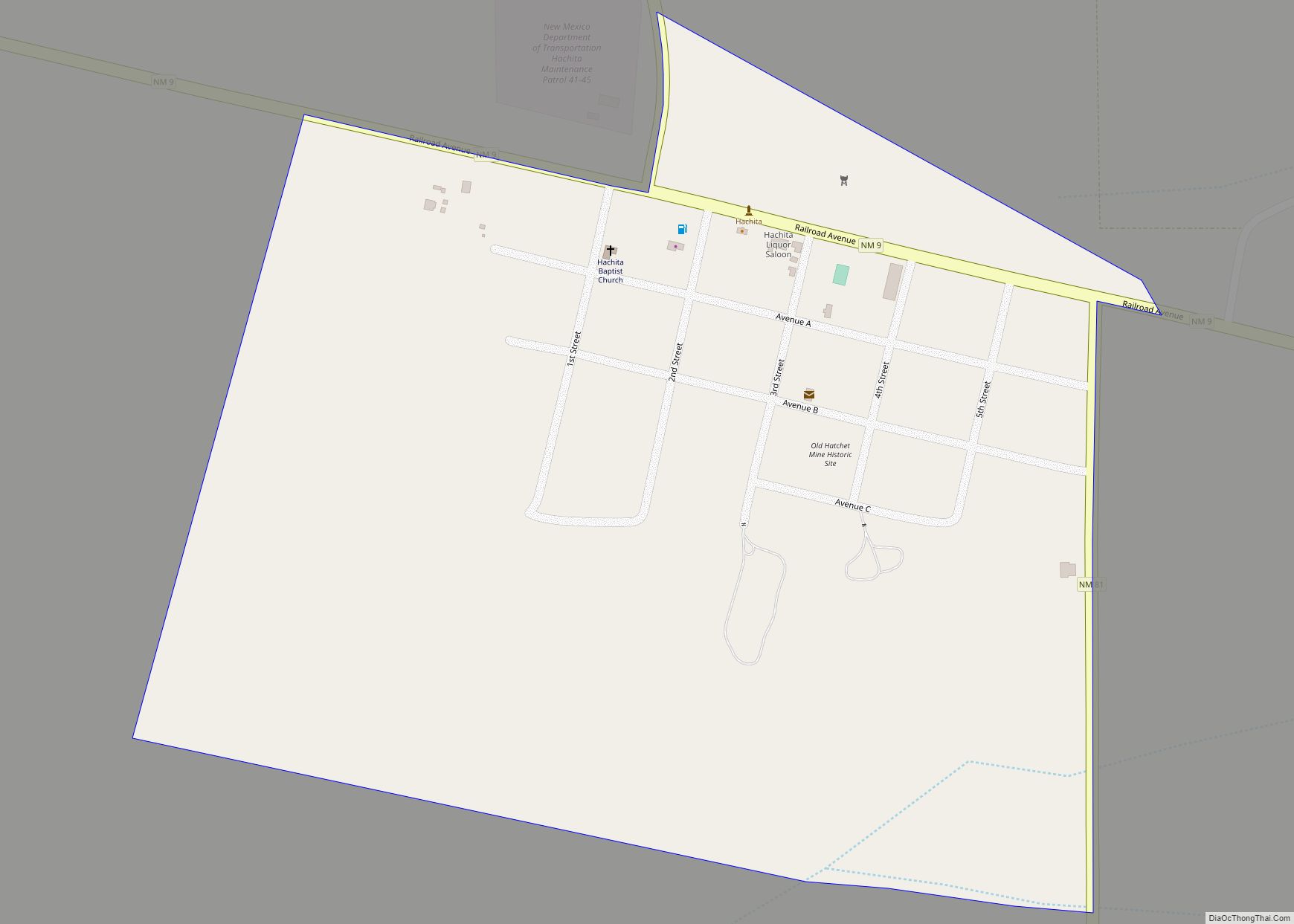
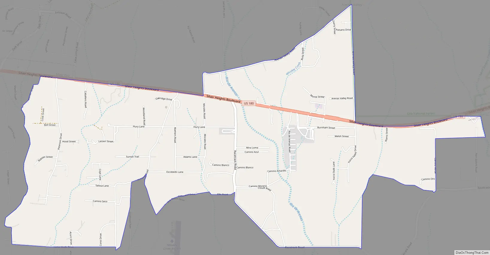
Arenas Valley Road Map
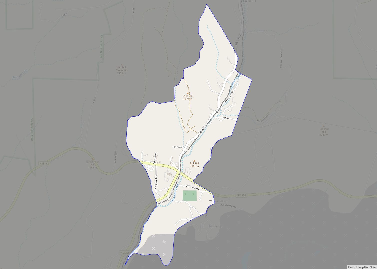
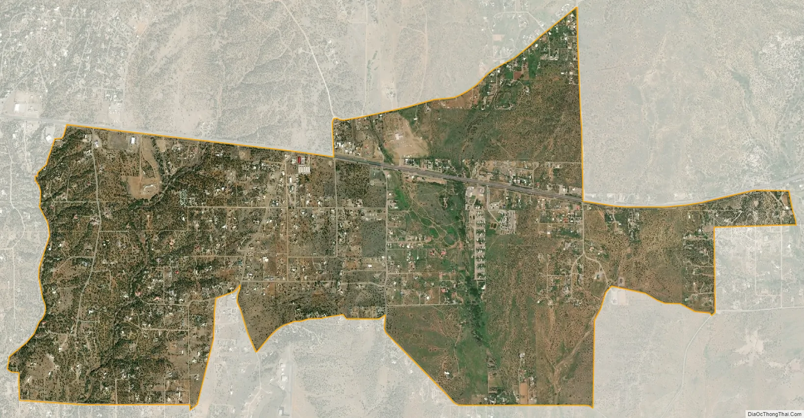
Arenas Valley city Satellite Map
See also
Map of New Mexico State and its subdivision: Map of other states:- Alabama
- Alaska
- Arizona
- Arkansas
- California
- Colorado
- Connecticut
- Delaware
- District of Columbia
- Florida
- Georgia
- Hawaii
- Idaho
- Illinois
- Indiana
- Iowa
- Kansas
- Kentucky
- Louisiana
- Maine
- Maryland
- Massachusetts
- Michigan
- Minnesota
- Mississippi
- Missouri
- Montana
- Nebraska
- Nevada
- New Hampshire
- New Jersey
- New Mexico
- New York
- North Carolina
- North Dakota
- Ohio
- Oklahoma
- Oregon
- Pennsylvania
- Rhode Island
- South Carolina
- South Dakota
- Tennessee
- Texas
- Utah
- Vermont
- Virginia
- Washington
- West Virginia
- Wisconsin
- Wyoming