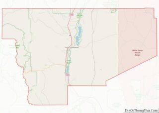
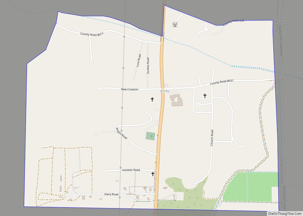
Arrey is a census-designated place in Sierra County, New Mexico, United States. It lies about 22 miles (35.4 km) south of Truth or Consequences. As of the 2010 census, its population was 232.
In 1890, the town was founded as Bonito when several Hispanic families made a deal with a cattle agent to settle here. The land was then deeded to the Butte Land and Cattle Company after the land was proved. In 1901, a post office was established, with Urbano Arrey as the first postmaster; he gave his name to the community. Today descendants of the original homesteaders still live in the community.
| Name: | Arrey CDP |
|---|---|
| LSAD Code: | 57 |
| LSAD Description: | CDP (suffix) |
| State: | New Mexico |
| County: | Sierra County |
| Elevation: | 4,180 ft (1,270 m) |
| Total Area: | 0.79 sq mi (2.05 km²) |
| Land Area: | 0.79 sq mi (2.05 km²) |
| Water Area: | 0.00 sq mi (0.00 km²) |
| Total Population: | 296 |
| Population Density: | 374.68/sq mi (144.71/km²) |
| Area code: | 575 |
| FIPS code: | 3504870 |
| GNISfeature ID: | 898717 |
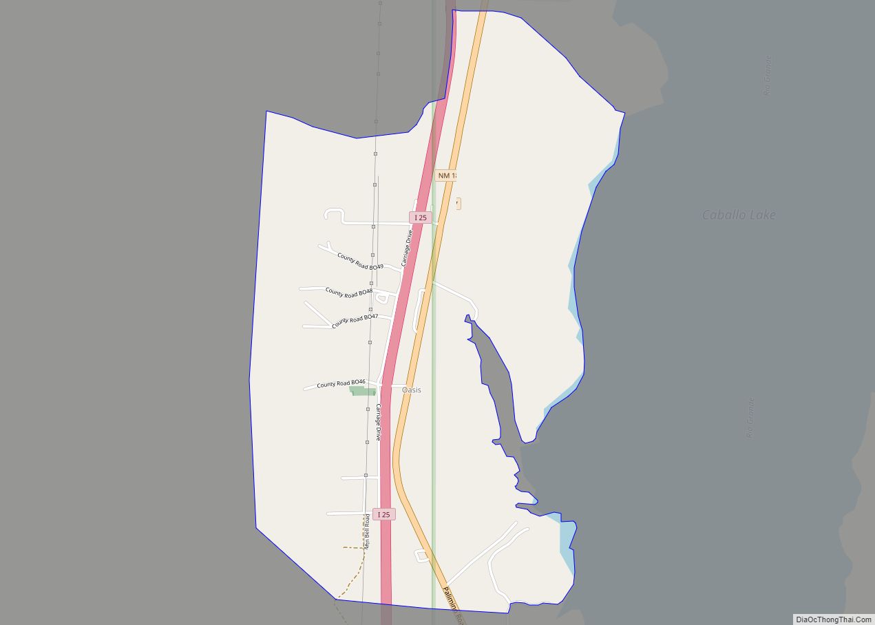
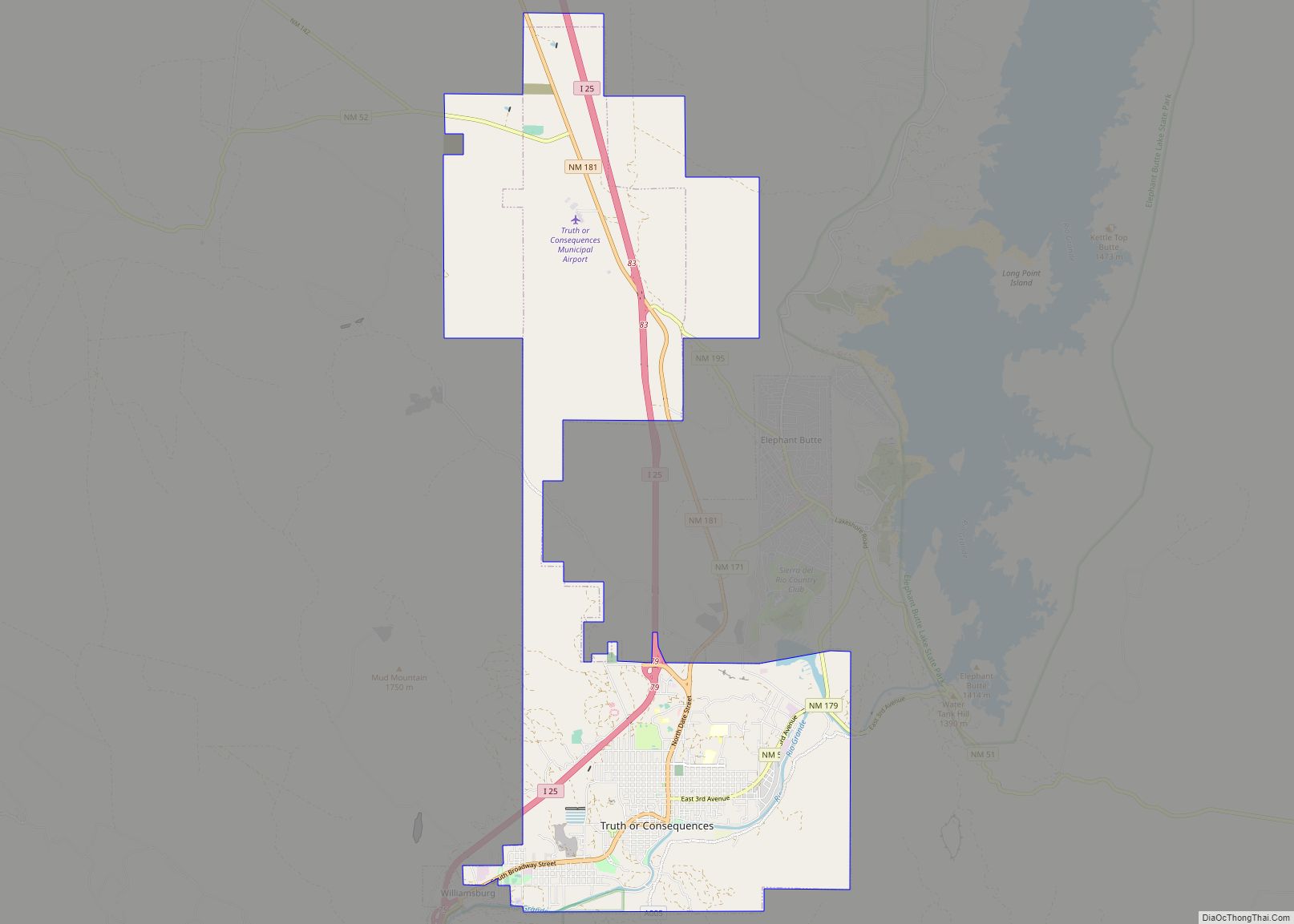
Online Interactive Map
Click on ![]() to view map in "full screen" mode.
to view map in "full screen" mode.
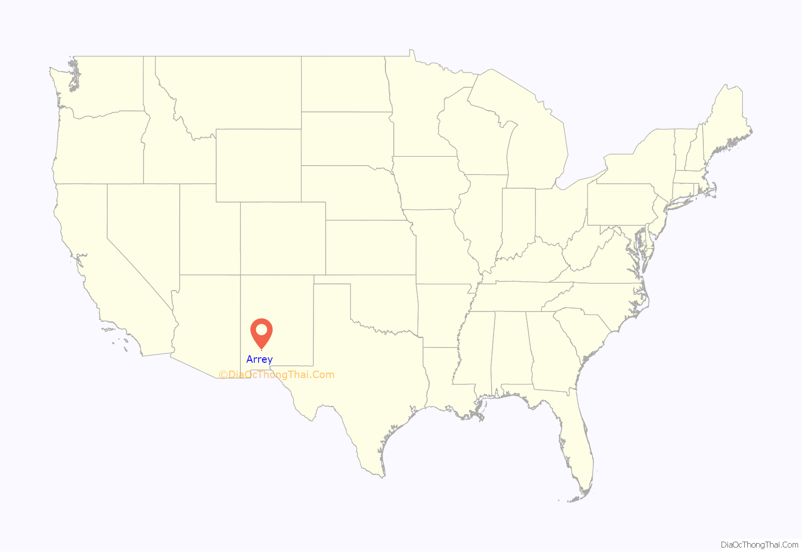
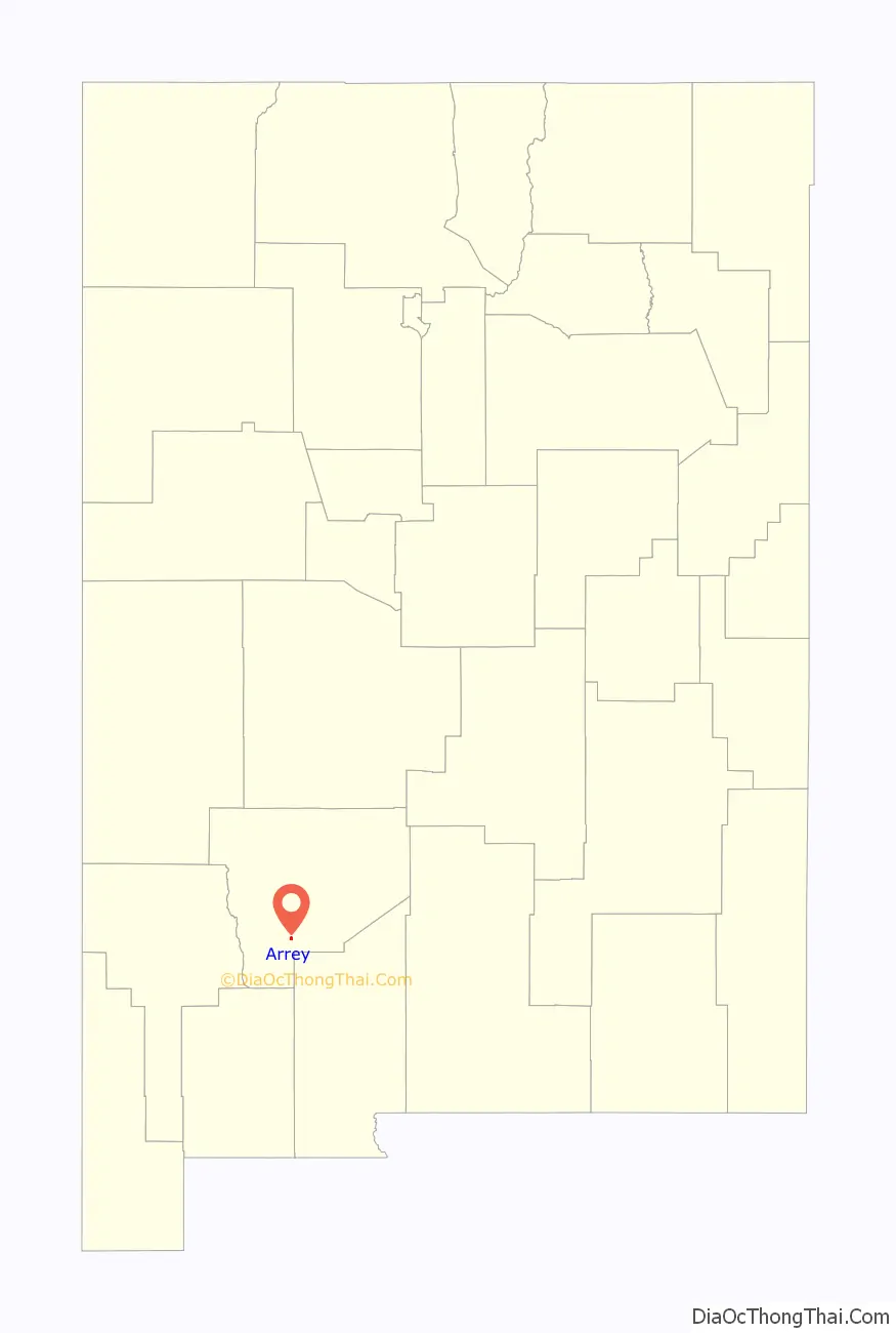
Arrey location map. Where is Arrey CDP?
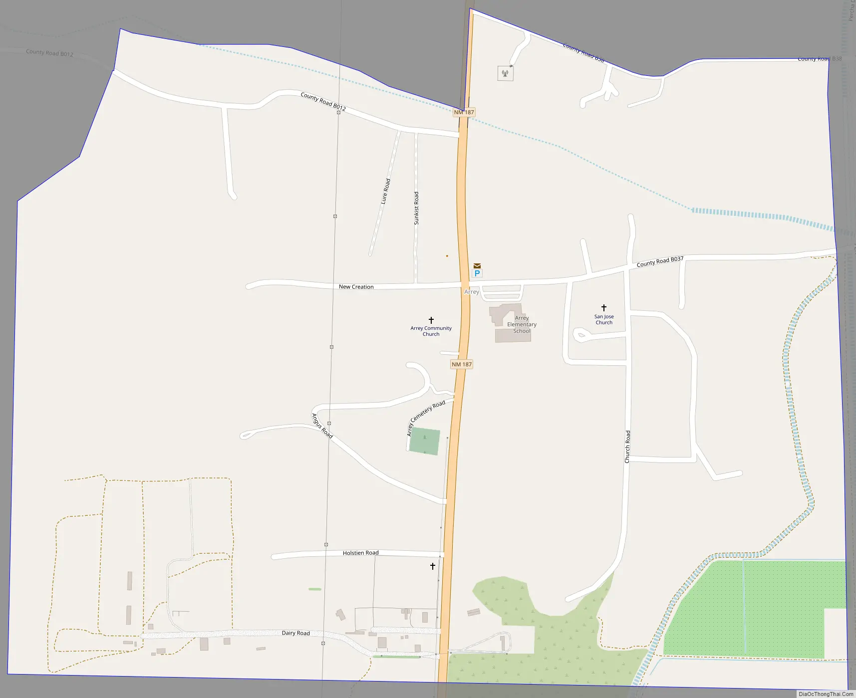
Arrey Road Map
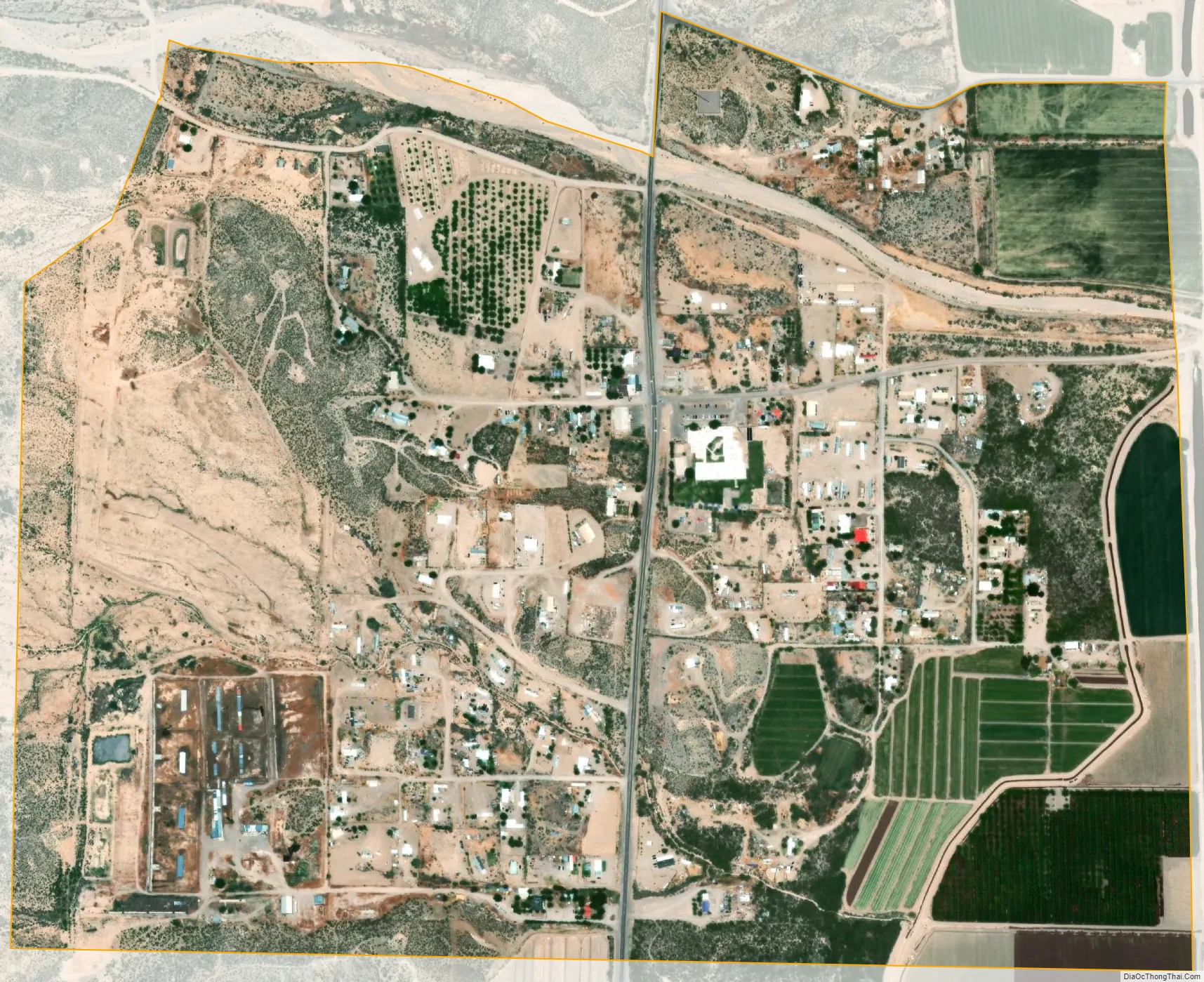
Arrey city Satellite Map
See also
Map of New Mexico State and its subdivision: Map of other states:- Alabama
- Alaska
- Arizona
- Arkansas
- California
- Colorado
- Connecticut
- Delaware
- District of Columbia
- Florida
- Georgia
- Hawaii
- Idaho
- Illinois
- Indiana
- Iowa
- Kansas
- Kentucky
- Louisiana
- Maine
- Maryland
- Massachusetts
- Michigan
- Minnesota
- Mississippi
- Missouri
- Montana
- Nebraska
- Nevada
- New Hampshire
- New Jersey
- New Mexico
- New York
- North Carolina
- North Dakota
- Ohio
- Oklahoma
- Oregon
- Pennsylvania
- Rhode Island
- South Carolina
- South Dakota
- Tennessee
- Texas
- Utah
- Vermont
- Virginia
- Washington
- West Virginia
- Wisconsin
- Wyoming