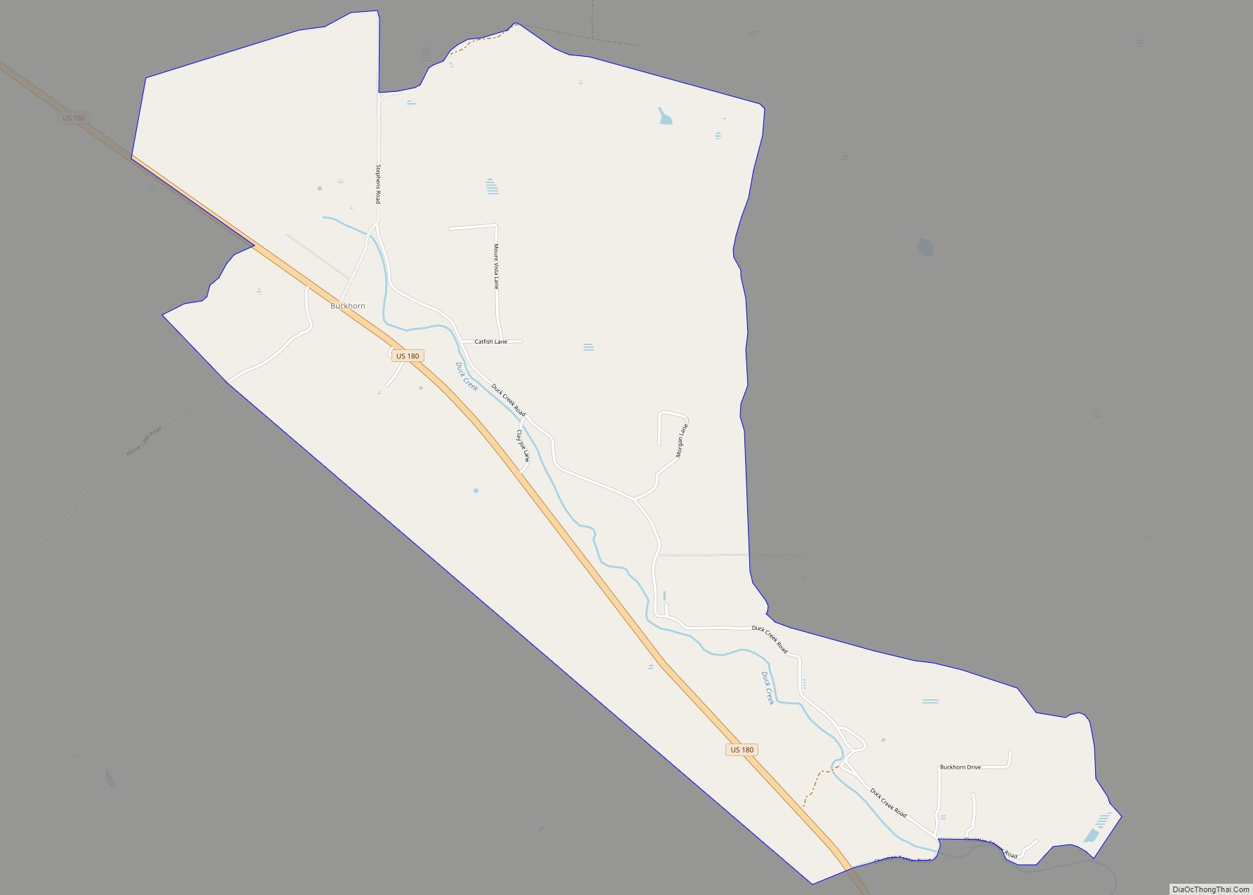
Buckhorn is a census-designated place in Grant County, New Mexico, United States. Its population was 200 as of the 2010 census. Buckhorn has a post office with ZIP code 88025. U.S. Route 180 passes through the community. The post office was established in 1913. Buckhorn was named for the nearby Buckhorn Creek.
| Name: | Buckhorn CDP |
|---|---|
| LSAD Code: | 57 |
| LSAD Description: | CDP (suffix) |
| State: | New Mexico |
| County: | Grant County |
| Elevation: | 4,786 ft (1,459 m) |
| Total Area: | 4.64 sq mi (12.01 km²) |
| Land Area: | 4.64 sq mi (12.01 km²) |
| Water Area: | 0.00 sq mi (0.00 km²) |
| Total Population: | 172 |
| Population Density: | 37.10/sq mi (14.33/km²) |
| ZIP code: | 88025 |
| Area code: | 575 |
| FIPS code: | 3509630 |
| GNISfeature ID: | 904146 |
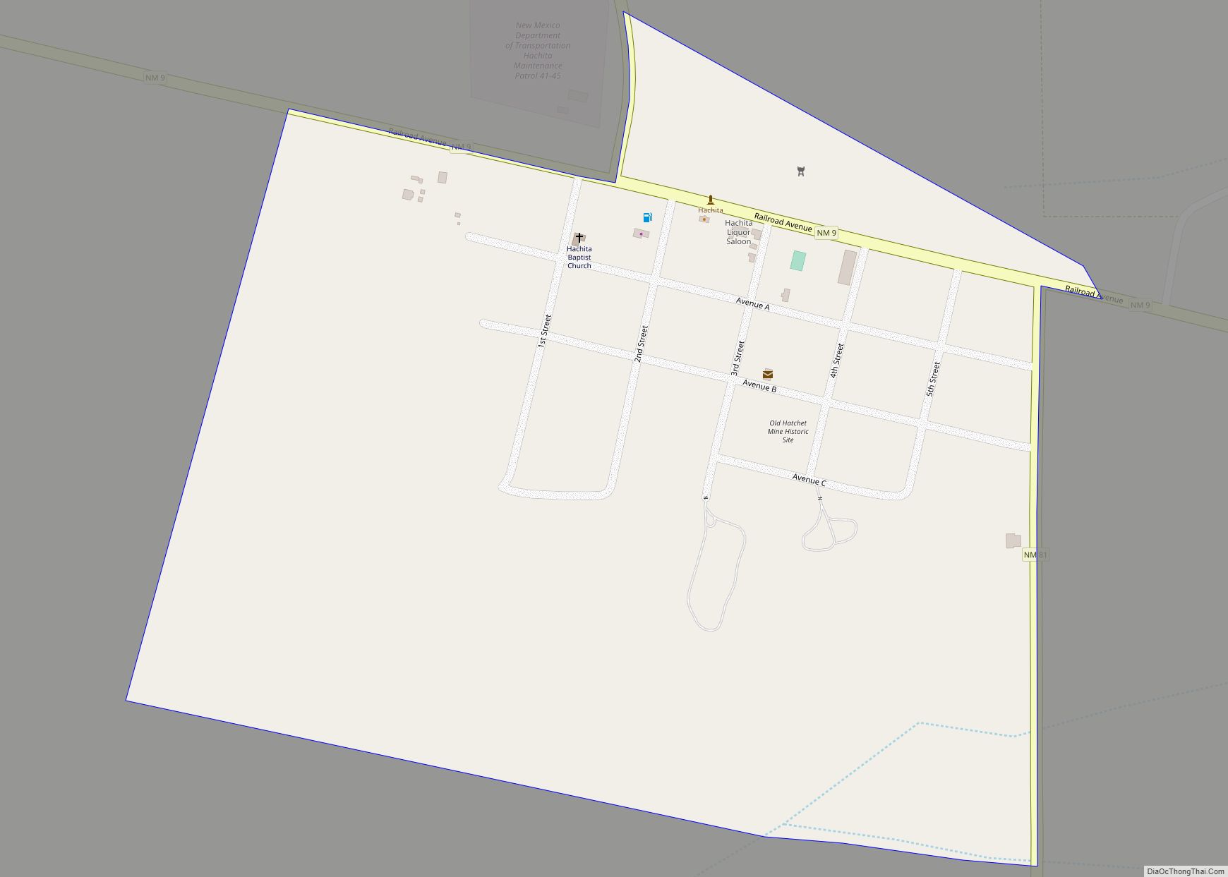
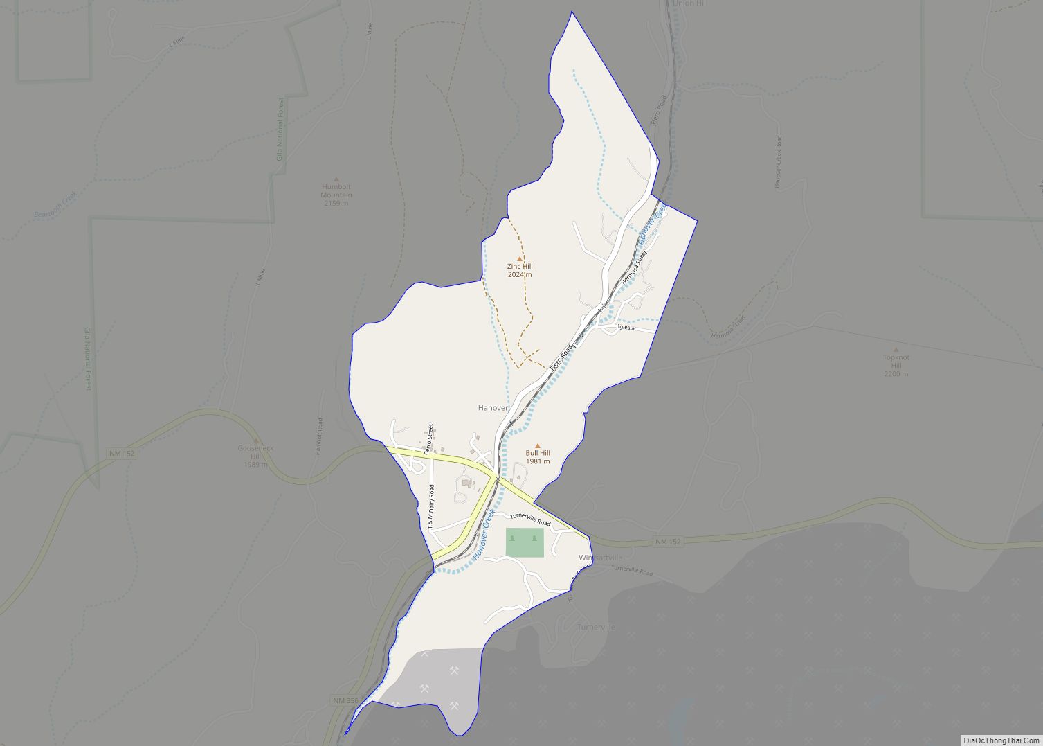
Online Interactive Map
Click on ![]() to view map in "full screen" mode.
to view map in "full screen" mode.
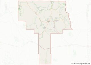
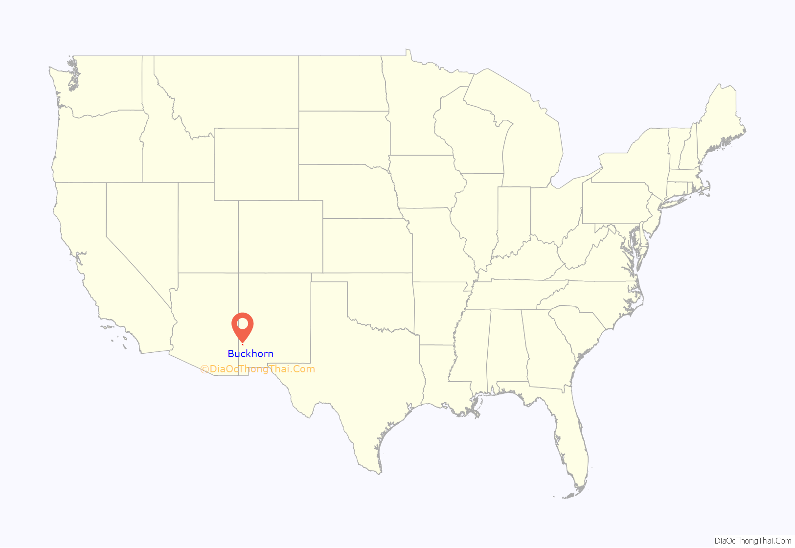
Buckhorn location map. Where is Buckhorn CDP?
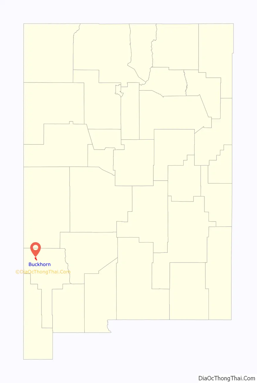
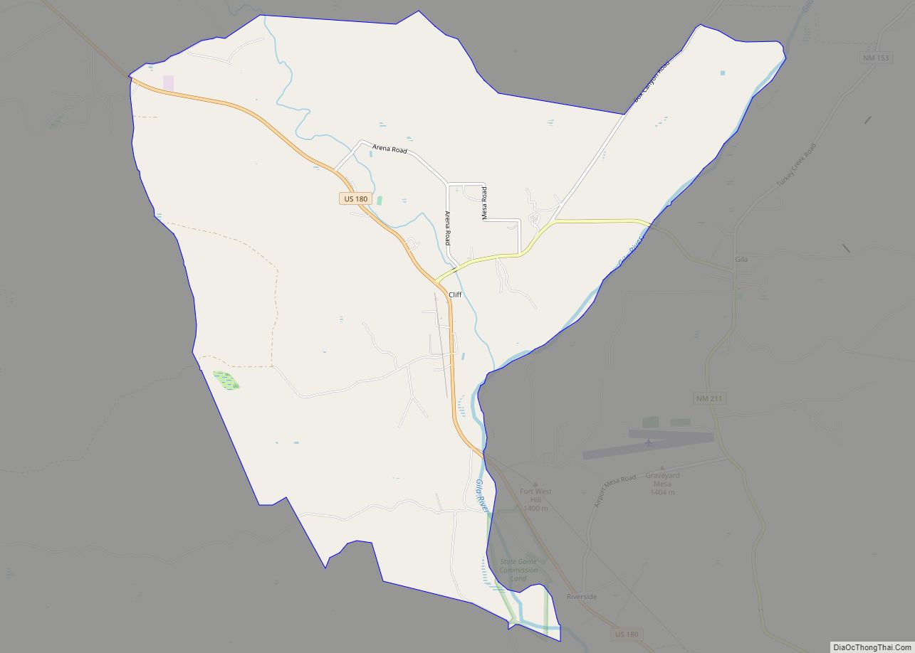
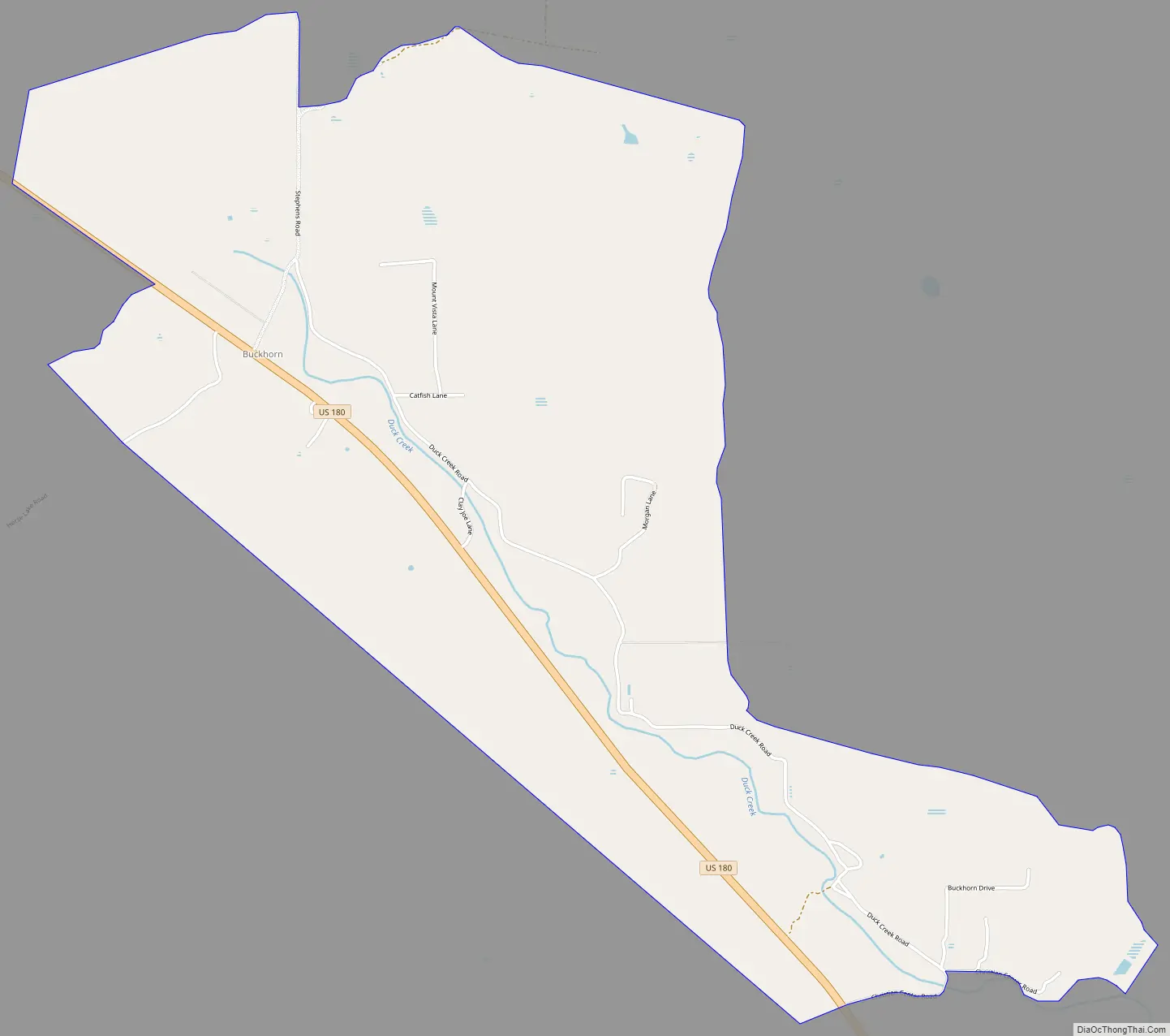
Buckhorn Road Map
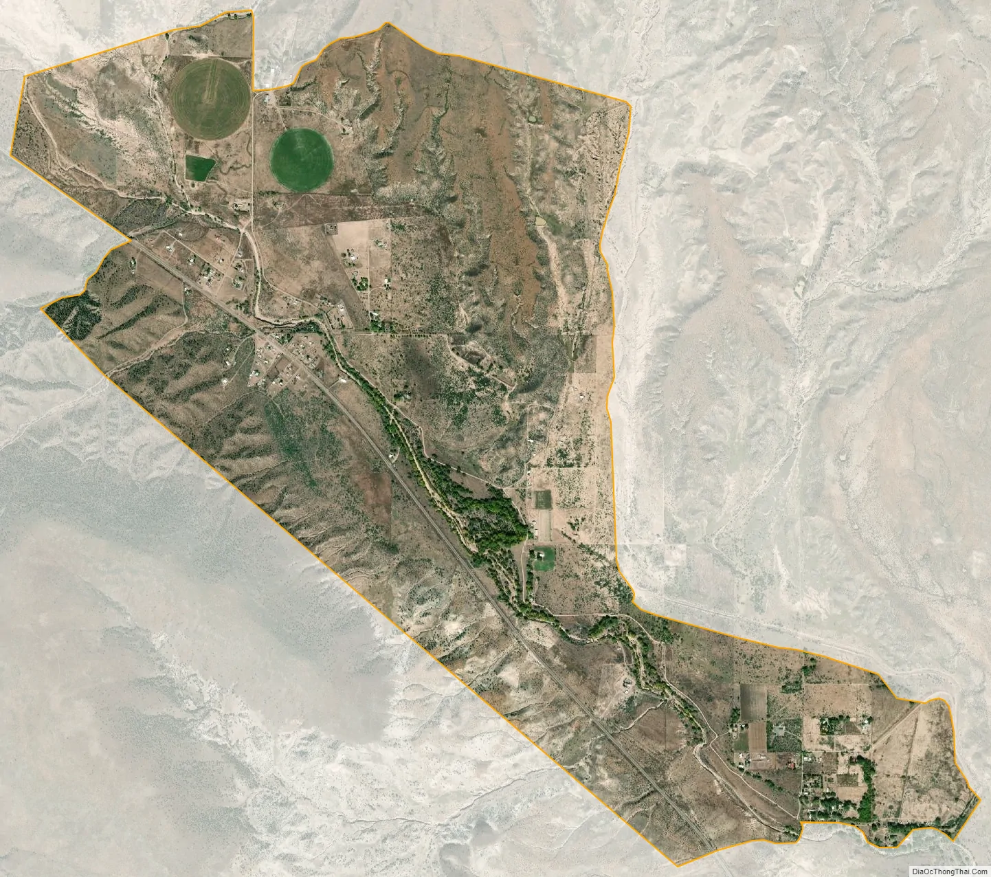
Buckhorn city Satellite Map
See also
Map of New Mexico State and its subdivision: Map of other states:- Alabama
- Alaska
- Arizona
- Arkansas
- California
- Colorado
- Connecticut
- Delaware
- District of Columbia
- Florida
- Georgia
- Hawaii
- Idaho
- Illinois
- Indiana
- Iowa
- Kansas
- Kentucky
- Louisiana
- Maine
- Maryland
- Massachusetts
- Michigan
- Minnesota
- Mississippi
- Missouri
- Montana
- Nebraska
- Nevada
- New Hampshire
- New Jersey
- New Mexico
- New York
- North Carolina
- North Dakota
- Ohio
- Oklahoma
- Oregon
- Pennsylvania
- Rhode Island
- South Carolina
- South Dakota
- Tennessee
- Texas
- Utah
- Vermont
- Virginia
- Washington
- West Virginia
- Wisconsin
- Wyoming