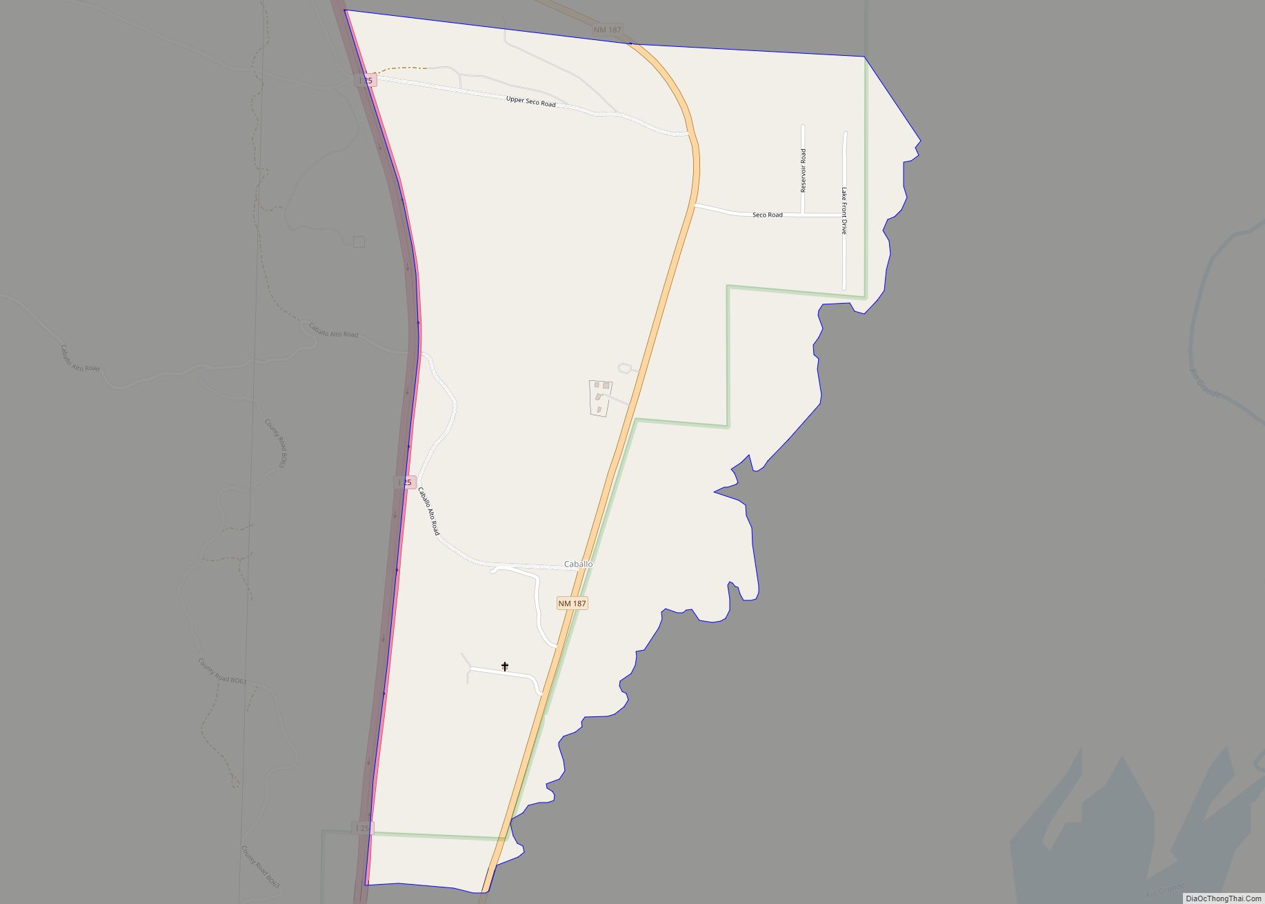
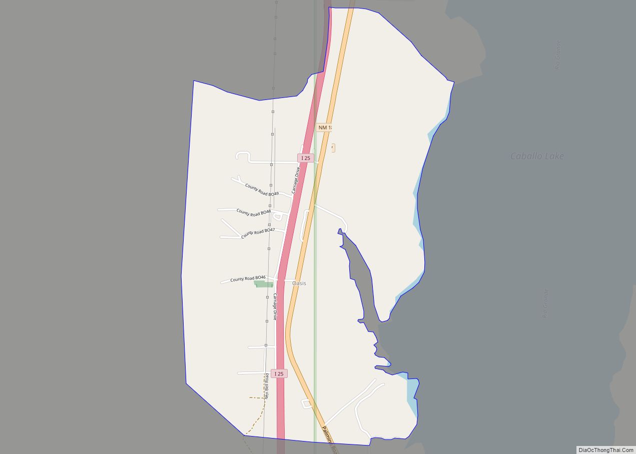
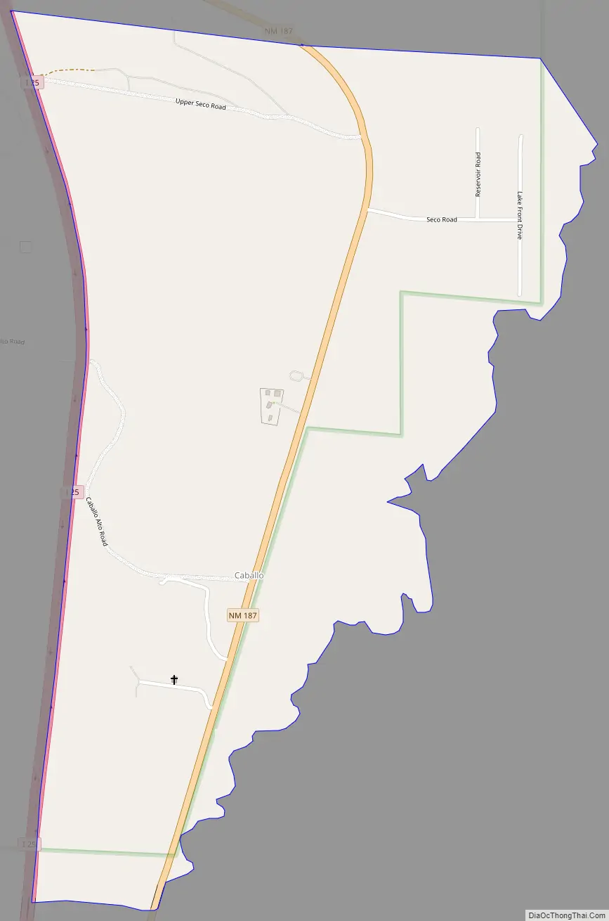
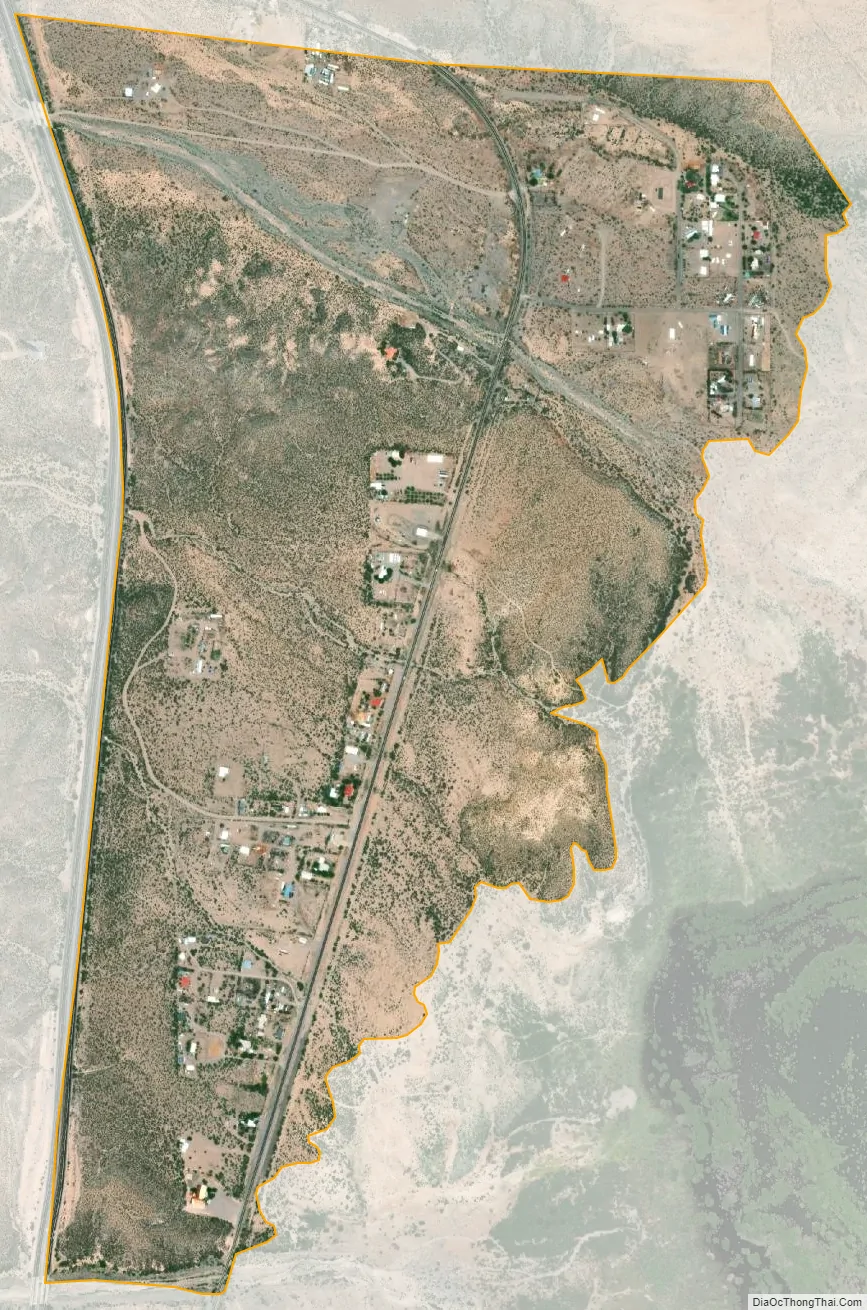
Caballo is a census-designated place in Sierra County, New Mexico, United States. Its population was 112 as of the 2010 census. Caballo has a post office with ZIP code 87931. The community is located along New Mexico State Road 187, north and south of Exit 63 on Interstate 25.
Caballo was founded in 1908, when John Gordon and his extended family homesteaded here. It was named after the mountains to the east. A post office was established in 1916. In 1938, the Caballo Dam was constructed, creating a lake which forced residents to re-establish the community to the west. The lake is host to Caballo Lake State Park.
| Name: | Caballo CDP |
|---|---|
| LSAD Code: | 57 |
| LSAD Description: | CDP (suffix) |
| State: | New Mexico |
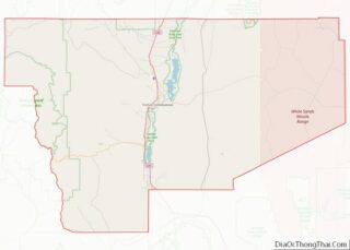
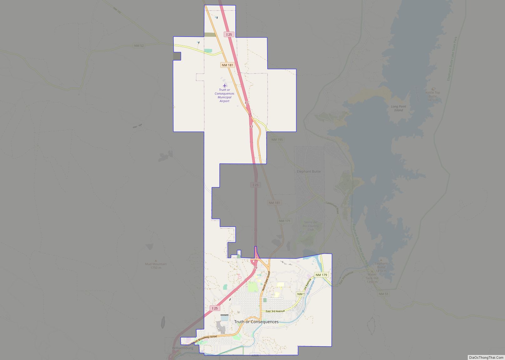
| County: | Sierra County |
| Elevation: | 4,252 ft (1,296 m) |
| Total Area: | 0.98 sq mi (2.54 km²) |
| Land Area: | 0.98 sq mi (2.54 km²) |
| Water Area: | 0.00 sq mi (0.00 km²) |
| Total Population: | 77 |
| Population Density: | 78.49/sq mi (30.32/km²) |
| ZIP code: | 87931 |
| Area code: | 575 |
| FIPS code: | 3510050 |
| GNISfeature ID: | 898738 |
Online Interactive Map
Click on ![]() to view map in "full screen" mode.
to view map in "full screen" mode.
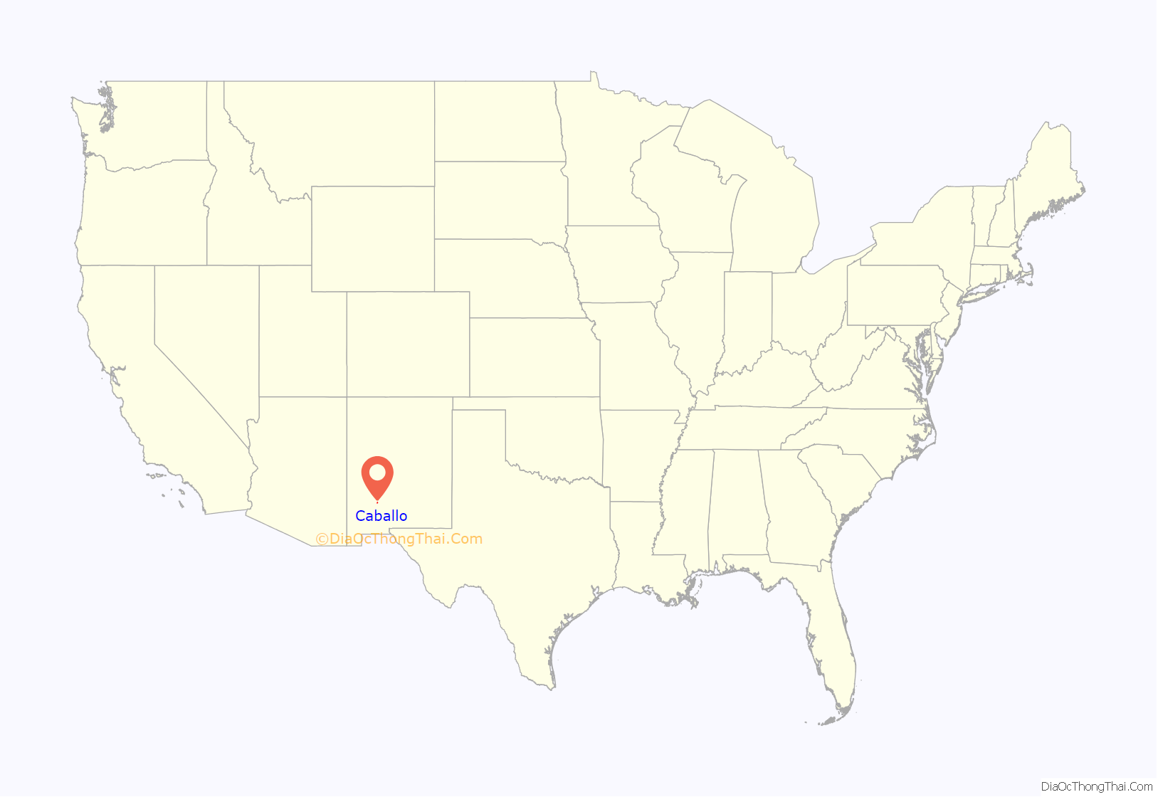
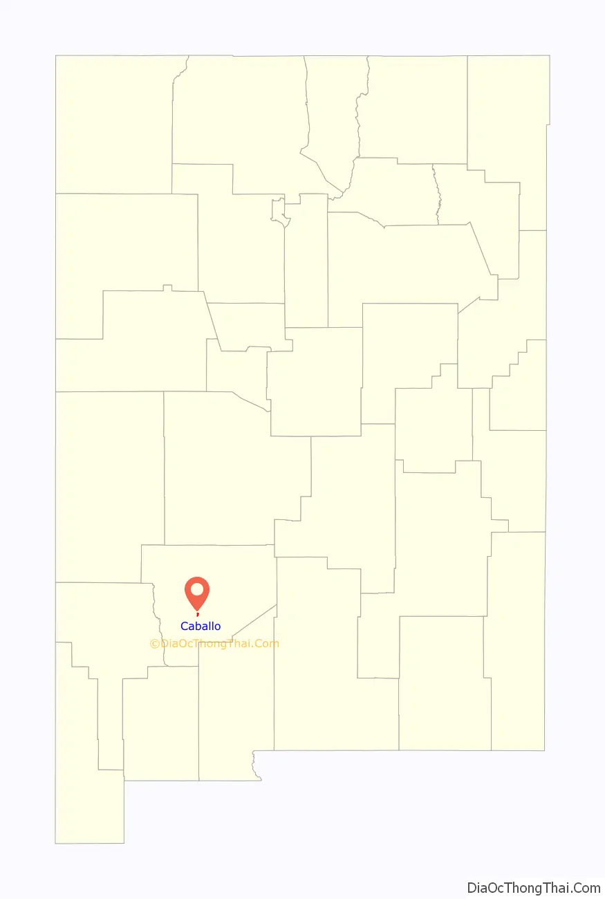
Caballo location map. Where is Caballo CDP?
Caballo Road Map
Caballo city Satellite Map
Geography
Caballo is located at 32°58′50″N 107°18′27″W / 32.980625°N 107.307469°W / 32.980625; -107.307469. According to the U.S. Census Bureau, the CDP has an area of 0.979 square miles (2.54 km), all land. The area stretches for over five miles and includes an active fire department and many businesses, and residences. It borders Caballo Lake State Park.
See also
Map of New Mexico State and its subdivision: Map of other states:- Alabama
- Alaska
- Arizona
- Arkansas
- California
- Colorado
- Connecticut
- Delaware
- District of Columbia
- Florida
- Georgia
- Hawaii
- Idaho
- Illinois
- Indiana
- Iowa
- Kansas
- Kentucky
- Louisiana
- Maine
- Maryland
- Massachusetts
- Michigan
- Minnesota
- Mississippi
- Missouri
- Montana
- Nebraska
- Nevada
- New Hampshire
- New Jersey
- New Mexico
- New York
- North Carolina
- North Dakota
- Ohio
- Oklahoma
- Oregon
- Pennsylvania
- Rhode Island
- South Carolina
- South Dakota
- Tennessee
- Texas
- Utah
- Vermont
- Virginia
- Washington
- West Virginia
- Wisconsin
- Wyoming