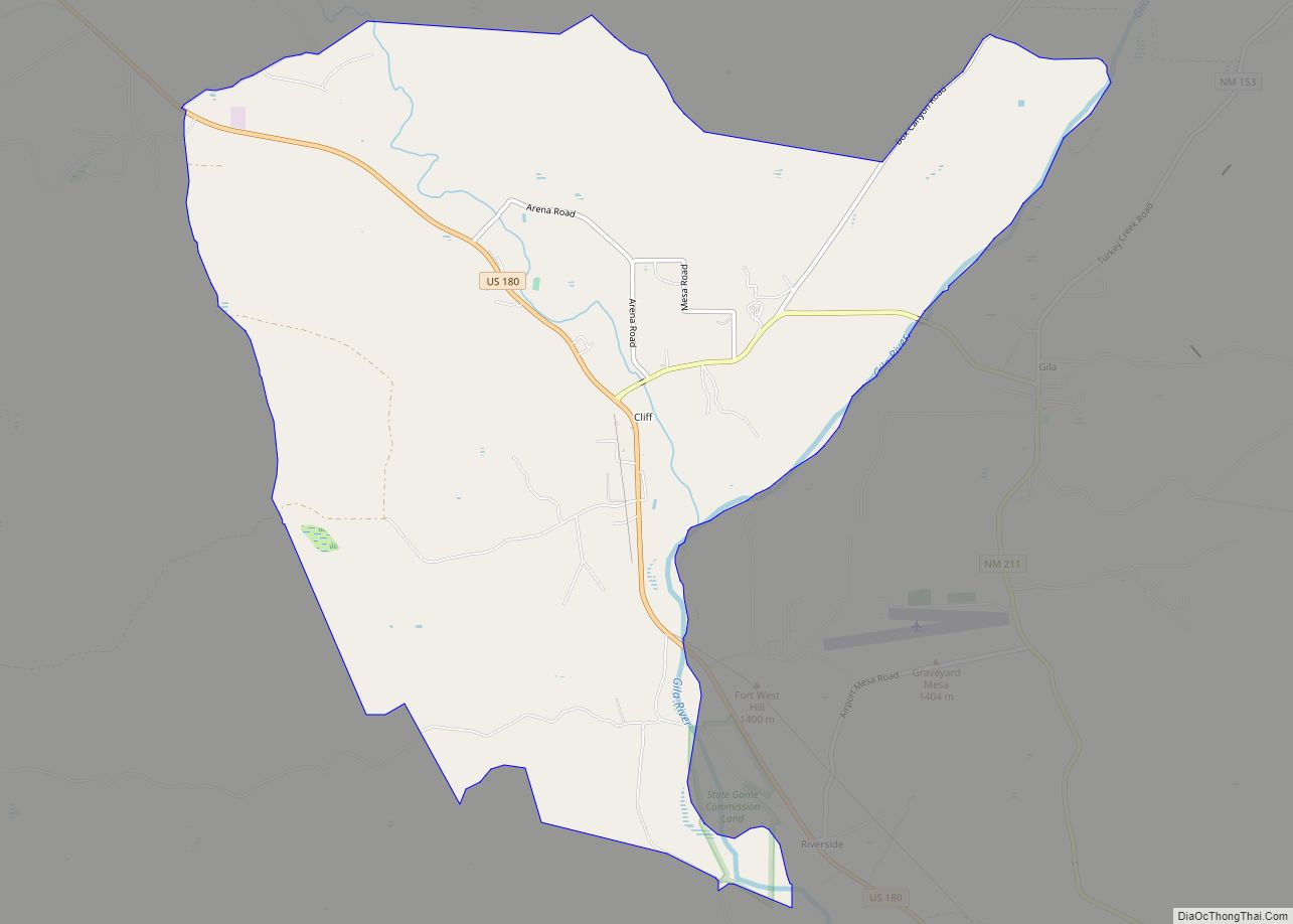
Cliff is a census-designated place in Grant County, New Mexico, United States. Its population was 293 as of the 2010 census.
| Name: | Cliff CDP |
|---|---|
| LSAD Code: | 57 |
| LSAD Description: | CDP (suffix) |
| State: | New Mexico |
| County: | Grant County |
| Elevation: | 4,498 ft (1,371 m) |
| Total Area: | 10.25 sq mi (26.55 km²) |
| Land Area: | 10.25 sq mi (26.55 km²) |
| Water Area: | 0.00 sq mi (0.00 km²) |
| Total Population: | 284 |
| Population Density: | 27.70/sq mi (10.70/km²) |
| ZIP code: | 88028 |
| Area code: | 575 |
| FIPS code: | 3515860 |
| GNISfeature ID: | 898744 |
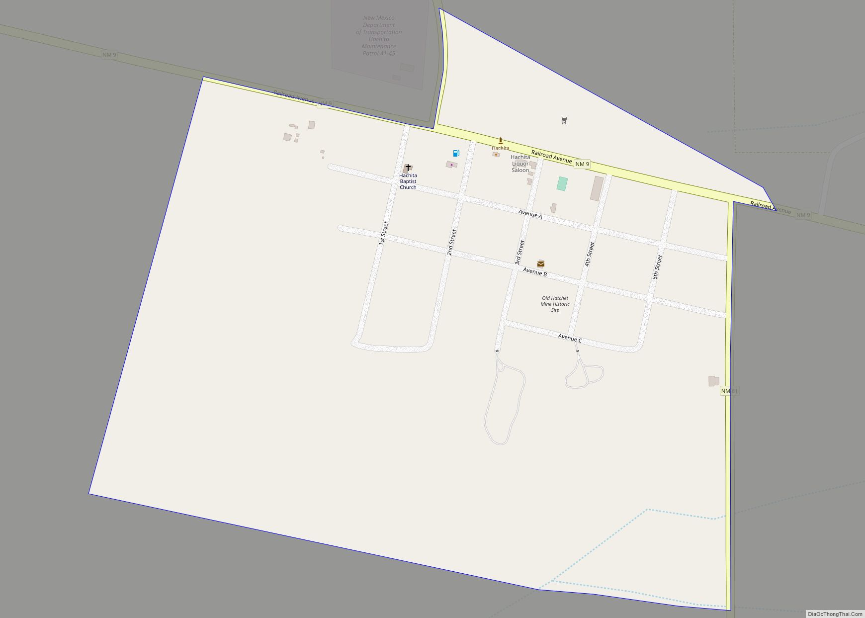
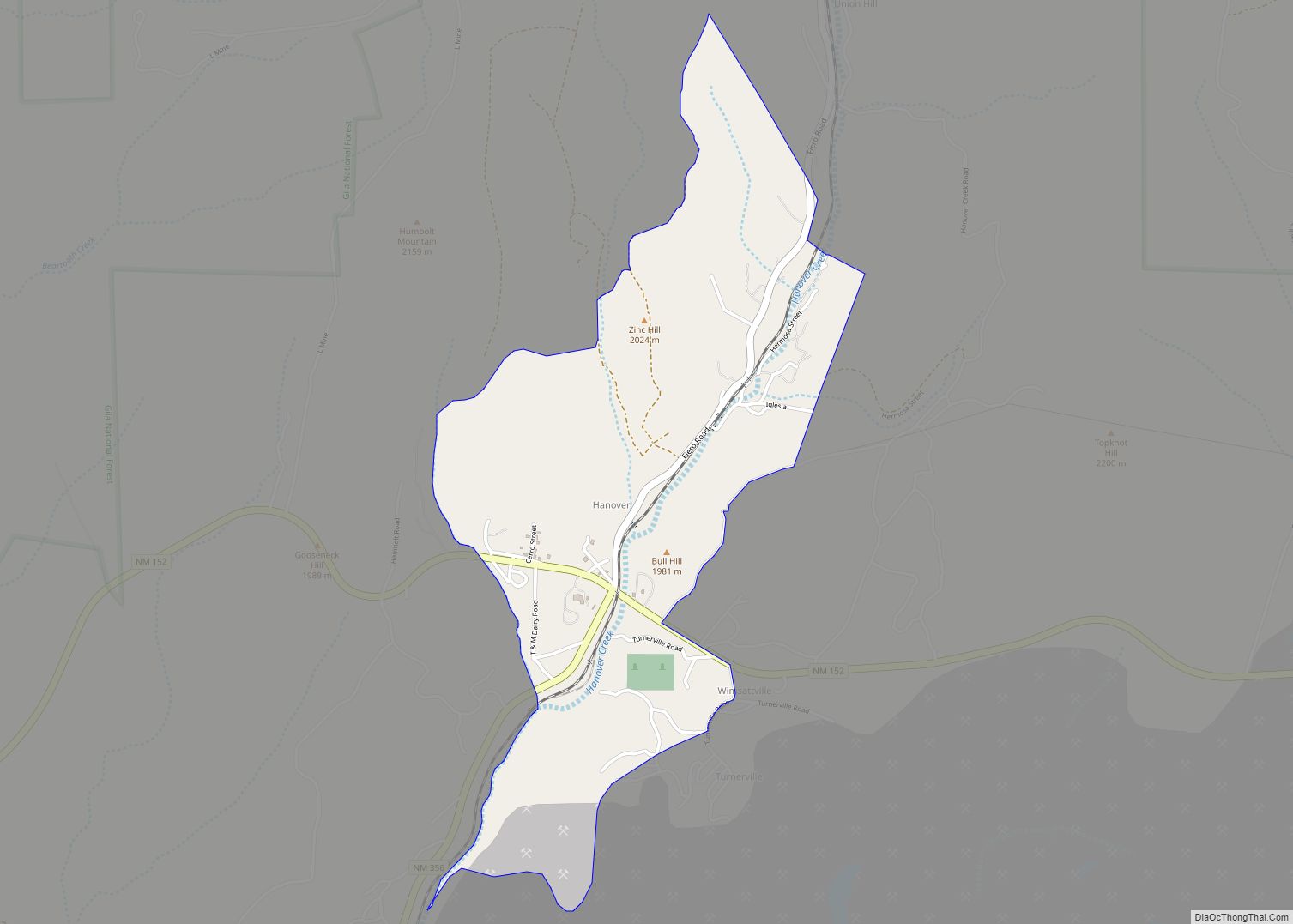
Online Interactive Map
Click on ![]() to view map in "full screen" mode.
to view map in "full screen" mode.
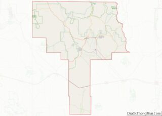
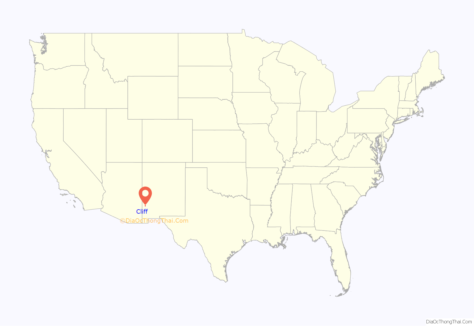
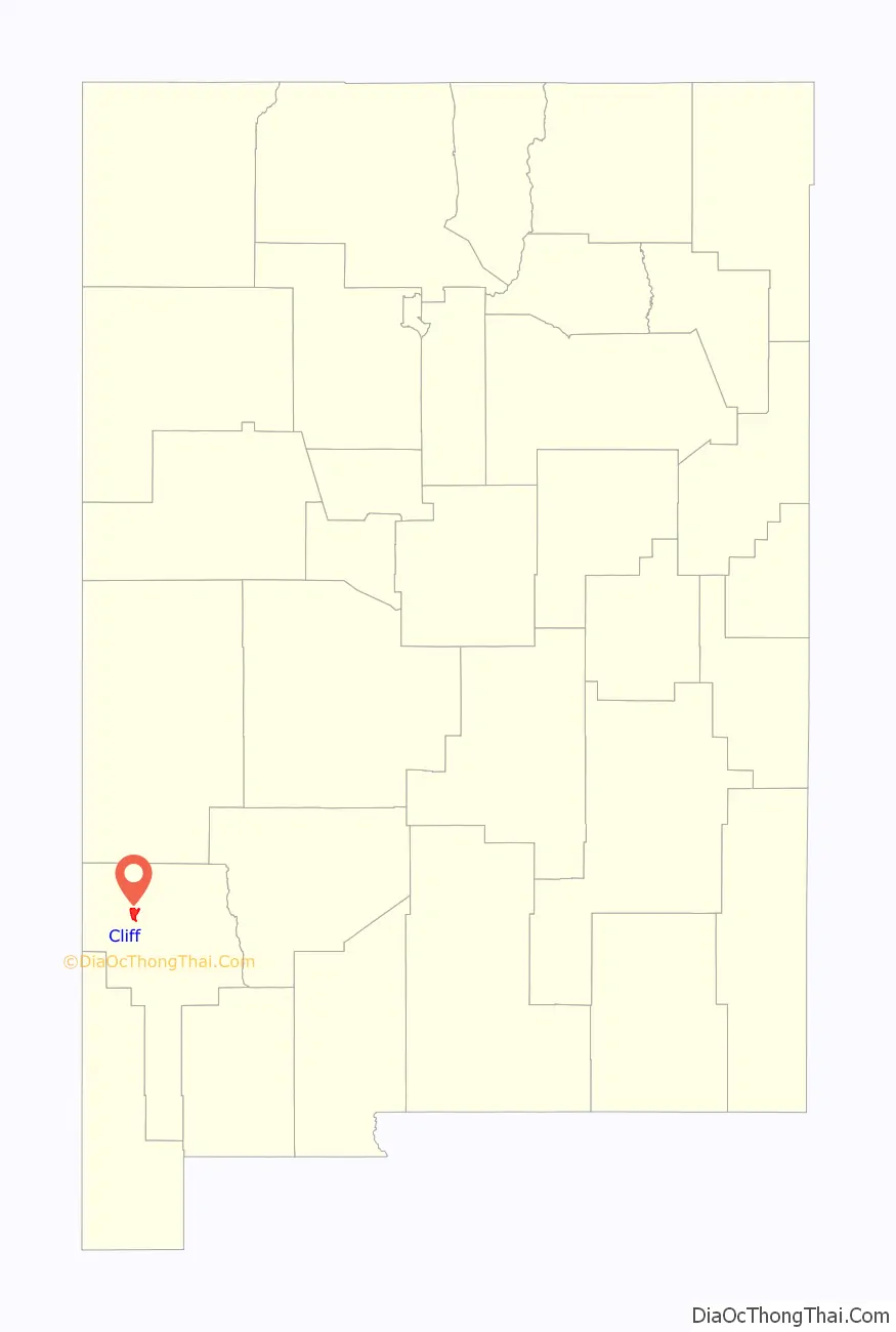
Cliff location map. Where is Cliff CDP?
History
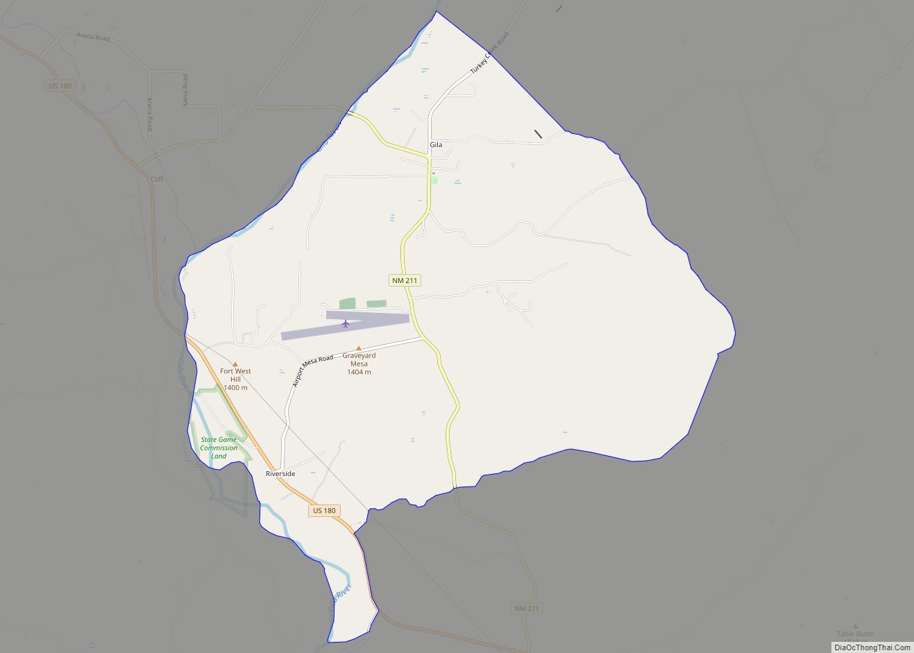
Cliff and the nearby town of Gila were settled in 1884, in the Gila River Valley. The area was and is primarily a ranching and farming community. The local Cliff Post Office was established on August 4, 1894.
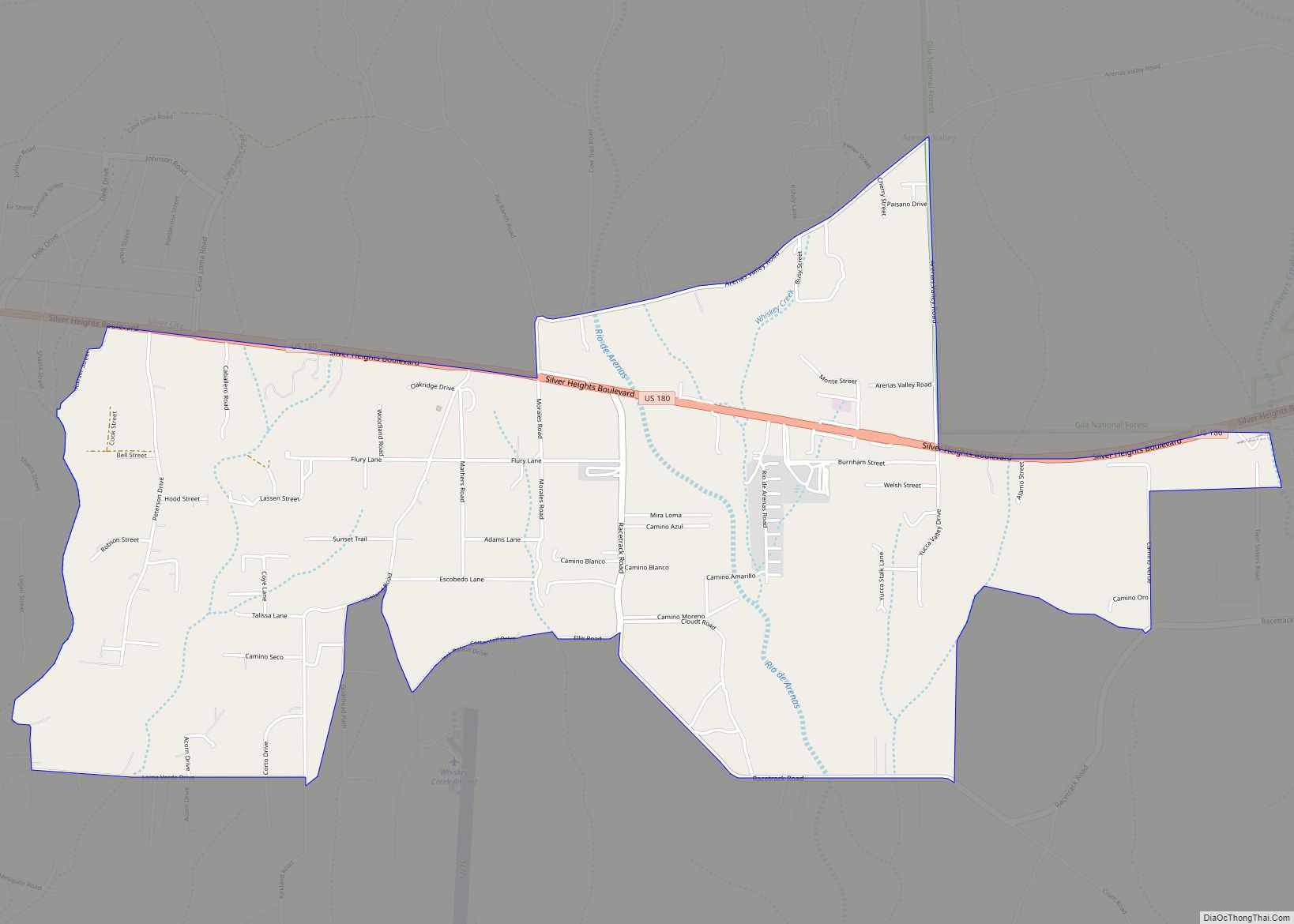
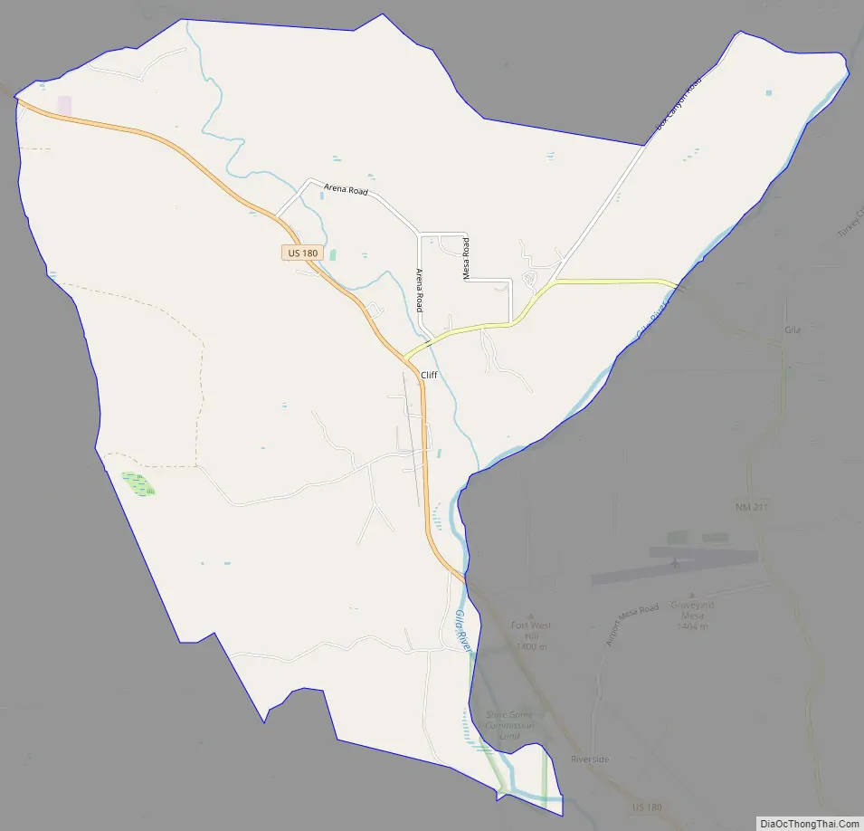
Cliff Road Map
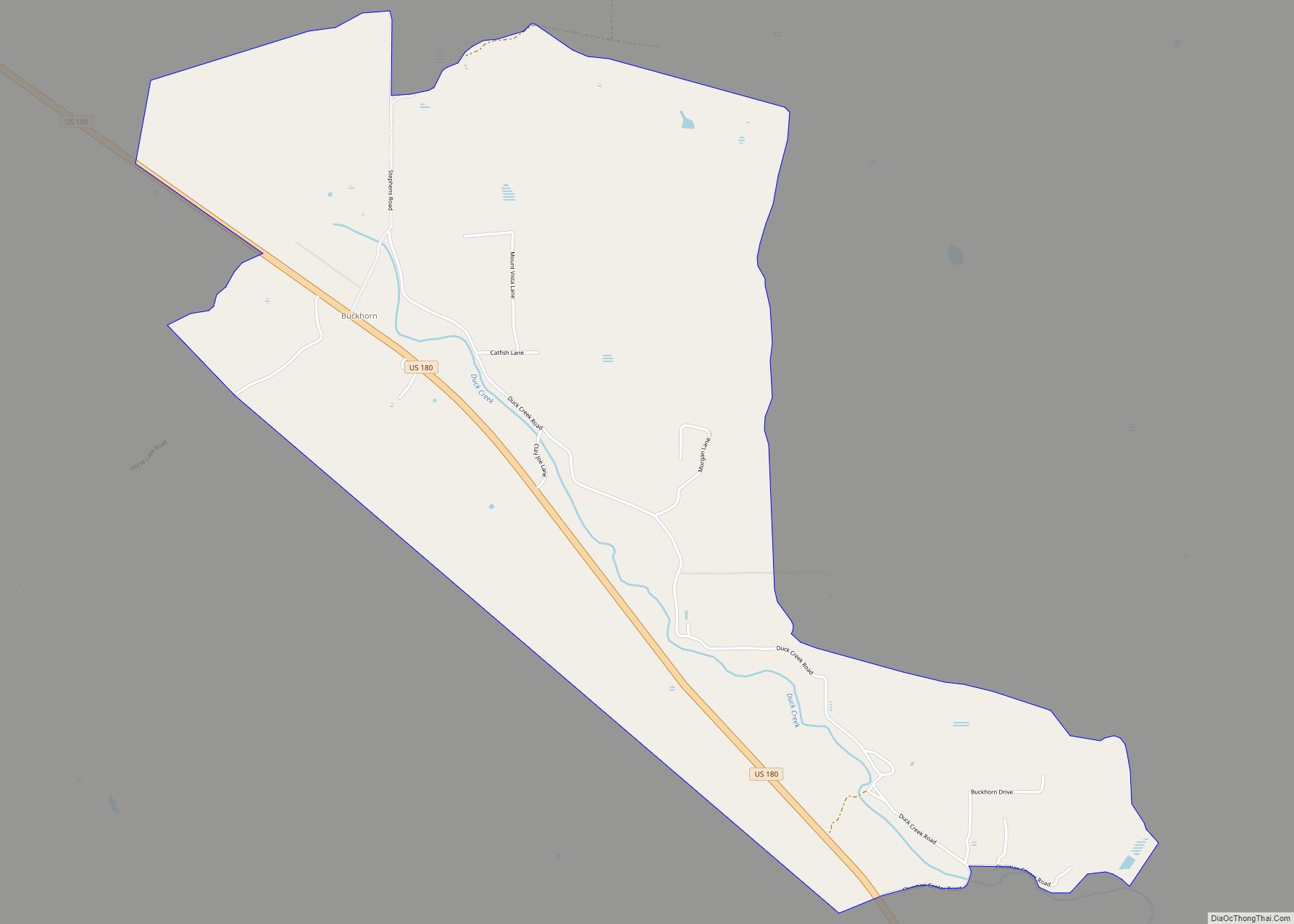
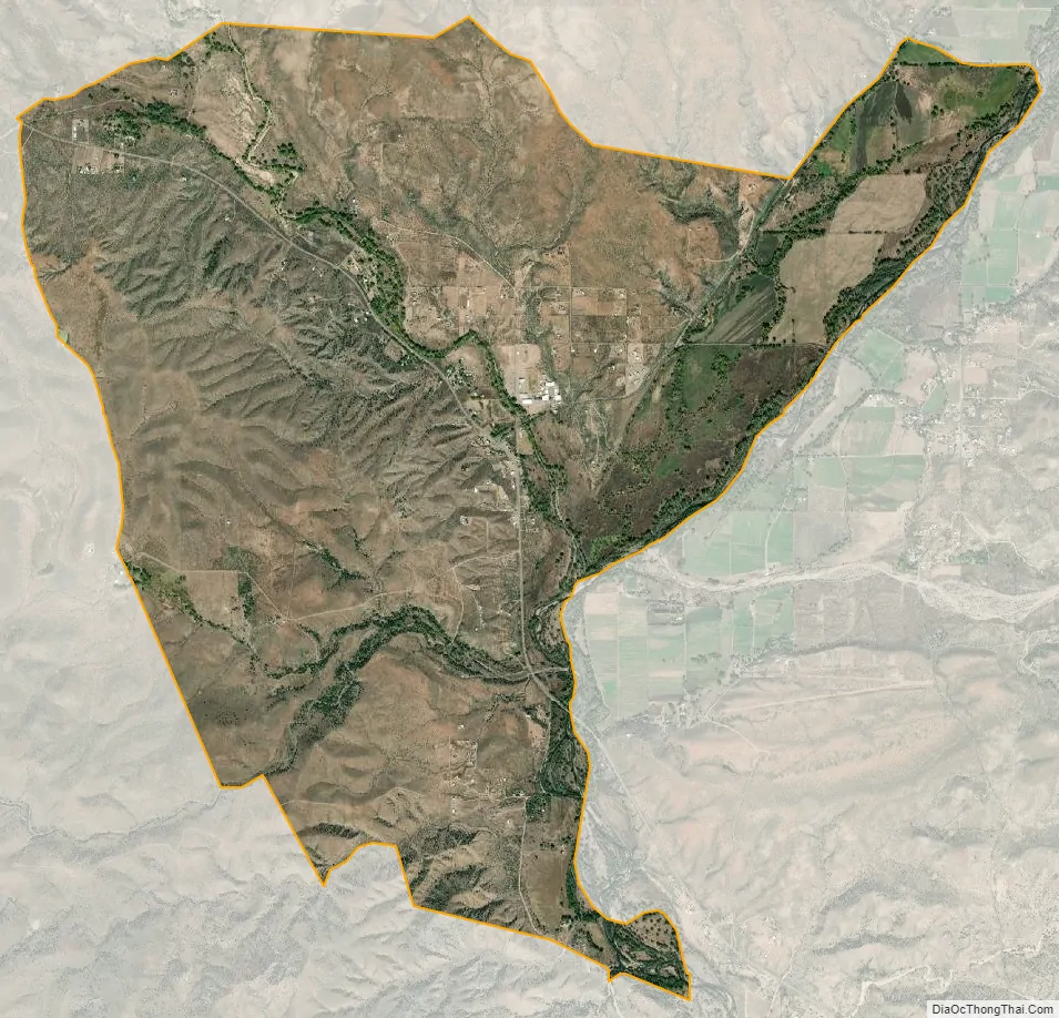
Cliff city Satellite Map
See also
Map of New Mexico State and its subdivision: Map of other states:- Alabama
- Alaska
- Arizona
- Arkansas
- California
- Colorado
- Connecticut
- Delaware
- District of Columbia
- Florida
- Georgia
- Hawaii
- Idaho
- Illinois
- Indiana
- Iowa
- Kansas
- Kentucky
- Louisiana
- Maine
- Maryland
- Massachusetts
- Michigan
- Minnesota
- Mississippi
- Missouri
- Montana
- Nebraska
- Nevada
- New Hampshire
- New Jersey
- New Mexico
- New York
- North Carolina
- North Dakota
- Ohio
- Oklahoma
- Oregon
- Pennsylvania
- Rhode Island
- South Carolina
- South Dakota
- Tennessee
- Texas
- Utah
- Vermont
- Virginia
- Washington
- West Virginia
- Wisconsin
- Wyoming