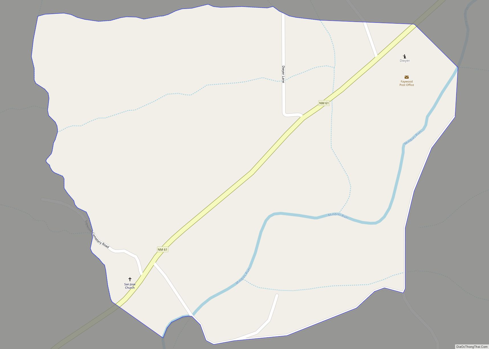
Faywood is a census-designated place in Grant County, New Mexico, United States. Its population was 33 as of the 2010 census. Faywood has a post office with ZIP code 88034. It is located 3 miles (4.8 km) north of US 180 on NM 61.
| Name: | Faywood CDP |
|---|---|
| LSAD Code: | 57 |
| LSAD Description: | CDP (suffix) |
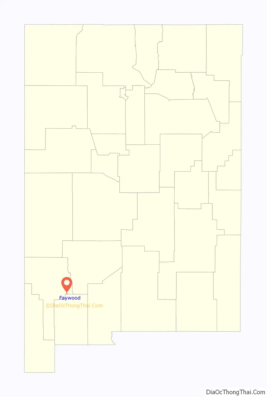
| State: | New Mexico |
| County: | Grant County |
| Elevation: | 5,216 ft (1,590 m) |
| Total Area: | 0.53 sq mi (1.36 km²) |
| Land Area: | 0.53 sq mi (1.36 km²) |
| Water Area: | 0.00 sq mi (0.00 km²) |
| Total Population: | 33 |
| Population Density: | 62.74/sq mi (24.24/km²) |
| ZIP code: | 88034 |
| Area code: | 575 |
| FIPS code: | 3525870 |
| GNISfeature ID: | 2584099 |
Online Interactive Map
Click on ![]() to view map in "full screen" mode.
to view map in "full screen" mode.
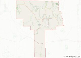
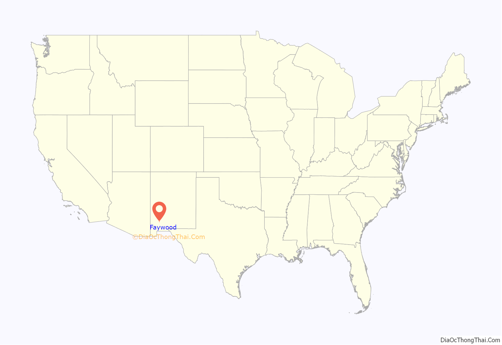
Faywood location map. Where is Faywood CDP?
History
The area was the site of hot springs which drew visitors from 1859, when a hotel and bath house was built by William Watts. By 1900, the Faywood settlement was created and named for the developers of the Faywood Hot Springs, J.C. Fay, William Lockwood. A third developer was T.C. McDermott. The post office was moved northeast to Dwyer, but is still named the Faywood Post Office.
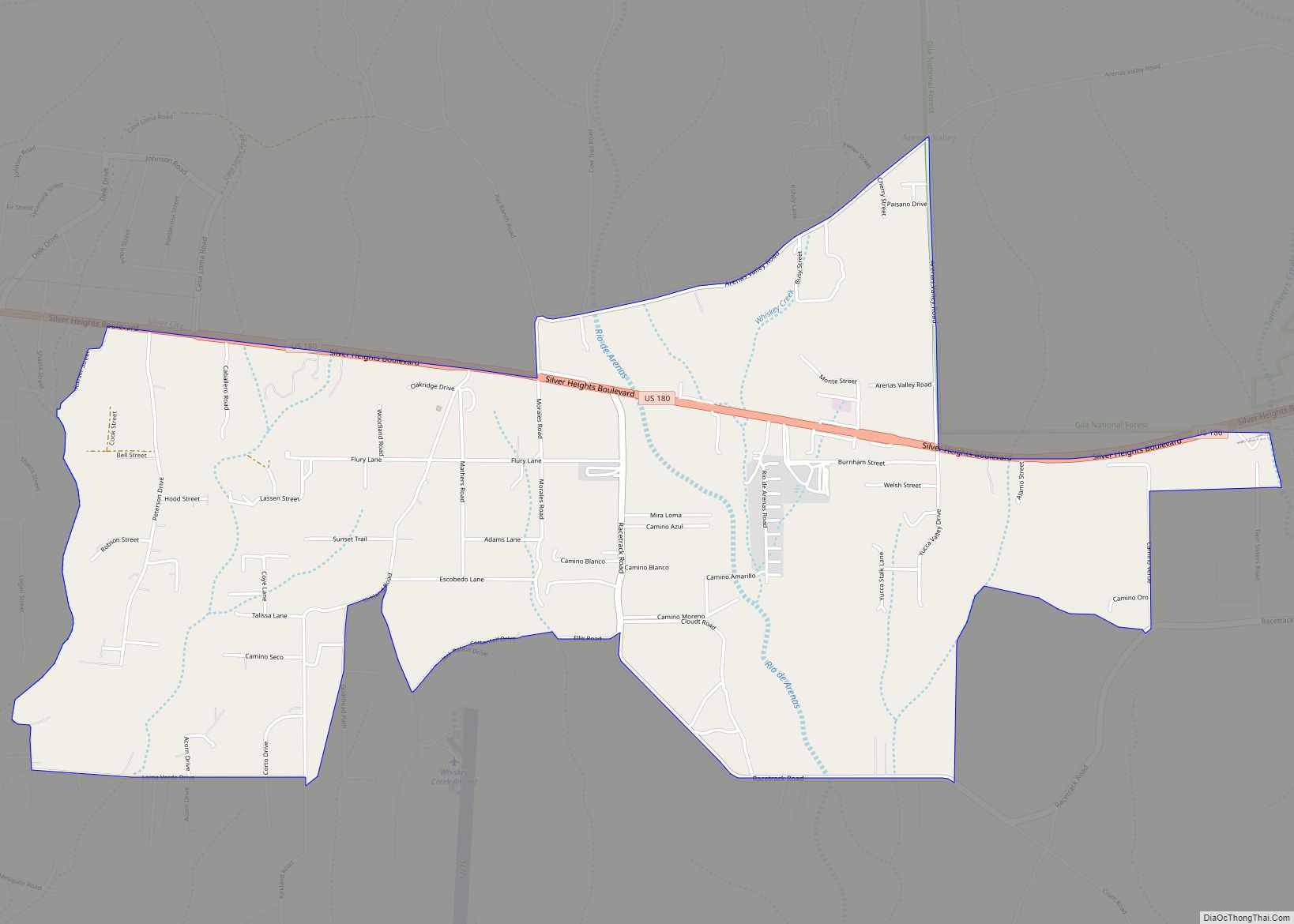
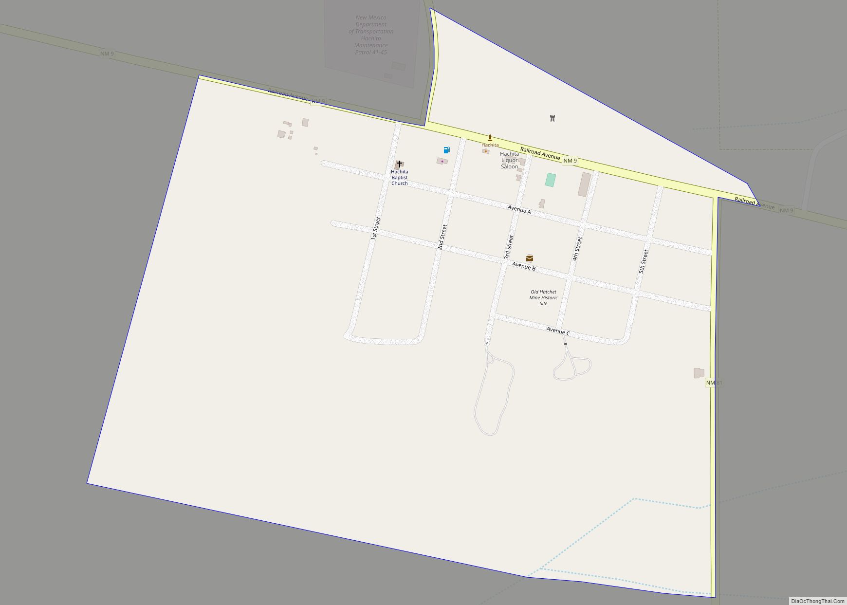
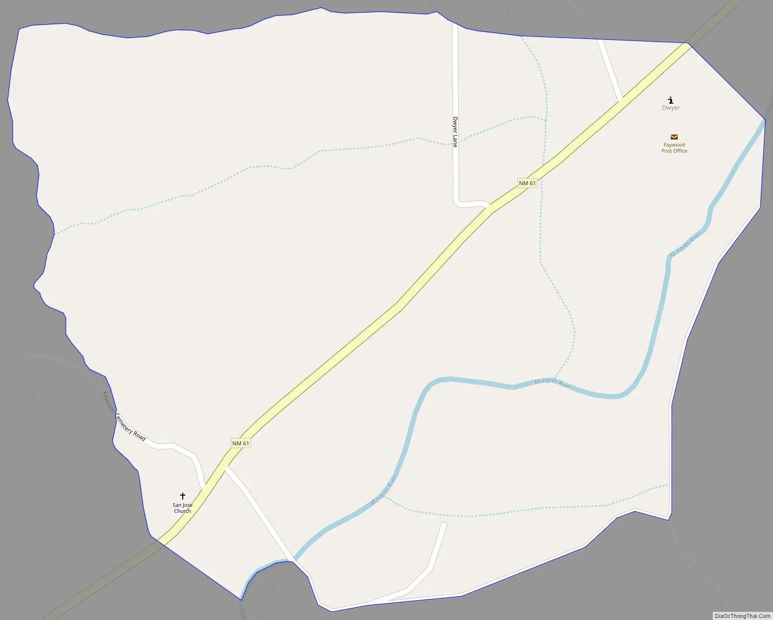
Faywood Road Map
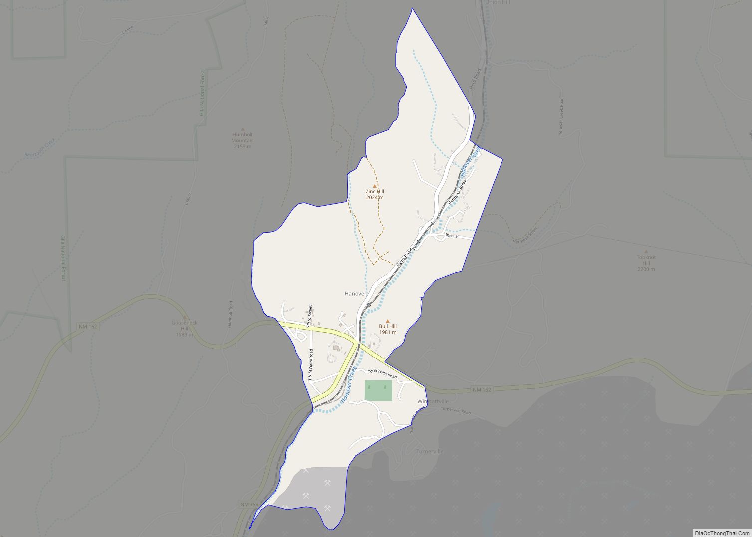
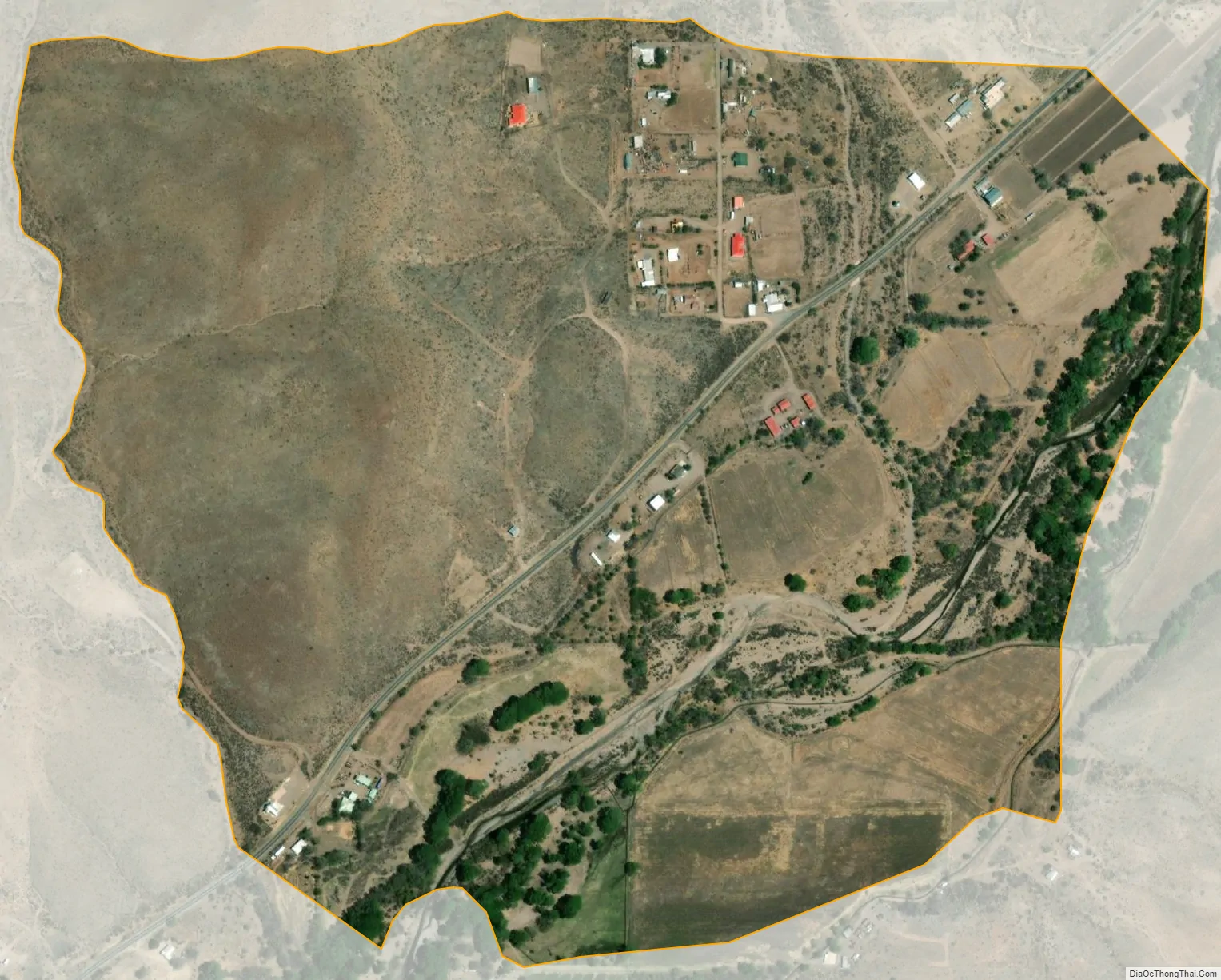
Faywood city Satellite Map
See also
Map of New Mexico State and its subdivision: Map of other states:- Alabama
- Alaska
- Arizona
- Arkansas
- California
- Colorado
- Connecticut
- Delaware
- District of Columbia
- Florida
- Georgia
- Hawaii
- Idaho
- Illinois
- Indiana
- Iowa
- Kansas
- Kentucky
- Louisiana
- Maine
- Maryland
- Massachusetts
- Michigan
- Minnesota
- Mississippi
- Missouri
- Montana
- Nebraska
- Nevada
- New Hampshire
- New Jersey
- New Mexico
- New York
- North Carolina
- North Dakota
- Ohio
- Oklahoma
- Oregon
- Pennsylvania
- Rhode Island
- South Carolina
- South Dakota
- Tennessee
- Texas
- Utah
- Vermont
- Virginia
- Washington
- West Virginia
- Wisconsin
- Wyoming