Hanover is a census-designated place in Grant County, New Mexico, United States. Its population was 167 as of the 2010 census. Hanover has a post office with ZIP code 88041. New Mexico State Road 152 and New Mexico State Road 356 pass through the community. The town was named after the local Hanover Mines. Sofio Henkel, one of the original settlers, came from Hanover, Germany, in 1841 and mined until 1843, when he was driven away by Apaches.
| Name: | Hanover CDP |
|---|---|
| LSAD Code: | 57 |
| LSAD Description: | CDP (suffix) |
| State: | New Mexico |
| County: | Grant County |
| Elevation: | 6,368 ft (1,941 m) |
| Total Area: | 1.40 sq mi (3.62 km²) |
| Land Area: | 1.40 sq mi (3.62 km²) |
| Water Area: | 0.00 sq mi (0.00 km²) |
| Total Population: | 144 |
| Population Density: | 103.08/sq mi (39.79/km²) |
| ZIP code: | 88041 |
| Area code: | 575 |
| FIPS code: | 3531540 |
| GNISfeature ID: | 906824 |
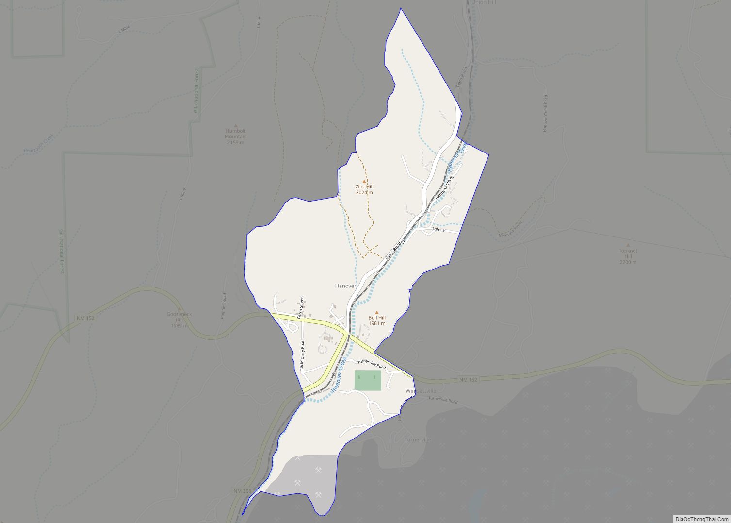
Online Interactive Map
Click on ![]() to view map in "full screen" mode.
to view map in "full screen" mode.
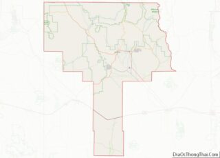
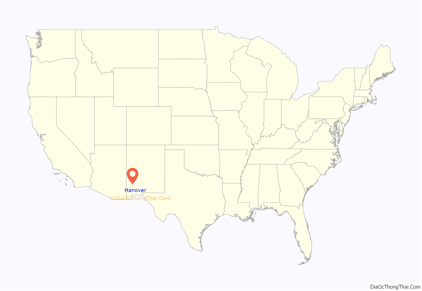
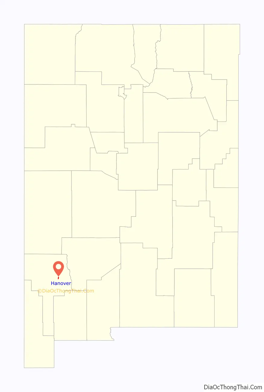
Hanover location map. Where is Hanover CDP?
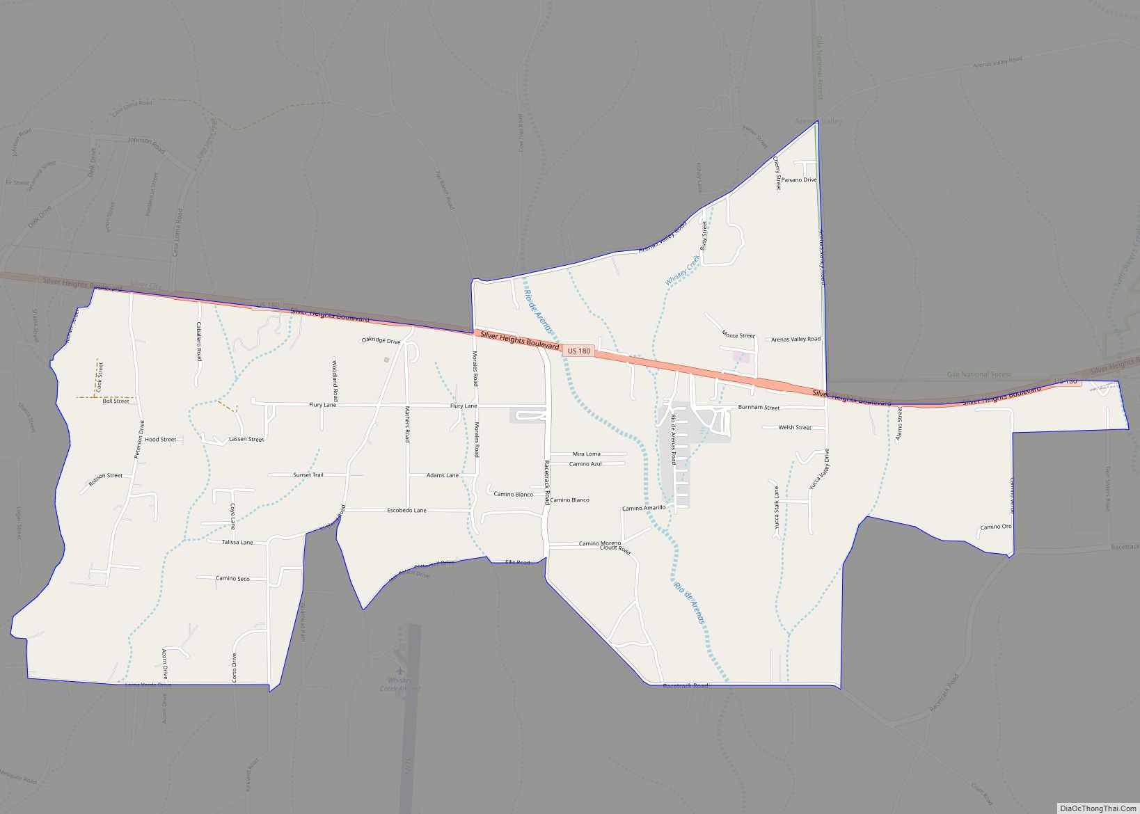
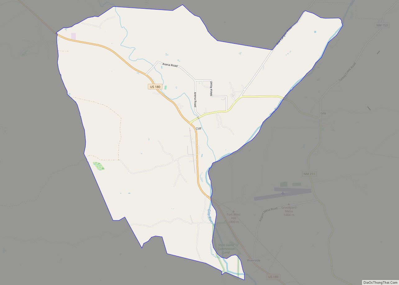
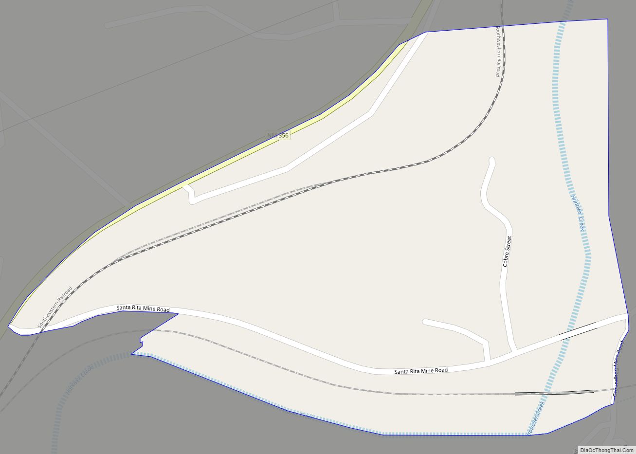
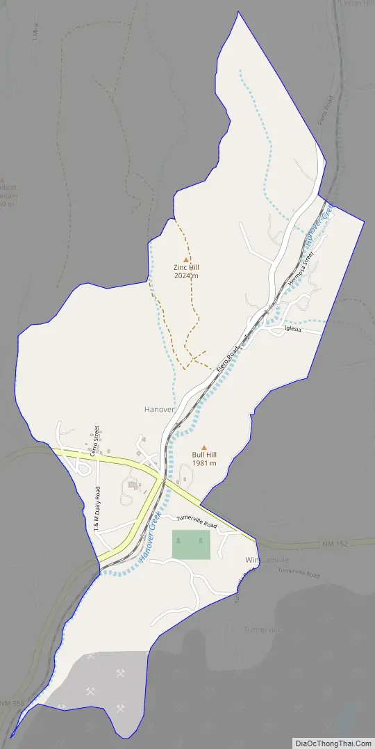
Hanover Road Map
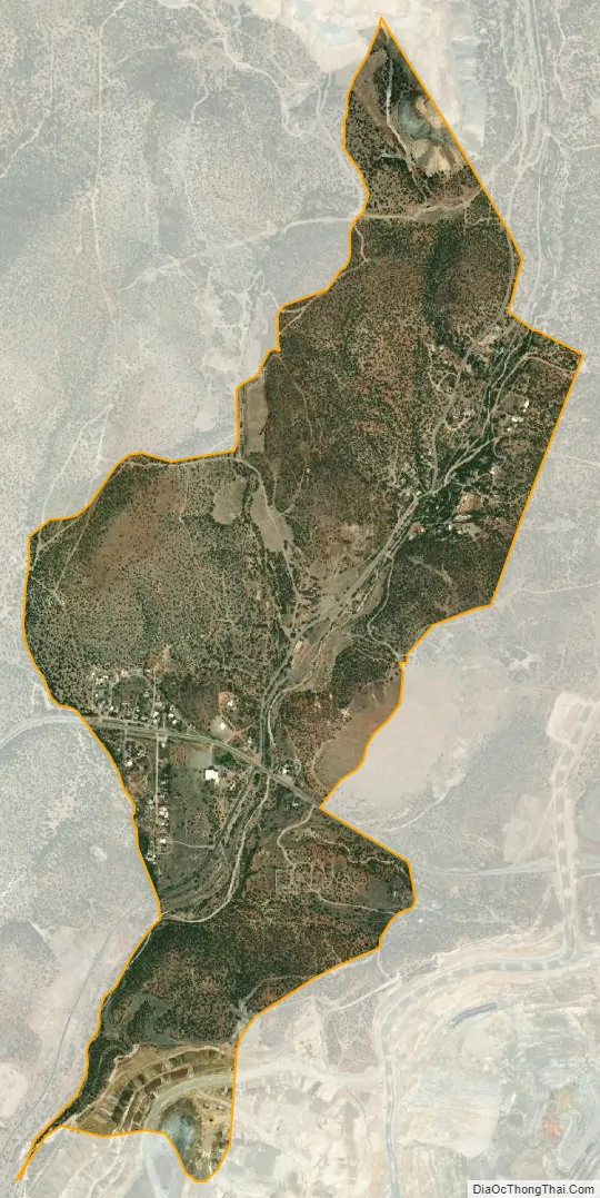
Hanover city Satellite Map
See also
Map of New Mexico State and its subdivision: Map of other states:- Alabama
- Alaska
- Arizona
- Arkansas
- California
- Colorado
- Connecticut
- Delaware
- District of Columbia
- Florida
- Georgia
- Hawaii
- Idaho
- Illinois
- Indiana
- Iowa
- Kansas
- Kentucky
- Louisiana
- Maine
- Maryland
- Massachusetts
- Michigan
- Minnesota
- Mississippi
- Missouri
- Montana
- Nebraska
- Nevada
- New Hampshire
- New Jersey
- New Mexico
- New York
- North Carolina
- North Dakota
- Ohio
- Oklahoma
- Oregon
- Pennsylvania
- Rhode Island
- South Carolina
- South Dakota
- Tennessee
- Texas
- Utah
- Vermont
- Virginia
- Washington
- West Virginia
- Wisconsin
- Wyoming