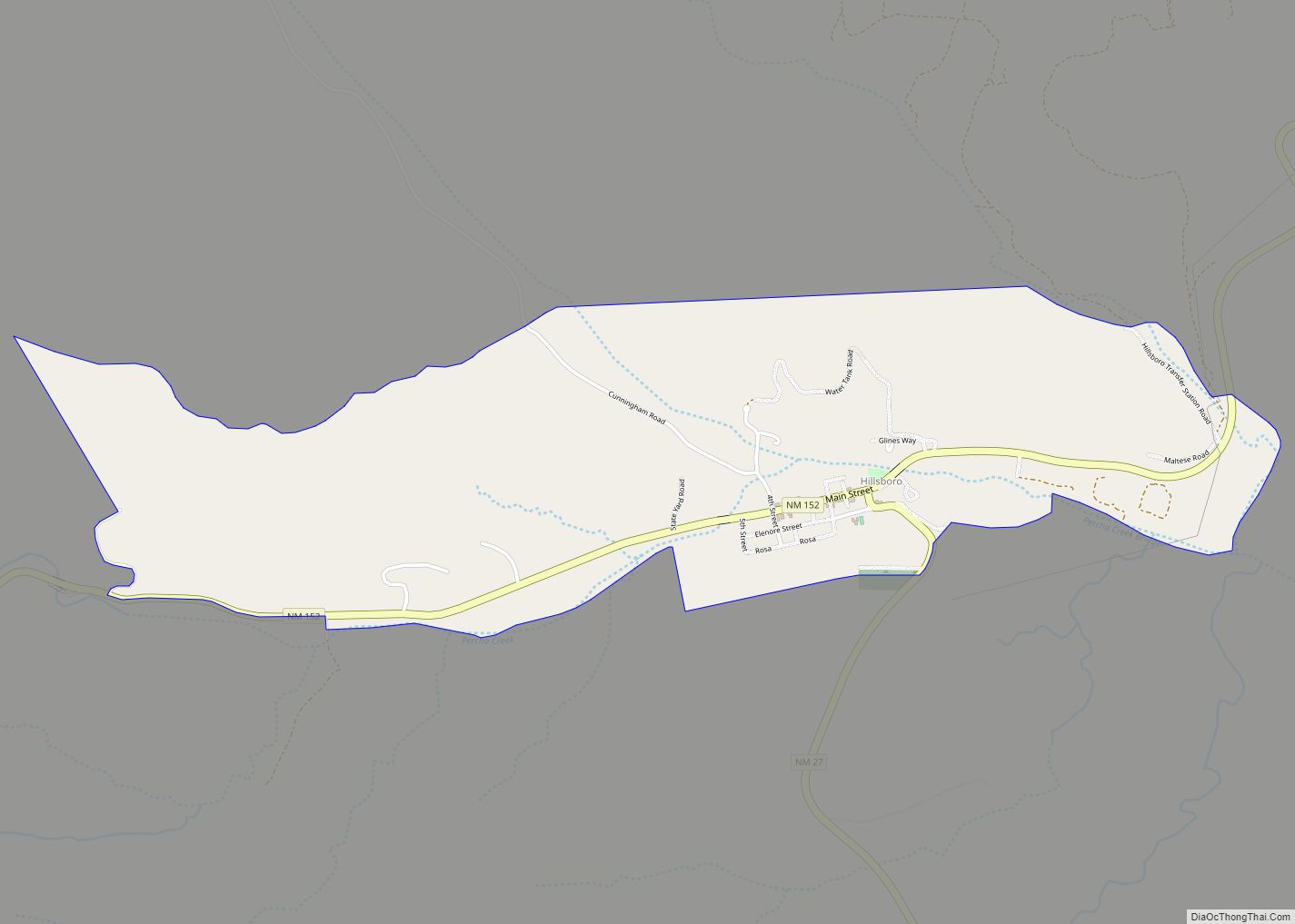
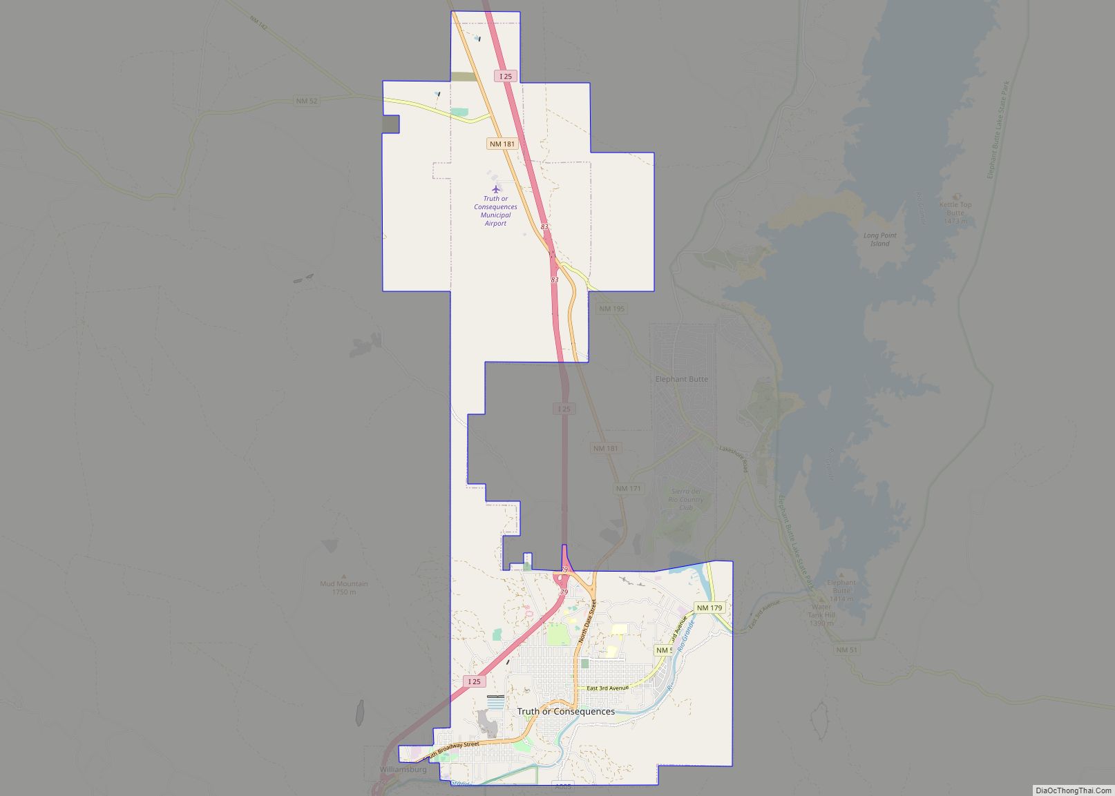
Hillsboro is an unincorporated community in Sierra County, New Mexico, United States, located in the southwestern part of the state. It was founded in 1877, following the discovery of gold. The community was the county seat of Sierra County from 1884 until 1936, when Hot Springs (now called Truth or Consequences) became the county seat.
The town was named Hillsborough by prospectors in December 1877, but later shortened to Hillsboro. By 1880, the town had four companies of soldiers and 400 miners, but the population soon grew to 700. A county courthouse was built in 1892. By 1907, the population was 1200. A flood on 10 June 1914 caused considerable damage to many town buildings. New Mexico State Road 152 and NM 27 intersect in and bisect the town.
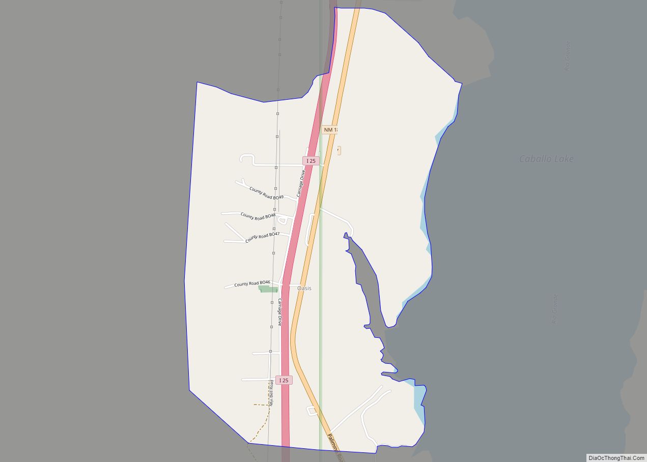
| Name: | Hillsboro CDP |
|---|---|
| LSAD Code: | 57 |
| LSAD Description: | CDP (suffix) |
| State: | New Mexico |
| County: | Sierra County |
| Total Area: | 2.13 sq mi (5.5 km²) |
| Total Population: | 124 |
| Population Density: | 58/sq mi (22/km²) |
| ZIP code: | 88042 |
| Area code: | 575 |
| FIPS code: | 3532380 |
Online Interactive Map
Click on ![]() to view map in "full screen" mode.
to view map in "full screen" mode.
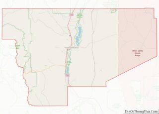
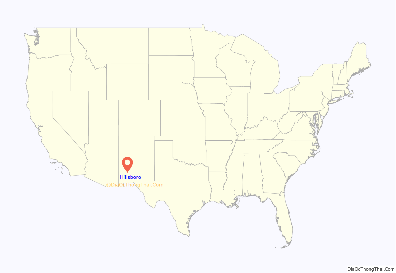
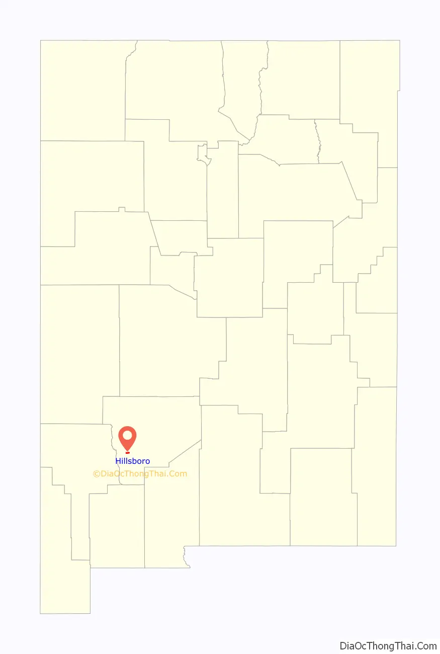
Hillsboro location map. Where is Hillsboro CDP?
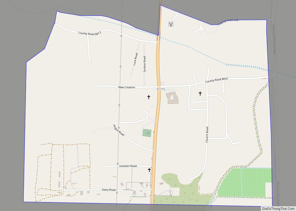
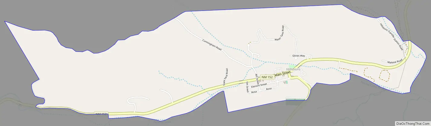
Hillsboro Road Map
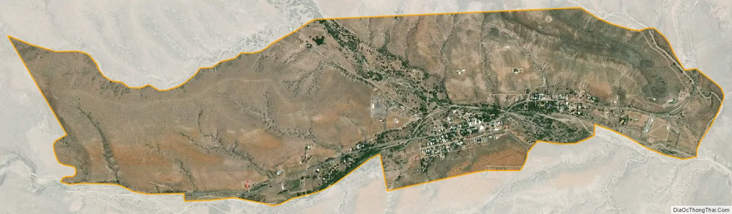
Hillsboro city Satellite Map
See also
Map of New Mexico State and its subdivision: Map of other states:- Alabama
- Alaska
- Arizona
- Arkansas
- California
- Colorado
- Connecticut
- Delaware
- District of Columbia
- Florida
- Georgia
- Hawaii
- Idaho
- Illinois
- Indiana
- Iowa
- Kansas
- Kentucky
- Louisiana
- Maine
- Maryland
- Massachusetts
- Michigan
- Minnesota
- Mississippi
- Missouri
- Montana
- Nebraska
- Nevada
- New Hampshire
- New Jersey
- New Mexico
- New York
- North Carolina
- North Dakota
- Ohio
- Oklahoma
- Oregon
- Pennsylvania
- Rhode Island
- South Carolina
- South Dakota
- Tennessee
- Texas
- Utah
- Vermont
- Virginia
- Washington
- West Virginia
- Wisconsin
- Wyoming