Oasis is a census-designated place in Sierra County, New Mexico, United States. Its population was 149 as of the 2010 census.
| Name: | Oasis CDP |
|---|---|
| LSAD Code: | 57 |
| LSAD Description: | CDP (suffix) |
| State: | New Mexico |
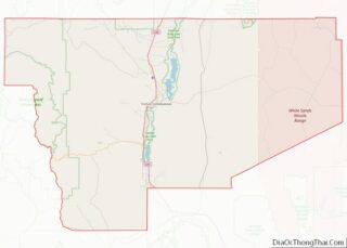
| County: | Sierra County |
| Elevation: | 4,258 ft (1,298 m) |
| Total Area: | 2.09 sq mi (5.41 km²) |
| Land Area: | 2.09 sq mi (5.41 km²) |
| Water Area: | 0.00 sq mi (0.00 km²) |
| Total Population: | 161 |
| Population Density: | 77.03/sq mi (29.75/km²) |
| Area code: | 575 |
| FIPS code: | 3553010 |
| GNISfeature ID: | 898828 |
Online Interactive Map
Click on ![]() to view map in "full screen" mode.
to view map in "full screen" mode.
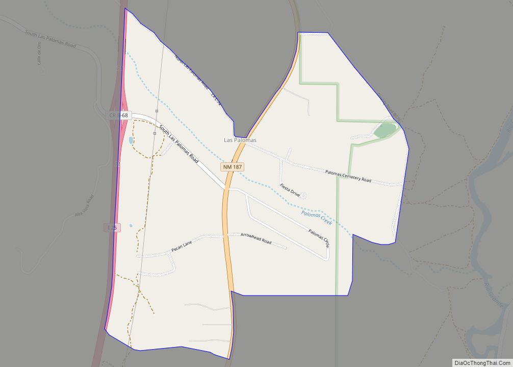
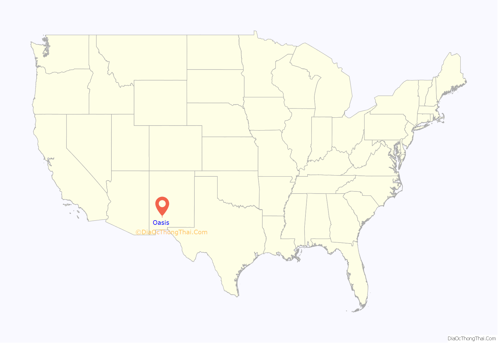
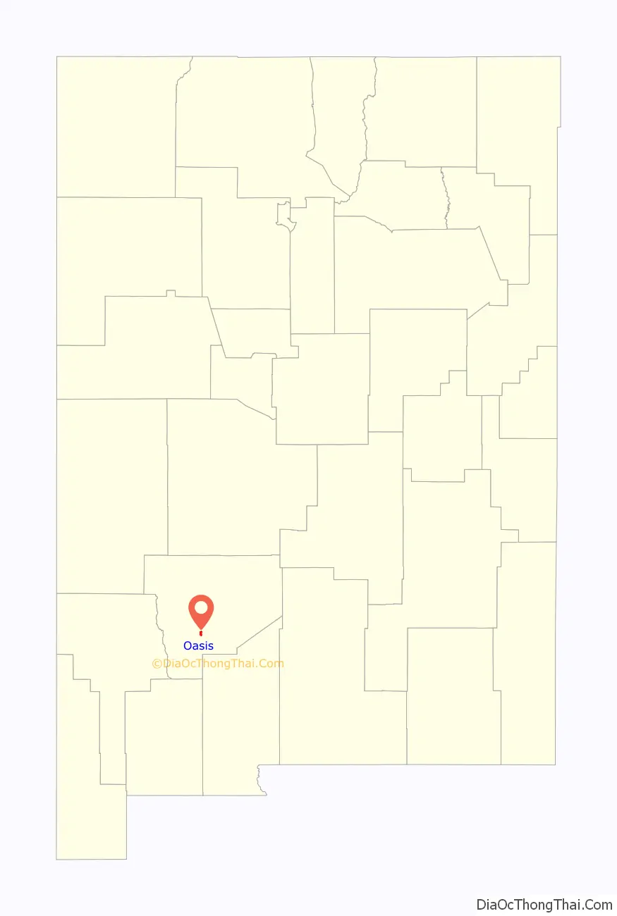
Oasis location map. Where is Oasis CDP?
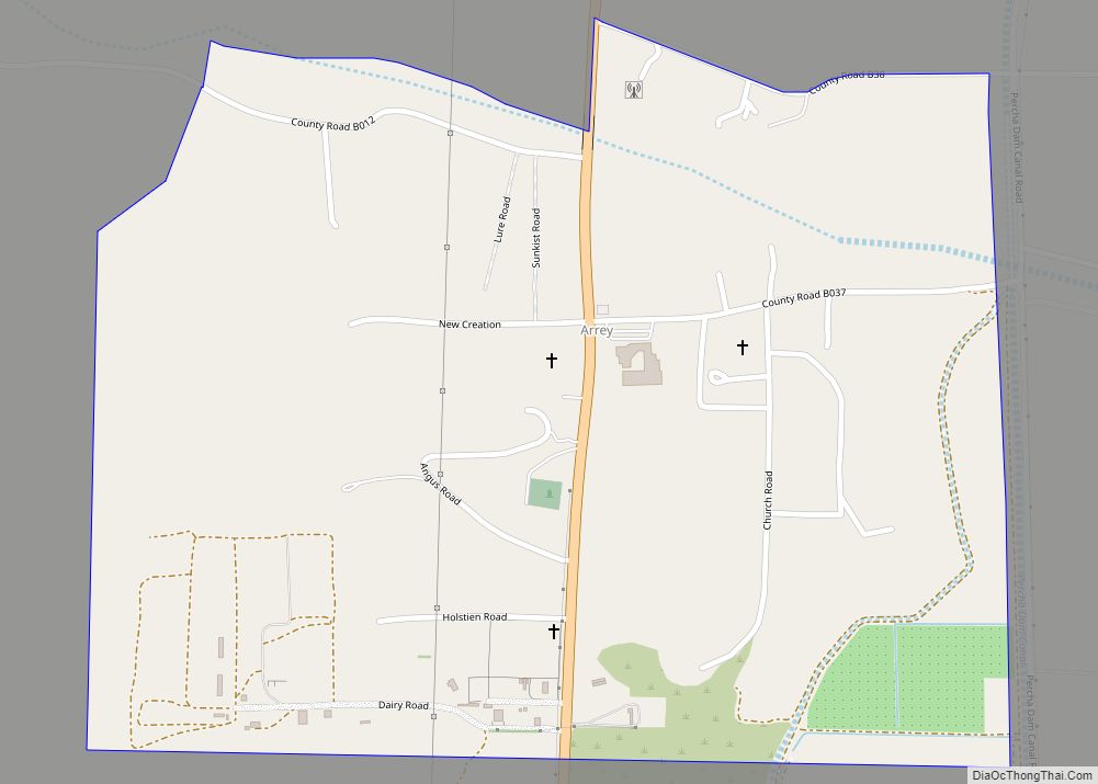
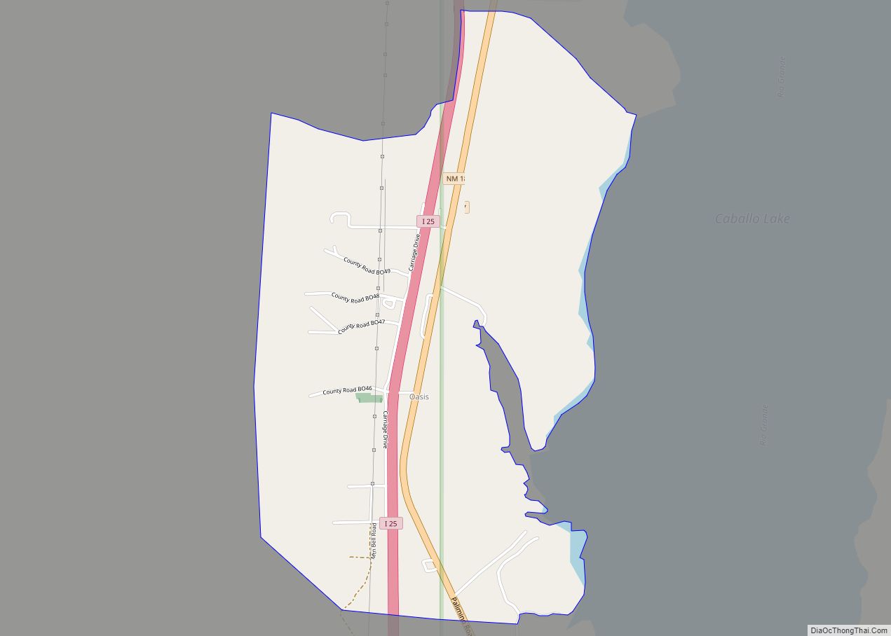
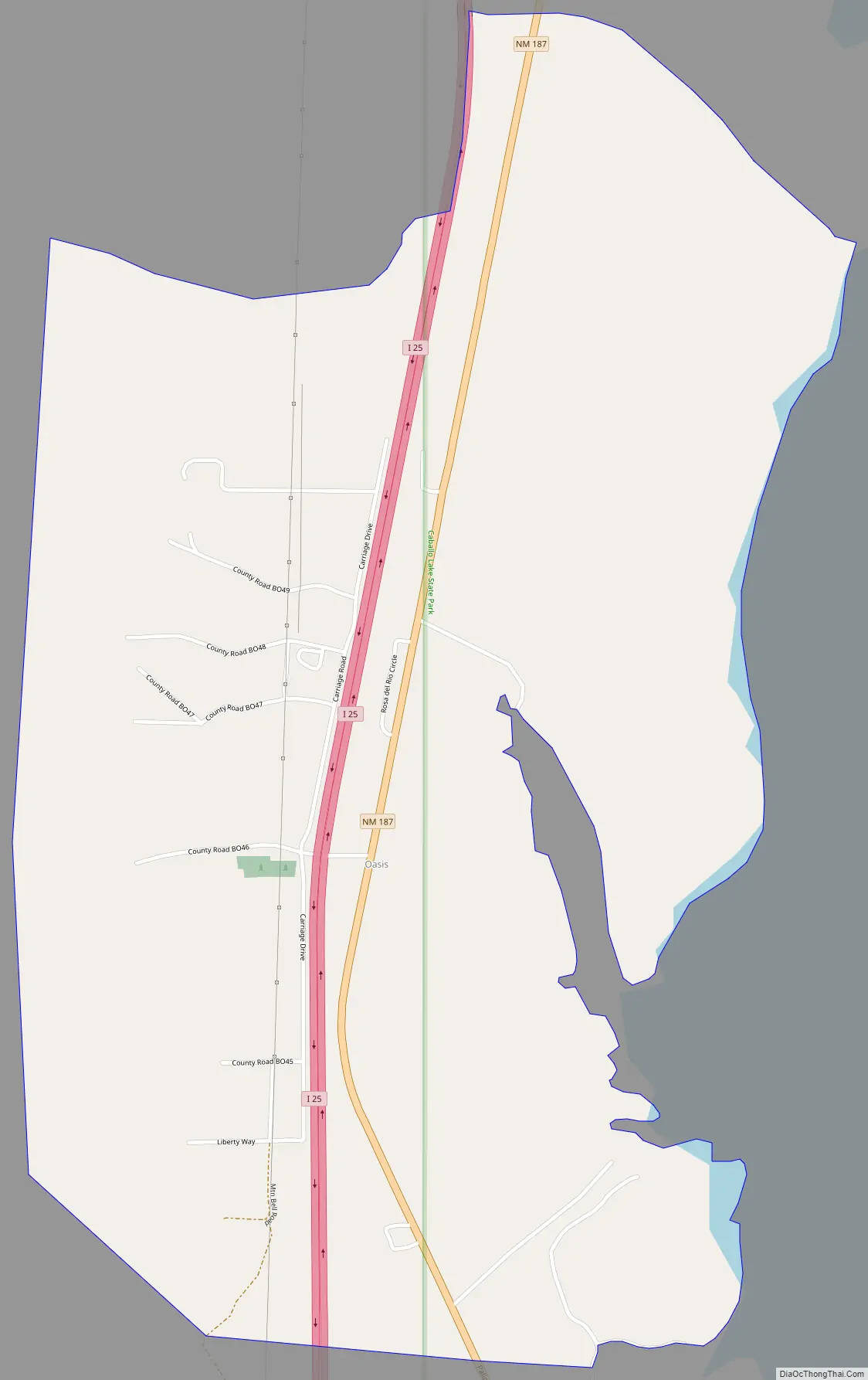
Oasis Road Map
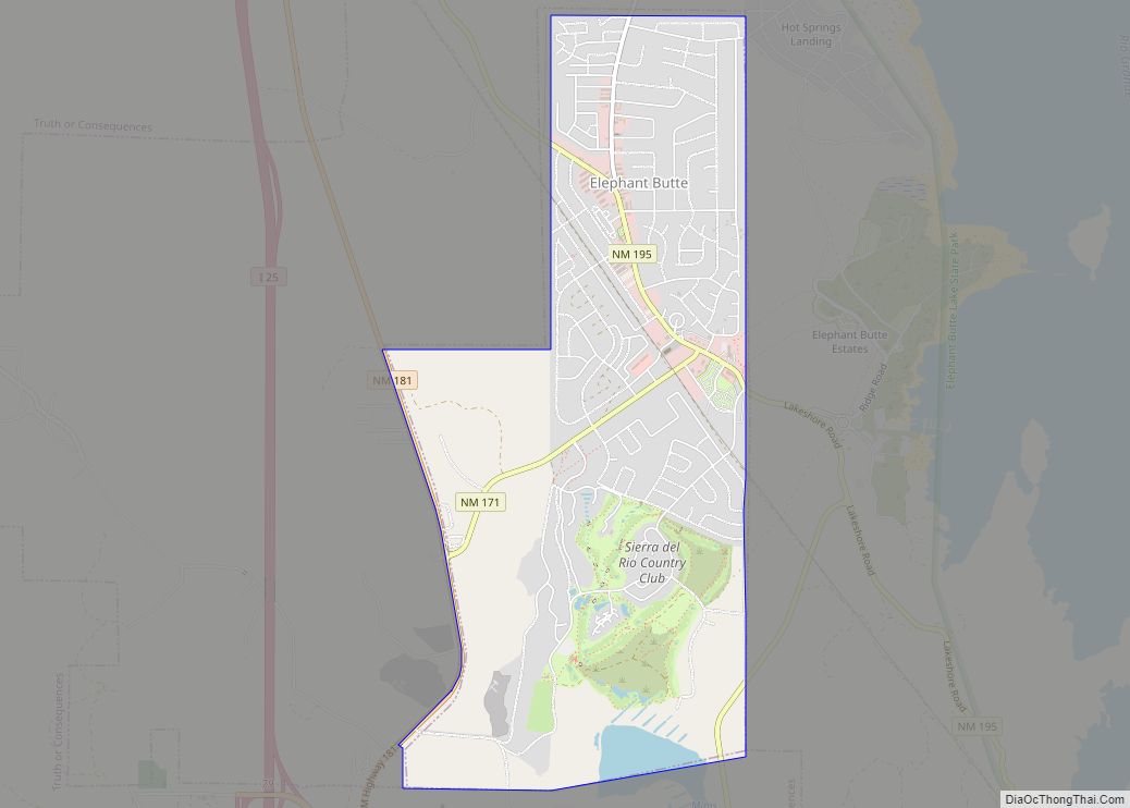
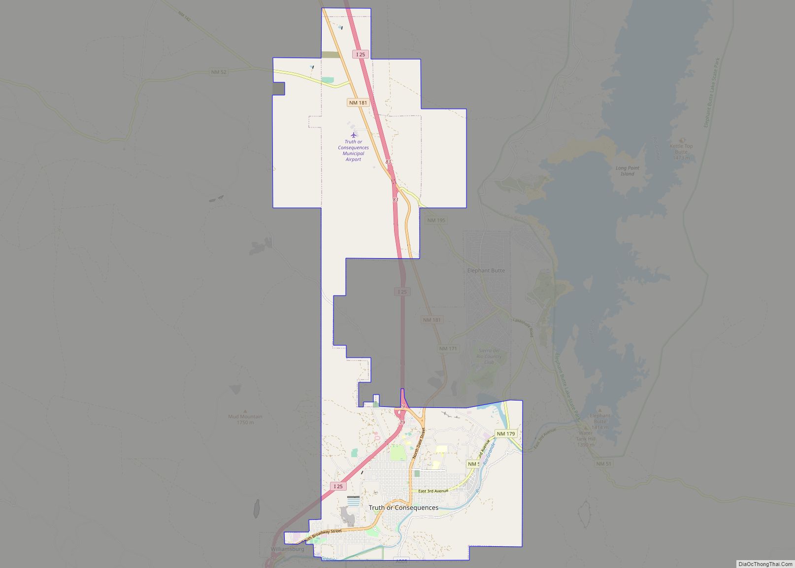
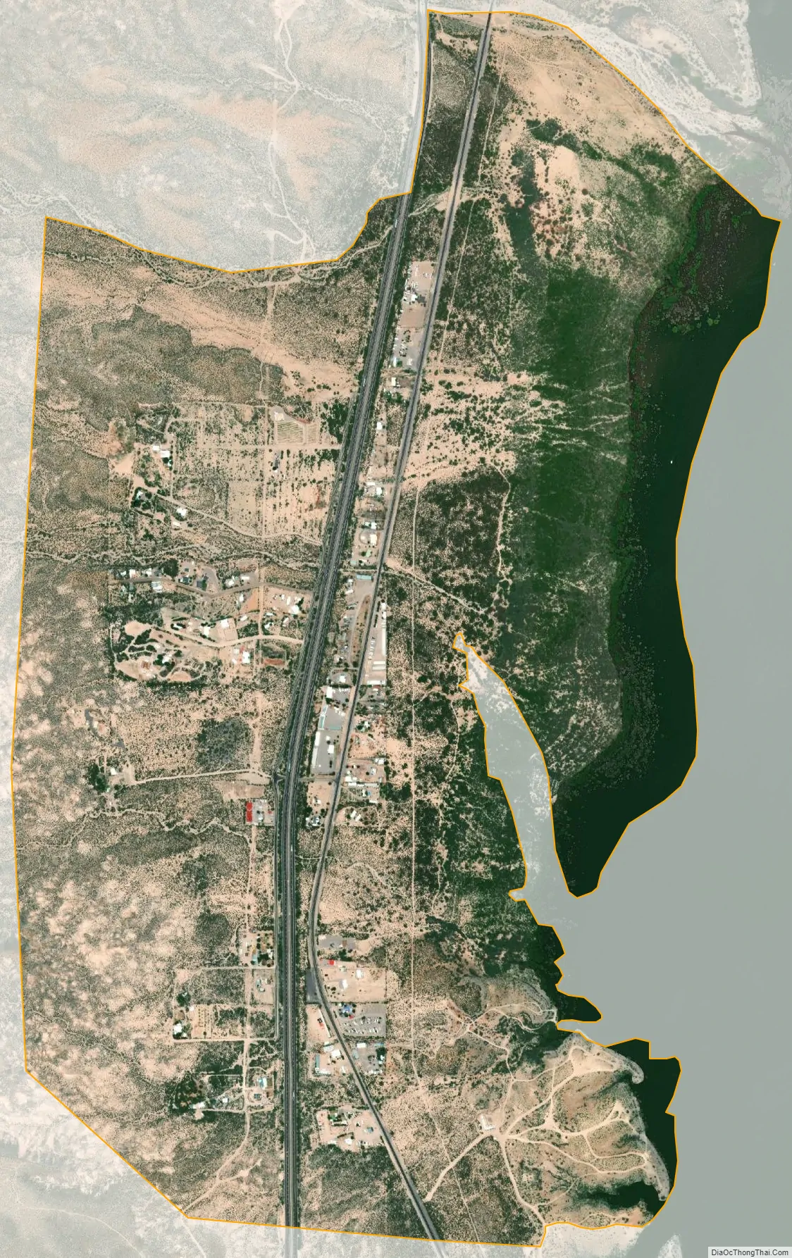
Oasis city Satellite Map
Geography
Oasis is located at 32°55′40″N 107°18′59″W / 32.927701°N 107.316417°W / 32.927701; -107.316417. According to the U.S. Census Bureau, the community has an area of 2.090 square miles (5.41 km), all land.
While Interstate 25 passes through the community, it does not have an exit; the community is approximately halfway between exits 59 and 63. New Mexico State Road 187 also passes through the community. Caballo Lake is located to the east of the community.
See also
Map of New Mexico State and its subdivision: Map of other states:- Alabama
- Alaska
- Arizona
- Arkansas
- California
- Colorado
- Connecticut
- Delaware
- District of Columbia
- Florida
- Georgia
- Hawaii
- Idaho
- Illinois
- Indiana
- Iowa
- Kansas
- Kentucky
- Louisiana
- Maine
- Maryland
- Massachusetts
- Michigan
- Minnesota
- Mississippi
- Missouri
- Montana
- Nebraska
- Nevada
- New Hampshire
- New Jersey
- New Mexico
- New York
- North Carolina
- North Dakota
- Ohio
- Oklahoma
- Oregon
- Pennsylvania
- Rhode Island
- South Carolina
- South Dakota
- Tennessee
- Texas
- Utah
- Vermont
- Virginia
- Washington
- West Virginia
- Wisconsin
- Wyoming