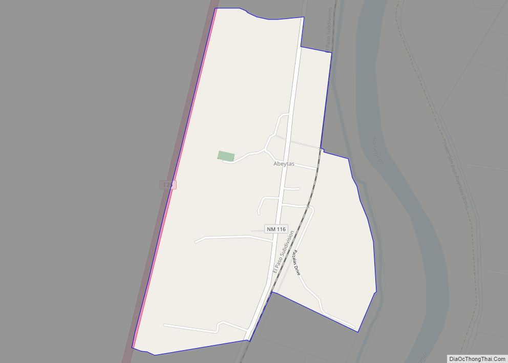
Polvadera (La Polvadera de San Lorenzo) is an unincorporated community and census-designated place in Socorro County in central New Mexico, United States. It is located on the west bank of the Rio Grande, near the mouth of the Rio Salado, and on the western spur of El Camino Real de Tierra Adentro.
| Name: | Polvadera CDP |
|---|---|
| LSAD Code: | 57 |
| LSAD Description: | CDP (suffix) |
| State: | New Mexico |
| County: | Socorro County |
| Elevation: | 4,662 ft (1,421 m) |
| Total Area: | 0.97 sq mi (2.51 km²) |
| Land Area: | 0.97 sq mi (2.51 km²) |
| Water Area: | 0.00 sq mi (0.00 km²) |
| Total Population: | 178 |
| Population Density: | 183.69/sq mi (70.90/km²) |
| ZIP code: | 87828 |
| Area code: | 575 |
| FIPS code: | 3558910 |
| GNISfeature ID: | 923651 |
Online Interactive Map
Click on ![]() to view map in "full screen" mode.
to view map in "full screen" mode.
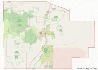
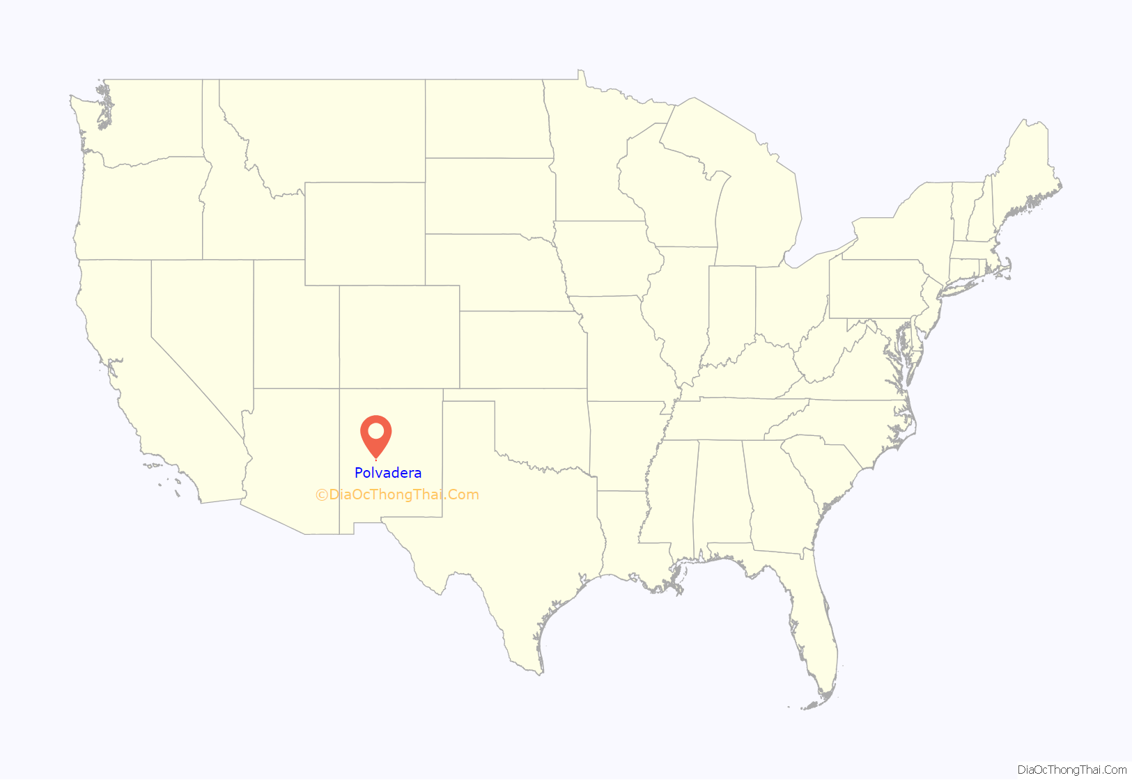
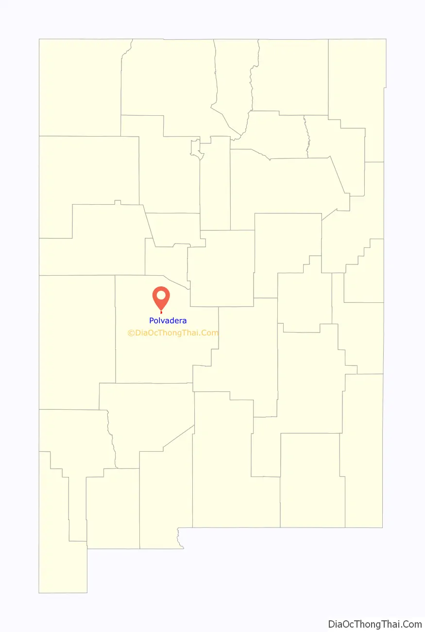
Polvadera location map. Where is Polvadera CDP?
History
Polvadera was founded as a farming community in the 1620s after Juan de Oñate had established the province of Santa Fe de Nuevo México, when Spanish settlers came north and settled among the Piro Pueblo Indians. The name of the original Piro pueblo there is unknown and its ruins, which may have been destroyed by the meandering of the Rio Grande, have not been excavated. In 1629 Apaches destroyed the pueblo of Polvareda. It was subsequently rebuilt, but was abandoned as a result of the Pueblo Revolt of 1680, and because of further Apache raiding after the reconquest was not resettled again until the early 19th century after Governor Fernando Chacón reopened the area for settlement.
Apache and Navajo raids continued until after the American Civil War when the US Army began a strenuous interdiction policy. The town was attacked as late as 1846 by over a hundred Navajo who made away with a large number of livestock.
Camp Connelly, sometimes called Fort Connelly, was established by Colonel Canby in 1862 adjacent to Polvadera, on land leased from the then governor Henry Connelly. Lt. William Brady was sent there as a recruiting officer to process volunteers. Camp Connelly was only maintained until the end of the civil war in 1865.
The Santa Fe Railroad came through in 1882 and the Post Office in Polvadero was established in 1895. The current church of San Lorenzo was built in 1898.
Polvadera has always been subject to the flooding of the Rio Grande. Major floods occurred in 1898, which destroyed the church, in 1929, and 1937. Formerly, the major diversion of Rio Grande water for irrigation in Socorro County occurred at Polvadera; however, after the floods of 1929 a new diversion was built upstream at San Acacia.
In 1958 when Interstate 25 was being built down the Rio Grande valley, Polvadera was not given an exit, the nearest exit provided was at Lemitar a few miles to the south.
Polvadera Road Map
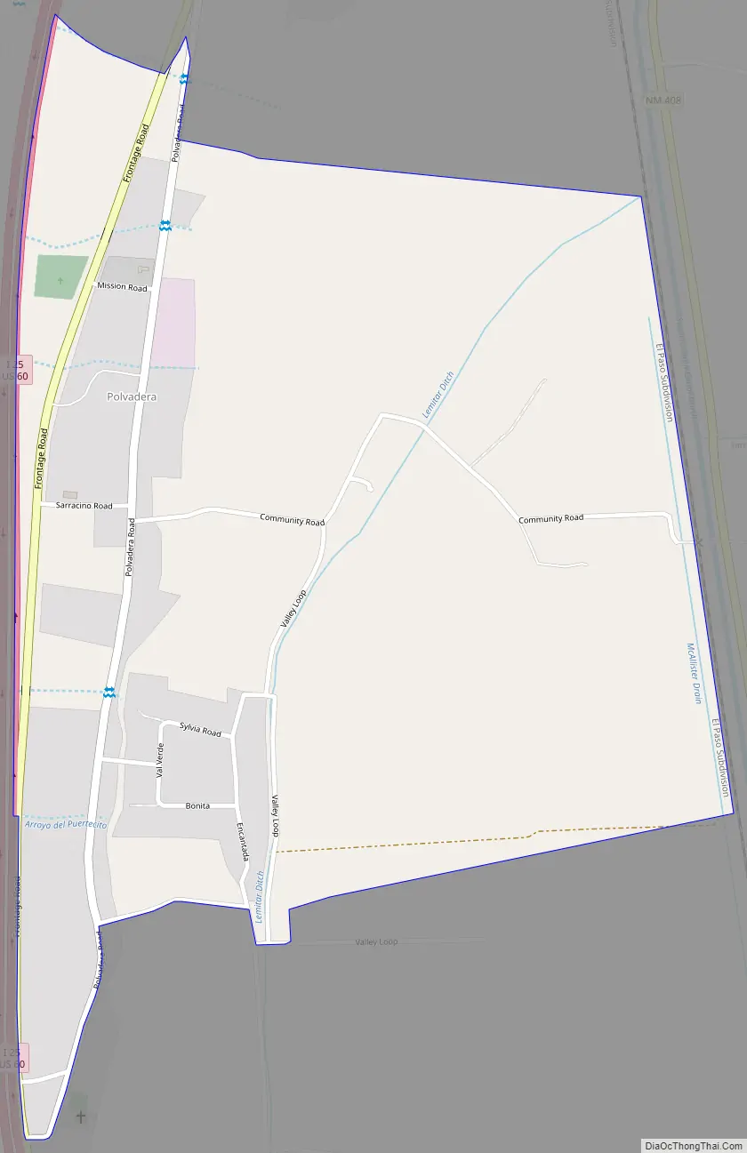
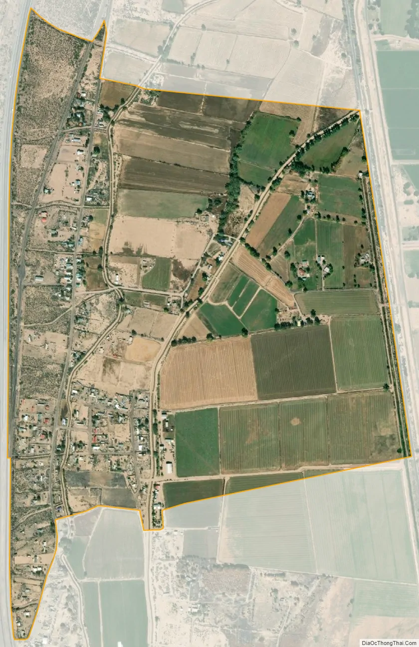
Polvadera city Satellite Map
See also
Map of New Mexico State and its subdivision: Map of other states:- Alabama
- Alaska
- Arizona
- Arkansas
- California
- Colorado
- Connecticut
- Delaware
- District of Columbia
- Florida
- Georgia
- Hawaii
- Idaho
- Illinois
- Indiana
- Iowa
- Kansas
- Kentucky
- Louisiana
- Maine
- Maryland
- Massachusetts
- Michigan
- Minnesota
- Mississippi
- Missouri
- Montana
- Nebraska
- Nevada
- New Hampshire
- New Jersey
- New Mexico
- New York
- North Carolina
- North Dakota
- Ohio
- Oklahoma
- Oregon
- Pennsylvania
- Rhode Island
- South Carolina
- South Dakota
- Tennessee
- Texas
- Utah
- Vermont
- Virginia
- Washington
- West Virginia
- Wisconsin
- Wyoming