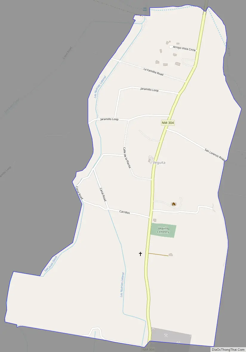
Veguita is a census-designated place in Socorro County, New Mexico, United States. Its population was 232 as of the 2010 census. Veguita has a post office with ZIP code 87062. New Mexico State Road 304 passes through the community. Veguita has two independent Christian churches, Chihuahua Bible Chapel, and Iglesia Evangelica “Camino De Fe”, which share facilities on Carlos Martinez Road. One community fixture is “Veguita Trading Post” which has a fueling station, and provides commodities. There also is the Mission Church of the Catholic Diocese. In 2015, the Veguita community welcomed KVNM-LP 101.1 FM, one of two low power FM Radio Stations in Socorro County. Veguita is the home of iDea Ministries, which is the owner-operator of KVNM-LP 101.1 FM, and produces “Jazz, Power, & The Glory!”.
| Name: | Veguita CDP |
|---|---|
| LSAD Code: | 57 |
| LSAD Description: | CDP (suffix) |
| State: | New Mexico |
| County: | Socorro County |
| Elevation: | 4,783 ft (1,458 m) |
| Total Area: | 0.84 sq mi (2.17 km²) |
| Land Area: | 0.84 sq mi (2.17 km²) |
| Water Area: | 0.00 sq mi (0.00 km²) |
| Total Population: | 219 |
| Population Density: | 261.96/sq mi (101.10/km²) |
| ZIP code: | 87062 |
| Area code: | 575 |
| FIPS code: | 3582640 |
| GNISfeature ID: | 923713 |
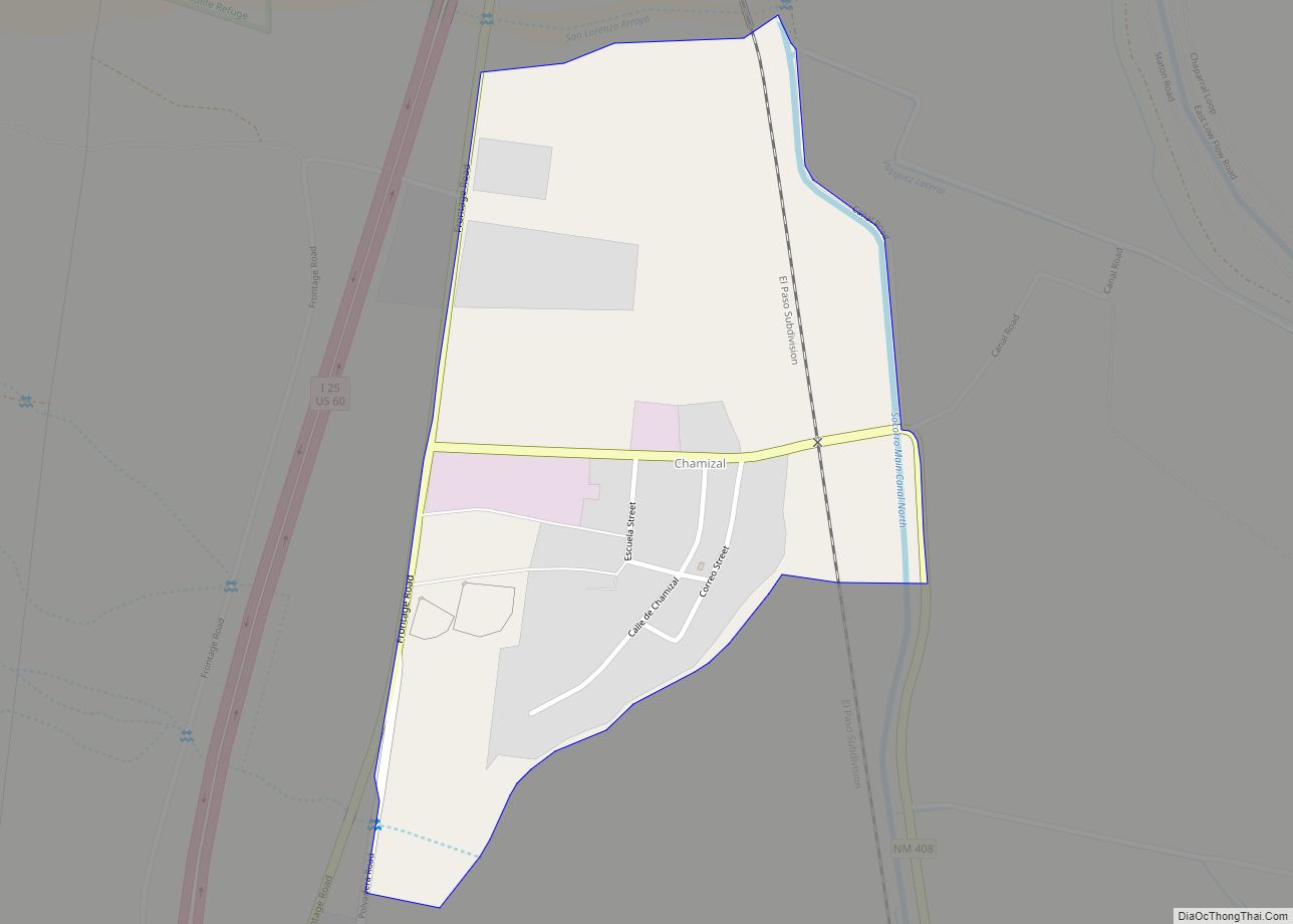
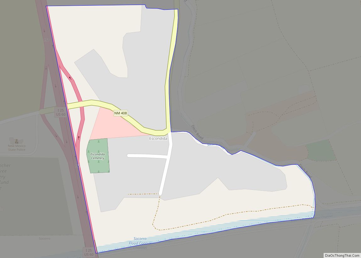
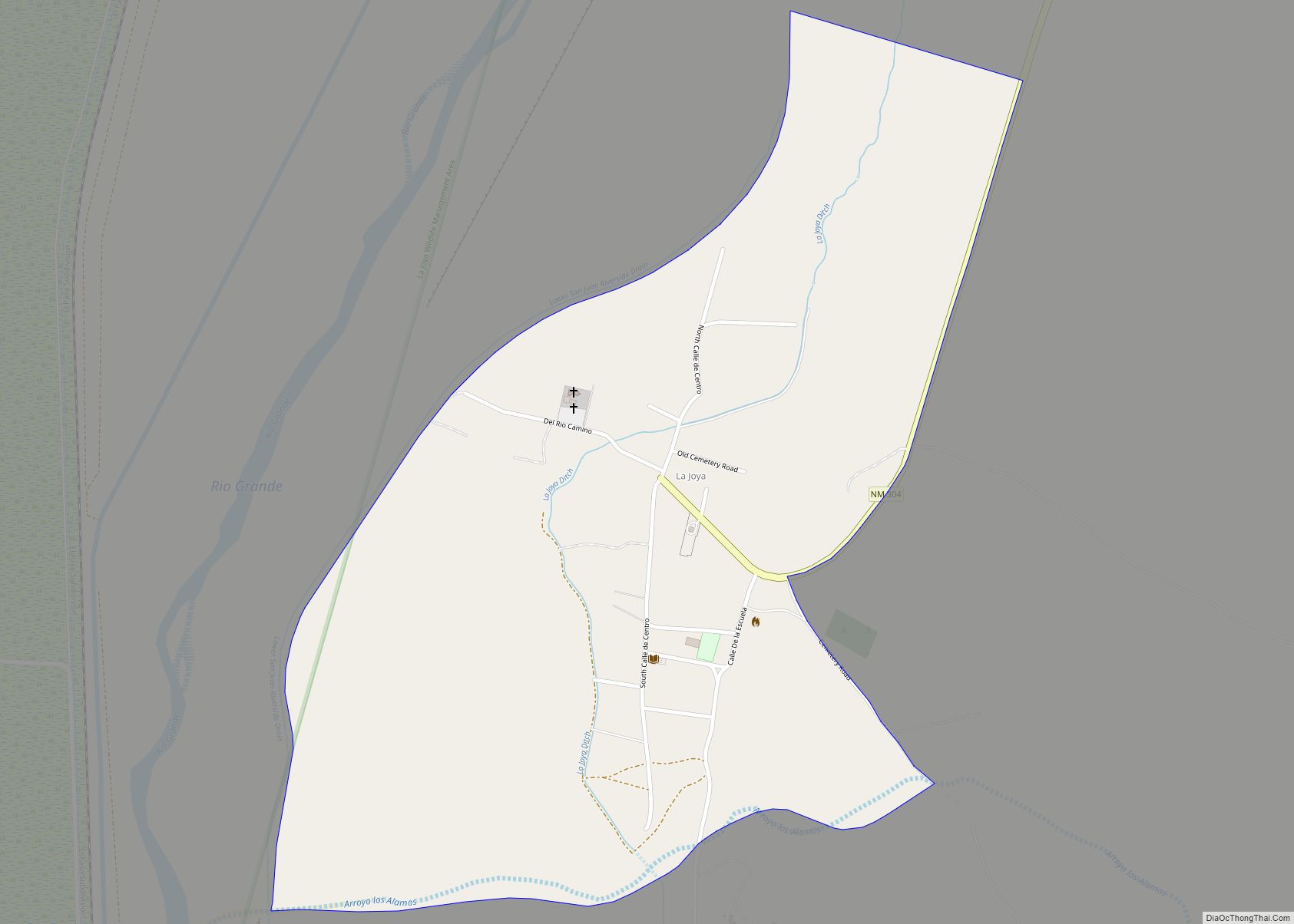
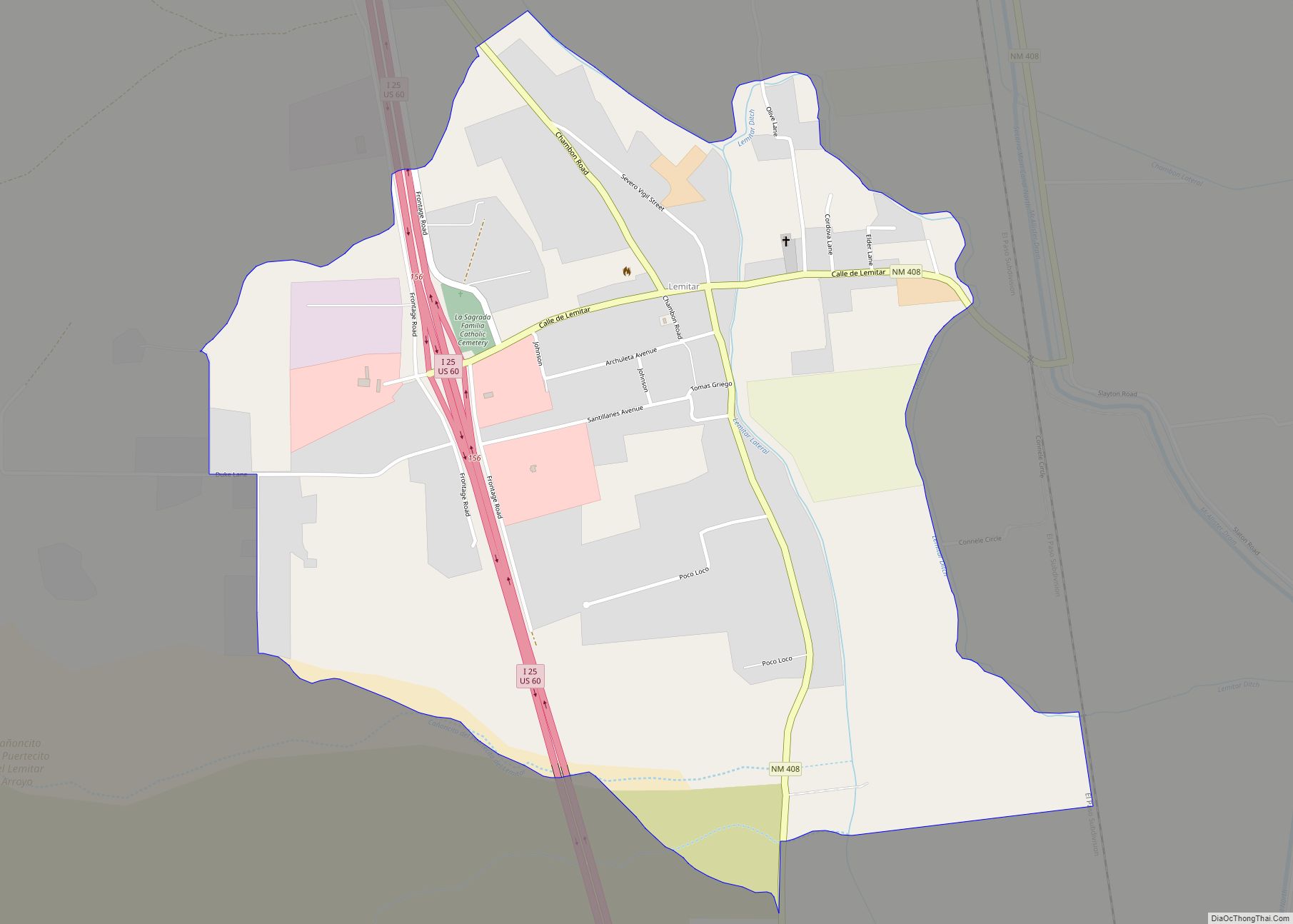
Online Interactive Map
Click on ![]() to view map in "full screen" mode.
to view map in "full screen" mode.
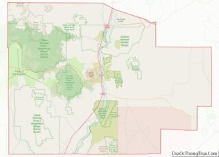
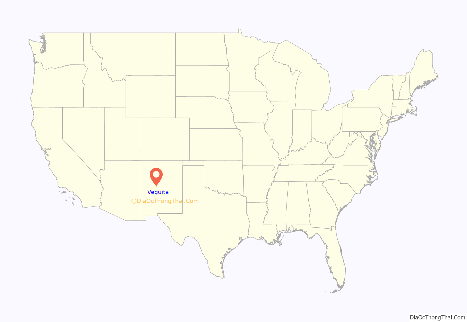
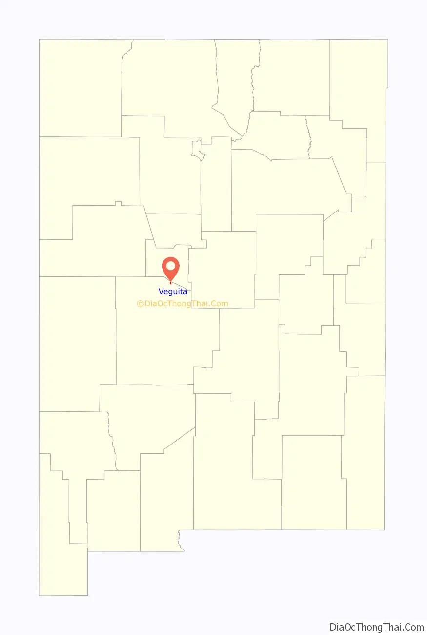
Veguita location map. Where is Veguita CDP?
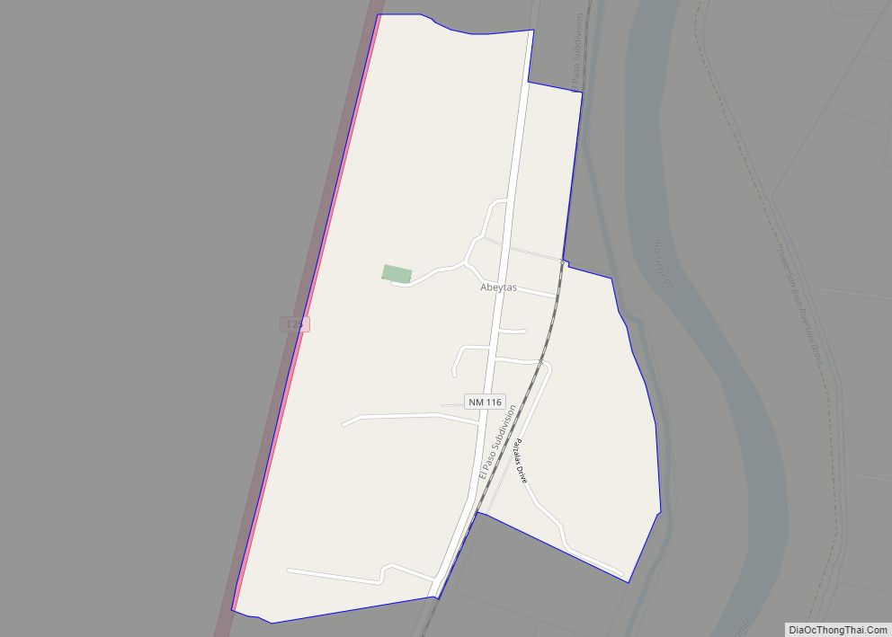
Veguita Road Map
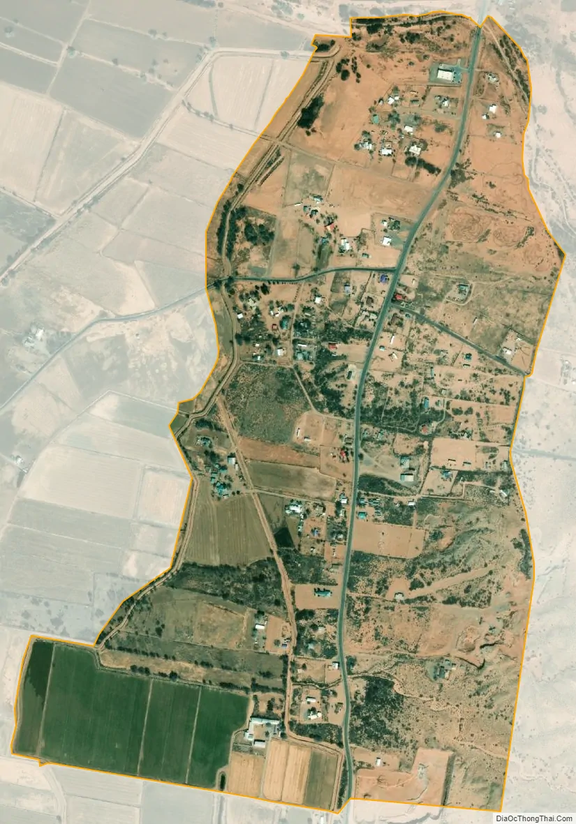
Veguita city Satellite Map
See also
Map of New Mexico State and its subdivision: Map of other states:- Alabama
- Alaska
- Arizona
- Arkansas
- California
- Colorado
- Connecticut
- Delaware
- District of Columbia
- Florida
- Georgia
- Hawaii
- Idaho
- Illinois
- Indiana
- Iowa
- Kansas
- Kentucky
- Louisiana
- Maine
- Maryland
- Massachusetts
- Michigan
- Minnesota
- Mississippi
- Missouri
- Montana
- Nebraska
- Nevada
- New Hampshire
- New Jersey
- New Mexico
- New York
- North Carolina
- North Dakota
- Ohio
- Oklahoma
- Oregon
- Pennsylvania
- Rhode Island
- South Carolina
- South Dakota
- Tennessee
- Texas
- Utah
- Vermont
- Virginia
- Washington
- West Virginia
- Wisconsin
- Wyoming