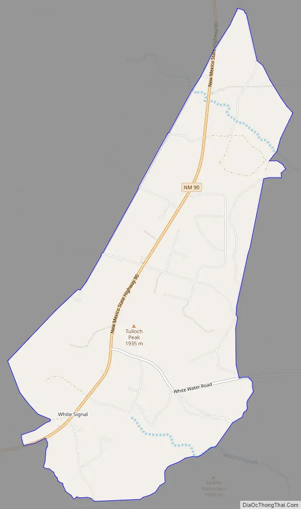
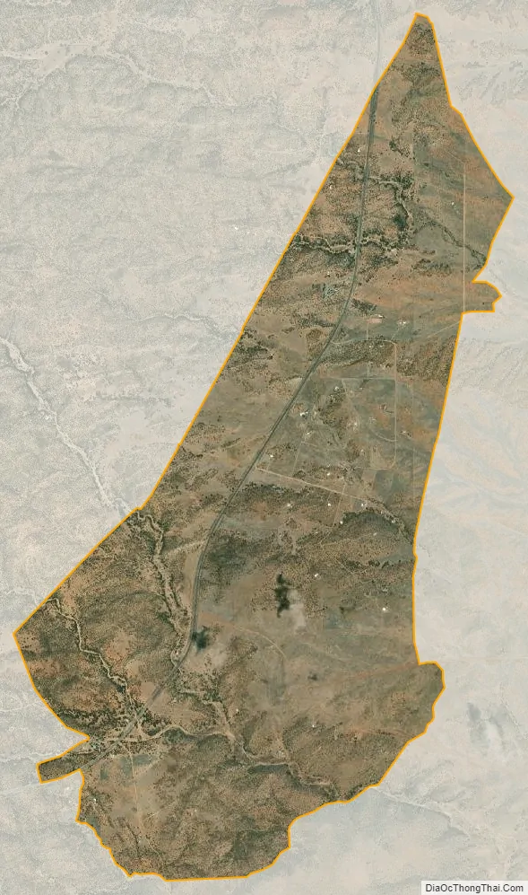
White Signal is a census-designated place in Grant County, New Mexico, United States. Its population was 181 as of the 2010 census. New Mexico State Road 90 passes through the community.
White Signal was named for a nearby outcropping of reflective white quartz; early residents thought the reflected sunlight resembled a signal. The community had a post office from 1909 to 1933.
| Name: | White Signal CDP |
|---|---|
| LSAD Code: | 57 |
| LSAD Description: | CDP (suffix) |
| State: | New Mexico |
| County: | Grant County |
| Elevation: | 5,978 ft (1,822 m) |
| Total Area: | 6.44 sq mi (16.68 km²) |
| Land Area: | 6.43 sq mi (16.66 km²) |
| Water Area: | 0.01 sq mi (0.02 km²) |
| Total Population: | 191 |
| Population Density: | 29.69/sq mi (11.46/km²) |
| Area code: | 575 |
| FIPS code: | 3584975 |
| GNISfeature ID: | 899990 |
Online Interactive Map
Click on ![]() to view map in "full screen" mode.
to view map in "full screen" mode.
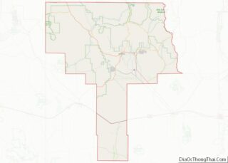
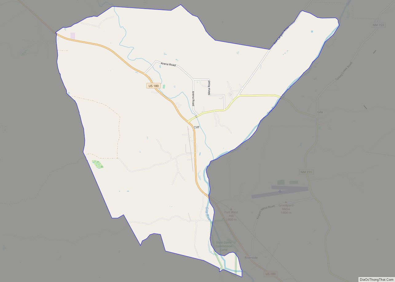
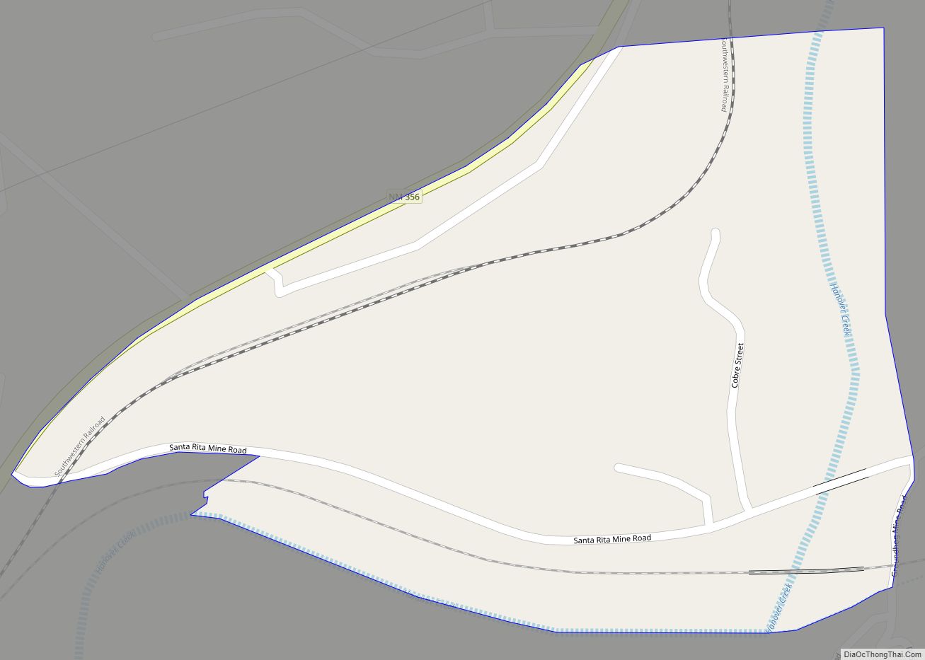
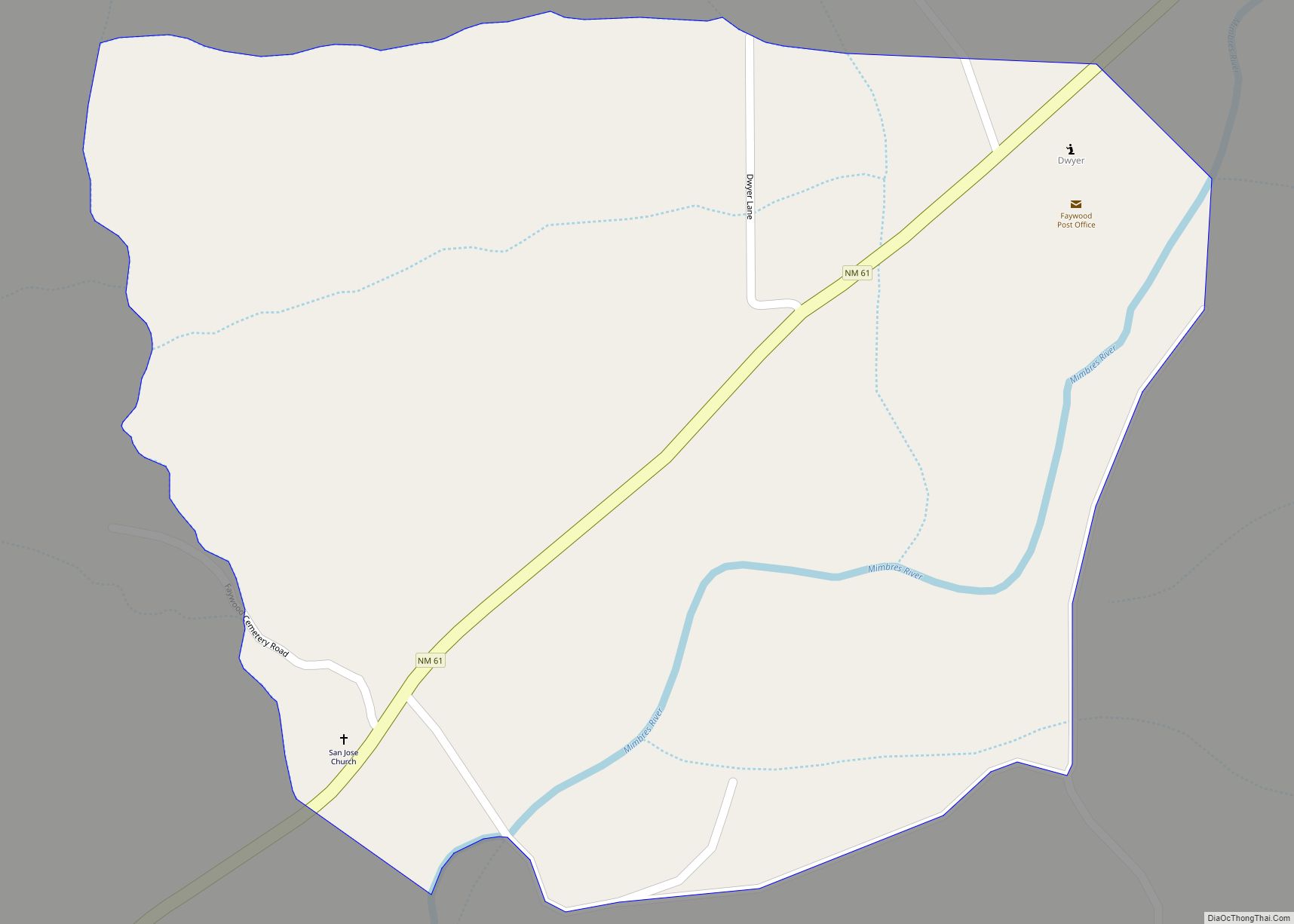
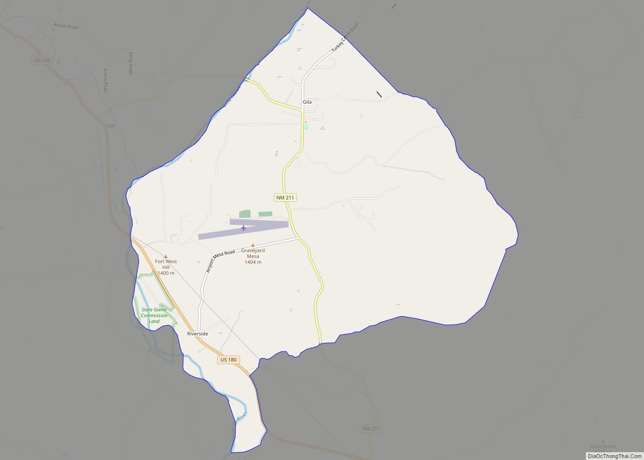
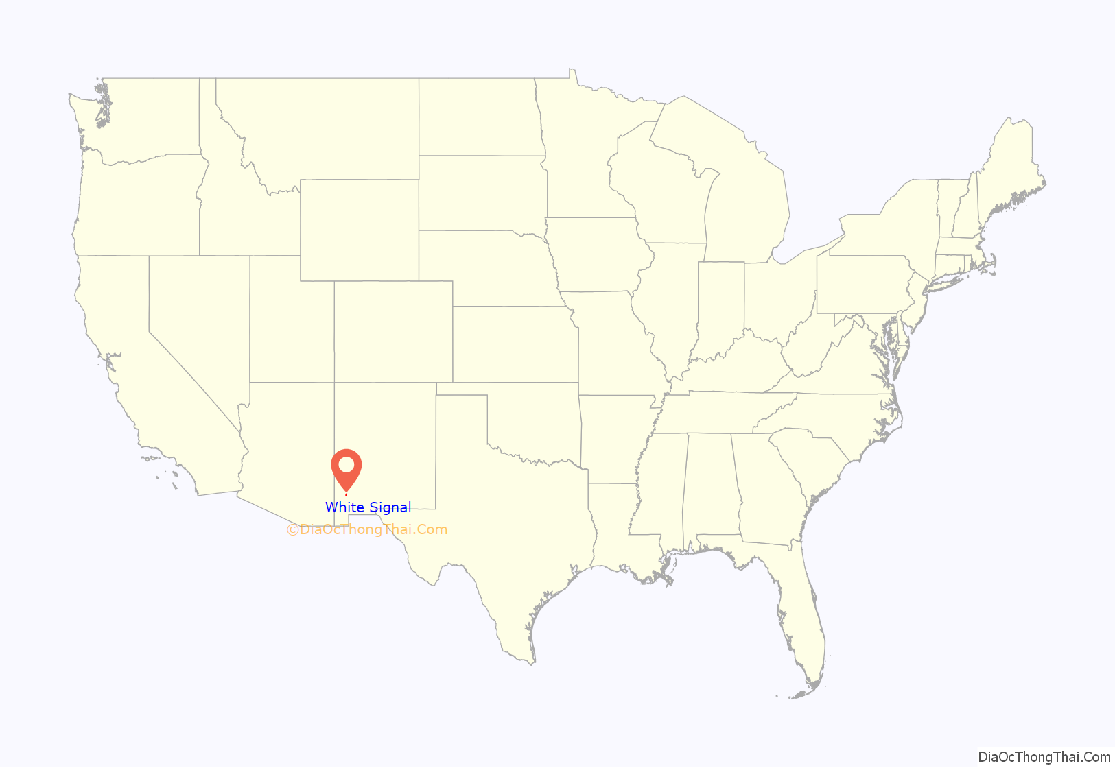
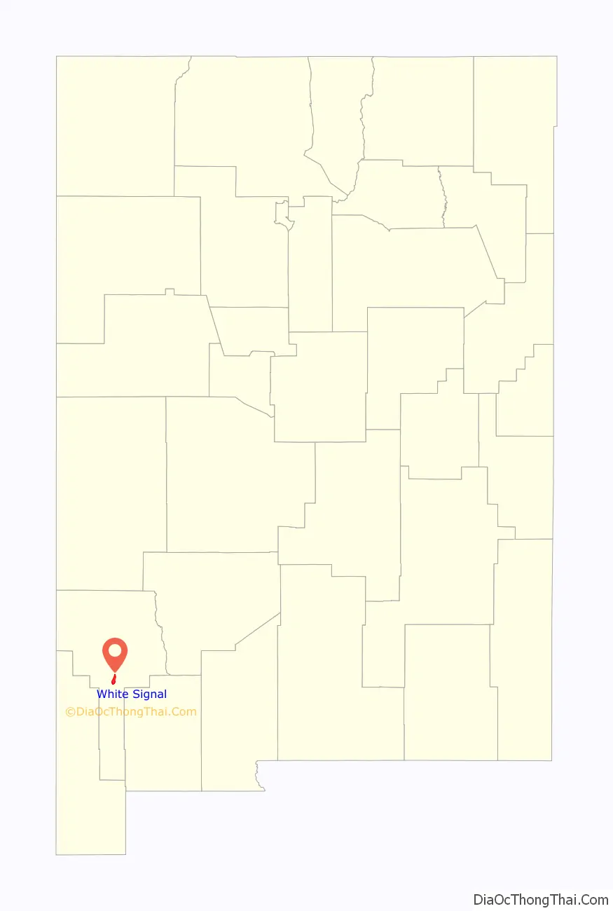
White Signal location map. Where is White Signal CDP?
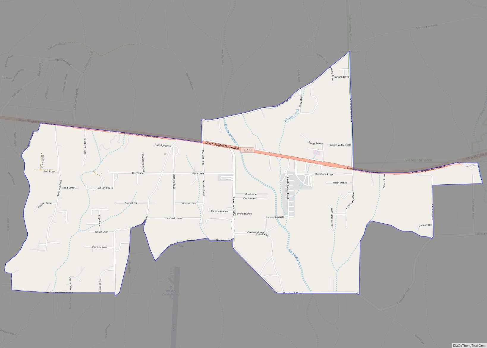
White Signal Road Map
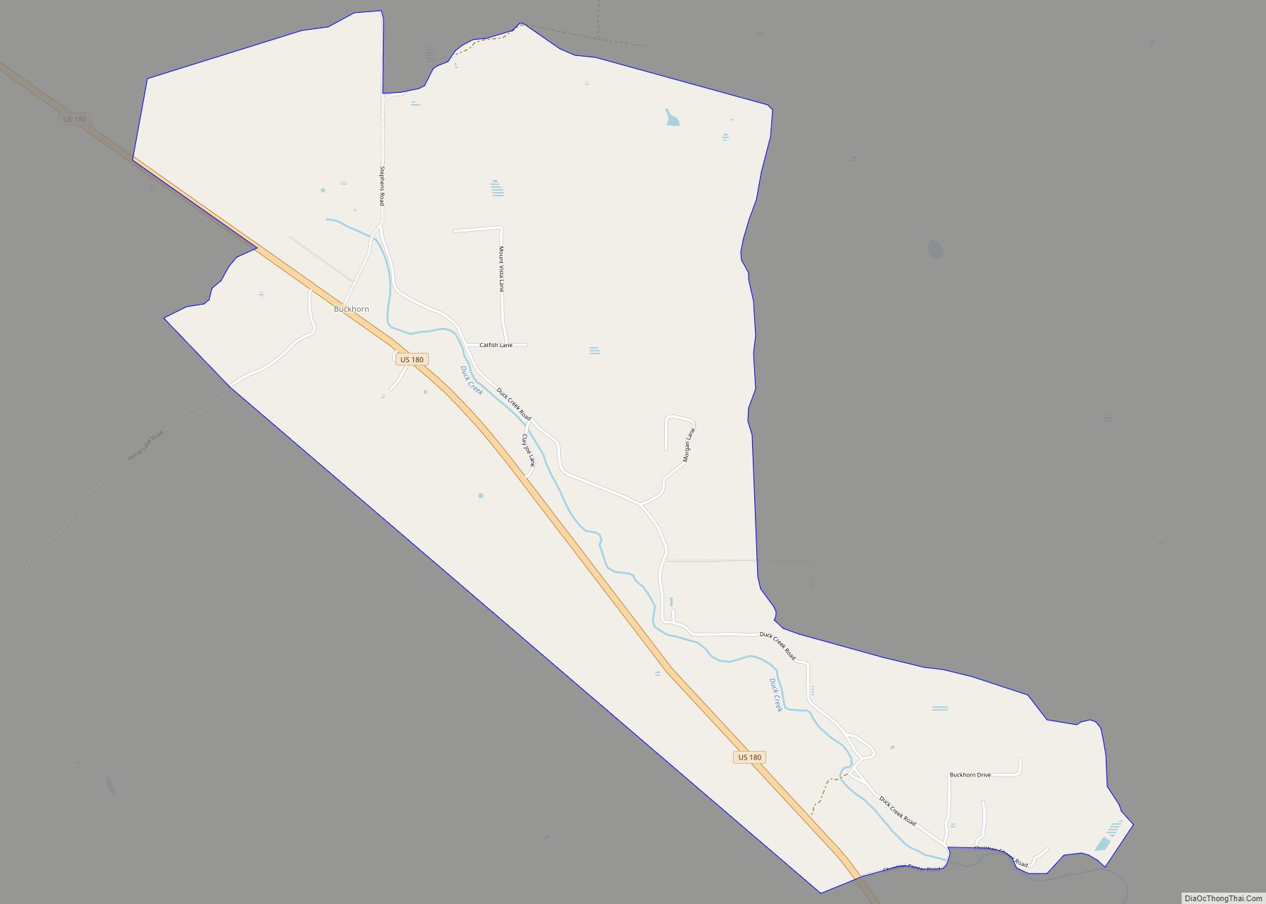
White Signal city Satellite Map
Geography
White Signal is located at 32°34′04″N 108°20′57″W / 32.567728°N 108.349028°W / 32.567728; -108.349028. According to the U.S. Census Bureau, the community has an area of 6.442 square miles (16.68 km); 6.433 square miles (16.66 km) of its area is land and 0.009 square miles (0.023 km) is water.
See also
Map of New Mexico State and its subdivision: Map of other states:- Alabama
- Alaska
- Arizona
- Arkansas
- California
- Colorado
- Connecticut
- Delaware
- District of Columbia
- Florida
- Georgia
- Hawaii
- Idaho
- Illinois
- Indiana
- Iowa
- Kansas
- Kentucky
- Louisiana
- Maine
- Maryland
- Massachusetts
- Michigan
- Minnesota
- Mississippi
- Missouri
- Montana
- Nebraska
- Nevada
- New Hampshire
- New Jersey
- New Mexico
- New York
- North Carolina
- North Dakota
- Ohio
- Oklahoma
- Oregon
- Pennsylvania
- Rhode Island
- South Carolina
- South Dakota
- Tennessee
- Texas
- Utah
- Vermont
- Virginia
- Washington
- West Virginia
- Wisconsin
- Wyoming