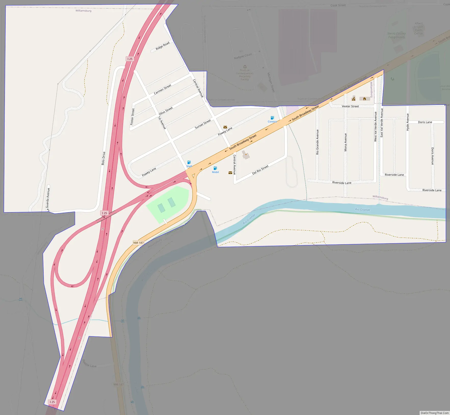
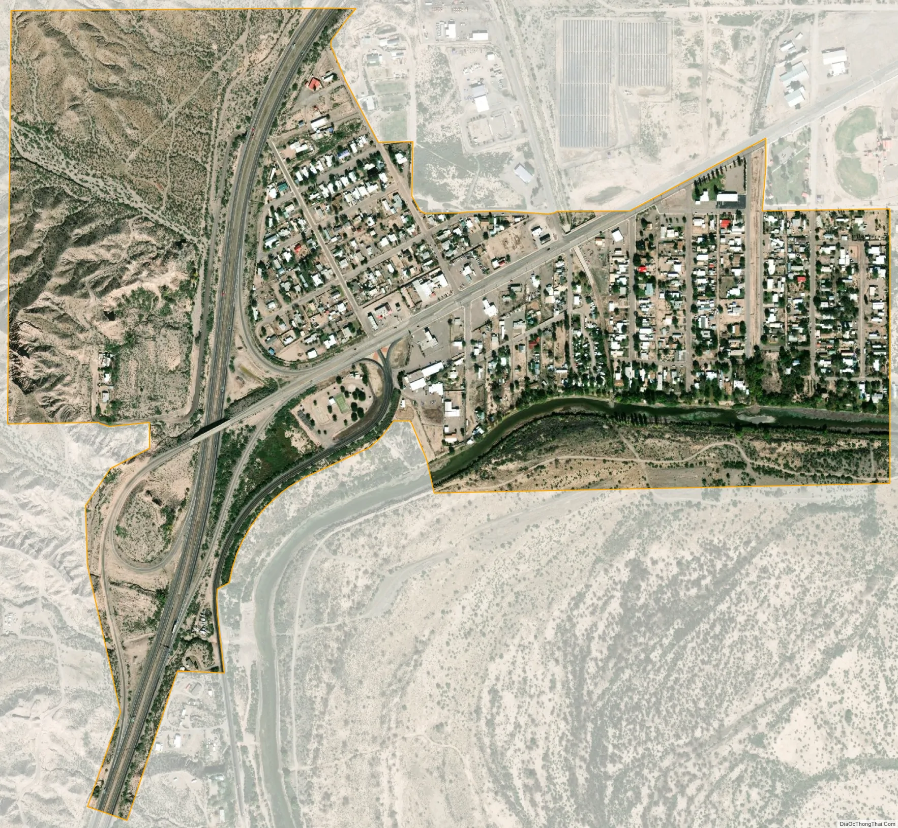
Williamsburg is a village in Sierra County, New Mexico, United States. The population was 449 at the 2010 census. The village, though small, is located adjacent to Truth or Consequences, and has essentially become a suburb. Though the town is experiencing moderate growth now, especially along I-25, in the near future there is a high possibility of its becoming a booming bedroom community for lakesiders from Elephant Butte.
| Name: | Williamsburg village |
|---|---|
| LSAD Code: | 47 |
| LSAD Description: | village (suffix) |
| State: | New Mexico |
| County: | Sierra County |
| Elevation: | 4,236 ft (1,291 m) |
| Total Area: | 0.51 sq mi (1.32 km²) |
| Land Area: | 0.49 sq mi (1.26 km²) |
| Water Area: | 0.02 sq mi (0.06 km²) |
| Total Population: | 462 |
| Population Density: | 950.62/sq mi (367.07/km²) |
| ZIP code: | 87942 |
| Area code: | 575 |
| FIPS code: | 3585300 |
| GNISfeature ID: | 0899996 |
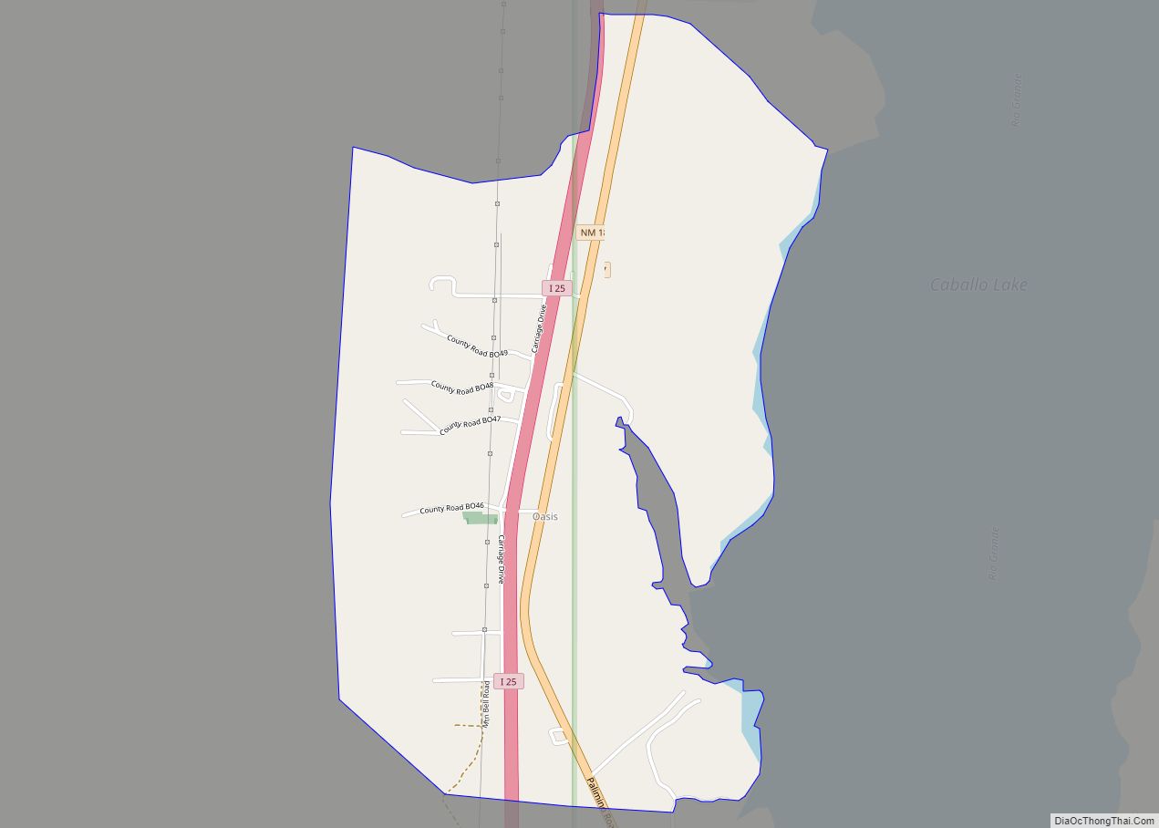
Online Interactive Map
Click on ![]() to view map in "full screen" mode.
to view map in "full screen" mode.
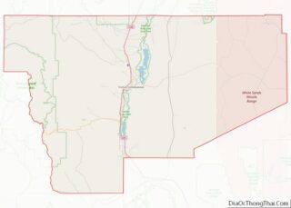
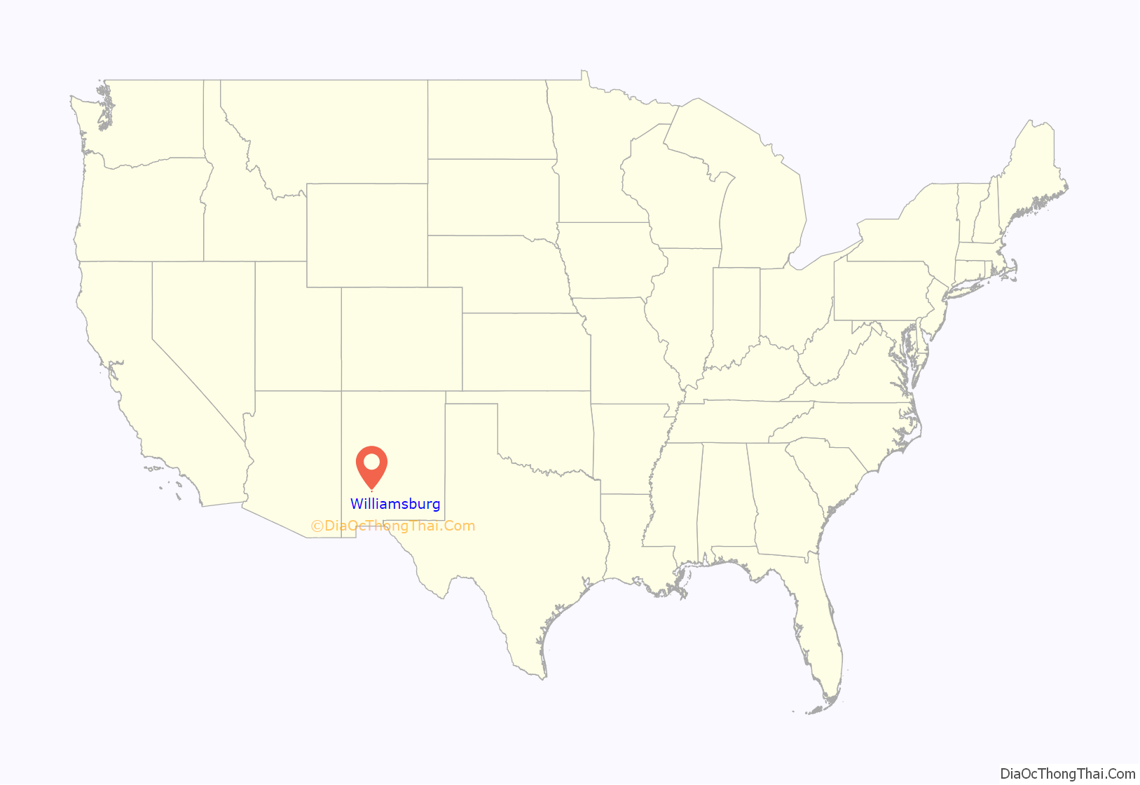
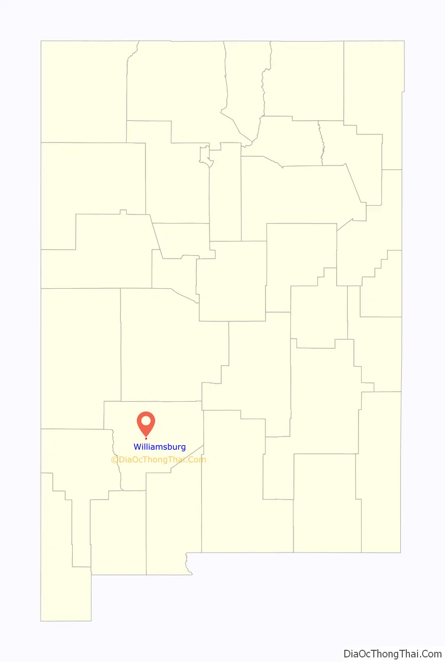
Williamsburg location map. Where is Williamsburg village?
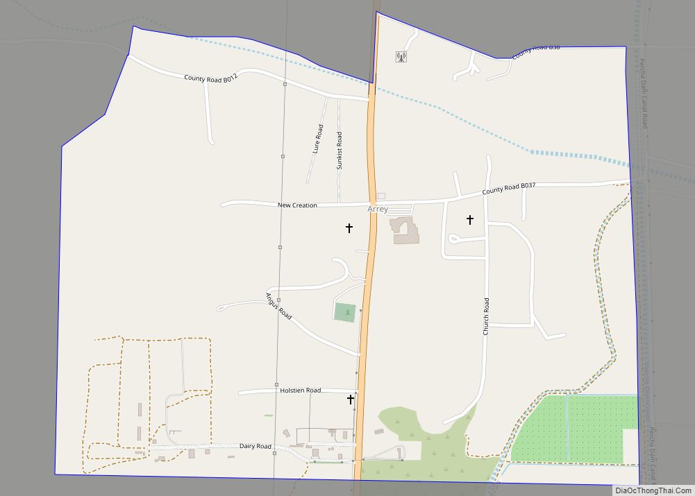
Williamsburg Road Map
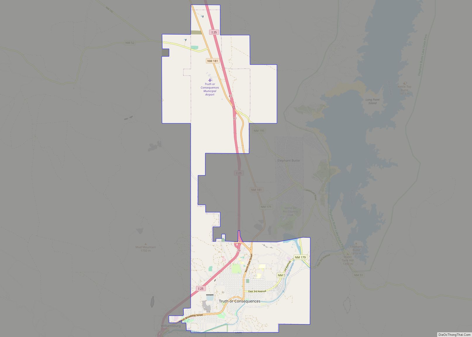
Williamsburg city Satellite Map
Geography
Williamsburg is located at 33°07′00″N 107°17′33″W / 33.116591°N 107.292503°W / 33.116591; -107.292503.
According to the United States Census Bureau, the village has a total area of 0.5 square mile (1.2 km), all land.
See also
Map of New Mexico State and its subdivision: Map of other states:- Alabama
- Alaska
- Arizona
- Arkansas
- California
- Colorado
- Connecticut
- Delaware
- District of Columbia
- Florida
- Georgia
- Hawaii
- Idaho
- Illinois
- Indiana
- Iowa
- Kansas
- Kentucky
- Louisiana
- Maine
- Maryland
- Massachusetts
- Michigan
- Minnesota
- Mississippi
- Missouri
- Montana
- Nebraska
- Nevada
- New Hampshire
- New Jersey
- New Mexico
- New York
- North Carolina
- North Dakota
- Ohio
- Oklahoma
- Oregon
- Pennsylvania
- Rhode Island
- South Carolina
- South Dakota
- Tennessee
- Texas
- Utah
- Vermont
- Virginia
- Washington
- West Virginia
- Wisconsin
- Wyoming