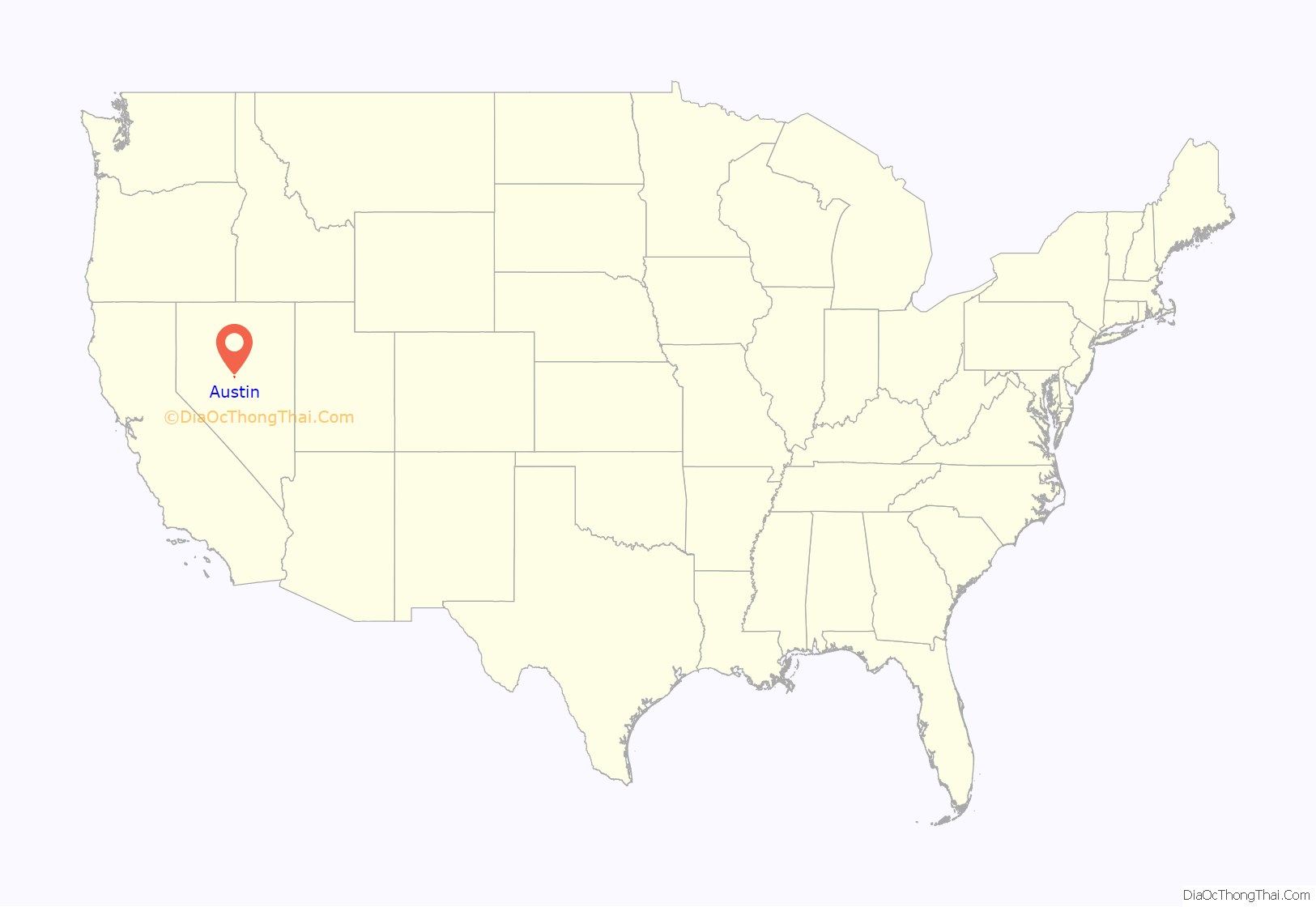
Austin is an unincorporated small town in, and former county seat of, Lander County, Nevada, United States. In 2020, the census-designated place of Austin had a population of 167. It is located on the western slopes of the Toiyabe Range at an elevation of 6,575 feet (2,004 m). U.S. Route 50 passes through the town.
| Name: | Austin CDP |
|---|---|
| LSAD Code: | 57 |
| LSAD Description: | CDP (suffix) |
| State: | Nevada |
| County: | Lander County |
| Elevation: | 6,555 ft (1,998 m) |
| Total Area: | 1.15 sq mi (2.98 km²) |
| Land Area: | 1.15 sq mi (2.98 km²) |
| Water Area: | 0.00 sq mi (0.00 km²) |
| Total Population: | 167 |
| Population Density: | 145.22/sq mi (56.05/km²) |
| ZIP code: | 89310 |
| FIPS code: | 3203700 |
| GNISfeature ID: | 2583910 |
Online Interactive Map
Click on ![]() to view map in "full screen" mode.
to view map in "full screen" mode.
Austin location map. Where is Austin CDP?
History
The Austin area was originally occupied by bands of the Western Shoshone people. The city of Austin was mapped out in 1862 by David Buell. This was during the American Civil War, and the Union was eager to find new sources of precious metals, especially gold, to support the war effort. The city was named after Buell’s partner, Alvah Austin, during a silver rush. The valued metal was reputedly found when a Pony Express horse kicked over a rock and observers noticed the silver. In 1862, it was designated as the county seat of Lander County. (In 1979, after the center of population had shifted, the county seat was shifted to Battle Mountain.) By summer 1863, Austin and the surrounding Reese River Mining District had a population of more than 10,000, mostly European Americans attracted to the silver boom. In January 1864, a petition was created to combine Clifton, Austin and Upper Austin into the “City of Austin.” The Governor signed the bill in February 1864. In 1864, the town launched Reuel Colt Gridley’s impromptu fundraising drive that raised over $250,000 for wounded Civil War veterans, by repeatedly auctioning a sack of flour.
The Nevada Central Railroad was built to connect Austin with the transcontinental railroad at Battle Mountain in 1880. However, by that time the silver boom was almost over. The city was disincorporated in 1881. Major silver production ended by 1887, although there was a slight revival in the 1910s. In the mid-1950s there was a great deal of interest in uranium deposits in the area, to fuel the emerging nuclear industry, but the ore proved to be of low quality.
Gold and silver mining has continued in the area sporadically and at generally low levels of production. High quality turquoise is still mined in the area in small quantities. Several shops manufacture jewelry from local turquoise.
Austin Road Map
Austin city Satellite Map
Geography
The Austin silver deposits consist of numerous narrow (often only several inches in width) quartz veins hosted in monzonite rock. The main ore minerals are sulfides that contain silver, including large quantities of galena and tetrahedrite. Oxidized ore, which was very shallow, included silver chloride (chlorargyrite) which was easily reduced to metallic silver, although these oxidized deposits were exhausted quickly. The deeper sulfide (hypogene) ore was much more difficult to work and had to be roasted prior to amalgamation. Milling and concentration was used to separate the silver-containing sulfides from the barren quartz. Because of the added expense of this kind of processing along with the narrow veins, only high grade ores could be profitably worked in Austin.
The Austin veins are of an older age and were formed at a greater depth than many other silver districts in Nevada, such as the epithermal veins of Virginia City (Comstock Lode). In addition, the value of the Austin ores was largely (with several exceptions) silver (with significant base metals (lead, zinc and copper)) with very little gold, whereas most epithermal veins have highly significant gold.
Climate
Austin experiences a cold semi-arid climate (Köppen BSk) with cold, snowy winters and hot, dry summers.
See also
Map of Nevada State and its subdivision: Map of other states:- Alabama
- Alaska
- Arizona
- Arkansas
- California
- Colorado
- Connecticut
- Delaware
- District of Columbia
- Florida
- Georgia
- Hawaii
- Idaho
- Illinois
- Indiana
- Iowa
- Kansas
- Kentucky
- Louisiana
- Maine
- Maryland
- Massachusetts
- Michigan
- Minnesota
- Mississippi
- Missouri
- Montana
- Nebraska
- Nevada
- New Hampshire
- New Jersey
- New Mexico
- New York
- North Carolina
- North Dakota
- Ohio
- Oklahoma
- Oregon
- Pennsylvania
- Rhode Island
- South Carolina
- South Dakota
- Tennessee
- Texas
- Utah
- Vermont
- Virginia
- Washington
- West Virginia
- Wisconsin
- Wyoming


