Cold Springs is a census-designated place (CDP) in Washoe County, Nevada, United States. It is known as Eitse’ihpaa or Eitse’ippaa (literally “cold water” or “cold spring”) in Shoshoni. It is located just off U.S. Route 395 in the northwestern part of the Reno–Sparks Metropolitan Statistical Area, adjacent to the California state line. The population was 8,544 at the 2010 census.
| Name: | Cold Springs CDP |
|---|---|
| LSAD Code: | 57 |
| LSAD Description: | CDP (suffix) |
| State: | Nevada |
| County: | Washoe County |
| Elevation: | 5,059 ft (1,542 m) |
| Total Area: | 8.76 sq mi (22.69 km²) |
| Land Area: | 8.76 sq mi (22.69 km²) |
| Water Area: | 0.00 sq mi (0.00 km²) |
| Total Population: | 10,153 |
| Population Density: | 1,159.15/sq mi (447.56/km²) |
| ZIP code: | 89508 |
| Area code: | 775 |
| FIPS code: | 3214090 |
| GNISfeature ID: | 1852655 |
Online Interactive Map
Click on ![]() to view map in "full screen" mode.
to view map in "full screen" mode.
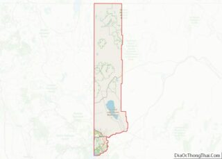
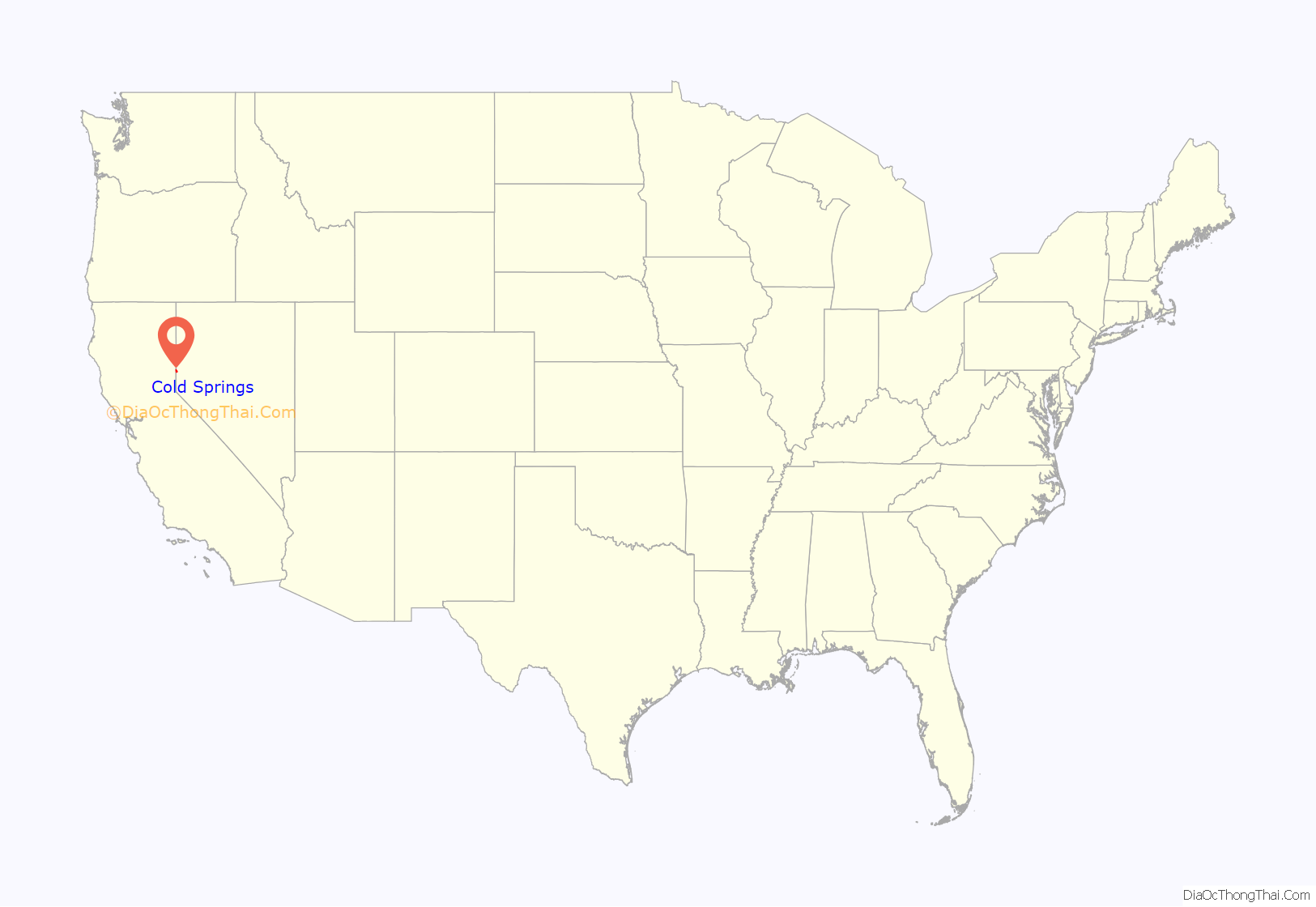
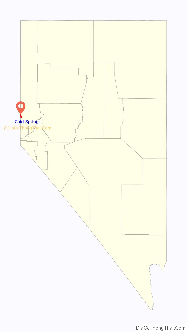
Cold Springs location map. Where is Cold Springs CDP?
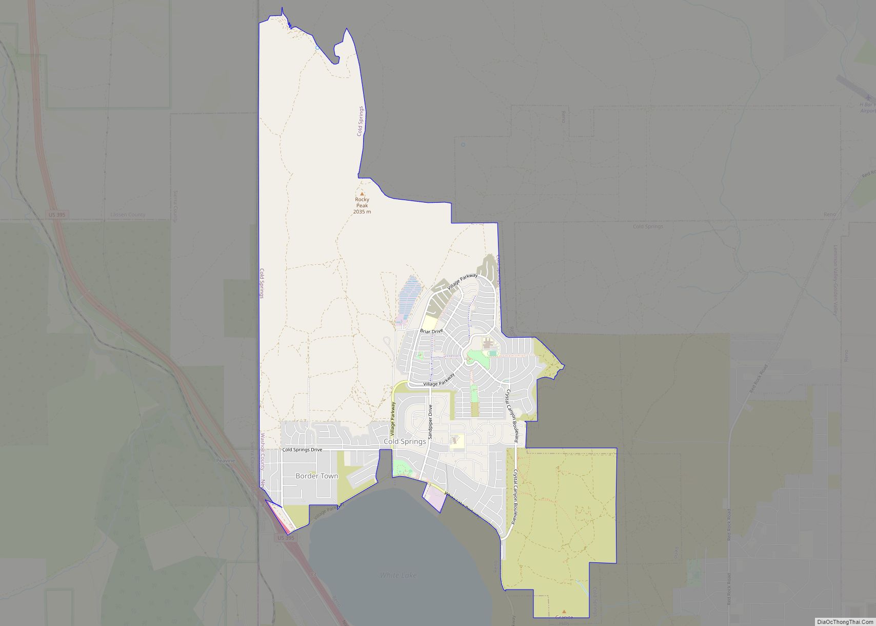
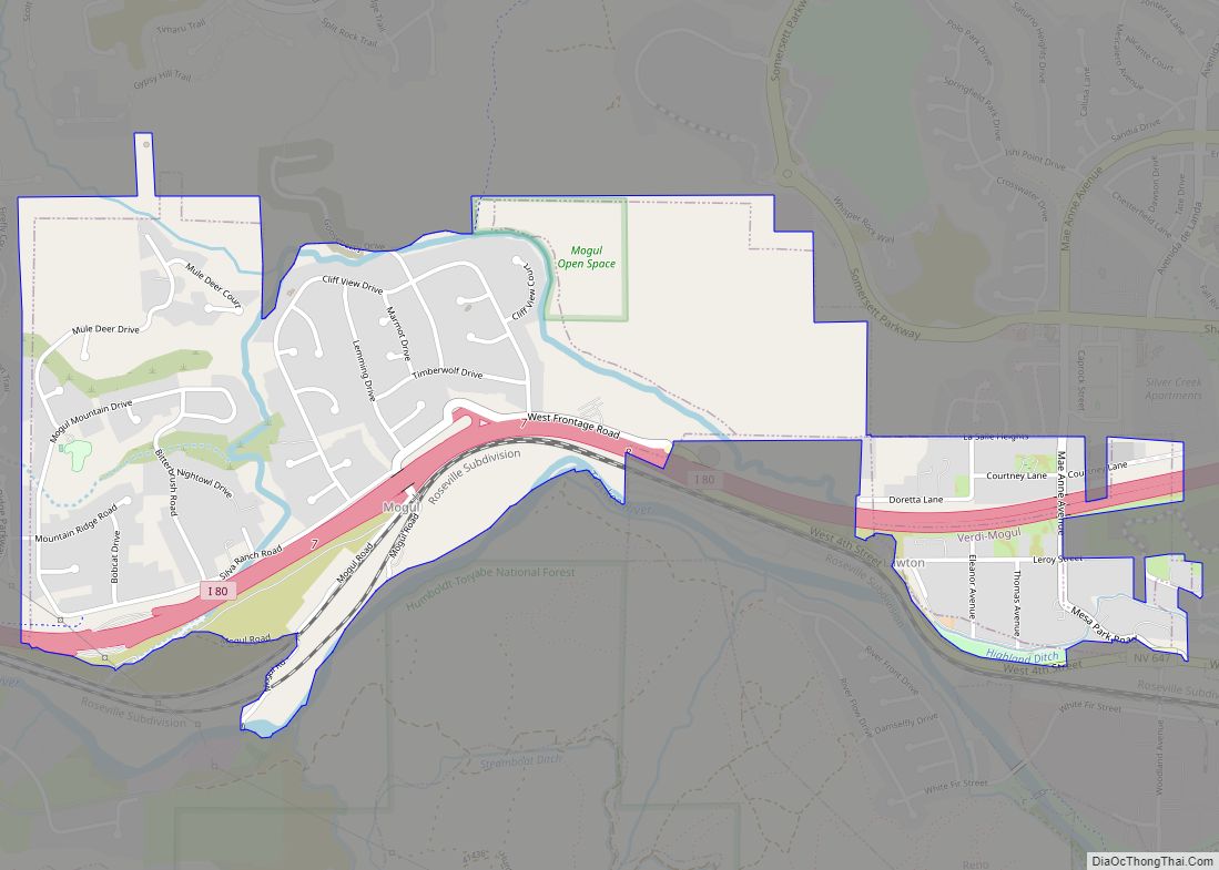
Cold Springs Road Map
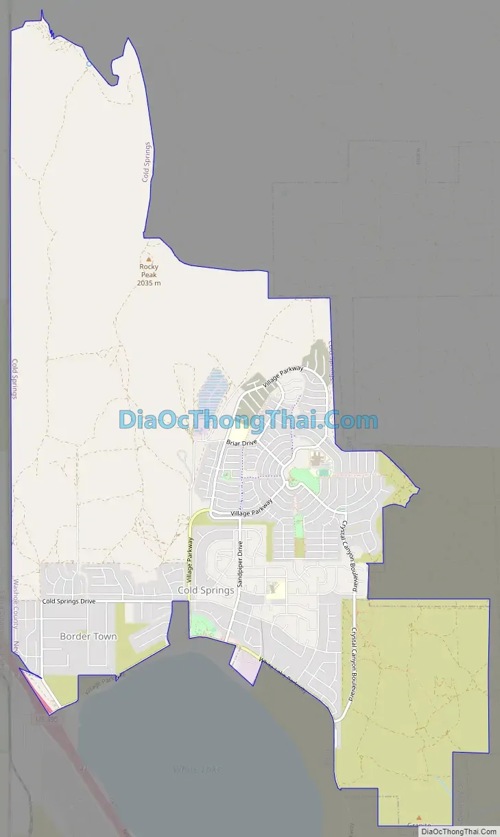
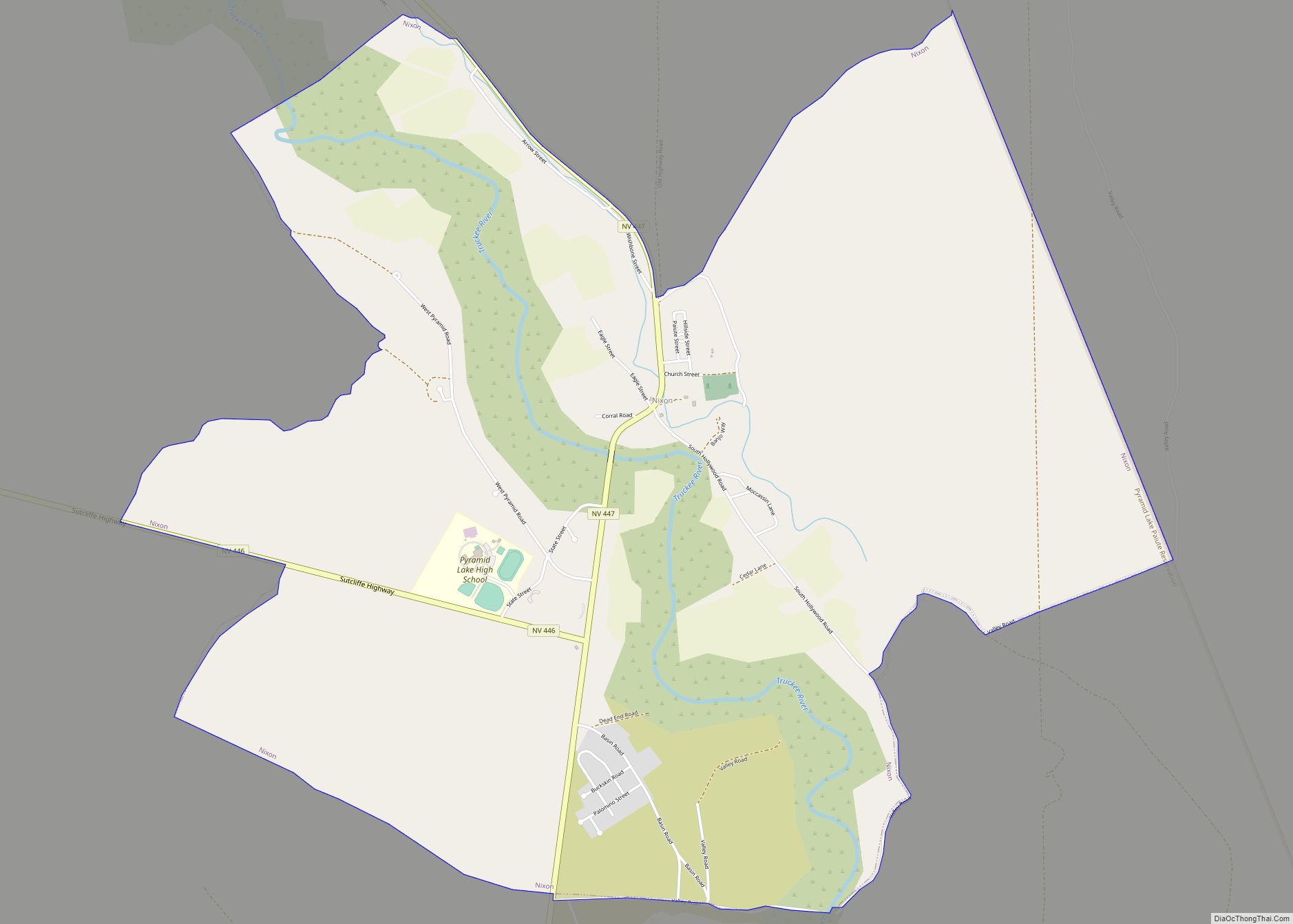
Cold Springs city Satellite Map

Geography
Cold Springs is located at 39°40′37″N 119°58′4″W / 39.67694°N 119.96778°W / 39.67694; -119.96778 (39.676916, -119.967643).
According to the United States Census Bureau, the CDP has a total area of 8.8 square miles (22.7 km), all land.
See also
Map of Nevada State and its subdivision: Map of other states:- Alabama
- Alaska
- Arizona
- Arkansas
- California
- Colorado
- Connecticut
- Delaware
- District of Columbia
- Florida
- Georgia
- Hawaii
- Idaho
- Illinois
- Indiana
- Iowa
- Kansas
- Kentucky
- Louisiana
- Maine
- Maryland
- Massachusetts
- Michigan
- Minnesota
- Mississippi
- Missouri
- Montana
- Nebraska
- Nevada
- New Hampshire
- New Jersey
- New Mexico
- New York
- North Carolina
- North Dakota
- Ohio
- Oklahoma
- Oregon
- Pennsylvania
- Rhode Island
- South Carolina
- South Dakota
- Tennessee
- Texas
- Utah
- Vermont
- Virginia
- Washington
- West Virginia
- Wisconsin
- Wyoming