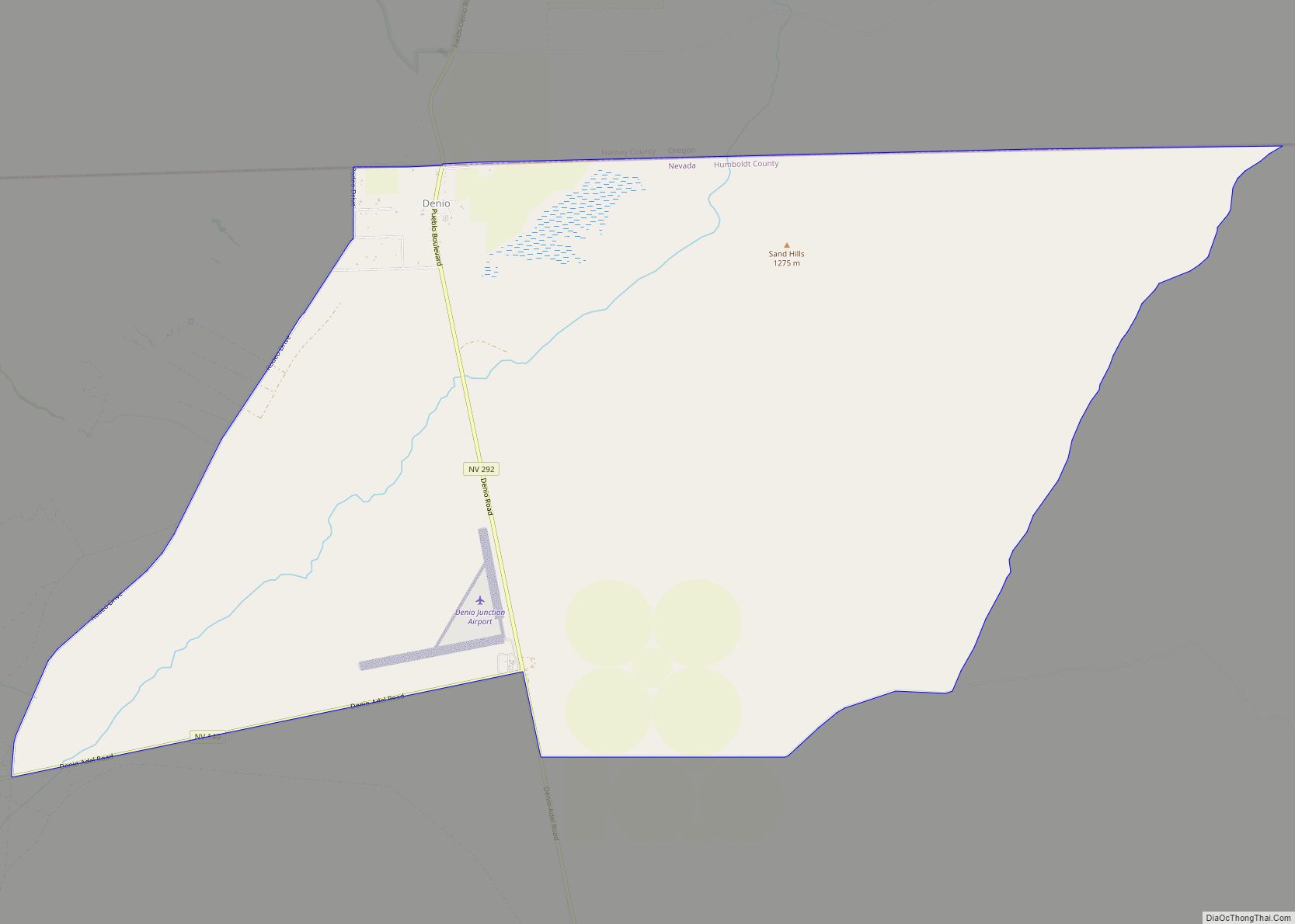
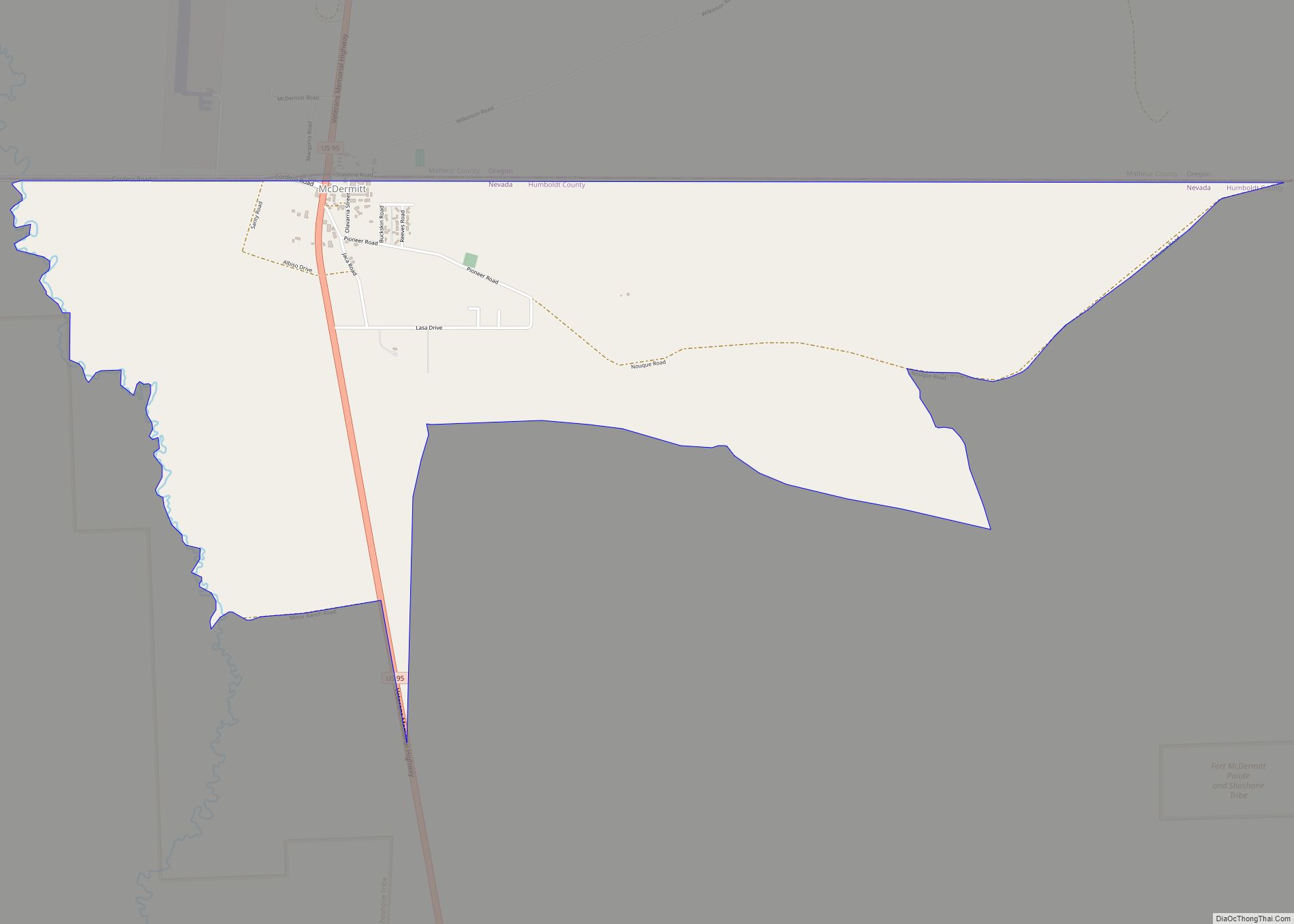
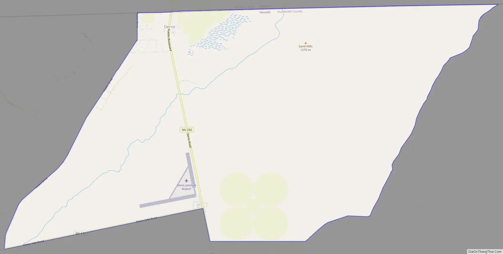
Denio is a census-designated place (CDP) in Humboldt County, Nevada, along the Oregon state line in the United States. The Denio post office was originally north of the state line in Harney County, Oregon, but the residents moved the building into Nevada in the mid-20th century. The population of the CDP, which is entirely in Nevada, was 47 at the 2010 census; additional development considered to be Denio extends into Oregon. The CDP includes a post office, a community center, a library, and the Diamond Inn Bar, the center of the town’s social life. Recreational activities in the Denio area include bird watching, photography, off road vehicle use, fishing, recreational black opal mining, rockhounding, hunting, visiting the hot springs, and camping on the Sheldon National Wildlife Refuge.
Denio Junction is about 3 miles (5 km) south of Denio, at the junction of State Route 140 and State Route 292. Denio Junction’s motel provides gas, food, groceries, and lodging. Denio Junction Airport is a two-runway graded airstrip. There is no scheduled air or ground transportation serving this field, which is a short walk from Denio Junction.
| Name: | Denio CDP |
|---|---|
| LSAD Code: | 57 |
| LSAD Description: | CDP (suffix) |
| State: | Nevada |
| County: | Humboldt County |
| Elevation: | 4,206 ft (1,282 m) |
| Total Area: | 0.46 sq mi (1.19 km²) |
| Land Area: | 0.46 sq mi (1.19 km²) |
| Water Area: | 0.00 sq mi (0.00 km²) |
| Total Population: | 34 |
| Population Density: | 74.24/sq mi (28.65/km²) |
| ZIP code: | 89404 |
| FIPS code: | 3218500 |
| GNISfeature ID: | 845425 |
Online Interactive Map
Click on ![]() to view map in "full screen" mode.
to view map in "full screen" mode.
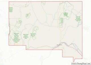
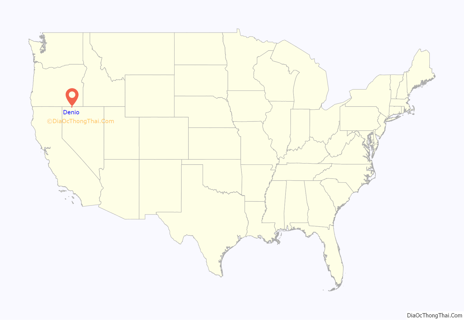
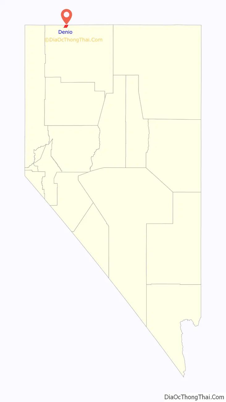
Denio location map. Where is Denio CDP?
History
Denio was named after Aaron Denio, who settled in the area in 1885. He was born in 1824 in Illinois and traveled to California in 1860. He worked in milling, mining, and farming in Nevada and California for 25 years before settling near the Oregon-Nevada border. He died at Denio in 1907. The Denio post office was established in Oregon in 1888. After World War II a number of businesses relocated south of the state line to take advantage of Nevada’s lack of an income tax and more liberal liquor, gambling, and prostitution laws. The post office was moved and reopened in Nevada in 1950 for Nevada addresses, not Oregon.
Denio Road Map
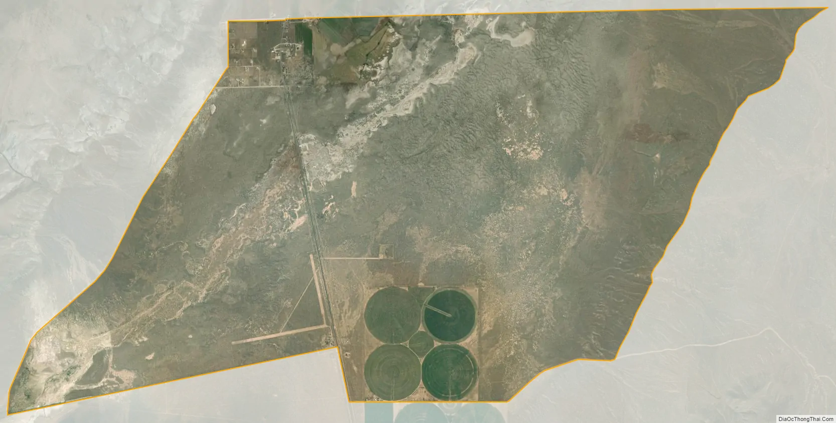
Denio city Satellite Map
See also
Map of Nevada State and its subdivision: Map of other states:- Alabama
- Alaska
- Arizona
- Arkansas
- California
- Colorado
- Connecticut
- Delaware
- District of Columbia
- Florida
- Georgia
- Hawaii
- Idaho
- Illinois
- Indiana
- Iowa
- Kansas
- Kentucky
- Louisiana
- Maine
- Maryland
- Massachusetts
- Michigan
- Minnesota
- Mississippi
- Missouri
- Montana
- Nebraska
- Nevada
- New Hampshire
- New Jersey
- New Mexico
- New York
- North Carolina
- North Dakota
- Ohio
- Oklahoma
- Oregon
- Pennsylvania
- Rhode Island
- South Carolina
- South Dakota
- Tennessee
- Texas
- Utah
- Vermont
- Virginia
- Washington
- West Virginia
- Wisconsin
- Wyoming