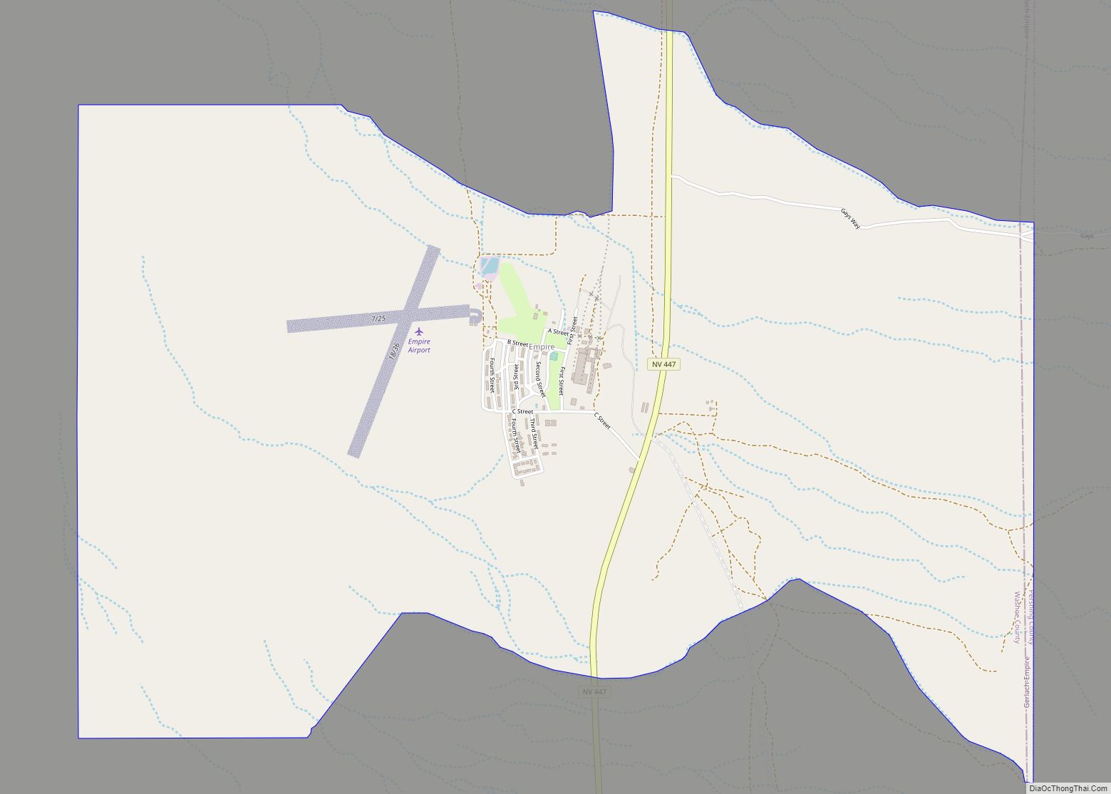
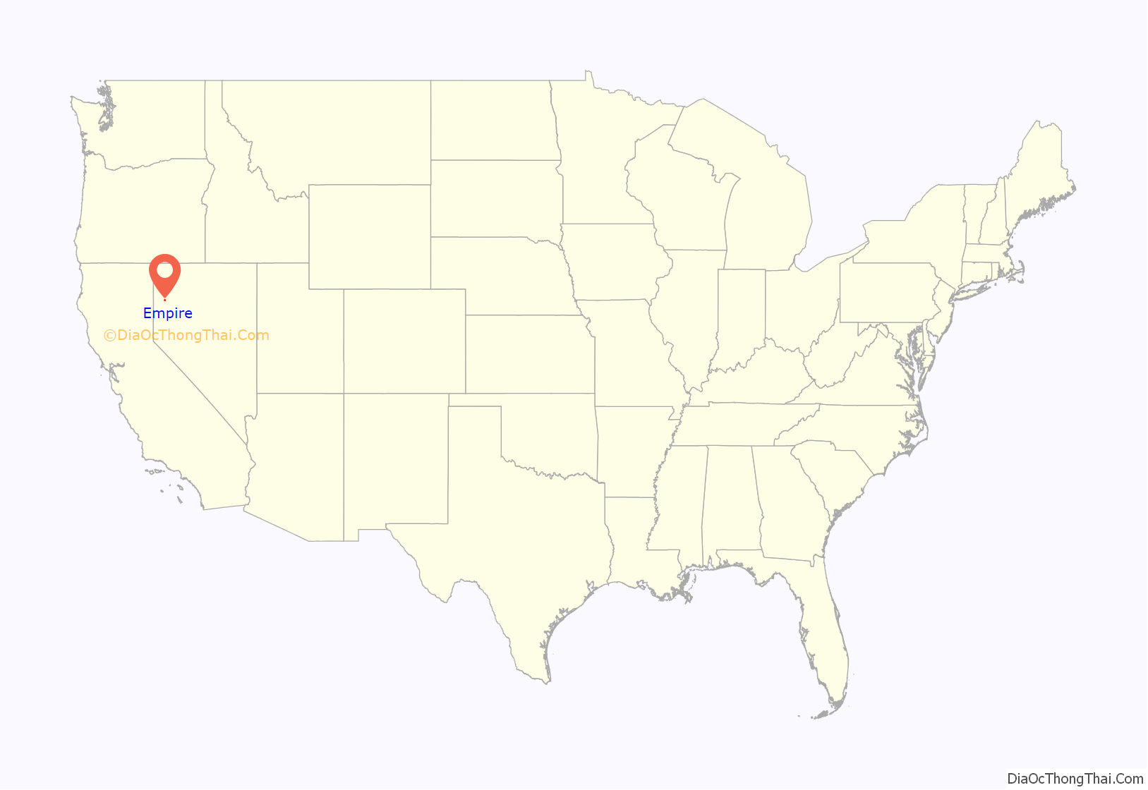
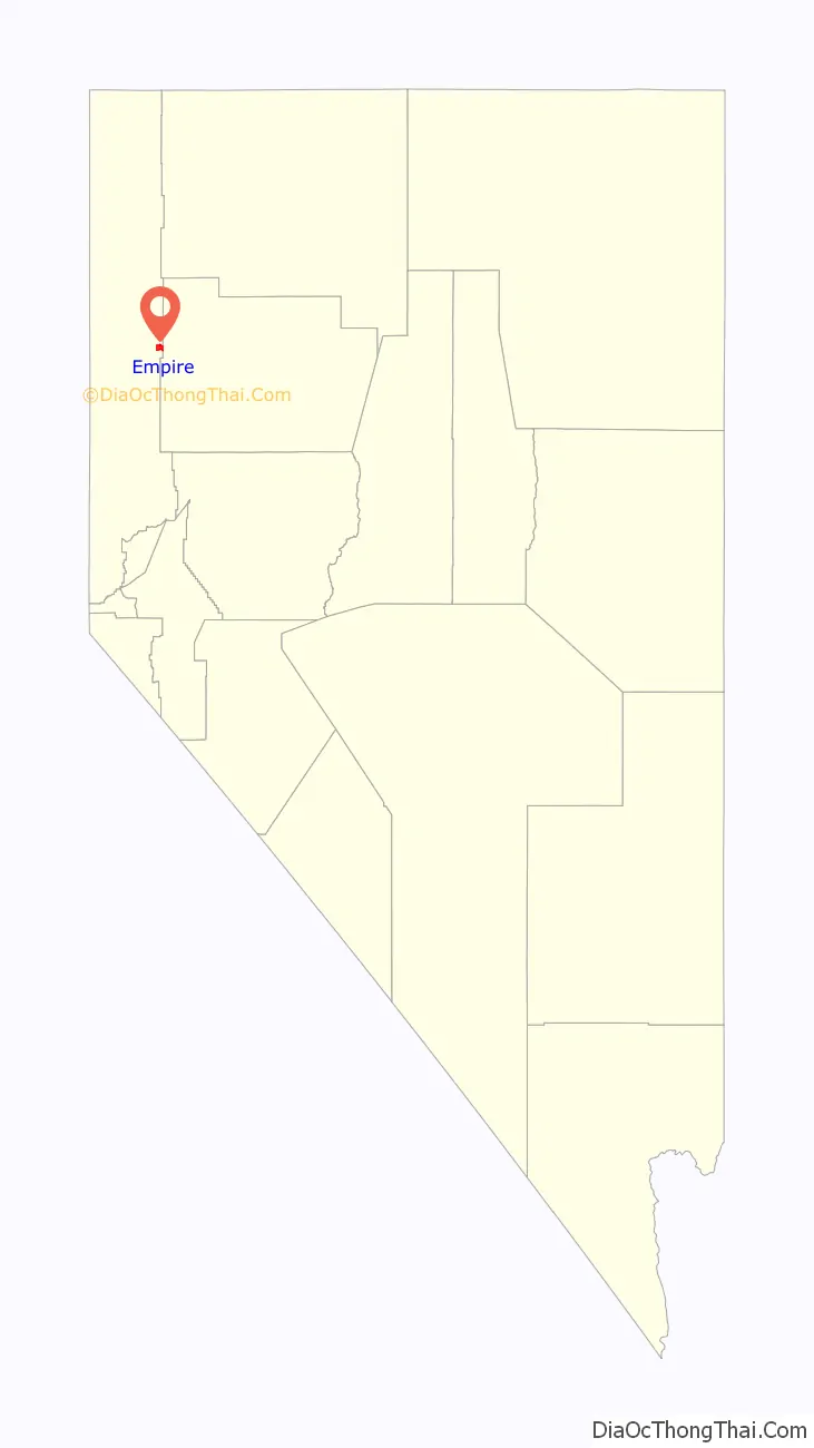
Empire is an unincorporated community and census-designated place (CDP) in Washoe County, Nevada, with a population estimated at 65 (2021). It is part of the Reno–Sparks Metropolitan Statistical Area; before the 2010 census, it was part of the Gerlach–Empire census-designated place. The nearest town, Nixon, is 60 miles (97 km) to the south on a reservation owned by the Pyramid Lake Paiute Tribe.
For 63 years, from 1948 to 2011, Empire was a company town of the US Gypsum Corporation, a manufacturer of gypsum based construction sheetrock, and once had a population of more than 750 people. US Gypsum closed the mine and the town in 2011; the mine and town were bought in 2016 by the Empire Mining Company (EMC), a manufacturer of gypsum based agricultural and construction additives. In 2016, the town again became a company town under the new auspices of EMC. Since that date both the town and the mine have been partially reopened by the new owners.
| Name: | Empire CDP |
|---|---|
| LSAD Code: | 57 |
| LSAD Description: | CDP (suffix) |
| State: | Nevada |
| County: | Washoe County |
| Elevation: | 4,036 ft (1,230 m) |
| Total Area: | 5.13 sq mi (13.30 km²) |
| Land Area: | 5.13 sq mi (13.30 km²) |
| Water Area: | 0.00 sq mi (0.00 km²) |
| Total Population: | 47 |
| Population Density: | 9.16/sq mi (3.54/km²) |
| ZIP code: | 89405 |
| Area code: | 775 |
| FIPS code: | 3223700 |
| GNISfeature ID: | 2583921 |
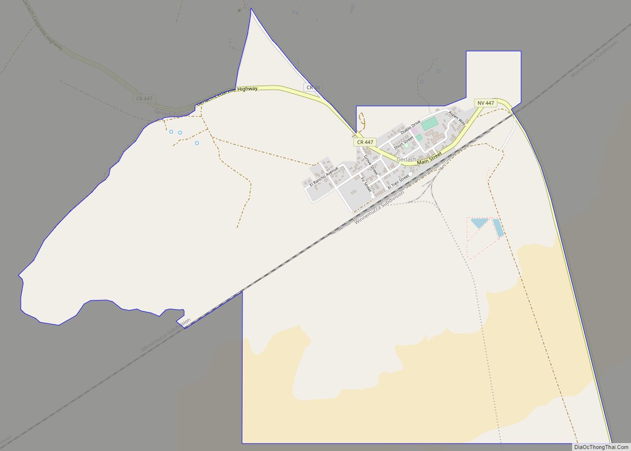
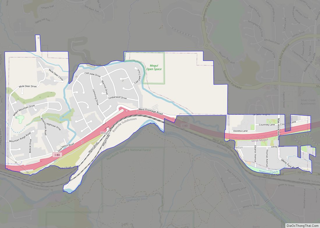
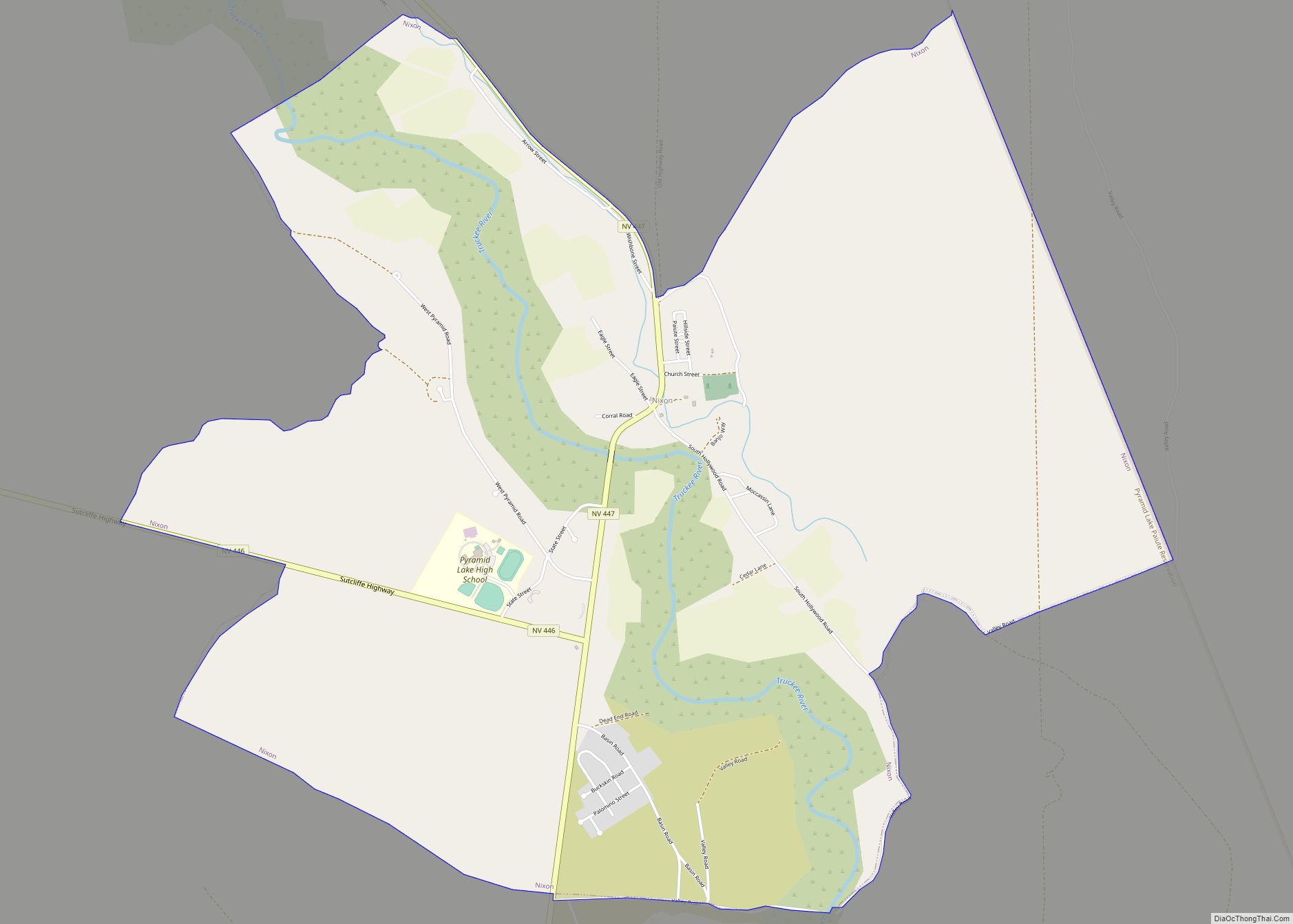
Online Interactive Map
Click on ![]() to view map in "full screen" mode.
to view map in "full screen" mode.
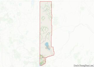
Empire location map. Where is Empire CDP?
History
In 1907, Alex Ranson discovered gypsum near what later became Empire. In late 1909, Alex Ranson, Nick Curnow, E. H. Cowles and James Raser filed a patent for a selenite placer mining claim. In 1911, the mine was sold to unnamed buyers, rumored to be the plaster or gypsum trust from the eastern U.S. The sale was for between $50,000 (equivalent to $1,450,000 in 2021) and $100,000 (equivalent to $2,910,000 in 2021). In 1922, the Pacific Portland Cement company started construction of a mill at what is now known as Empire. In 1924, the Pacific Portland Cement company completed the move of their mill to the current location of Empire from a location near Mound House, Nevada near what was then known as Empire and the Carson River mills. The company called the new plant Empire. U.S. Gypsum bought the town in 1948. Empire reached a maximum population of 750 in the early 1960s.
Amid a slump in the construction industry, the gypsum plant in Empire closed its doors on January 31, 2011, eliminating 95 jobs. Residents with children were allowed to continue inhabiting their company homes through June 20, 2011, the end of the school year. After that date, Empire had empty homes and a large shuttered plant that made it seem almost like a ghost town. The ZIP Code, 89405, was also discontinued. During the years that the mill and town were both closed (2011 – 2016), U.S. Gypsum first erected a large fence around the entire town and plant complex; it then retained two employees to patrol and maintain the property. It also brought two llamas onto the property to keep the grass trimmed.
In mid-2016, U.S. Gypsum sold the town and the mine to the Empire Mining Company, thus workers began to move back into the town to work under the new mine owners. Since 2016, both the mine and the town have been partially reopened by the new owners of the mine, with a total population of 65 (2021).
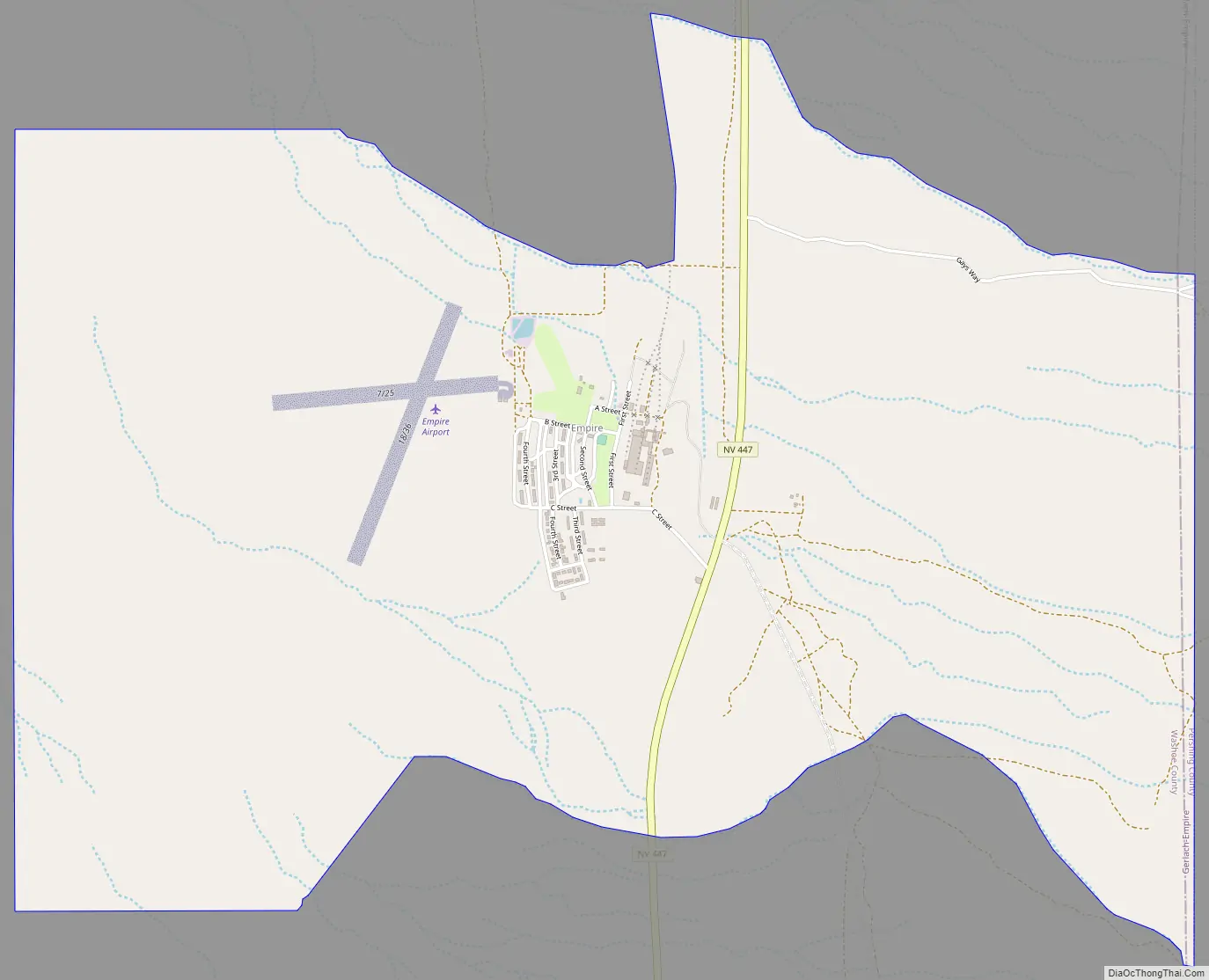
Empire Road Map
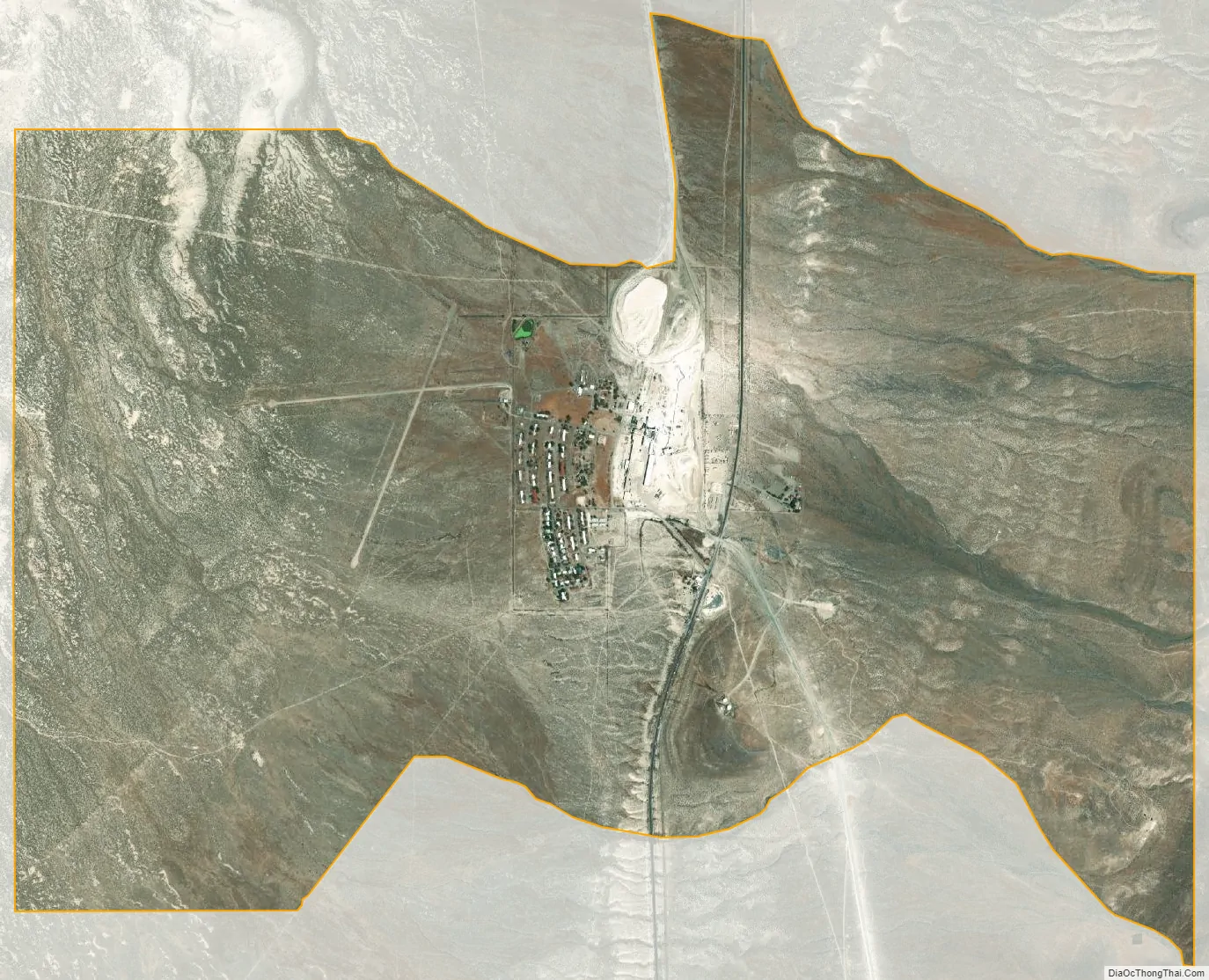
Empire city Satellite Map
Geography
According to the United States Census Bureau, the Empire CDP has a total area of 5.1 square miles (13.3 km), all land. Its elevation is 4,040 feet (1,230 m) above sea level.
Climate
See also
Map of Nevada State and its subdivision: Map of other states:- Alabama
- Alaska
- Arizona
- Arkansas
- California
- Colorado
- Connecticut
- Delaware
- District of Columbia
- Florida
- Georgia
- Hawaii
- Idaho
- Illinois
- Indiana
- Iowa
- Kansas
- Kentucky
- Louisiana
- Maine
- Maryland
- Massachusetts
- Michigan
- Minnesota
- Mississippi
- Missouri
- Montana
- Nebraska
- Nevada
- New Hampshire
- New Jersey
- New Mexico
- New York
- North Carolina
- North Dakota
- Ohio
- Oklahoma
- Oregon
- Pennsylvania
- Rhode Island
- South Carolina
- South Dakota
- Tennessee
- Texas
- Utah
- Vermont
- Virginia
- Washington
- West Virginia
- Wisconsin
- Wyoming