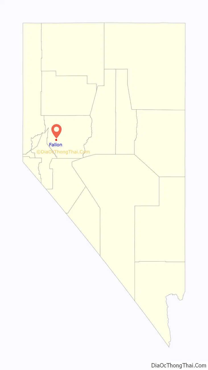
Fallon is a city in Churchill County in the U.S. state of Nevada. The population was 9,327 at time of the 2020 census. Fallon is the county seat of Churchill County and is located in the Lahontan Valley.
| Name: | Fallon city |
|---|---|
| LSAD Code: | 25 |
| LSAD Description: | city (suffix) |
| State: | Nevada |
| County: | Churchill County |
| Founded: | July 24, 1896; 126 years ago (1896-07-24) |
| Incorporated: | 1908; 115 years ago (1908) |
| Elevation: | 3,960 ft (1,210 m) |
| Total Area: | 3.71 sq mi (9.61 km²) |
| Land Area: | 3.71 sq mi (9.61 km²) |
| Water Area: | 0.00 sq mi (0.00 km²) |
| Total Population: | 9,327 |
| Population Density: | 2,513.34/sq mi (970.33/km²) |
| ZIP code: | 89406, 89407, 89496 |
| Area code: | 775 |
| FIPS code: | 3224100 |
| GNISfeature ID: | 0840412 |
| Website: | www.cityoffallon.com |
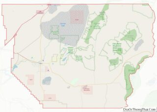
Online Interactive Map
Click on ![]() to view map in "full screen" mode.
to view map in "full screen" mode.
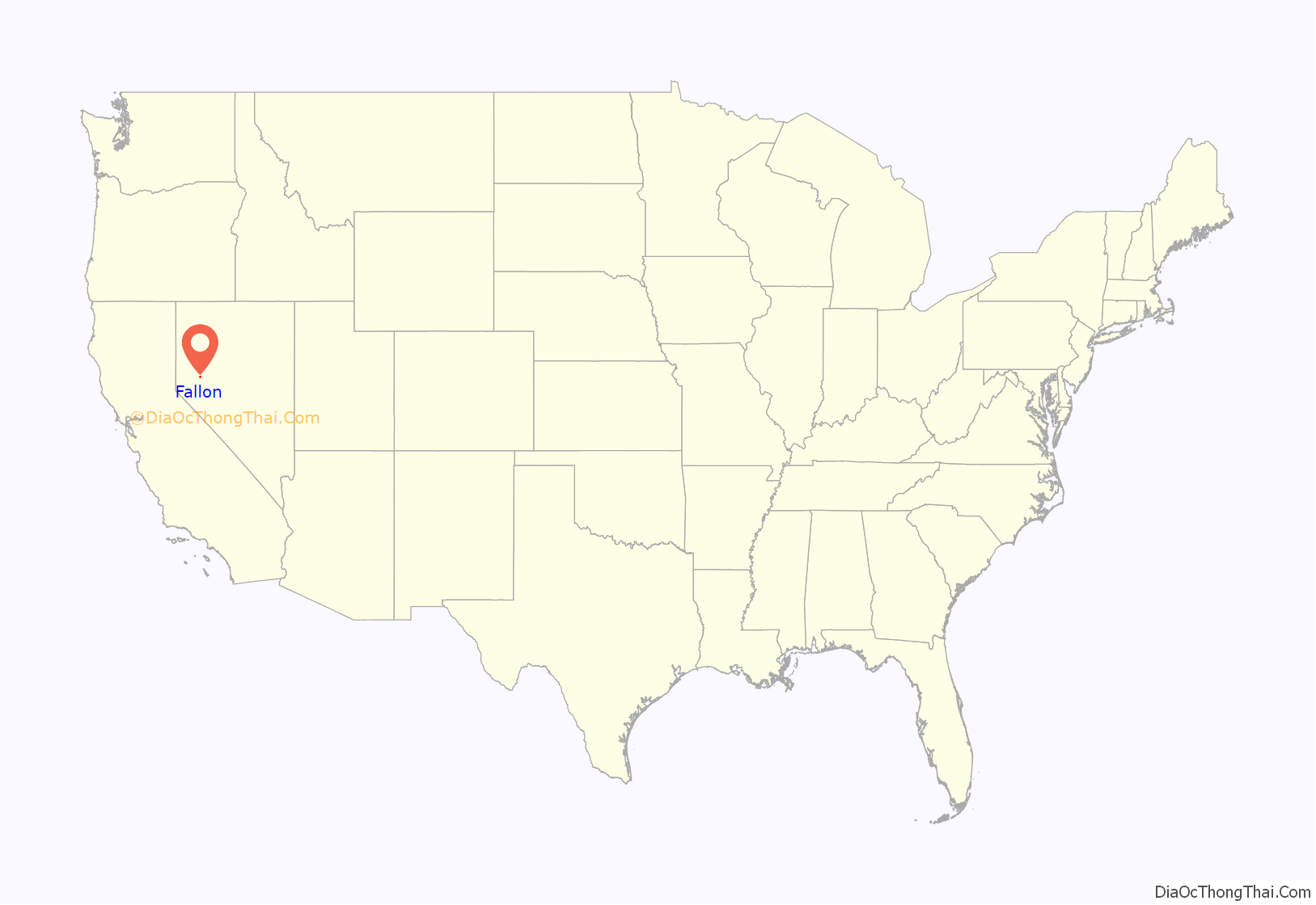
Fallon location map. Where is Fallon city?
History
The community was first populated during the California Gold Rush, because multiple would-be Forty-niners stopped after crossing the Carson River.
The town and post office were established on July 24, 1896, in a little shack belonging to Michael Fallon and Eliza Fallon, who operated a ranch at the site. Shortly afterwards, Jim Richards later operated a store near the post office.
The town was officially incorporated in 1908.
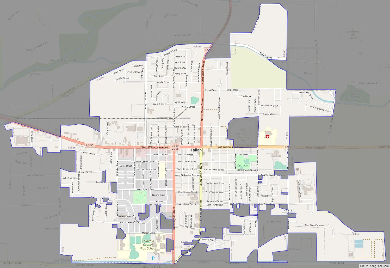
Lincoln Highway, the first transcontinental thoroughfare, passes through Fallon from east to west, following the original Pony Express trail. Today it is designated U.S. Highway 50, and eastward from Fallon is popularly known as The Loneliest Road in America, as it passes through only two towns and one small city between Fallon and the Utah state line, over 400 miles distant.
When U.S. Highway 95 (stretching between the U.S. borders with Canada and Mexico) was laid out in the 1930s, the highway north of town met Highway 50 at the northern end of what was then the town center (Maine Street). To avoid forcing traffic through town, there is a four-block “dogleg” on Highway 50 separating the north and south legs of Highway 95.
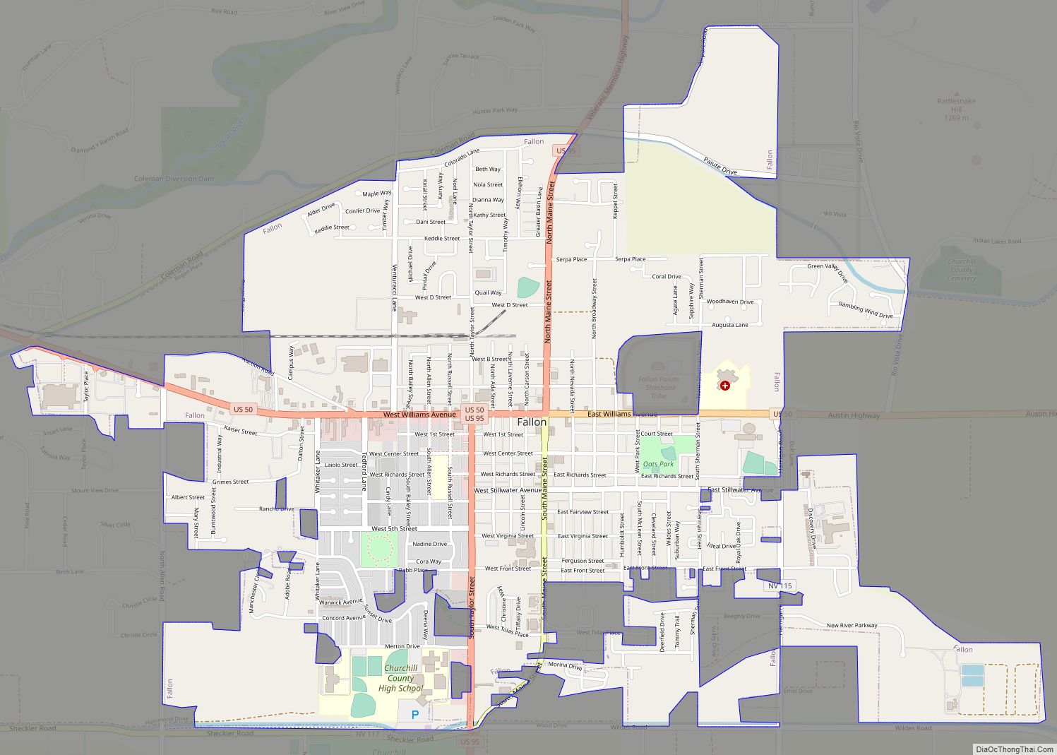
While the city has expanded greatly over the years, the “old town” area is several blocks of Maine Street. Many of the buildings here date back to the early 20th century, including the historic Fallon Theater, which is still in operation as of 2023.
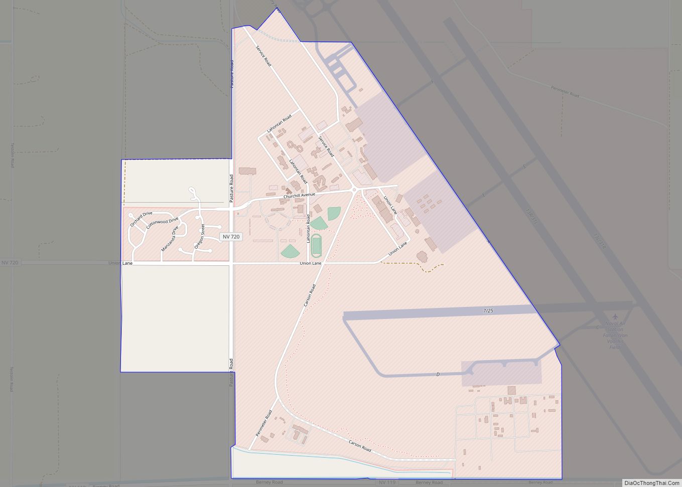
Naval Air Station Fallon, built in 1942, is southeast of the city center. Since 1996, NAS Fallon has been home to the U.S. Navy’s Navy Fighter Weapons School (popularly known as TOPGUN), using several flight training areas and practice ranges in the area.
On June 16, 2019, downtown (Maine Street) Fallon was listed in the National Register of Historic Places.
Fallon Road Map
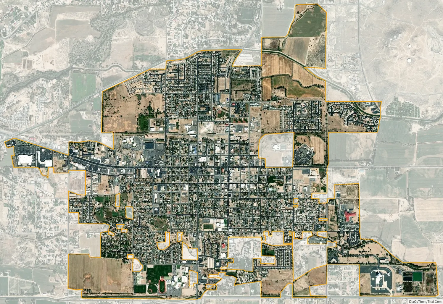
Fallon city Satellite Map
Geography
Fallon is located in western Churchill County at the geographic coordinates 39°28′22″N 118°46′44″W / 39.47278°N 118.77889°W / 39.47278; -118.77889 (39.472792, −118.778826). It is in the Lahontan Valley, a former lakebed into which flows the Carson River, which passes north of the city.
According to the United States Census Bureau, Fallon has a total area of 3.65 square miles (9.45 km), of which 3.63 square miles (9.41 km) is land and 0.02 square miles (0.05 km), or 0.49%, is water.
See also
Map of Nevada State and its subdivision: Map of other states:- Alabama
- Alaska
- Arizona
- Arkansas
- California
- Colorado
- Connecticut
- Delaware
- District of Columbia
- Florida
- Georgia
- Hawaii
- Idaho
- Illinois
- Indiana
- Iowa
- Kansas
- Kentucky
- Louisiana
- Maine
- Maryland
- Massachusetts
- Michigan
- Minnesota
- Mississippi
- Missouri
- Montana
- Nebraska
- Nevada
- New Hampshire
- New Jersey
- New Mexico
- New York
- North Carolina
- North Dakota
- Ohio
- Oklahoma
- Oregon
- Pennsylvania
- Rhode Island
- South Carolina
- South Dakota
- Tennessee
- Texas
- Utah
- Vermont
- Virginia
- Washington
- West Virginia
- Wisconsin
- Wyoming