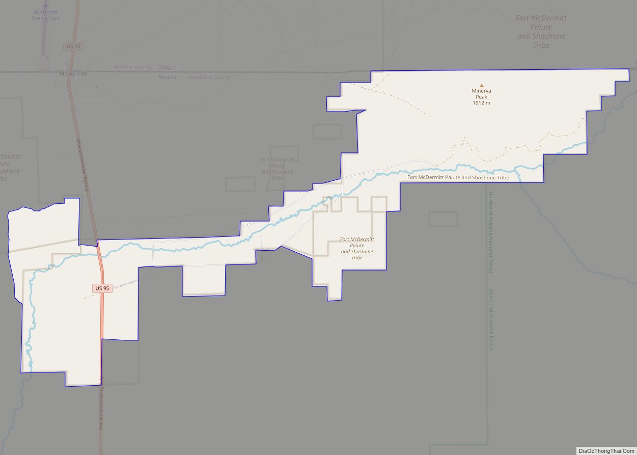
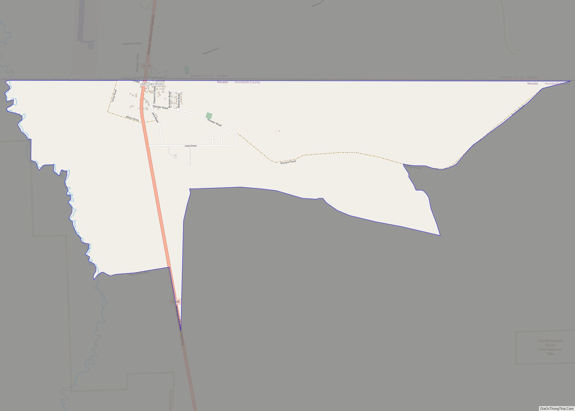
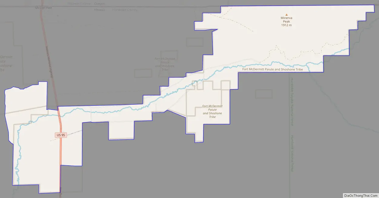
Fort McDermitt is a census-designated place (CDP) in Humboldt County, Nevada, United States. The population was 341 at the 2010 census. It overlaps the Fort McDermitt Indian Reservation and lies just south of the McDermitt CDP.
| Name: | Fort McDermitt CDP |
|---|---|
| LSAD Code: | 57 |
| LSAD Description: | CDP (suffix) |
| State: | Nevada |
| County: | Humboldt County |
| Elevation: | 4,587 ft (1,398 m) |
| Total Area: | 17.97 sq mi (46.54 km²) |
| Land Area: | 17.97 sq mi (46.54 km²) |
| Water Area: | 0.00 sq mi (0.00 km²) |
| Total Population: | 267 |
| Population Density: | 14.86/sq mi (5.74/km²) |
| Area code: | 775 |
| FIPS code: | 3225490 |
| GNISfeature ID: | 2583924 |
Online Interactive Map
Click on ![]() to view map in "full screen" mode.
to view map in "full screen" mode.
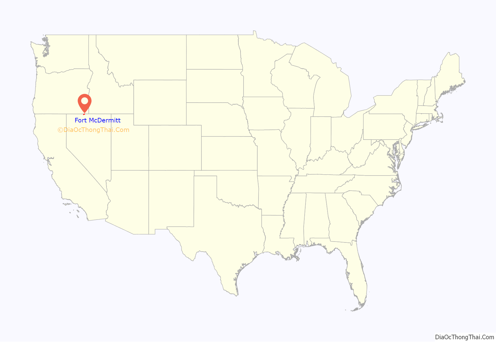
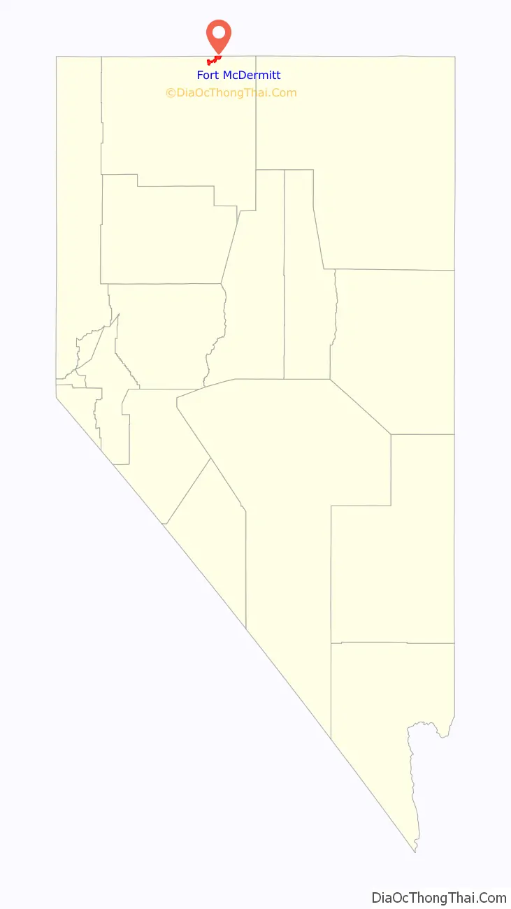
Fort McDermitt location map. Where is Fort McDermitt CDP?
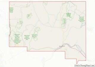
Fort McDermitt Road Map
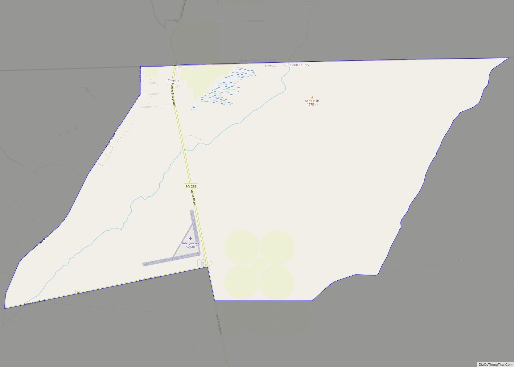
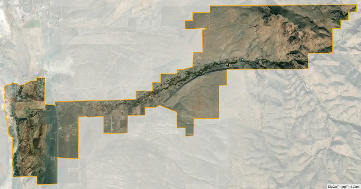
Fort McDermitt city Satellite Map
Geography
According to the United States Census Bureau, the Fort McDermitt CDP has an area of 17.9 square miles (46.4 km), all land. U.S. Route 95 runs through the CDP, leading north to Oregon and western Idaho and south 70 miles (110 km) to Winnemucca, Nevada.
See also
Map of Nevada State and its subdivision: Map of other states:- Alabama
- Alaska
- Arizona
- Arkansas
- California
- Colorado
- Connecticut
- Delaware
- District of Columbia
- Florida
- Georgia
- Hawaii
- Idaho
- Illinois
- Indiana
- Iowa
- Kansas
- Kentucky
- Louisiana
- Maine
- Maryland
- Massachusetts
- Michigan
- Minnesota
- Mississippi
- Missouri
- Montana
- Nebraska
- Nevada
- New Hampshire
- New Jersey
- New Mexico
- New York
- North Carolina
- North Dakota
- Ohio
- Oklahoma
- Oregon
- Pennsylvania
- Rhode Island
- South Carolina
- South Dakota
- Tennessee
- Texas
- Utah
- Vermont
- Virginia
- Washington
- West Virginia
- Wisconsin
- Wyoming