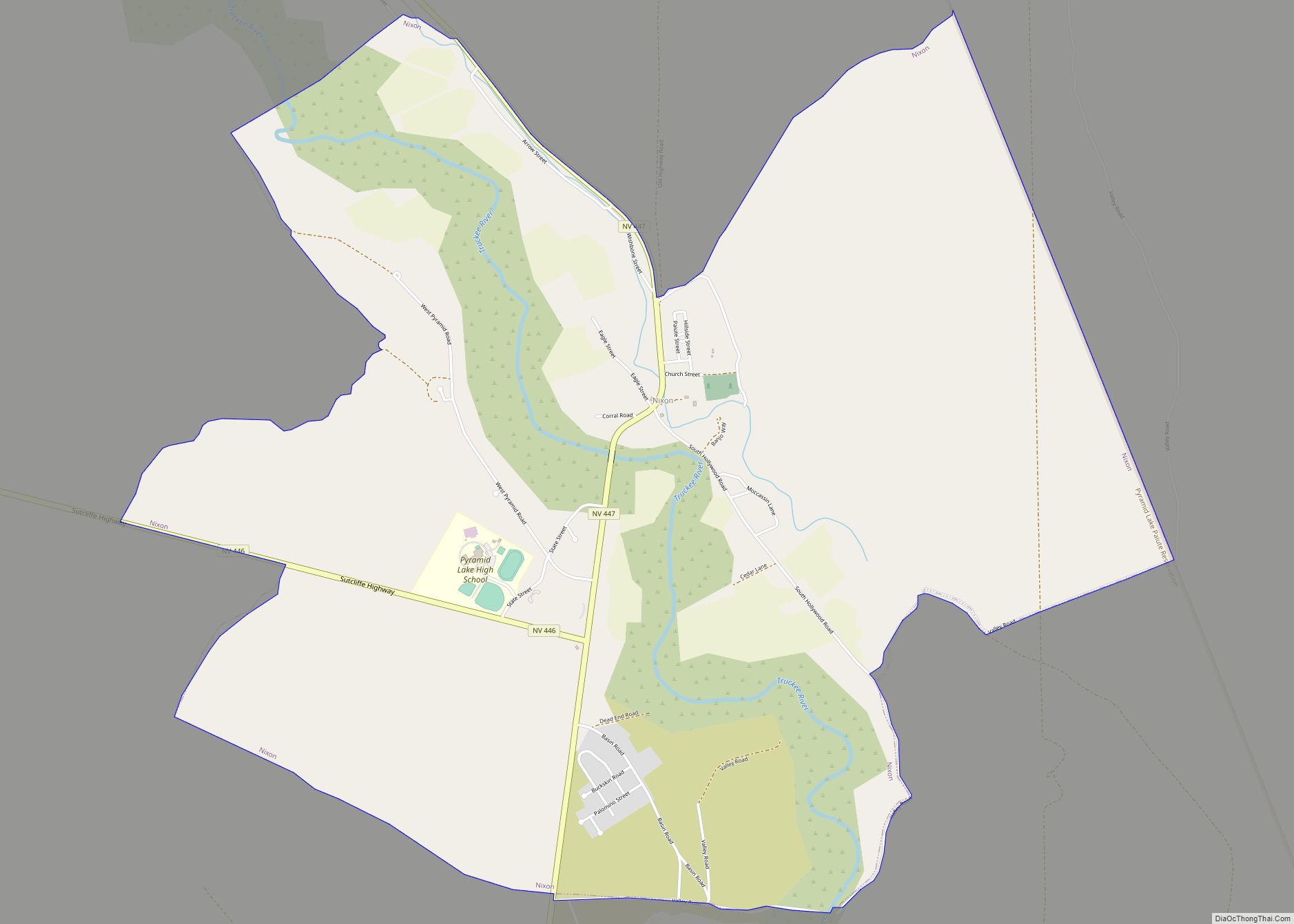
Gerlach, Nevada is a census-designated place (CDP) in Washoe County, Nevada, United States. The population was 107 at the 2018 American Community Survey. It is part of the Reno–Sparks Metropolitan Statistical Area. Prior to 2010, Gerlach was part of the Gerlach–Empire census-designated place. The town of Empire is now a separate CDP. The next nearest town, Nixon, is 60 miles (100 km) to the south on a reservation owned by the Pyramid Lake Paiute Tribe. The Fly Geyser is located near Gerlach.
| Name: | Gerlach CDP |
|---|---|
| LSAD Code: | 57 |
| LSAD Description: | CDP (suffix) |
| State: | Nevada |
| County: | Washoe County |
| Elevation: | 3,944 ft (1,202 m) |
| Total Area: | 3.13 sq mi (8.09 km²) |
| Land Area: | 3.13 sq mi (8.09 km²) |
| Water Area: | 0.00 sq mi (0.00 km²) |
| Total Population: | 130 |
| Population Density: | 41.60/sq mi (16.06/km²) |
| ZIP code: | 89412 |
| Area code: | 775 |
| FIPS code: | 3227300 |
| GNISfeature ID: | 845471 |
Online Interactive Map
Click on ![]() to view map in "full screen" mode.
to view map in "full screen" mode.
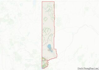
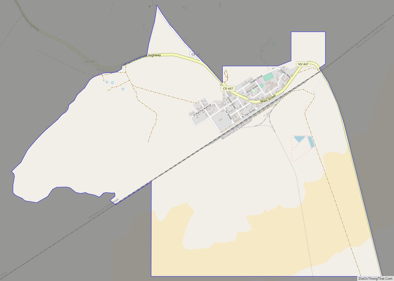
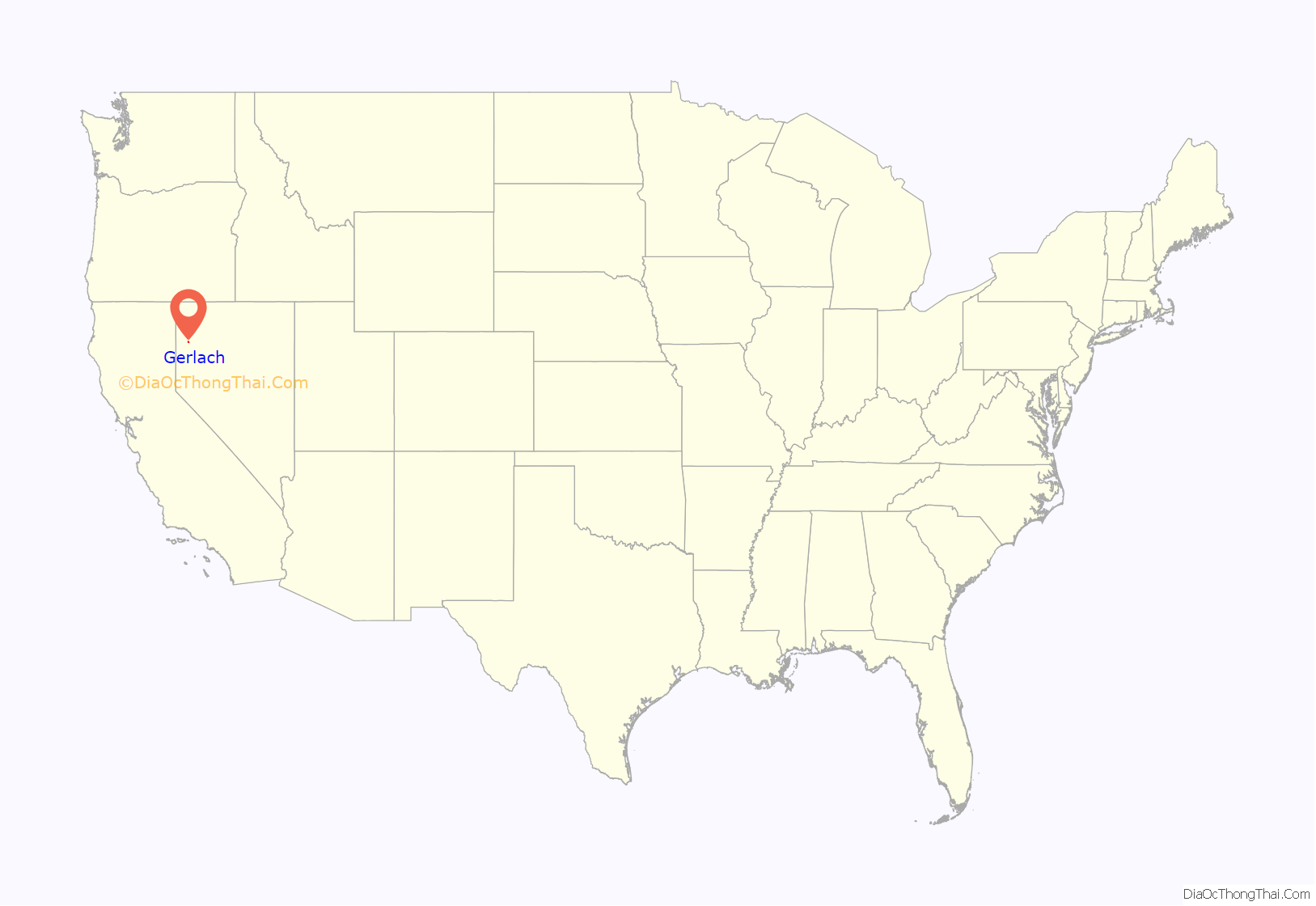
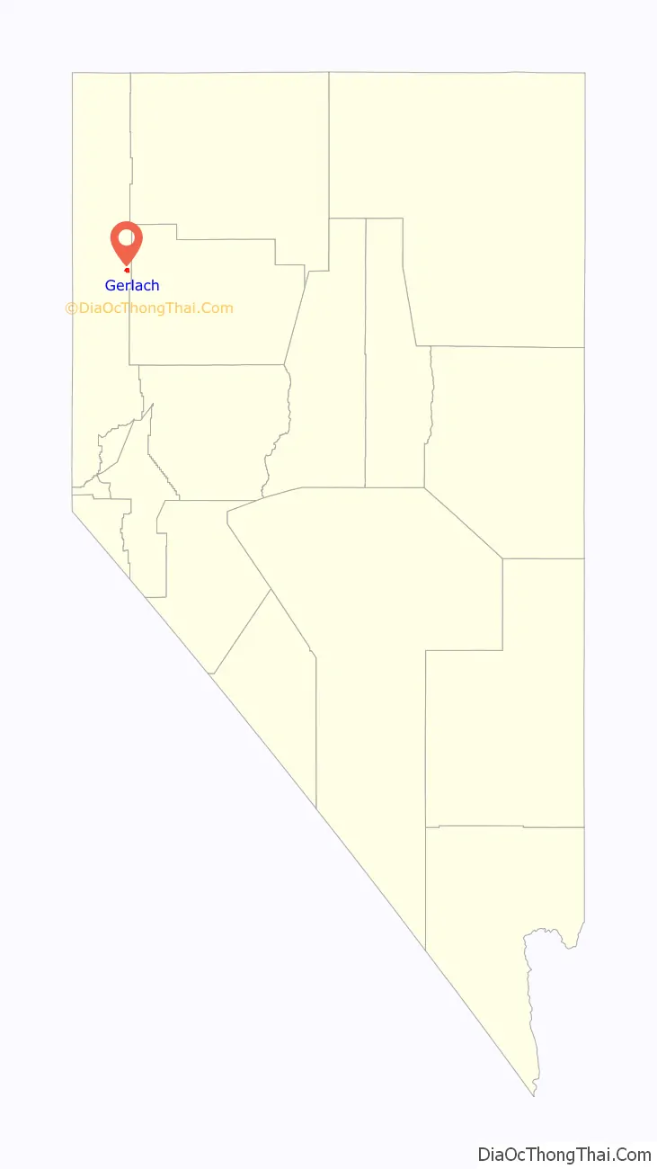
Gerlach location map. Where is Gerlach CDP?
History
Gerlach was founded in 1906 during the construction of the Western Pacific Railroad Feather River Route.
In 1997, the town and its homes and bars were used by the British team of the Thrust SSC supersonic car, as they pursued their goal of being the first to go faster than the speed of sound, which was achieved on October 15, 1997. The record still stands today. The Black Rock Saloon in the town kept track of the progress, given at the same time, Craig Breedlove attempted his own pursuit of the sound barrier. In 2017, several members of the former Thrust team revisited Gerlach for a reunion to mark the 20th anniversary.
In 2009, the Space Chair was lofted to near space north of Gerlach.
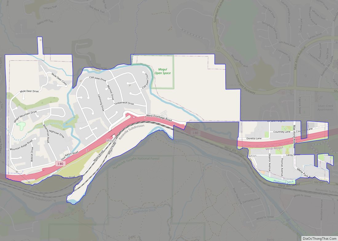
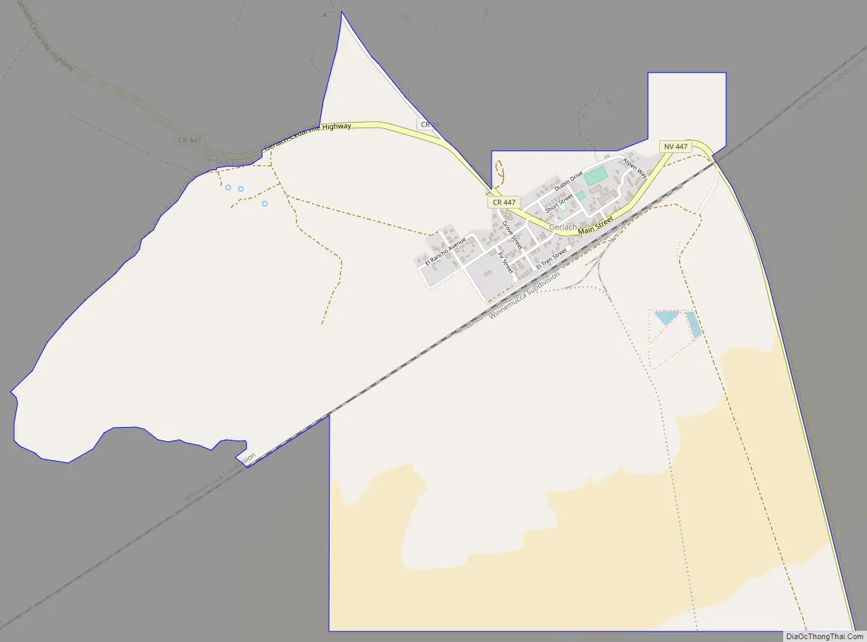
Gerlach Road Map
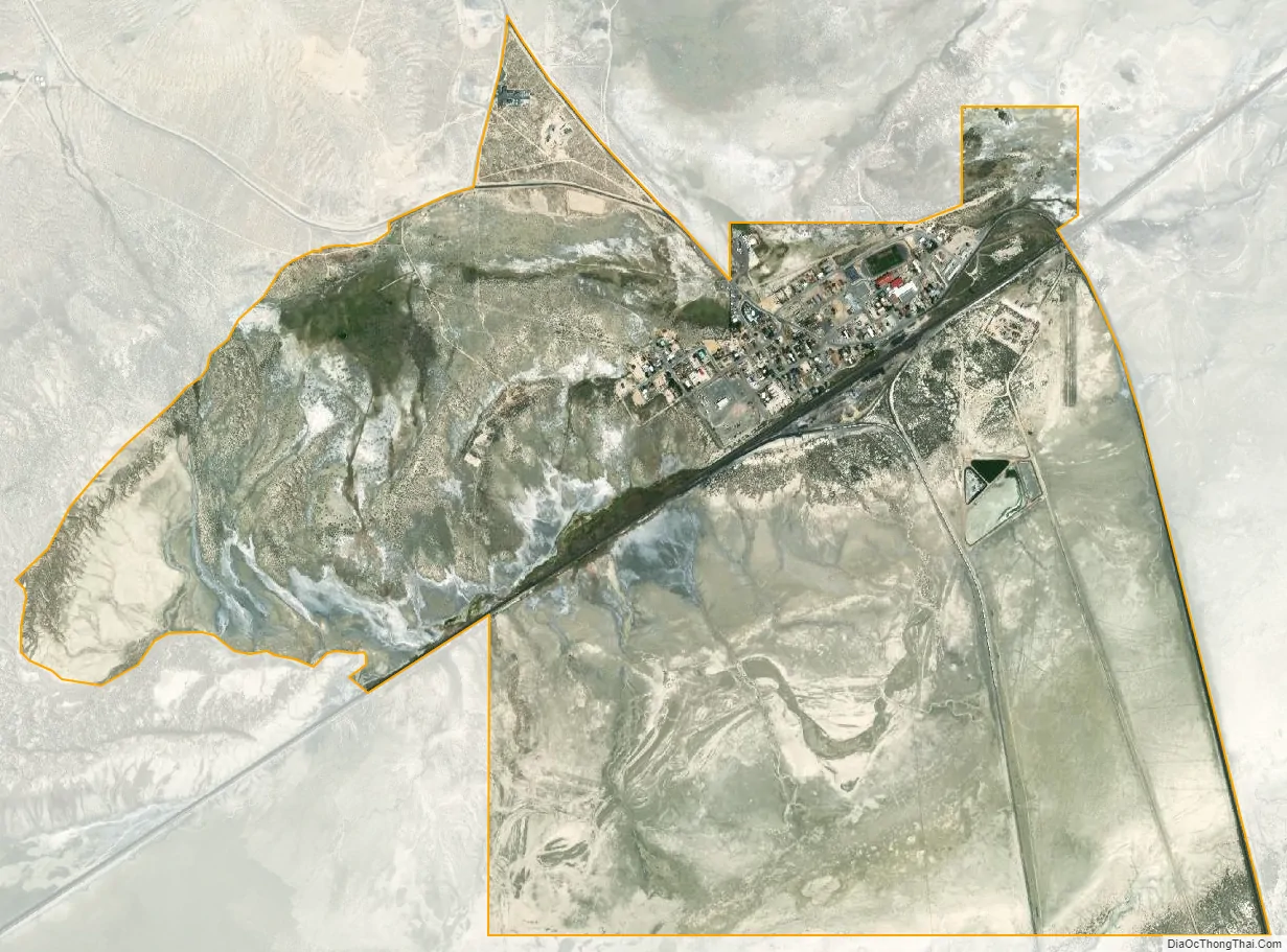
Gerlach city Satellite Map
Geography
According to the United States Census Bureau, the Gerlach CDP has a total area of 3.1 square miles (8.0 km), all land. Its elevation is 3,944 ft (1,202 m). Gerlach is approximately 100 miles (160 km) north of Reno, Nevada.
See also
Map of Nevada State and its subdivision: Map of other states:- Alabama
- Alaska
- Arizona
- Arkansas
- California
- Colorado
- Connecticut
- Delaware
- District of Columbia
- Florida
- Georgia
- Hawaii
- Idaho
- Illinois
- Indiana
- Iowa
- Kansas
- Kentucky
- Louisiana
- Maine
- Maryland
- Massachusetts
- Michigan
- Minnesota
- Mississippi
- Missouri
- Montana
- Nebraska
- Nevada
- New Hampshire
- New Jersey
- New Mexico
- New York
- North Carolina
- North Dakota
- Ohio
- Oklahoma
- Oregon
- Pennsylvania
- Rhode Island
- South Carolina
- South Dakota
- Tennessee
- Texas
- Utah
- Vermont
- Virginia
- Washington
- West Virginia
- Wisconsin
- Wyoming