Golconda is a census-designated place in southeastern Humboldt County, Nevada, United States. As of the 2020 census it has a population of 182. It is located along Interstate 80 on the Humboldt River in the northwestern part of the state. Golconda has a post office, which has been in operation since 1869.
| Name: | Golconda CDP |
|---|---|
| LSAD Code: | 57 |
| LSAD Description: | CDP (suffix) |
| State: | Nevada |
| County: | Humboldt County |
| Elevation: | 4,423 ft (1,348 m) |
| Total Area: | 1.69 sq mi (4.39 km²) |
| Land Area: | 1.69 sq mi (4.39 km²) |
| Water Area: | 0.00 sq mi (0.00 km²) |
| Total Population: | 182 |
| Population Density: | 107.50/sq mi (41.50/km²) |
| FIPS code: | 3228500 |
| GNISfeature ID: | 2583928 |
Online Interactive Map
Click on ![]() to view map in "full screen" mode.
to view map in "full screen" mode.
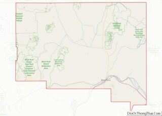
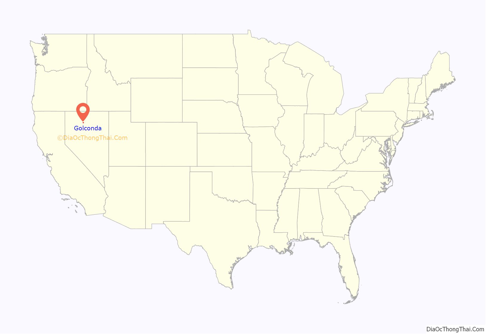
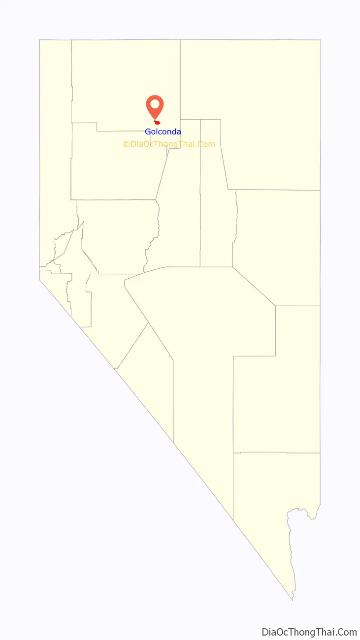
Golconda location map. Where is Golconda CDP?
History
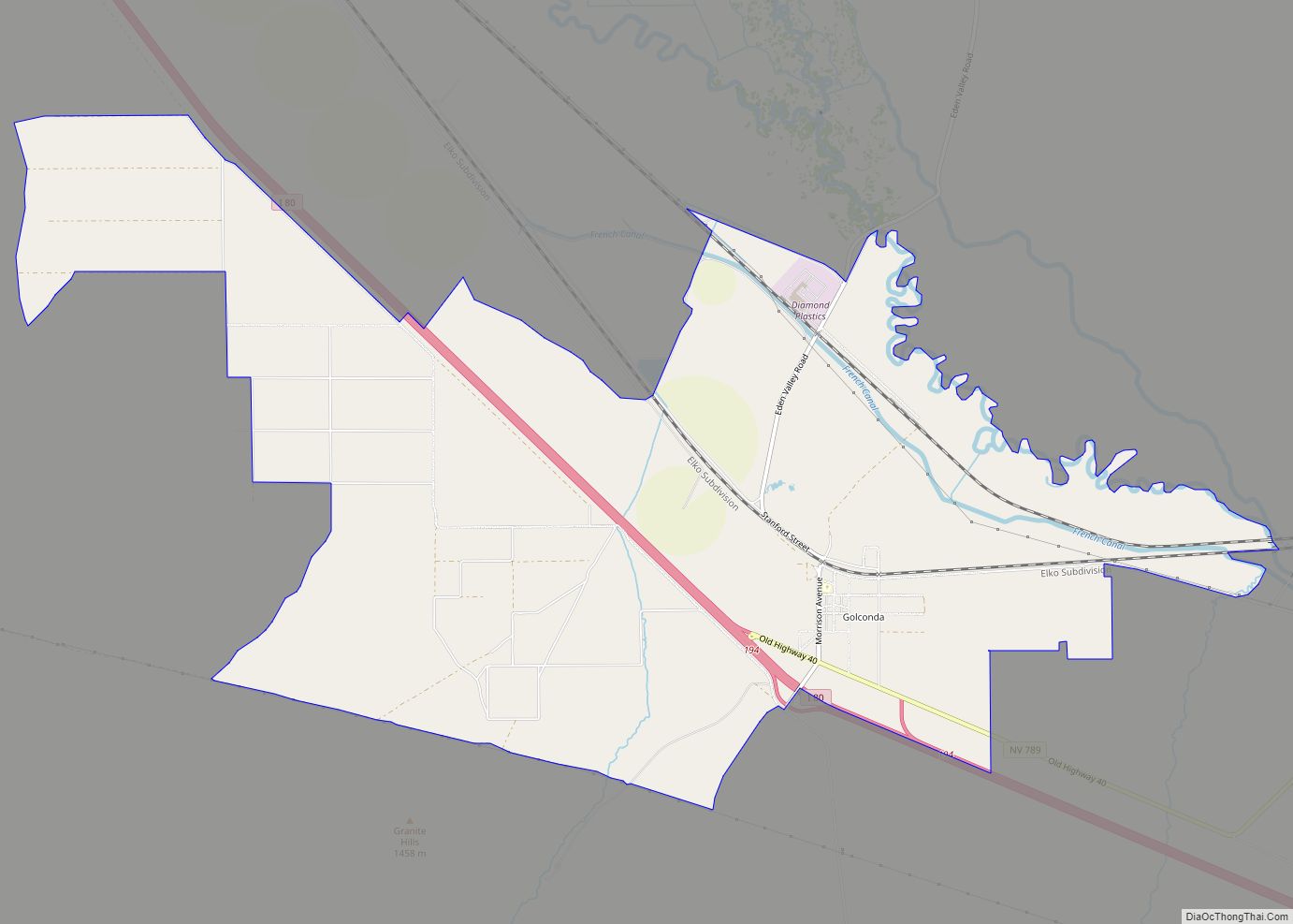
Golconda was founded in 1869. The community was named for the ancient diamond mining center of Golkonda in India. The settlement had its start when the discovery of copper, silver, gold, and lead brought entrepreneurs who opened mines and mills in the district. The town was a diverse society including both native-born European Americans as well as other groups including individuals of French, Portuguese, Paiute, and Chinese descent who all lived and worked in the small community. During 1898-1910, the town had a train depot, several hotels, a school, businesses, newspapers, and two brothels. Its population peaked at about six hundred in 1907-08. Although boosters predicted growth for Golconda, after 1910 the mines played out, leaving the region as an area of ranches and farms. Most of the town’s buildings from its mining heyday are gone, and Golconda today is a minor stop on Interstate 80.
Golconda Road Map
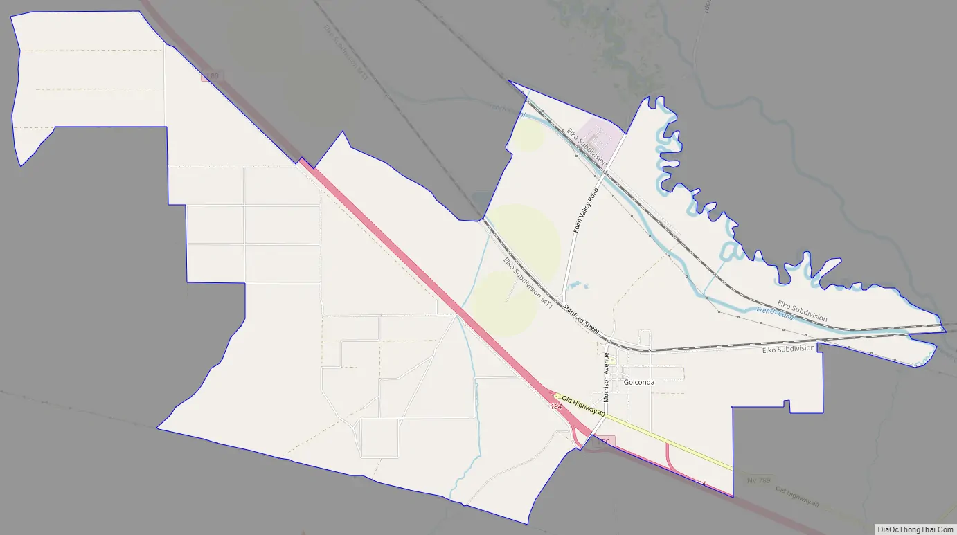
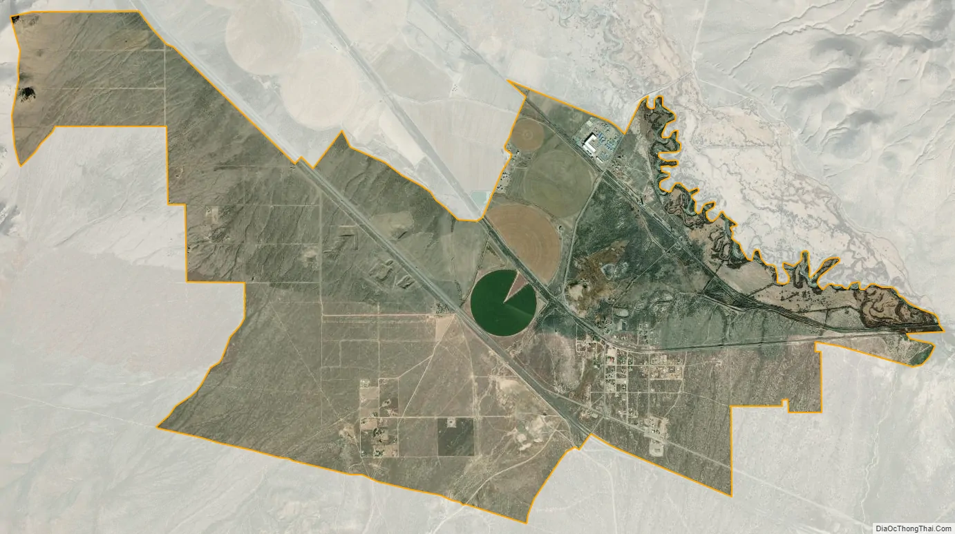
Golconda city Satellite Map
Geography
The community lies at an elevation of approximately 4,350 feet (1,330 m) 12 mi (19 km) east of Winnemucca across the Sonoma Range and 5.7 mi (9.2 km) west of Golconda Summit, a nearby mountain pass on Edna Mountain. The Osgood Mountains lie across the Humboldt River to the north.
According to the United States Census Bureau, the Golconda CDP has an area of 9.0 square miles (23.4 km), all land.
See also
Map of Nevada State and its subdivision: Map of other states:- Alabama
- Alaska
- Arizona
- Arkansas
- California
- Colorado
- Connecticut
- Delaware
- District of Columbia
- Florida
- Georgia
- Hawaii
- Idaho
- Illinois
- Indiana
- Iowa
- Kansas
- Kentucky
- Louisiana
- Maine
- Maryland
- Massachusetts
- Michigan
- Minnesota
- Mississippi
- Missouri
- Montana
- Nebraska
- Nevada
- New Hampshire
- New Jersey
- New Mexico
- New York
- North Carolina
- North Dakota
- Ohio
- Oklahoma
- Oregon
- Pennsylvania
- Rhode Island
- South Carolina
- South Dakota
- Tennessee
- Texas
- Utah
- Vermont
- Virginia
- Washington
- West Virginia
- Wisconsin
- Wyoming