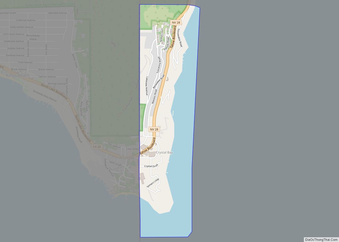
Incline Village is a census-designated place (CDP) on the north shore of Lake Tahoe in Washoe County, Nevada, United States. The population was 8,777 at the 2010 census. It is part of the Reno−Sparks Metropolitan Statistical Area. Until the 2010 census, the CDP Crystal Bay, Nevada was counted jointly with Incline Village.
Sierra Nevada University’s main campus is located in Incline Village. It has some of the most expensive real estate in the United States.
| Name: | Incline Village CDP |
|---|---|
| LSAD Code: | 57 |
| LSAD Description: | CDP (suffix) |
| State: | Nevada |
| County: | Washoe County |
| Elevation: | 6,350 ft (1,940 m) |
| Total Area: | 21.66 sq mi (56.11 km²) |
| Land Area: | 21.51 sq mi (55.71 km²) |
| Water Area: | 0.15 sq mi (0.39 km²) |
| Total Population: | 9,462 |
| Population Density: | 439.87/sq mi (169.84/km²) |
| ZIP code: | 89451 |
| Area code: | 775 |
| FIPS code: | 3235100 |
| GNISfeature ID: | 2652365 |
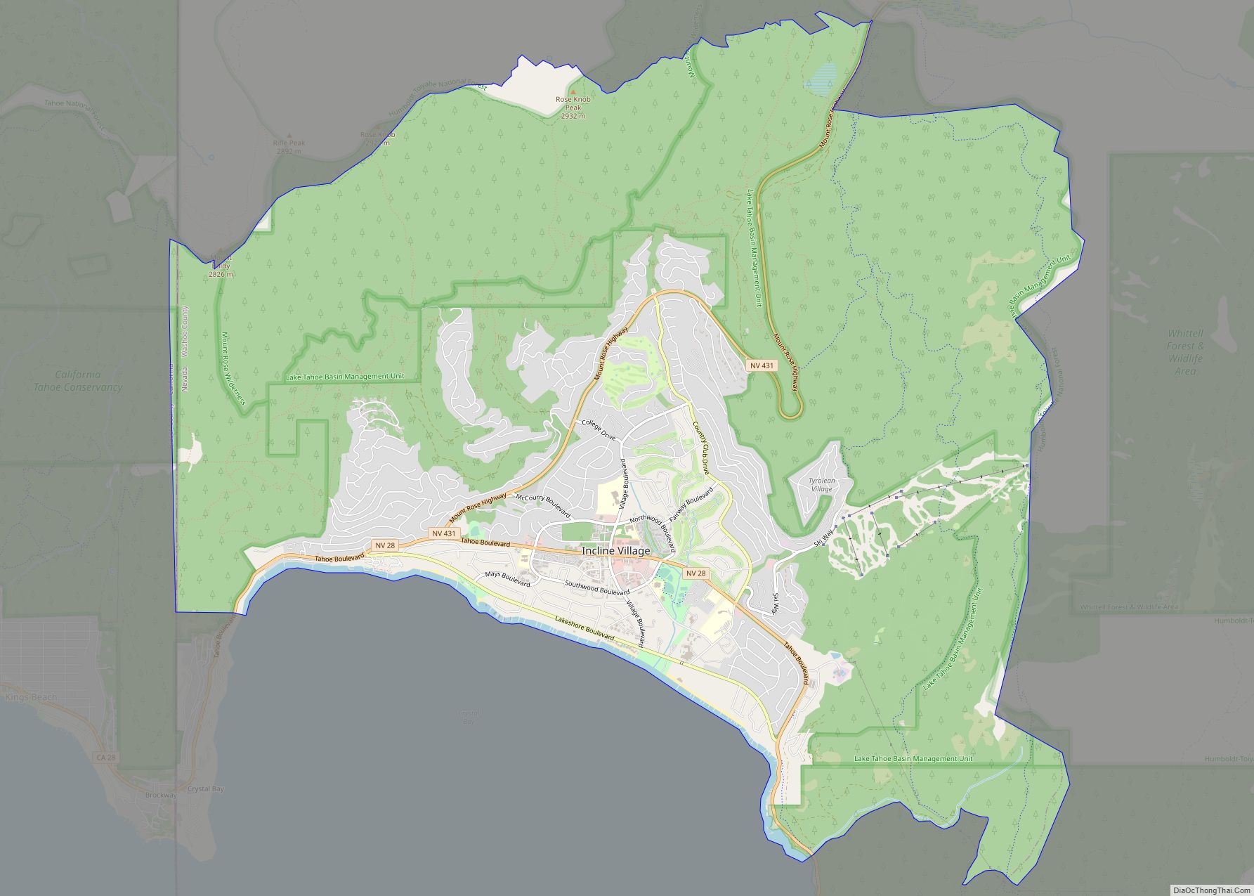
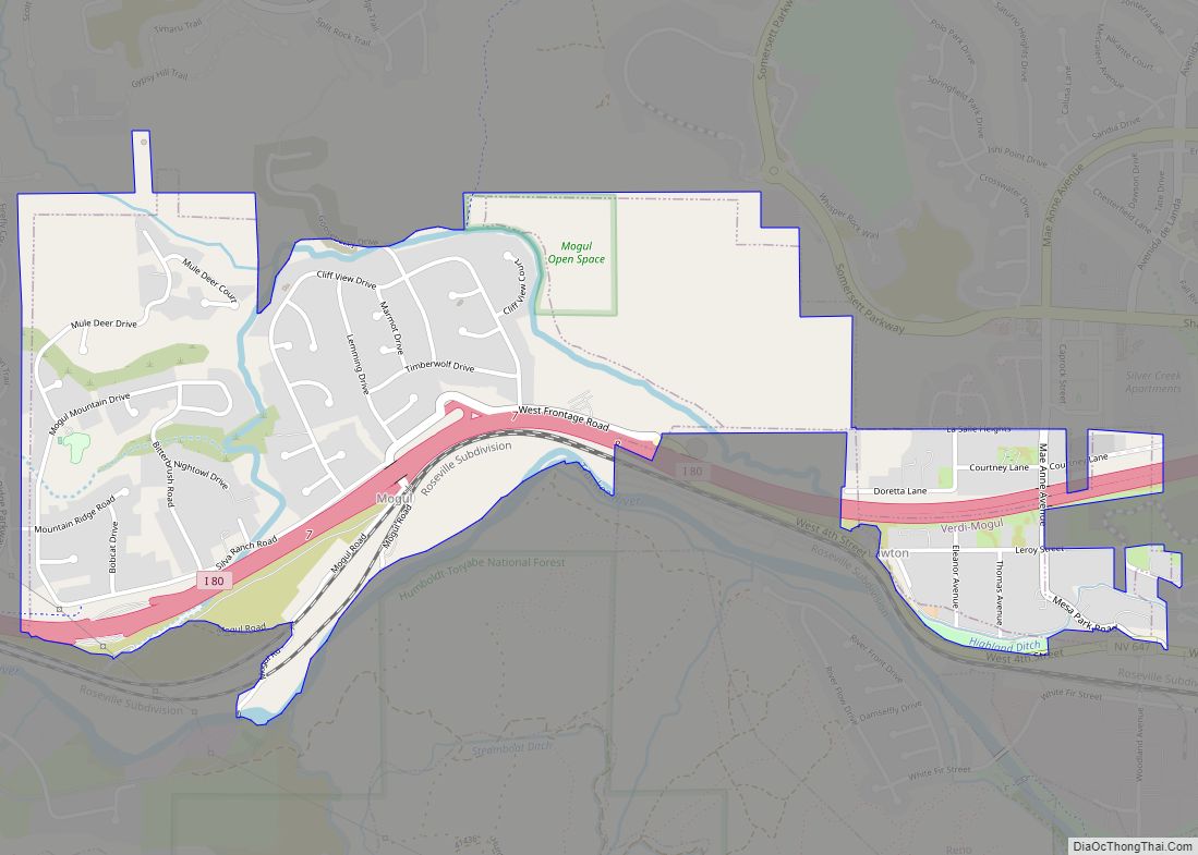
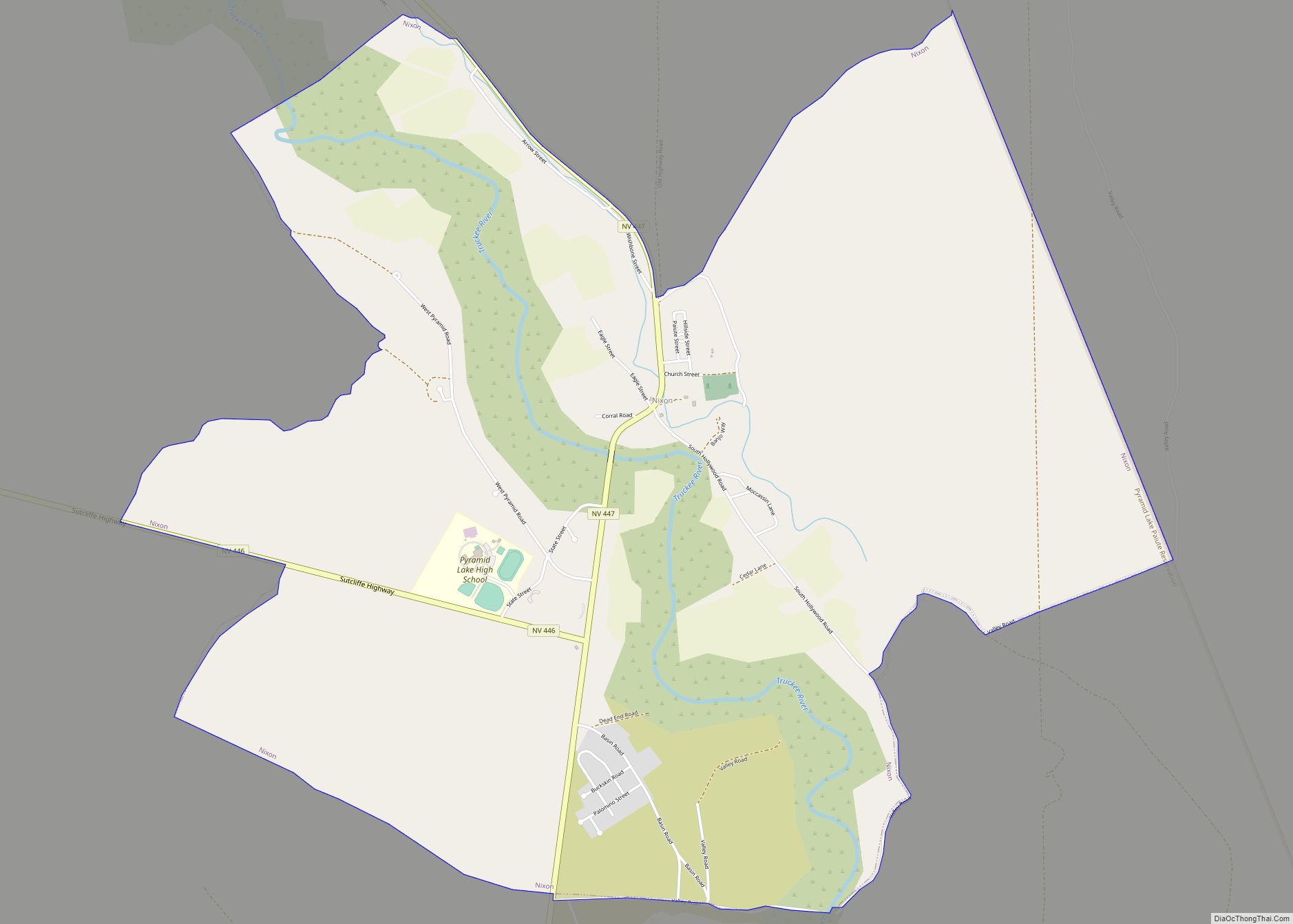
Online Interactive Map
Click on ![]() to view map in "full screen" mode.
to view map in "full screen" mode.
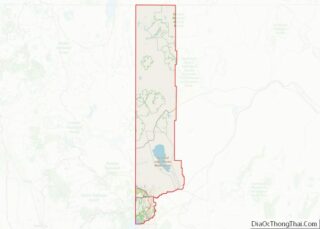
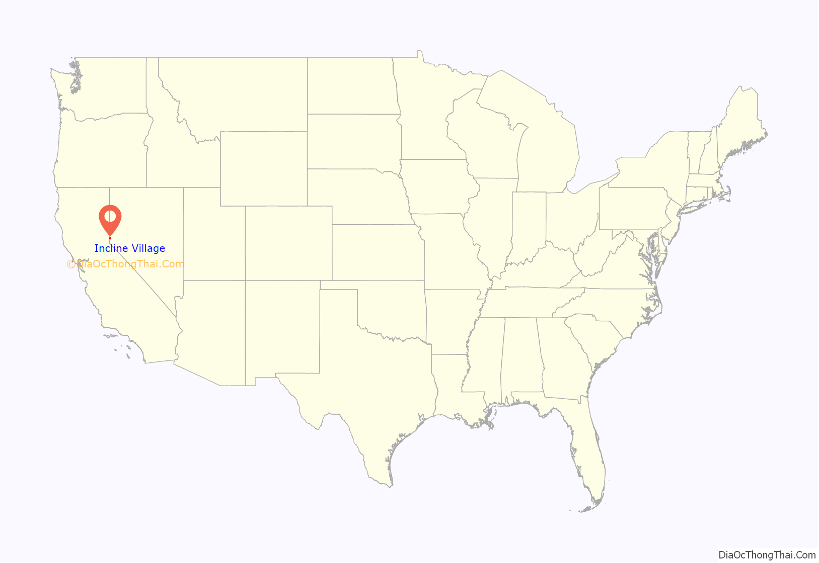
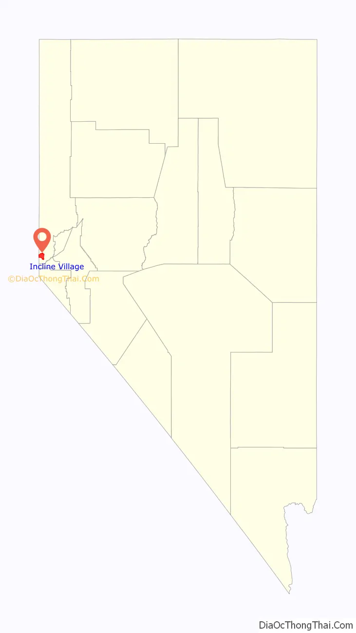
Incline Village location map. Where is Incline Village CDP?
History
Incline Village was established in 1882 with a post office opening February 7, 1884.
Sierra Nevada Wood and Lumber Company
The Sierra Nevada Wood and Lumber Company (SNW&L) was a logging company that operated on the northeast side of Lake Tahoe at what is today known as Incline Village, which was named after the SNW&L incline railway that served the area. Timber was required for the mines during the mining boom in the late 1800s of the nearby Comstock Lode in Virginia City. The timber around Lake Tahoe was placed on the incline railway where it was taken up 1,400 feet (430 m) and then dropped by a gravity flume down the western side of mountain to a 3,000 feet (910 m) tunnel to Carson City. The company operated a number of other railroad lines that were 3 ft (914 mm) narrow gauge and standard gauge.
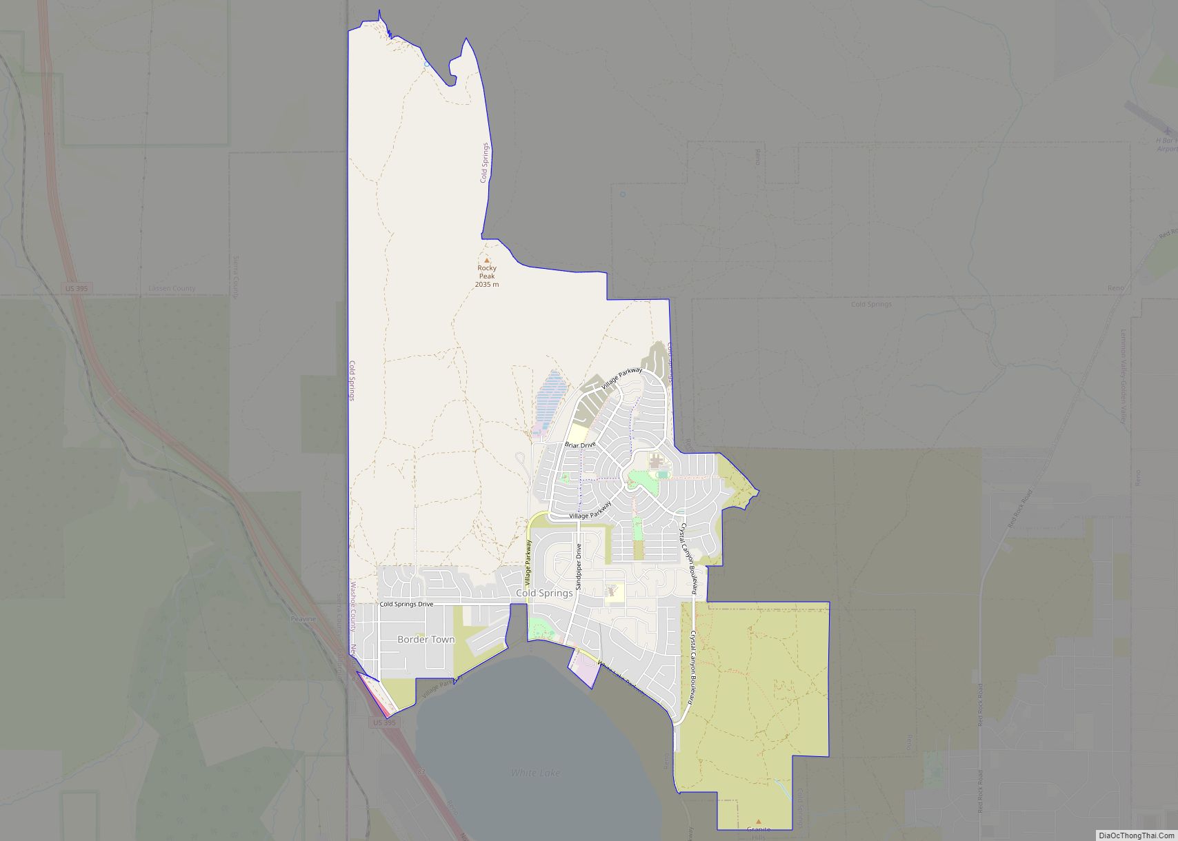
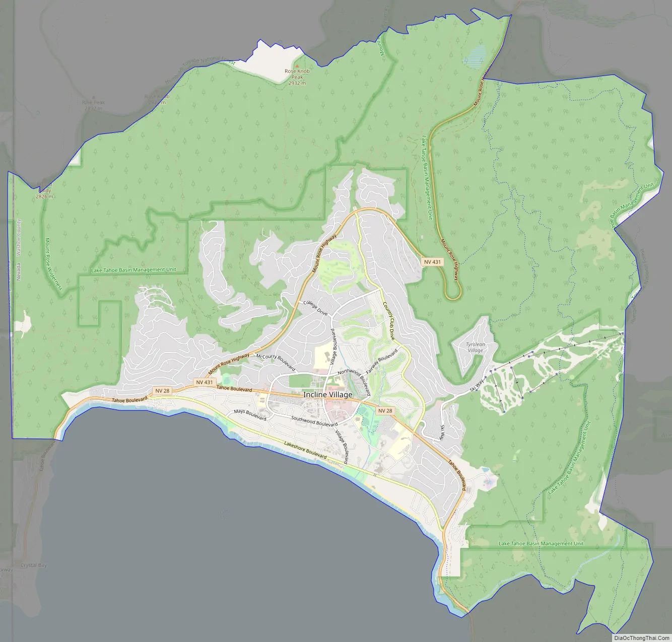
Incline Village Road Map
Incline Village city Satellite Map
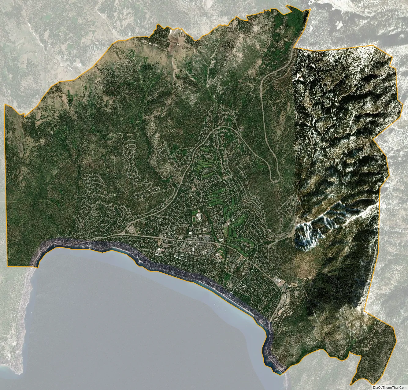
Geography
The town center is 6,350 feet (1,940 m) above sea level.
According to the United States Census Bureau, the CDP has a total area of 21.7 square miles (56.3 km), of which 21.5 square miles (55.8 km) is land and 0.19 square miles (0.5 km), or 0.97%, is water.
Several creeks cross Incline Village on the way to Crystal Bay in Lake Tahoe. Heading east from Stateline Point, these include First, Second and Third Creeks, then Incline Creek and finally Mill Creek at the eastern end.
See also
Map of Nevada State and its subdivision: Map of other states:- Alabama
- Alaska
- Arizona
- Arkansas
- California
- Colorado
- Connecticut
- Delaware
- District of Columbia
- Florida
- Georgia
- Hawaii
- Idaho
- Illinois
- Indiana
- Iowa
- Kansas
- Kentucky
- Louisiana
- Maine
- Maryland
- Massachusetts
- Michigan
- Minnesota
- Mississippi
- Missouri
- Montana
- Nebraska
- Nevada
- New Hampshire
- New Jersey
- New Mexico
- New York
- North Carolina
- North Dakota
- Ohio
- Oklahoma
- Oregon
- Pennsylvania
- Rhode Island
- South Carolina
- South Dakota
- Tennessee
- Texas
- Utah
- Vermont
- Virginia
- Washington
- West Virginia
- Wisconsin
- Wyoming