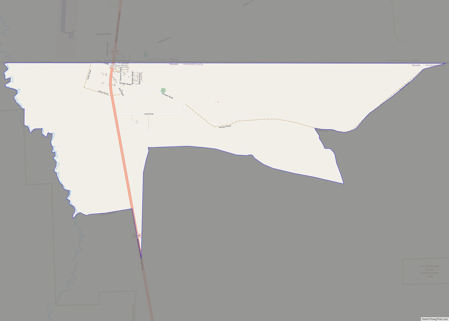
McDermitt is an unincorporated community straddling the Nevada–Oregon border, in Humboldt County, Nevada, and Malheur County, Oregon, United States. McDermitt’s economy has historically been based on mining, ranching, and farming. The last mining operation closed in 1990, resulting in a steady decline in population.
As of the 2010 census, the combined population was 513. Seventy-five percent of the residents were American Indian, predominantly Northern Paiute of the Fort McDermitt Indian Reservation, whose members include Shoshone people.
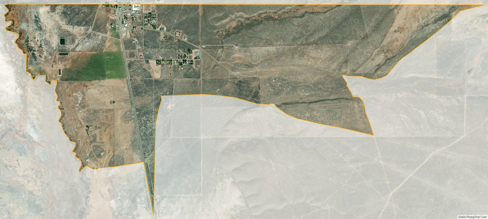
| Name: | McDermitt CDP |
|---|---|
| LSAD Code: | 57 |
| LSAD Description: | CDP (suffix) |
| State: | Nevada |
| County: | Humboldt County |
| Elevation: | 4,432 ft (1,351 m) |
| Total Area: | 1.57 sq mi (4.06 km²) |
| Land Area: | 1.57 sq mi (4.06 km²) |
| Water Area: | 0.00 sq mi (0.00 km²) |
| Total Population: | 124 |
| Population Density: | 79.13/sq mi (30.56/km²) |
| ZIP code: | 89421 (NV) and 89425 (OR) |
| Area code: | Area code 775 (NV), 458 and 541 (OR) |
| FIPS code: | 3244000 |
| GNISfeature ID: | 0845557 |
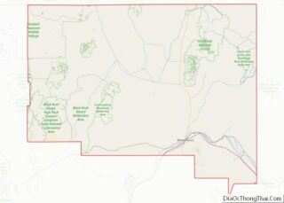
Online Interactive Map
Click on ![]() to view map in "full screen" mode.
to view map in "full screen" mode.
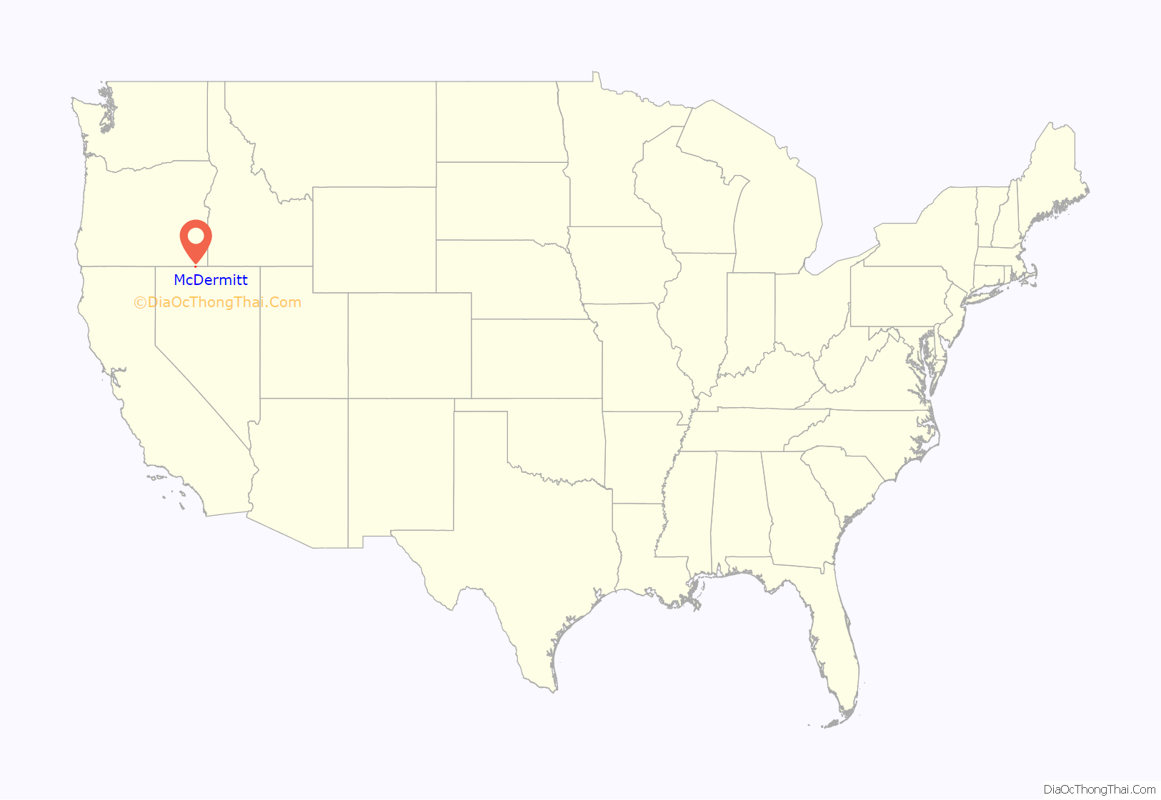
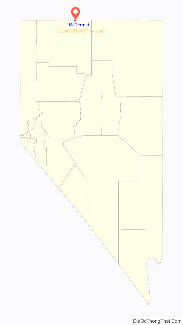
McDermitt location map. Where is McDermitt CDP?
History
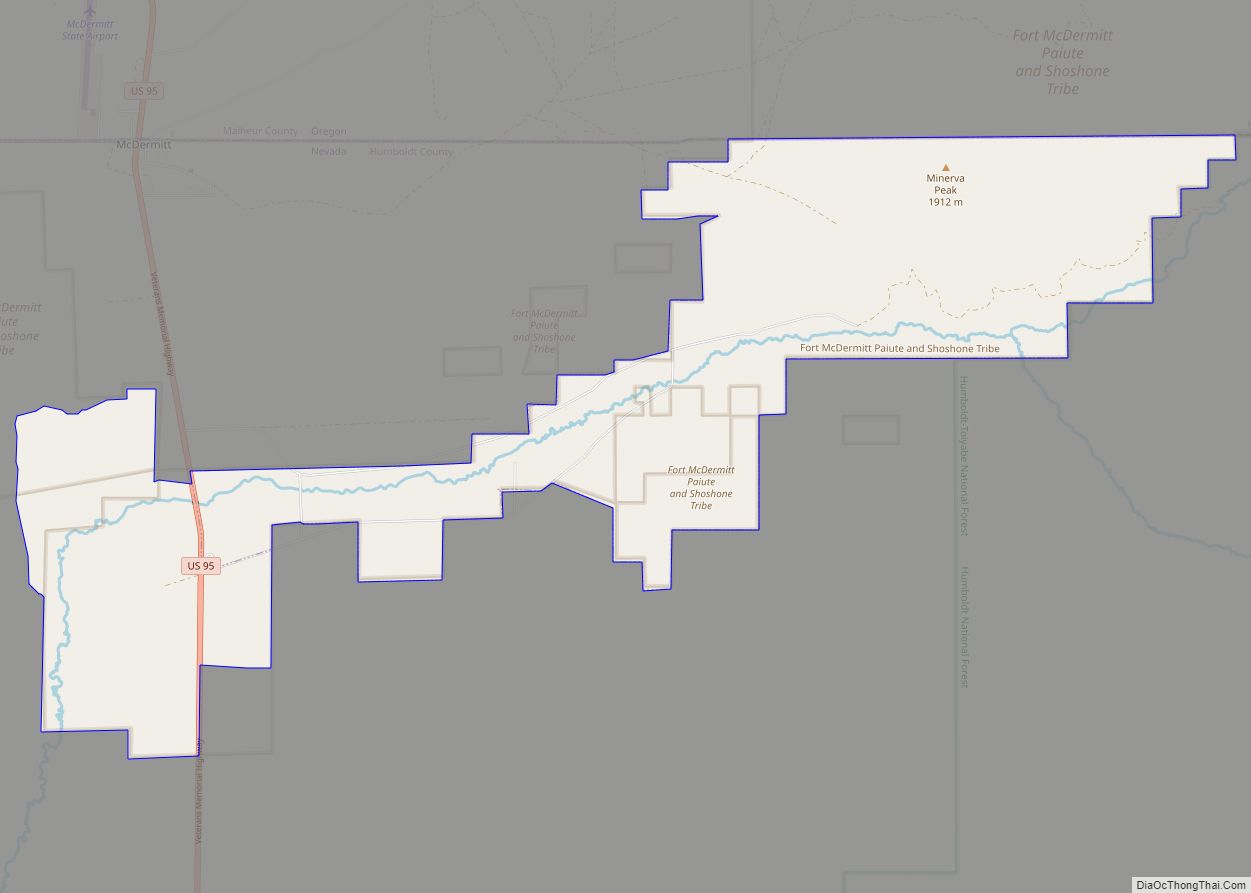
The community, originally called Dugout, was named after Fort McDermit. It was named after Lt. Col. Charles McDermit, commander of the Military District of Nevada, who was killed by Native Americans in a skirmish in the area in 1865. It is not known why there is a discrepancy in the spelling. Fort McDermit, which was five miles (8.0 km) outside the current township, was originally established to protect the stagecoach route from Virginia City through Winnemucca to Silver City, Idaho Territory. The stage road was the military’s most important transportation route in southeast Oregon. The township of Dugout was established as support for Fort McDermit.
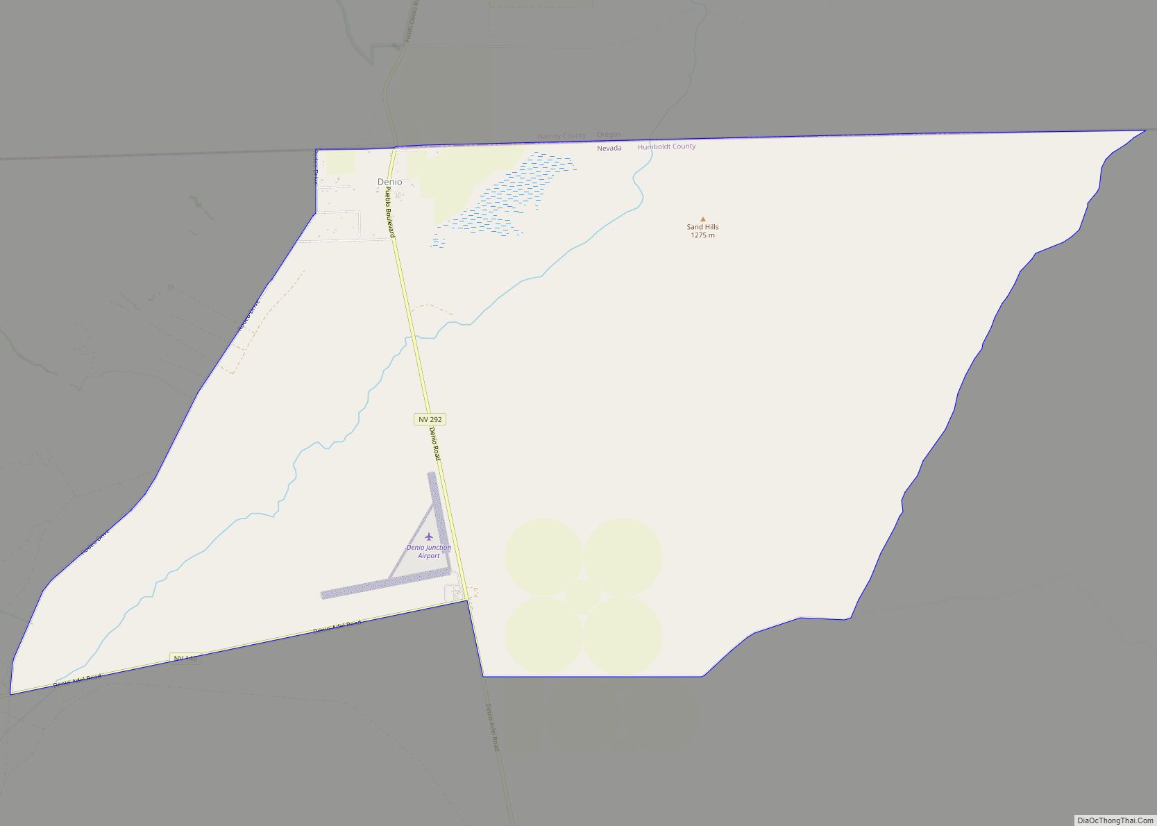
McDermitt Road Map
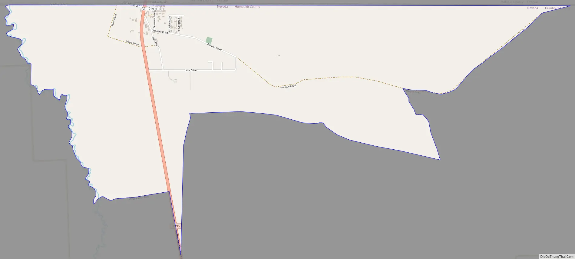
McDermitt city Satellite Map
Geography
The community is on U.S. Highway 95, 73 miles (117 km) north of Winnemucca. The elevation of McDermitt is 4,432 feet (1,351 m) above sea level.
McDermitt is in the Oregon High Desert with a desert climate (Köppen climate classification BSk), averaging 9.2 inches (230 mm) of rain annually with hot, dry summers and cold winters. Most precipitation (47%) occurs from March through June. About 23% occurs from September through November, and 25% from December through February, much as snow.
The McDermitt area boasts the longest climatic record in Nevada, with data beginning in 1866. The earliest Nevada climate stations were at Army posts. The U.S. Army Signal Corps was responsible for weather duty in the late 19th century and established the National Weather Service in 1870.
See also
Map of Nevada State and its subdivision: Map of other states:- Alabama
- Alaska
- Arizona
- Arkansas
- California
- Colorado
- Connecticut
- Delaware
- District of Columbia
- Florida
- Georgia
- Hawaii
- Idaho
- Illinois
- Indiana
- Iowa
- Kansas
- Kentucky
- Louisiana
- Maine
- Maryland
- Massachusetts
- Michigan
- Minnesota
- Mississippi
- Missouri
- Montana
- Nebraska
- Nevada
- New Hampshire
- New Jersey
- New Mexico
- New York
- North Carolina
- North Dakota
- Ohio
- Oklahoma
- Oregon
- Pennsylvania
- Rhode Island
- South Carolina
- South Dakota
- Tennessee
- Texas
- Utah
- Vermont
- Virginia
- Washington
- West Virginia
- Wisconsin
- Wyoming