Nixon is a census-designated place (CDP) in Washoe County, Nevada, USA. The population was 374 at the 2010 census. It is part of the Reno–Sparks Metropolitan Statistical Area. It is the seat of tribal government of the Paiute Pyramid Lake Indian Reservation and home to the tribe’s Museum and Visitor Center.
| Name: | Nixon CDP |
|---|---|
| LSAD Code: | 57 |
| LSAD Description: | CDP (suffix) |
| State: | Nevada |
| County: | Washoe County |
| Elevation: | 3,914 ft (1,193 m) |
| Total Area: | 6.33 sq mi (16.39 km²) |
| Land Area: | 6.33 sq mi (16.39 km²) |
| Water Area: | 0.00 sq mi (0.00 km²) |
| Total Population: | 464 |
| Population Density: | 73.34/sq mi (28.31/km²) |
| ZIP code: | 89424 |
| Area code: | 775 |
| FIPS code: | 3251200 |
| GNISfeature ID: | 0858114 |
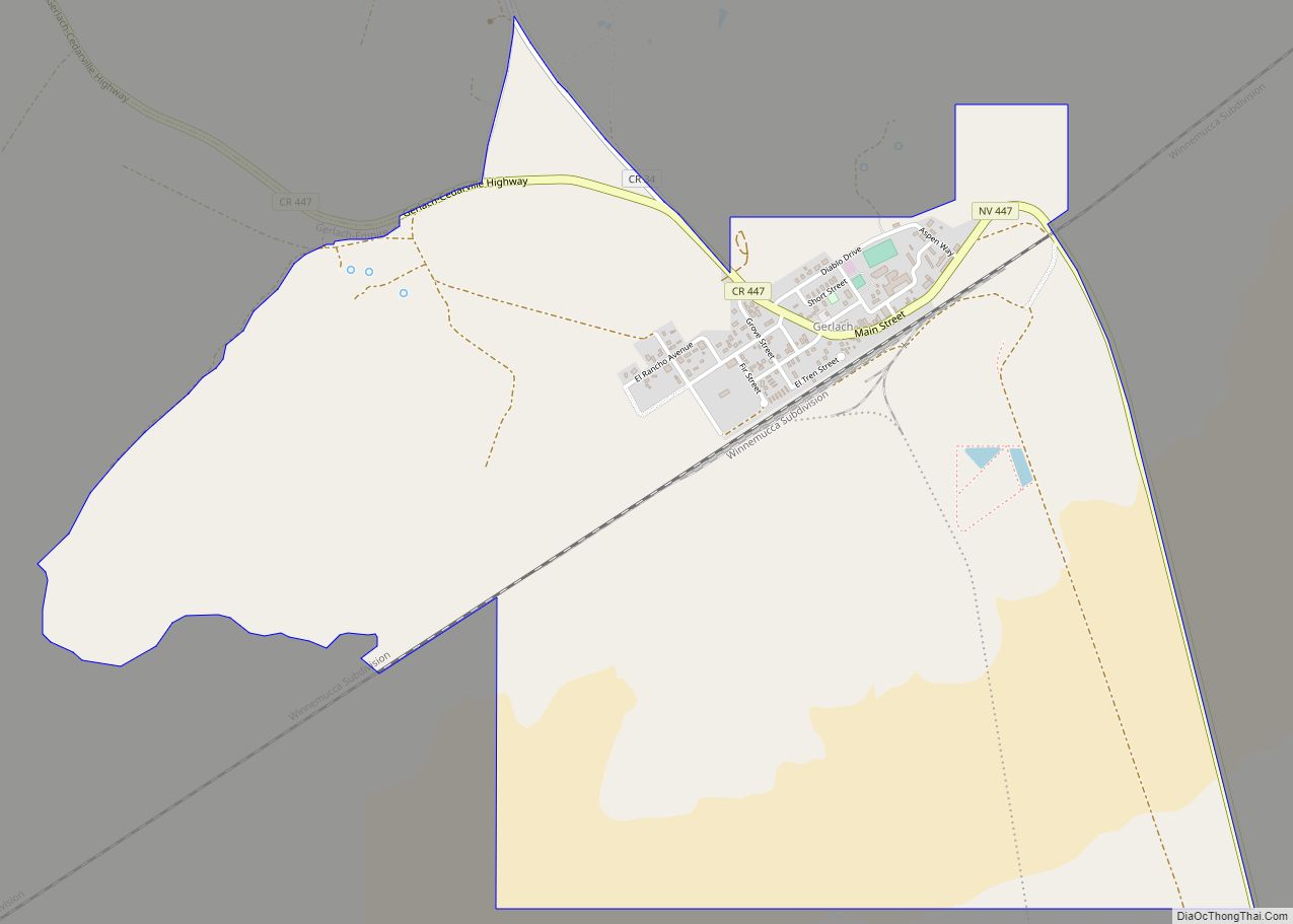
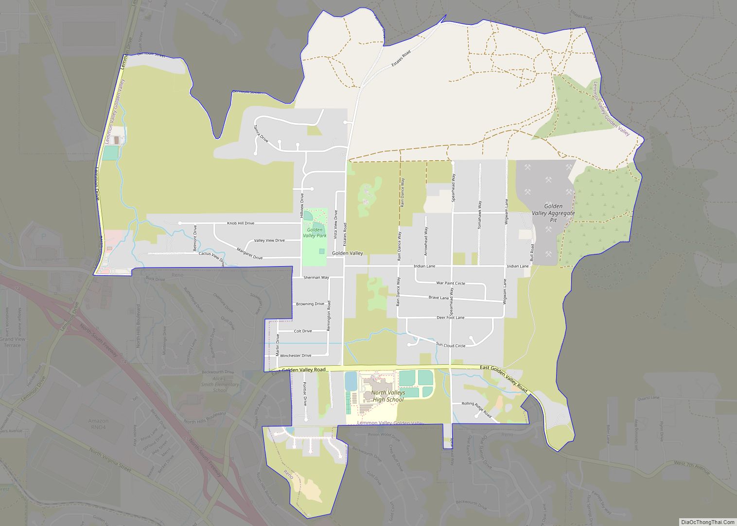
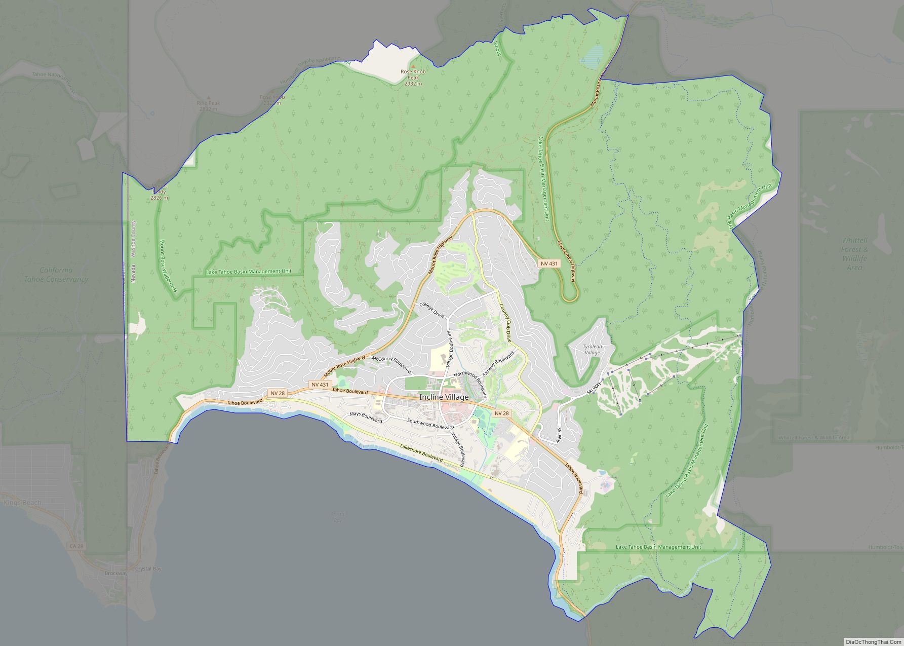
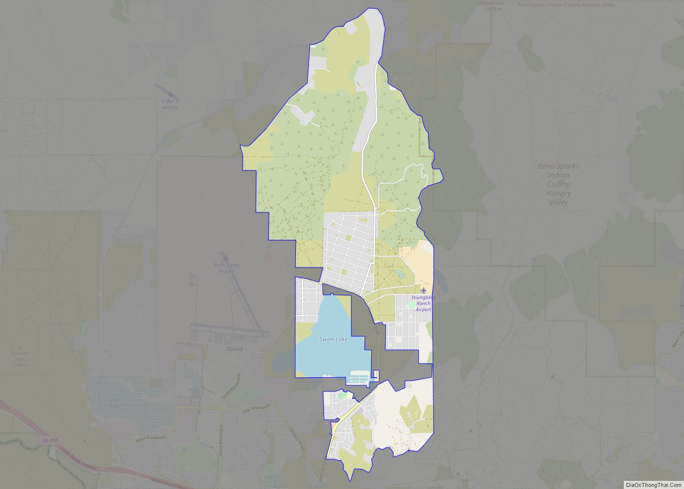
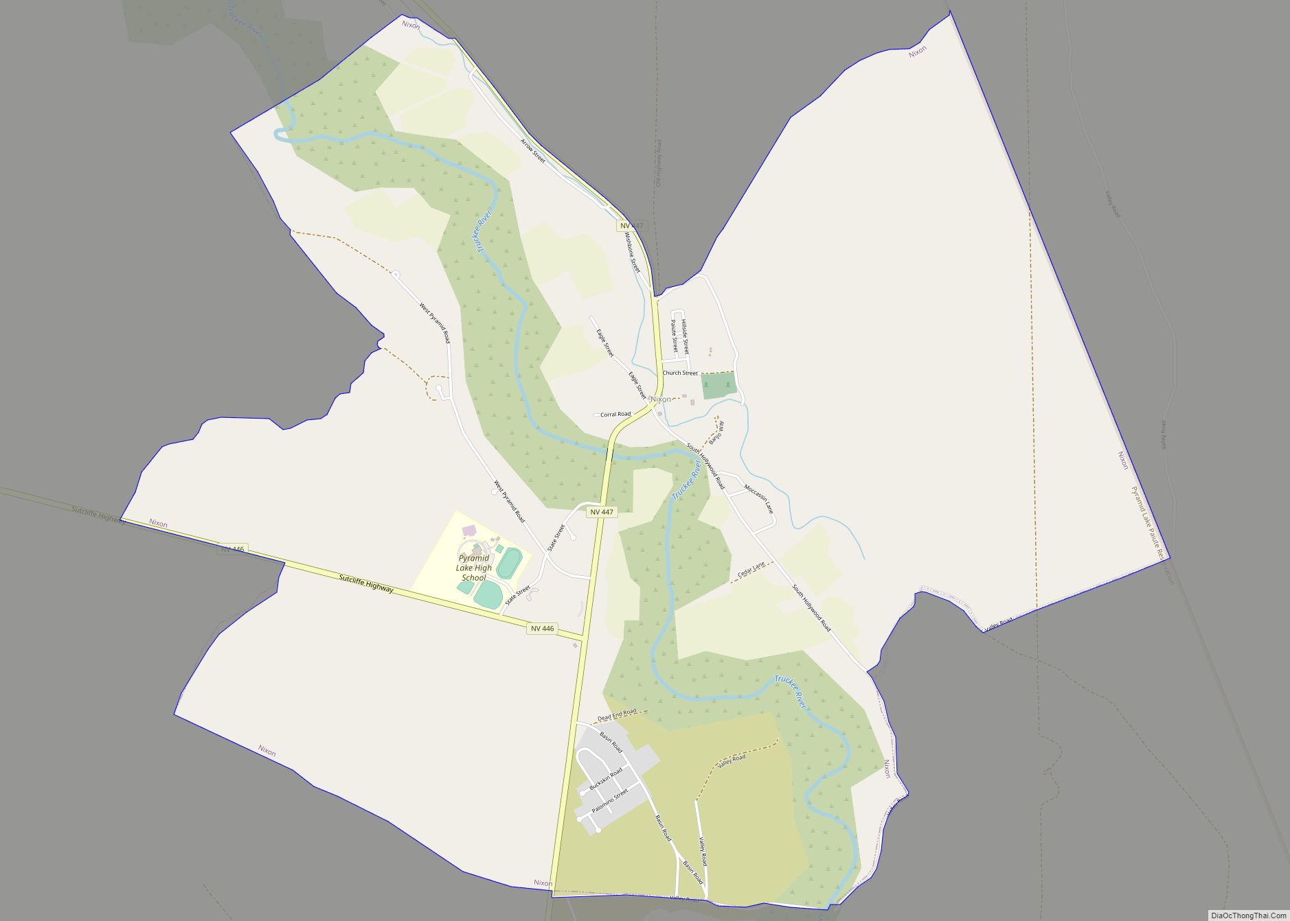
Online Interactive Map
Click on ![]() to view map in "full screen" mode.
to view map in "full screen" mode.
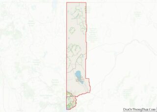
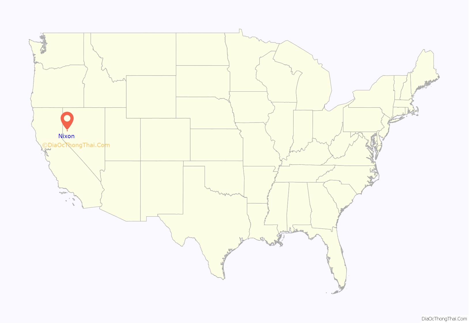
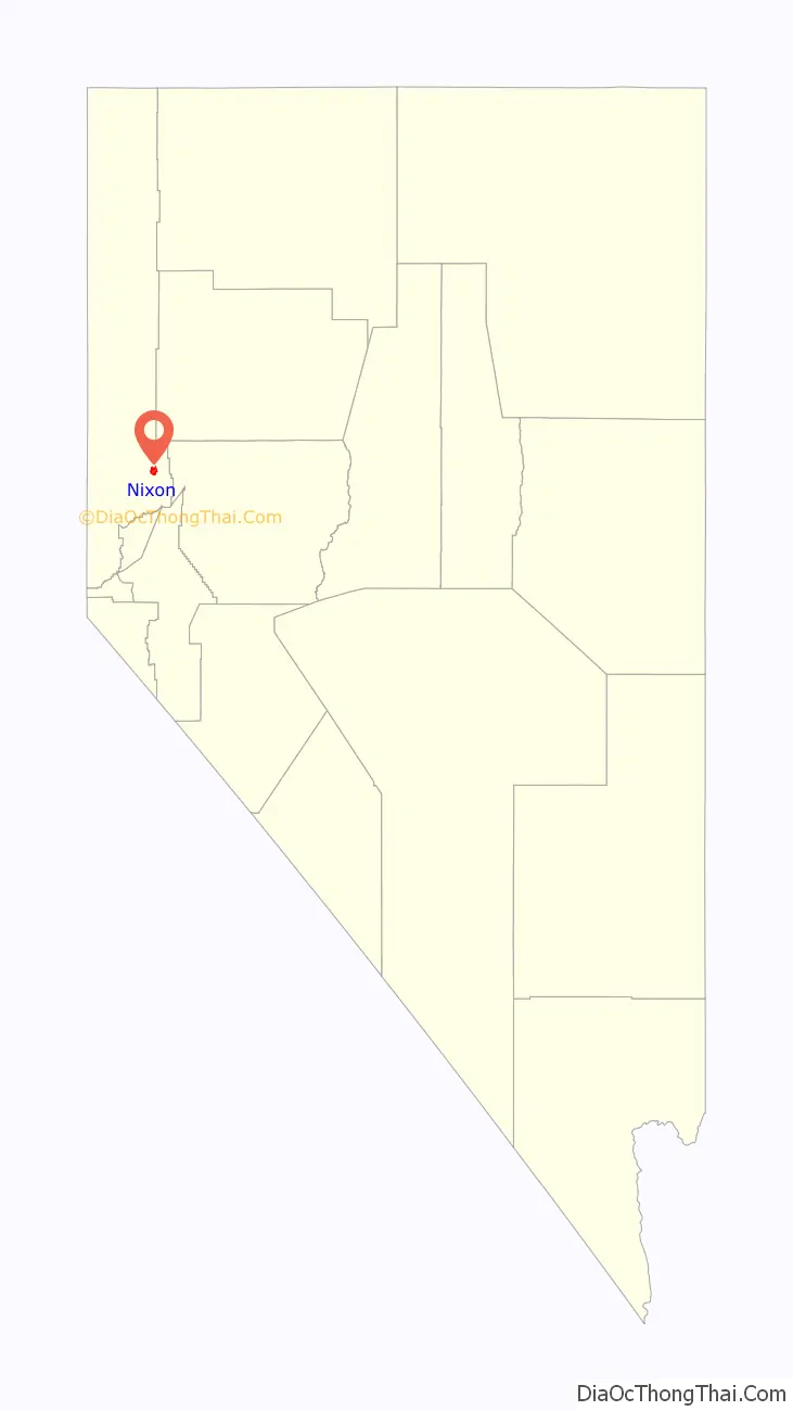
Nixon location map. Where is Nixon CDP?
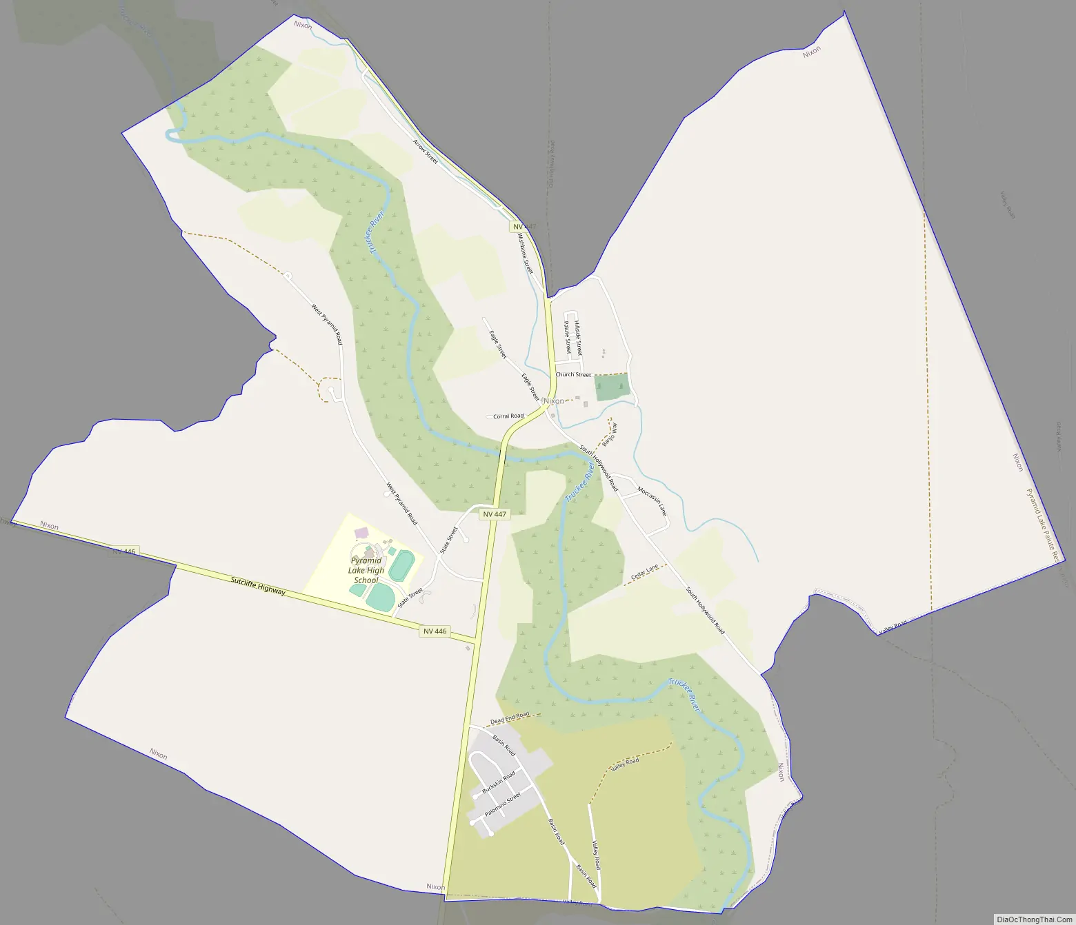
Nixon Road Map
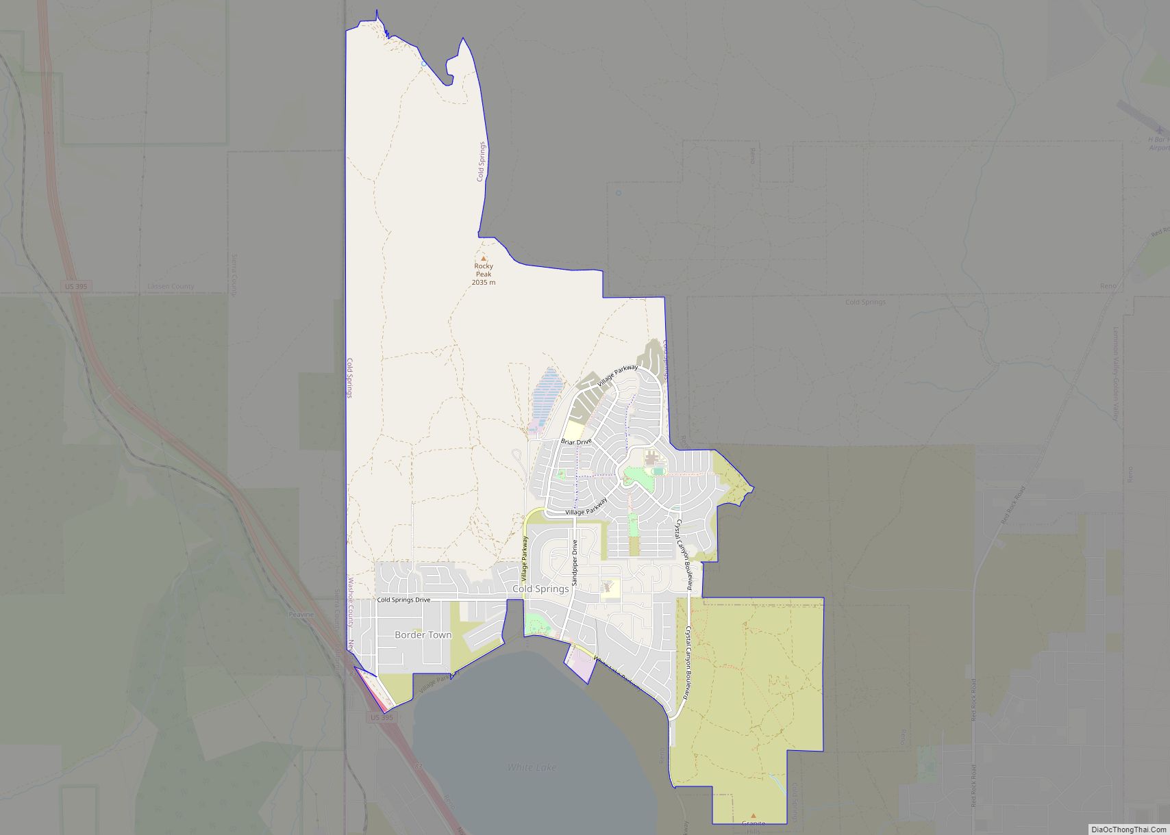
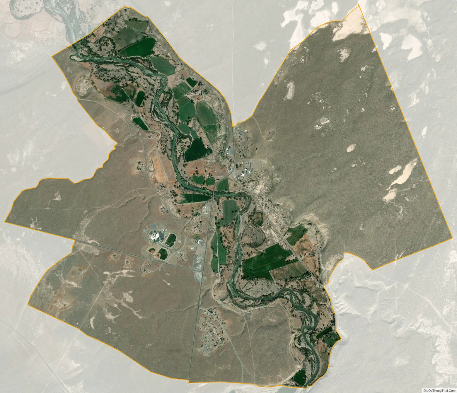
Nixon city Satellite Map
Geography
According to the United States Census Bureau, the CDP has a total area of 6.3 square miles (16 km), all land.
See also
Map of Nevada State and its subdivision: Map of other states:- Alabama
- Alaska
- Arizona
- Arkansas
- California
- Colorado
- Connecticut
- Delaware
- District of Columbia
- Florida
- Georgia
- Hawaii
- Idaho
- Illinois
- Indiana
- Iowa
- Kansas
- Kentucky
- Louisiana
- Maine
- Maryland
- Massachusetts
- Michigan
- Minnesota
- Mississippi
- Missouri
- Montana
- Nebraska
- Nevada
- New Hampshire
- New Jersey
- New Mexico
- New York
- North Carolina
- North Dakota
- Ohio
- Oklahoma
- Oregon
- Pennsylvania
- Rhode Island
- South Carolina
- South Dakota
- Tennessee
- Texas
- Utah
- Vermont
- Virginia
- Washington
- West Virginia
- Wisconsin
- Wyoming