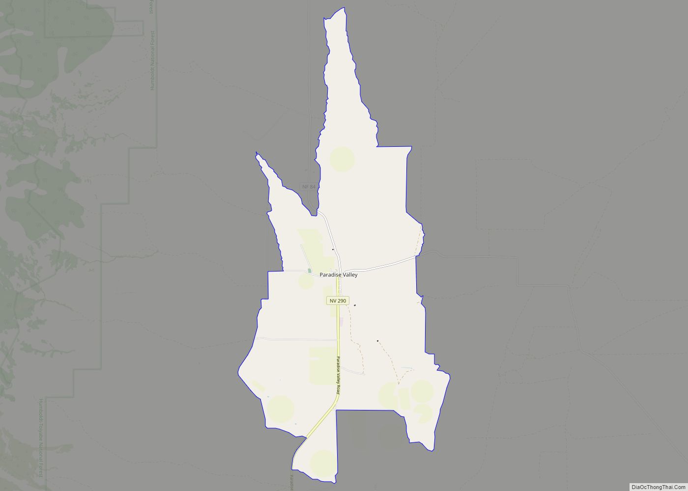
Paradise Valley is a census-designated place (CDP) in Humboldt County, Nevada, United States, near the Santa Rosa Ranger District of Humboldt National Forest. It is located at the northern terminus of Nevada State Route 290, about 19 miles (31 km) northeast of U.S. Highway 95 and a total of 40 miles (64 km) north of Winnemucca. The town is located in a broad valley, with the Santa Rosa Range of mountains just to the northwest. At the 2010 census, the population of the CDP was 109.
| Name: | Paradise Valley CDP |
|---|---|
| LSAD Code: | 57 |
| LSAD Description: | CDP (suffix) |
| State: | Nevada |
| County: | Humboldt County |
| Elevation: | 4,557 ft (1,389 m) |
| Total Area: | 3.43 sq mi (8.88 km²) |
| Land Area: | 3.42 sq mi (8.87 km²) |
| Water Area: | 0.00 sq mi (0.01 km²) |
| Total Population: | 71 |
| Population Density: | 20.73/sq mi (8.00/km²) |
| ZIP code: | 89426 |
| FIPS code: | 3255400 |
| GNISfeature ID: | 2583950 |
Online Interactive Map
Click on ![]() to view map in "full screen" mode.
to view map in "full screen" mode.
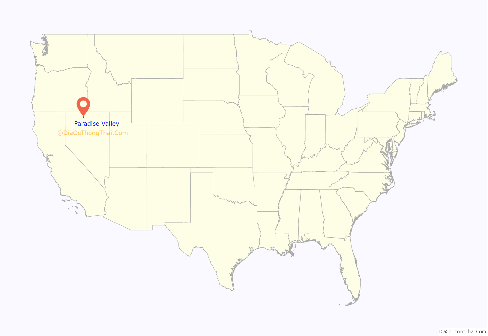
Paradise Valley location map. Where is Paradise Valley CDP?
History
A post office has been in operation at Paradise Valley since 1871. According to tradition, in the 1860s a prospector declared “What a paradise!” upon seeing the valley, after having traveled through the surrounding arid territory.
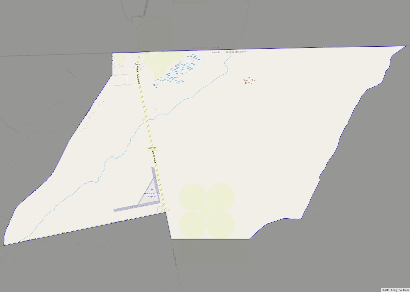
Paradise Valley Road Map
Paradise Valley city Satellite Map
See also
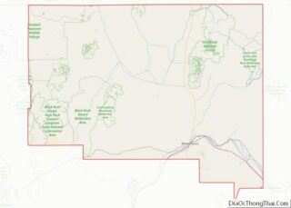
Map of Nevada State and its subdivision: Map of other states:- Alabama
- Alaska
- Arizona
- Arkansas
- California
- Colorado
- Connecticut
- Delaware
- District of Columbia
- Florida
- Georgia
- Hawaii
- Idaho
- Illinois
- Indiana
- Iowa
- Kansas
- Kentucky
- Louisiana
- Maine
- Maryland
- Massachusetts
- Michigan
- Minnesota
- Mississippi
- Missouri
- Montana
- Nebraska
- Nevada
- New Hampshire
- New Jersey
- New Mexico
- New York
- North Carolina
- North Dakota
- Ohio
- Oklahoma
- Oregon
- Pennsylvania
- Rhode Island
- South Carolina
- South Dakota
- Tennessee
- Texas
- Utah
- Vermont
- Virginia
- Washington
- West Virginia
- Wisconsin
- Wyoming
