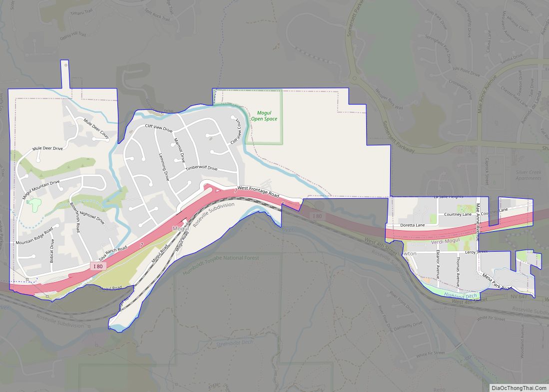
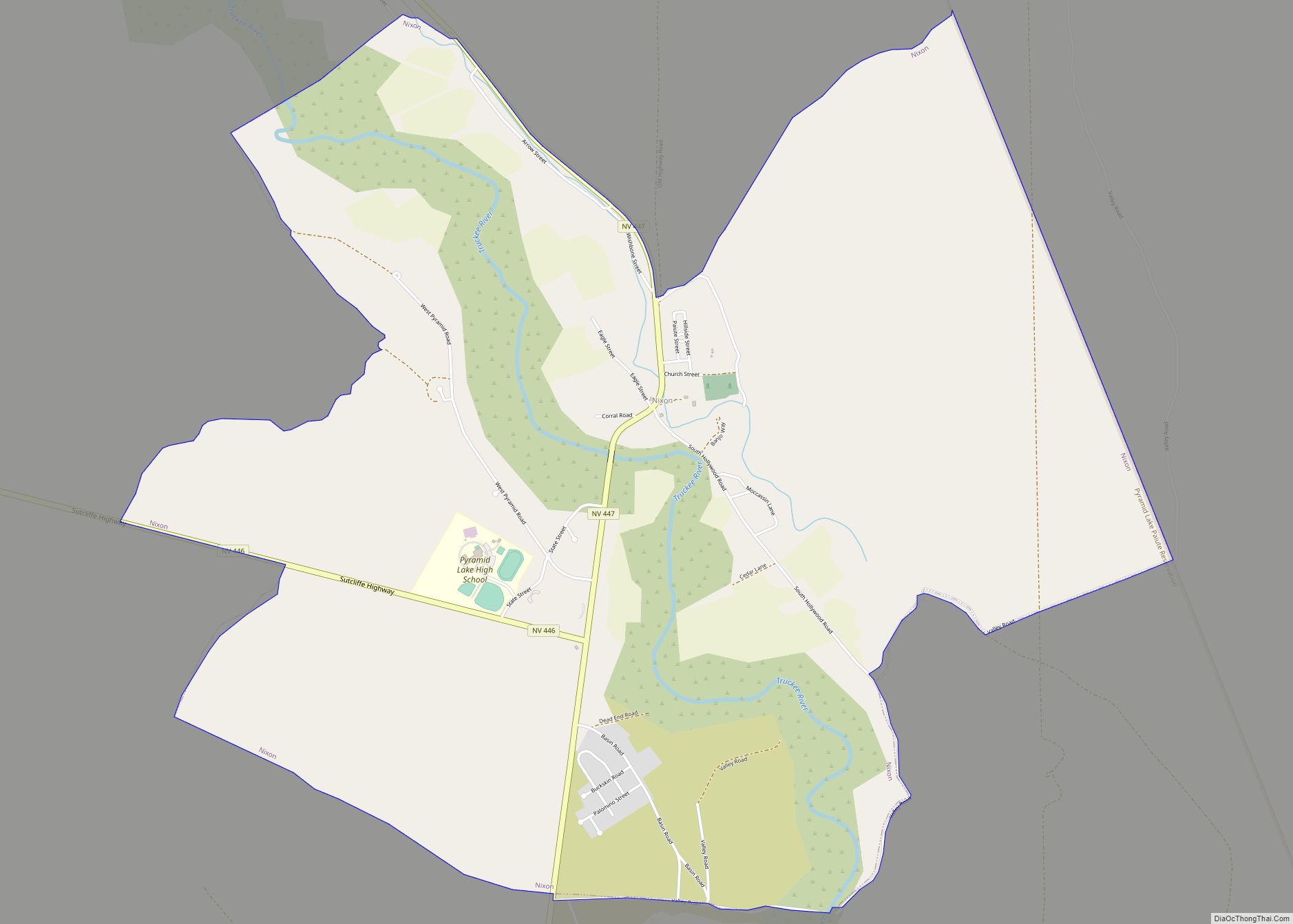
Spanish Springs is a census-designated place (CDP) in Washoe County, Nevada, United States. It is located in the northeastern part of the Reno–Sparks Metropolitan Statistical Area. The population was 15,064 at the 2010 Census.
| Name: | Spanish Springs CDP |
|---|---|
| LSAD Code: | 57 |
| LSAD Description: | CDP (suffix) |
| State: | Nevada |
| County: | Washoe County |
| Elevation: | 4,518 ft (1,377 m) |
| Total Area: | 55.89 sq mi (144.76 km²) |
| Land Area: | 55.56 sq mi (143.91 km²) |
| Water Area: | 0.33 sq mi (0.86 km²) |
| Total Population: | 17,314 |
| Population Density: | 311.61/sq mi (120.31/km²) |
| ZIP code: | 89436, 89441 |
| Area code: | 775 |
| FIPS code: | 3268350 |
| GNISfeature ID: | 1852658 |
Online Interactive Map
Click on ![]() to view map in "full screen" mode.
to view map in "full screen" mode.
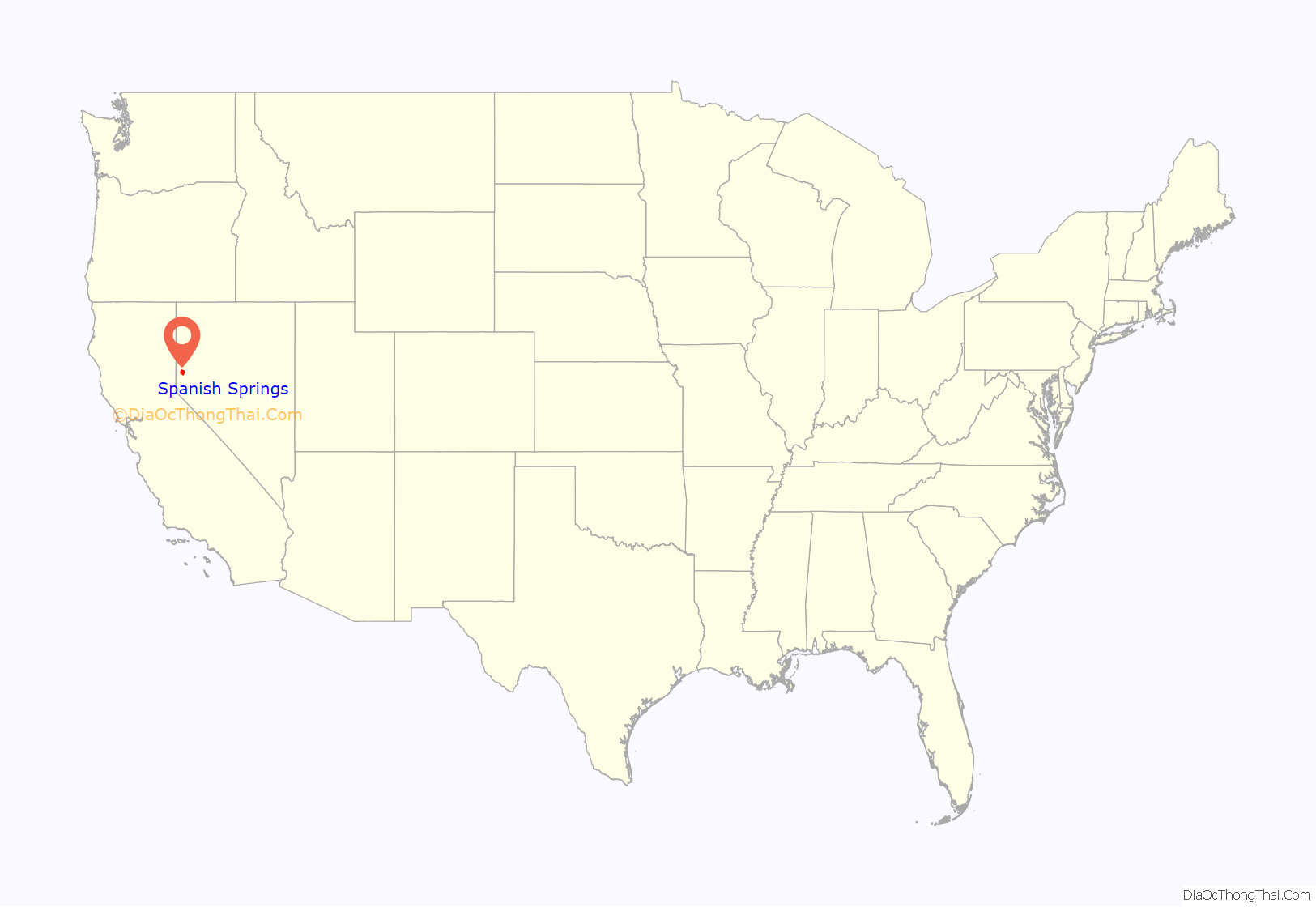
Spanish Springs location map. Where is Spanish Springs CDP?
History
Sky Ranch Airport, a 2,000-foot (610 m)-long dirt airstrip, was located northeast of the intersection of State Route 445 and Spanish Springs Road. This 1940s auxiliary field was the site of the first Reno Air Races, in 1964 and 1965, then was the location of the headquarters of the 126,000-acre (510 km) Rocketdyne Nevada Field Laboratory (NFL), which was used in the late 1960s and early 1970s for testing rocket engines used in the Space Program.
The Sky Ranch airfield site has been covered by housing developments, which are expanding in the area as the Reno-Sparks metropolitan area expands.
With the closure of Sky Ranch in 1970, another airfield was graded approximately 2 miles (3 km) west. Now known as Spanish Springs Airport (N86), it has been in continuous operation since 1971.
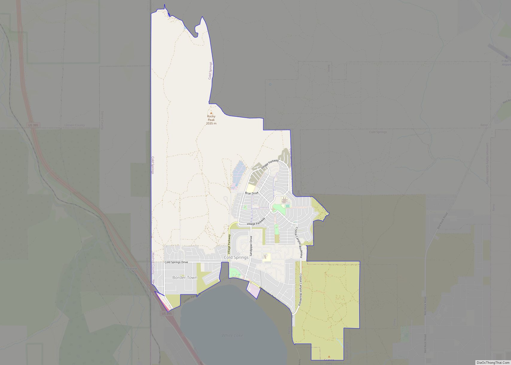
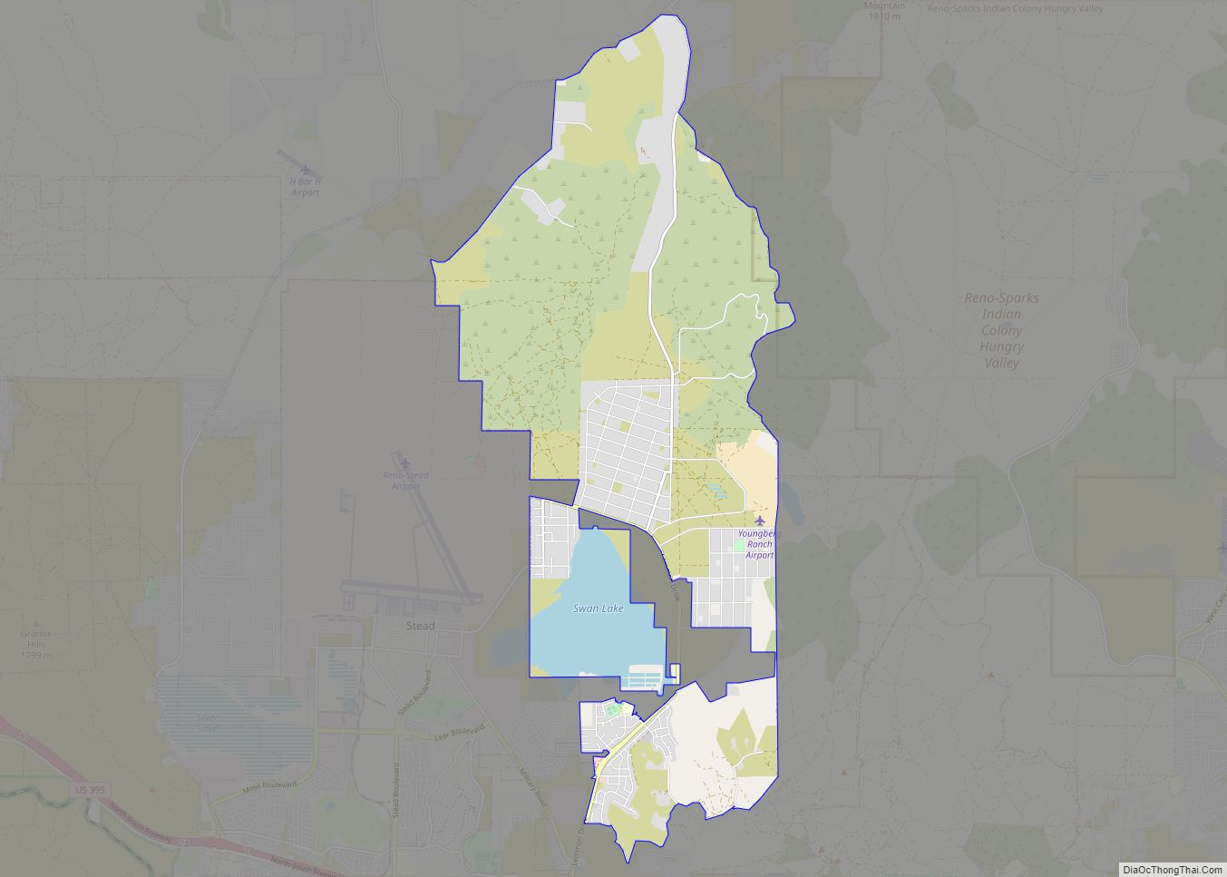
Spanish Springs Road Map
Spanish Springs city Satellite Map
Geography
Spanish Springs is located at 39°39′30″N 119°41′42″W / 39.65833°N 119.69500°W / 39.65833; -119.69500 (39.658301, -119.695130).
According to the United States Census Bureau, the CDP has a total area of 56.0 square miles (145.0 km), of which 55.7 square miles (144.2 km) is land and 0.35 square miles (0.9 km), or 0.59%, is water.
See also
Map of Nevada State and its subdivision: Map of other states:- Alabama
- Alaska
- Arizona
- Arkansas
- California
- Colorado
- Connecticut
- Delaware
- District of Columbia
- Florida
- Georgia
- Hawaii
- Idaho
- Illinois
- Indiana
- Iowa
- Kansas
- Kentucky
- Louisiana
- Maine
- Maryland
- Massachusetts
- Michigan
- Minnesota
- Mississippi
- Missouri
- Montana
- Nebraska
- Nevada
- New Hampshire
- New Jersey
- New Mexico
- New York
- North Carolina
- North Dakota
- Ohio
- Oklahoma
- Oregon
- Pennsylvania
- Rhode Island
- South Carolina
- South Dakota
- Tennessee
- Texas
- Utah
- Vermont
- Virginia
- Washington
- West Virginia
- Wisconsin
- Wyoming
