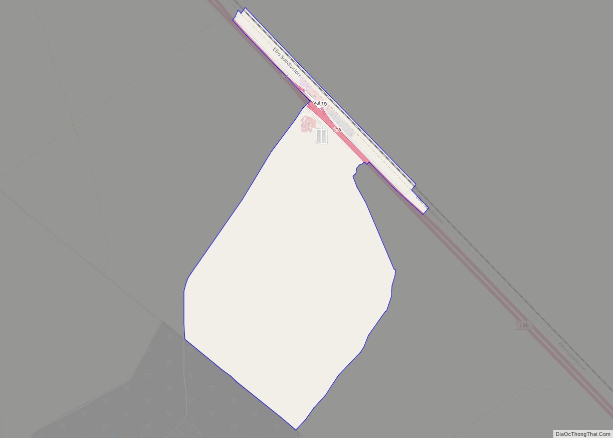
Valmy is a census-designated place in Humboldt County, Nevada, United States, named after the Battle of Valmy in France. The Lone Tree gold-mining complex is located adjacent to I-80; mining ended there in 2007, though a small gold resource remains in place there. In 2021, Nevada Gold Mines sold the mine to i-80 Gold, who hope to process ore there.
The Marigold mine is located further south of I-80 and has been in production since 1989.
Valmy is also home to the North Valmy Generating Station, jointly owned by NV Energy and Idaho Power.
Valmy has a post office, with the ZIP code 89438. As of the 2010 census, the community had a population of 37.
| Name: | Valmy CDP |
|---|---|
| LSAD Code: | 57 |
| LSAD Description: | CDP (suffix) |
| State: | Nevada |
| County: | Humboldt County |
| Elevation: | 4,521 ft (1,378 m) |
| Total Area: | 0.22 sq mi (0.57 km²) |
| Land Area: | 0.22 sq mi (0.57 km²) |
| Water Area: | 0.00 sq mi (0.00 km²) |
| Total Population: | 26 |
| Population Density: | 118.18/sq mi (45.68/km²) |
| FIPS code: | 3278200 |
| GNISfeature ID: | 2583961 |
Online Interactive Map
Click on ![]() to view map in "full screen" mode.
to view map in "full screen" mode.
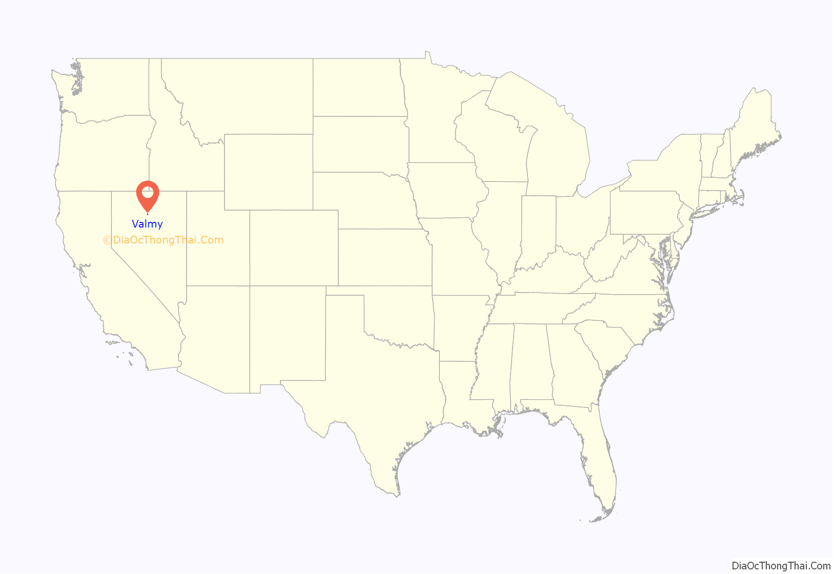
Valmy location map. Where is Valmy CDP?
History
Established in 1910 by the Southern Pacific Railroad as a section point, it became Valmy on March 24, 1915. The post office from Stone House, Nevada, was moved to Valmy at that time. In 1932 Eugene DiGrazia bought Valmy’s gas station, store, post office and bus depot.
Valmy Road Map
Valmy city Satellite Map
See also
Map of Nevada State and its subdivision: Map of other states:- Alabama
- Alaska
- Arizona
- Arkansas
- California
- Colorado
- Connecticut
- Delaware
- District of Columbia
- Florida
- Georgia
- Hawaii
- Idaho
- Illinois
- Indiana
- Iowa
- Kansas
- Kentucky
- Louisiana
- Maine
- Maryland
- Massachusetts
- Michigan
- Minnesota
- Mississippi
- Missouri
- Montana
- Nebraska
- Nevada
- New Hampshire
- New Jersey
- New Mexico
- New York
- North Carolina
- North Dakota
- Ohio
- Oklahoma
- Oregon
- Pennsylvania
- Rhode Island
- South Carolina
- South Dakota
- Tennessee
- Texas
- Utah
- Vermont
- Virginia
- Washington
- West Virginia
- Wisconsin
- Wyoming
