Washoe Valley is a census-designated place (CDP) in Washoe County, Nevada, United States. It corresponds closely to the unincorporated community of New Washoe City. The population was 3,019 at the 2010 census. It is part of the Reno–Sparks Metropolitan Statistical Area. The CDP takes its name from the Washoe Valley, a region between Reno and Carson City centered on Washoe Lake.
| Name: | Washoe Valley CDP |
|---|---|
| LSAD Code: | 57 |
| LSAD Description: | CDP (suffix) |
| State: | Nevada |
| County: | Washoe County |
| Elevation: | 5,086 ft (1,550 m) |
| Total Area: | 5.04 sq mi (13.05 km²) |
| Land Area: | 5.04 sq mi (13.05 km²) |
| Water Area: | 0.00 sq mi (0.00 km²) |
| Total Population: | 3,074 |
| Population Density: | 609.92/sq mi (235.49/km²) |
| ZIP code: | 89701, 89704 |
| Area code: | 775 |
| FIPS code: | 3282250 |
| GNISfeature ID: | 2629982 |
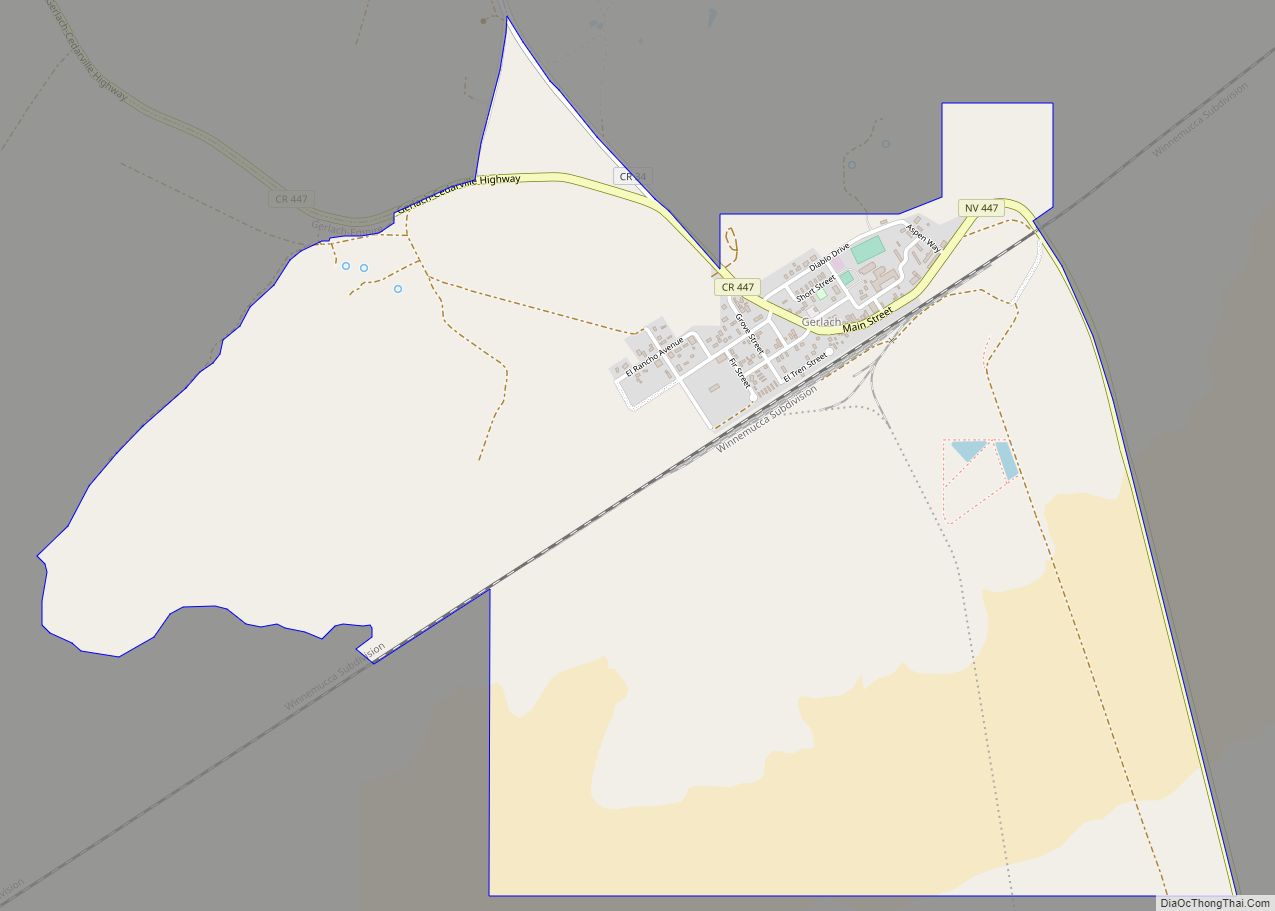
Online Interactive Map
Click on ![]() to view map in "full screen" mode.
to view map in "full screen" mode.
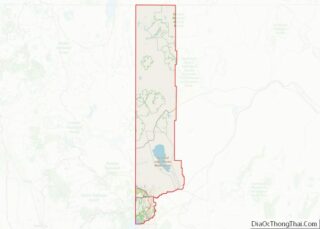
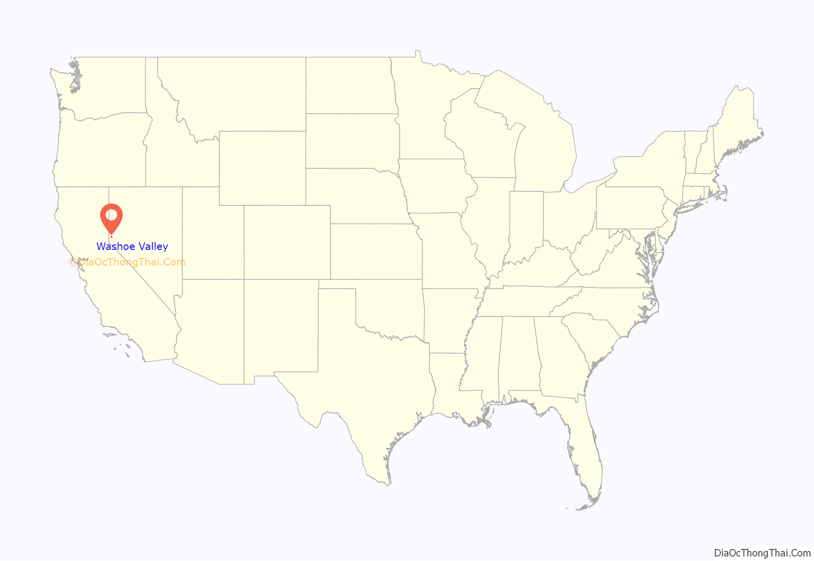
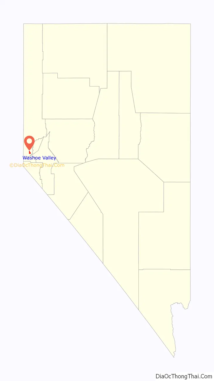
Washoe Valley location map. Where is Washoe Valley CDP?
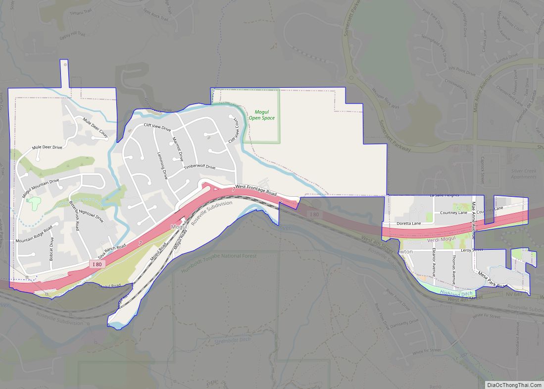
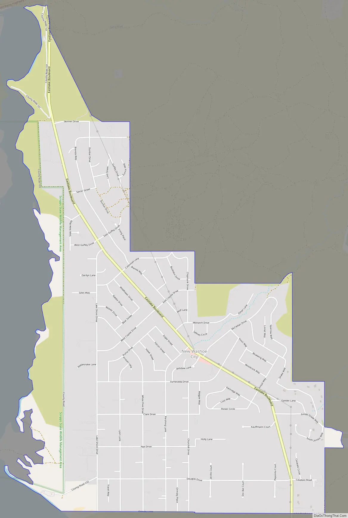
Washoe Valley Road Map
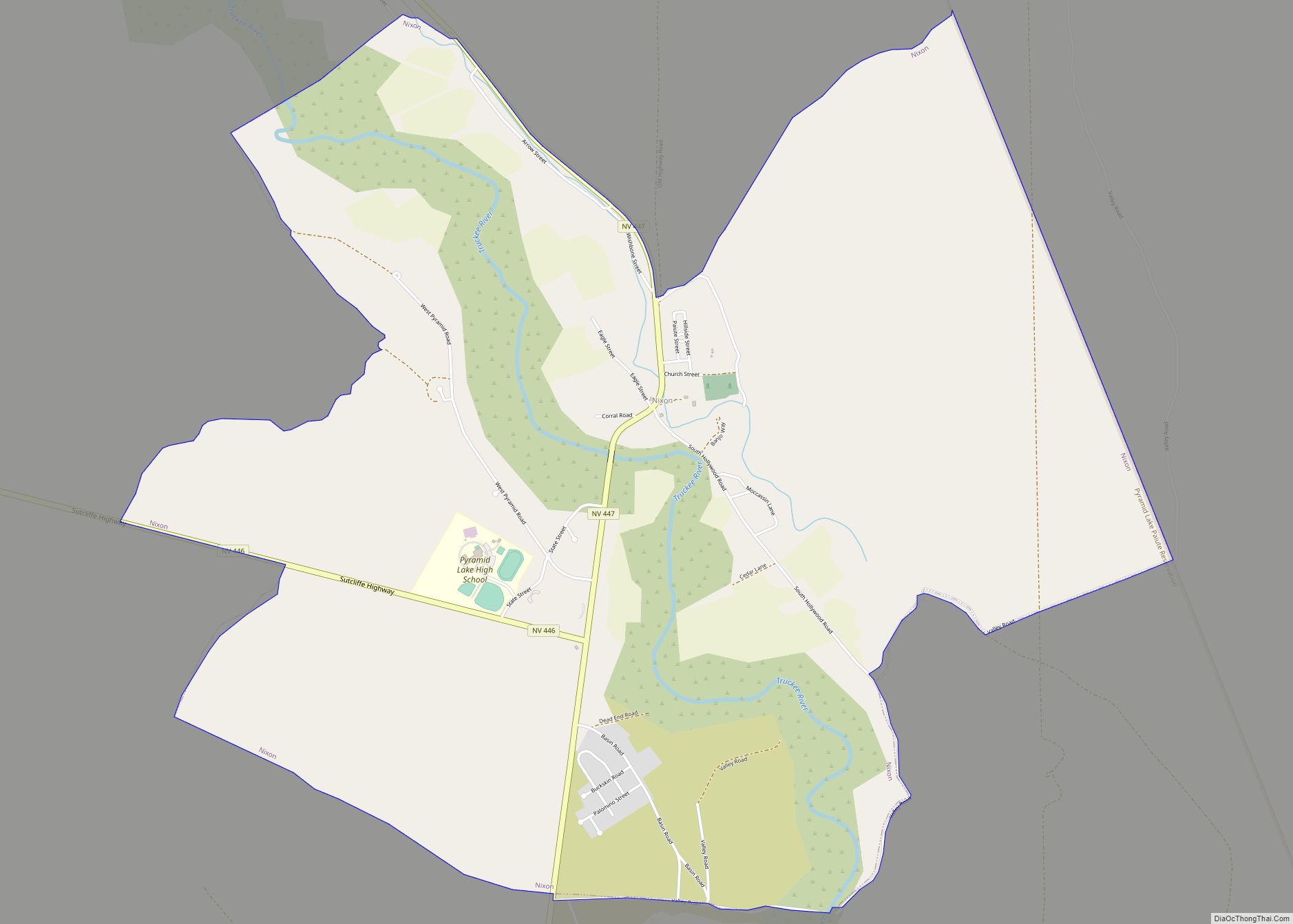
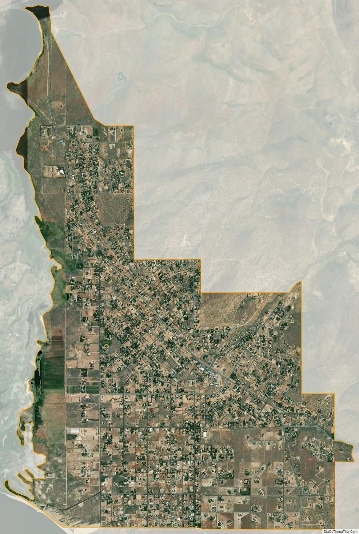
Washoe Valley city Satellite Map
Geography
The Washoe Valley CDP is located at 39°17′46″N 119°46′33″W / 39.29611°N 119.77583°W / 39.29611; -119.77583 (39.2963, −119.7760), to the east of Washoe Lake. Eastlake Boulevard is the main road through the community, leading both north and south to U.S. Route 395, the main highway through the valley.
According to the United States Census Bureau, the CDP has a total area of 5.1 square miles (13.1 km), all land.
See also
Map of Nevada State and its subdivision: Map of other states:- Alabama
- Alaska
- Arizona
- Arkansas
- California
- Colorado
- Connecticut
- Delaware
- District of Columbia
- Florida
- Georgia
- Hawaii
- Idaho
- Illinois
- Indiana
- Iowa
- Kansas
- Kentucky
- Louisiana
- Maine
- Maryland
- Massachusetts
- Michigan
- Minnesota
- Mississippi
- Missouri
- Montana
- Nebraska
- Nevada
- New Hampshire
- New Jersey
- New Mexico
- New York
- North Carolina
- North Dakota
- Ohio
- Oklahoma
- Oregon
- Pennsylvania
- Rhode Island
- South Carolina
- South Dakota
- Tennessee
- Texas
- Utah
- Vermont
- Virginia
- Washington
- West Virginia
- Wisconsin
- Wyoming