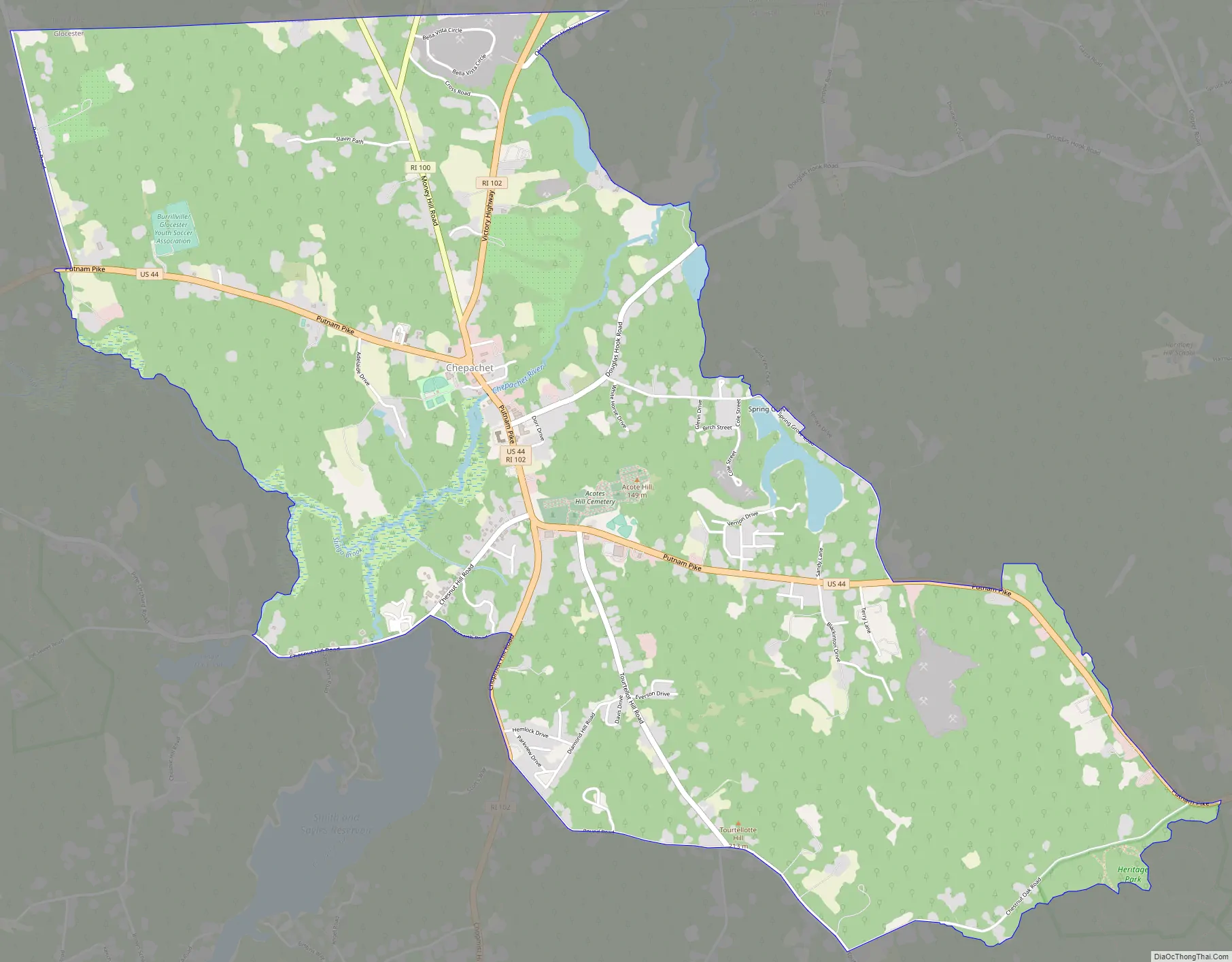
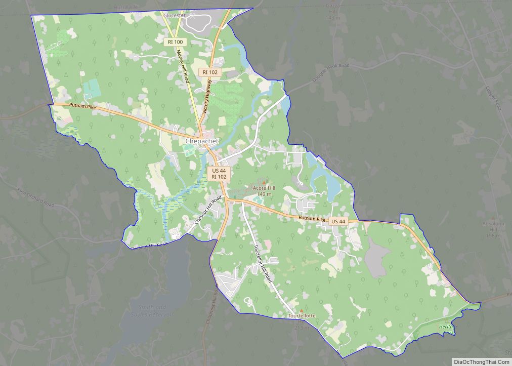
Chepachet is a village and census-designated place (CDP) in the town of Glocester in the northwestern part of the U.S. state of Rhode Island. It is centered at the intersection of U.S. Route 44 (a.k.a. Putnam Pike) and Rhode Island Route 102 (also known as Victory Highway and Chopmist Hill Road). Chepachet’s ZIP code is 02814. As of the 2010 census, the CDP had a population of 1,675.
| Name: | Chepachet CDP |
|---|---|
| LSAD Code: | 57 |
| LSAD Description: | CDP (suffix) |
| State: | Rhode Island |
| County: | Providence County |
| FIPS code: | 4414860 |
Online Interactive Map
Click on ![]() to view map in "full screen" mode.
to view map in "full screen" mode.
Chepachet location map. Where is Chepachet CDP?
History
“Chepachet” was originally inhabited by the Pequot and Nipmuc natives; the name means “where rivers meet”.
Leading up to the American Revolution, the area was a hotbed for supporters of independence, and the Gloucester Light Infantry was founded in the Chepachet in 1774. During the Revolutionary War Loyalists from Newport were exiled near Chepachet, including Thomas Vernon, who recorded election celebrations in Chepachet in 1776:
In 1842, Chepachet was the setting of the endgame of the Dorr Rebellion, which helped to win voting rights for non-landowners in a new state Constitution.
On 4 November 1923, horror writer H. P. Lovecraft and his fellow writer C. M. Eddy, Jr. ventured to Chepachet in search of a place known as “Dark Swamp” of which they had heard rumors. They never located it, but the region inspired at least the opening of Lovecraft’s story (novelette) “The Colour Out of Space”, and the setting contributed to Eddy’s unfinished story “Black Noon”. Chepachet is also mentioned several times in Lovecraft’s story (novelette) “The Horror at Red Hook”.
Since 1926, the town has hosted the Ancients and Horribles parade, an annual Fourth of July event, notable for its political statements and ribald humor.
In the 1940s, a US Navy auxiliary ship, the fleet fuel oil tanker, USS Chepachet, was named after the Chepachet River which runs through the village. The ship’s bell is displayed at the seat of town government, and the ship’s surviving crew had a 50th anniversary reunion in the town in 1998.
Beginning with a proclamation in 1976, May 25 is recognized as “Elephant Day”. On that date in 1826, a popular elephant known as Betty the Learned Elephant from a traveling show was shot and killed while she was crossing the bridge spanning the Chepachet River. A group of six “hooligans” led by Canton Smith of nearby North Scituate faced charges for the crime. A commemorative plaque marks the historic location on the bridge.
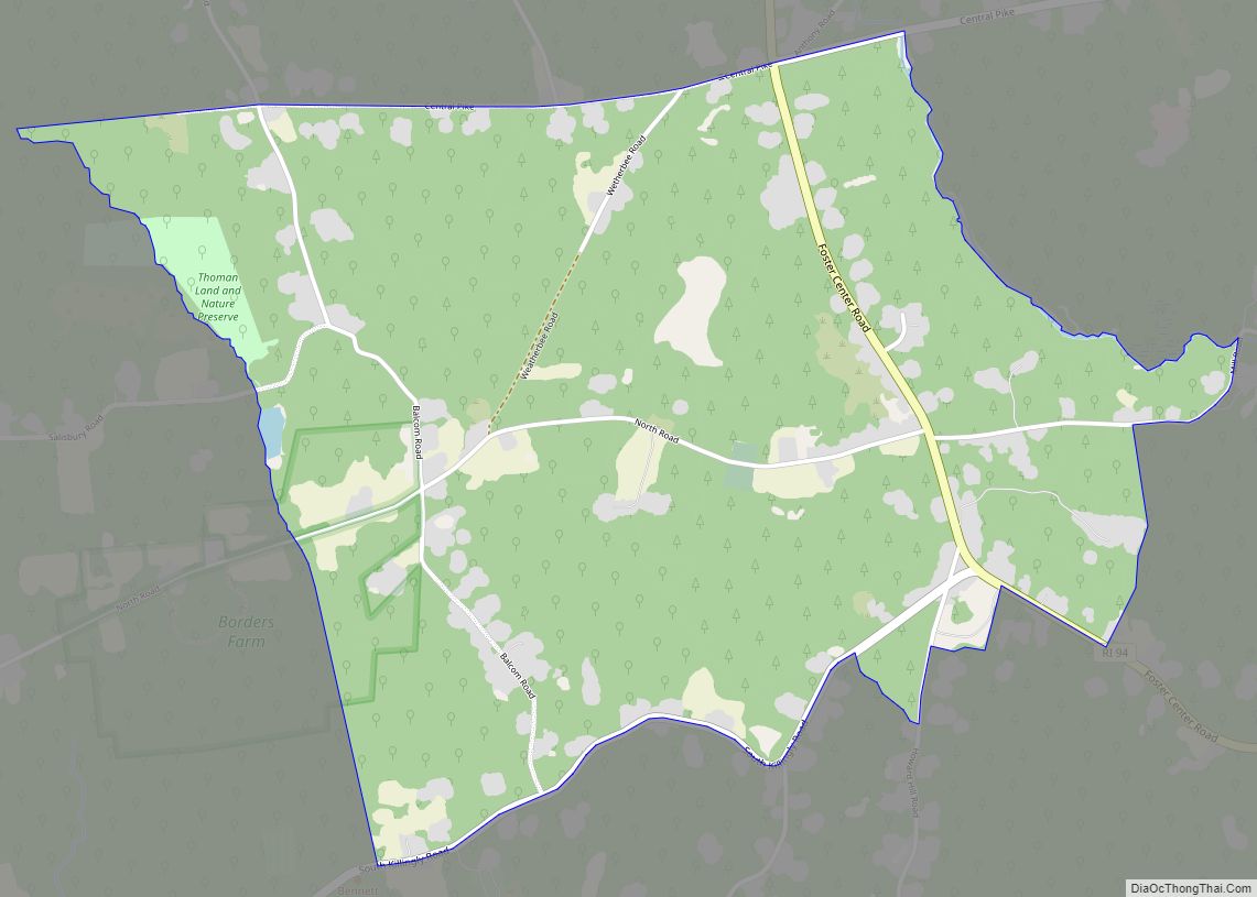
Chepachet Road Map
Chepachet city Satellite Map
See also
Map of Rhode Island State and its subdivision: Map of other states:- Alabama
- Alaska
- Arizona
- Arkansas
- California
- Colorado
- Connecticut
- Delaware
- District of Columbia
- Florida
- Georgia
- Hawaii
- Idaho
- Illinois
- Indiana
- Iowa
- Kansas
- Kentucky
- Louisiana
- Maine
- Maryland
- Massachusetts
- Michigan
- Minnesota
- Mississippi
- Missouri
- Montana
- Nebraska
- Nevada
- New Hampshire
- New Jersey
- New Mexico
- New York
- North Carolina
- North Dakota
- Ohio
- Oklahoma
- Oregon
- Pennsylvania
- Rhode Island
- South Carolina
- South Dakota
- Tennessee
- Texas
- Utah
- Vermont
- Virginia
- Washington
- West Virginia
- Wisconsin
- Wyoming


