Watch Hill is an affluent coastal neighborhood and census-designated place in the town of Westerly, Rhode Island. The population was 154 at the 2010 census. It sits at the most-southwestern point in all of Rhode Island. It came to prominence in the late 19th and early 20th century as an exclusive summer resort, with wealthy families building sprawling Victorian-style “cottages” along the peninsula. Watch Hill is characterized by The New York Times as a community “with a strong sense of privacy and of discreetly used wealth,” in contrast with “the overpowering castles of the very rich” in nearby Newport.
| Name: | Watch Hill CDP |
|---|---|
| LSAD Code: | 57 |
| LSAD Description: | CDP (suffix) |
| State: | Rhode Island |
| County: | Washington County |
| FIPS code: | 4475200 |
Online Interactive Map
Click on ![]() to view map in "full screen" mode.
to view map in "full screen" mode.
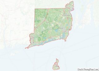
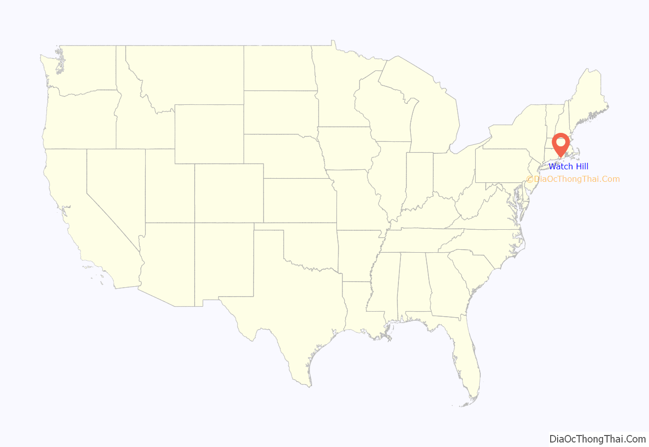
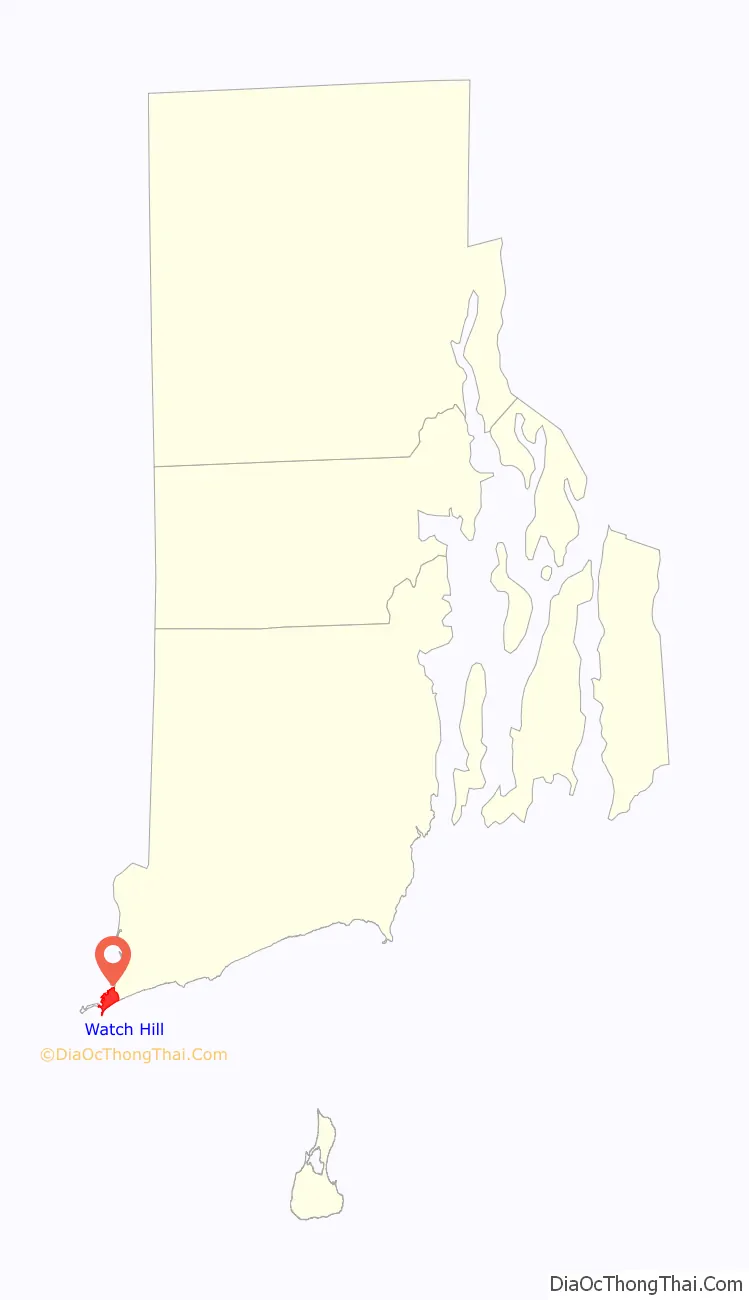
Watch Hill location map. Where is Watch Hill CDP?
History
The area was occupied by Niantic Indians in the 17th century, led by Harman Garrett. Colonists used the hill as an important lookout point during the French and Indian War and the Revolutionary War, hence the community’s name. Some landmarks in the village include the Watch Hill Lighthouse, the first of which was built in 1745; 1880s The Flying Horse Carousel, the oldest operating suspended-horse carousel in the United States and a National Historic Landmark; the Ocean House hotel; and the 1916 Olympia Tea Room.
One point of interest in Watch Hill is the ruins of Fort Mansfield, an old coastal artillery post situated at the end of Napatree Point. It was one of a series of such forts constructed to guard the eastern entrance to Long Island Sound as part of the coastal defense network for New York City during the Spanish–American War. It was in operation between 1901 and 1909, then was closed down over the course of several years. The land was sold in 1926, and all the government buildings were demolished during the winter of 1928–29. The three concrete gun emplacements were left behind and remain there to this day, offering tunnels and underground rooms to explore. Occasionally at low tide, some remains can be seen of the Battery Connell.
Fort Road connected Watch Hill to Fort Mansfield, but the Hurricane of 1938 wiped it out and destroyed 39 houses, the Yacht and Beach Clubs, and a bathing pavilion. Fifteen people were killed and others survived by clinging to wreckage, as they were swept across the bay to Connecticut. Several breachways were created in Napatree Point after the hurricane passed. To this day, Sandy Point remains an island, rather than the northern extension of Napatree. The shortened Napatree Point is now a barrier beach without any roads or houses. It is open to the public, and offers bird watching and surf casting.
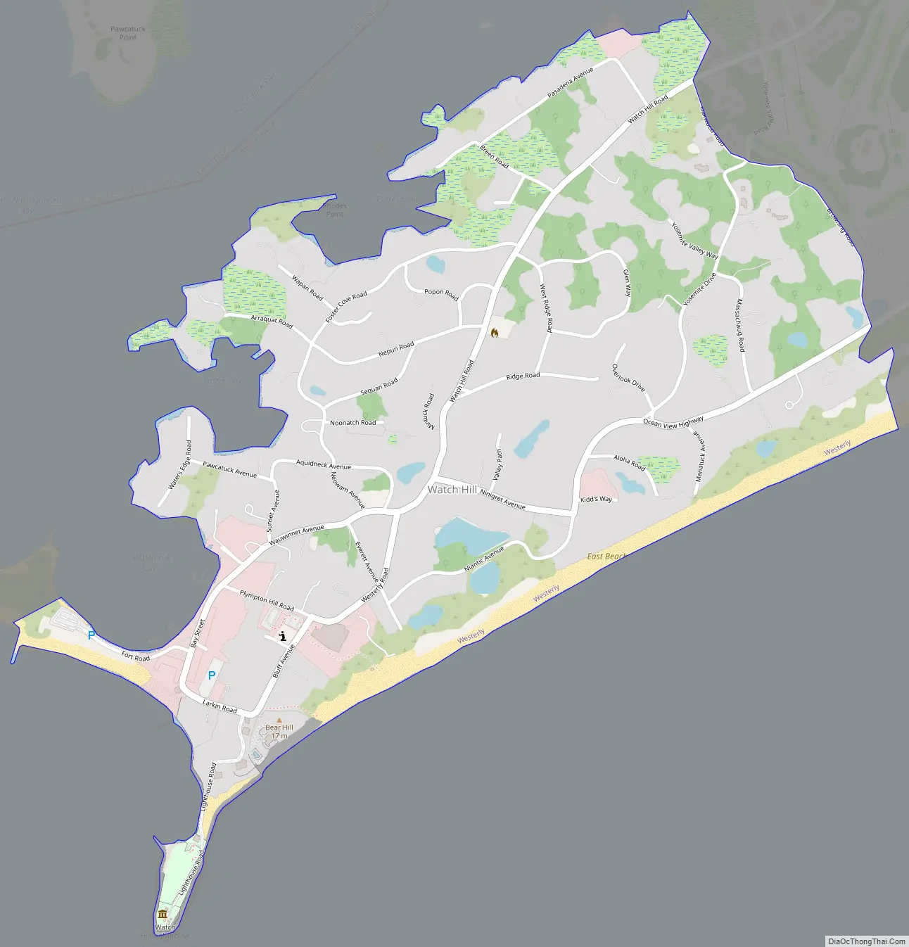
Watch Hill Road Map
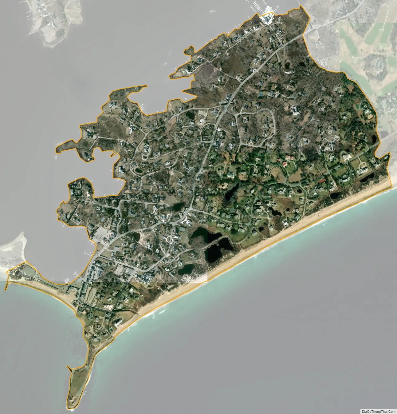
Watch Hill city Satellite Map
Geography
Watch Hill sits at the most southwestern point of Rhode Island on a stubby peninsula jutting into Block Island Sound. It includes a smaller peninsula known as Napatree Point, a 1.5-mile (2.4 km)-long sandy spit that extends west from the Watch Hill business district, and Sandy Point, which was once attached to Napatree Point. Both Napatree and Sandy Point shelter Little Narragansett Bay and have made Watch Hill a popular harbor around which the business district has grown.
Watch Hill is a two-hour drive from Boston and a three-hour drive from New York City. On clear days, there are views of Montauk, New York to the south and Block Island, Rhode Island to the southeast.
According to the United States Census Bureau, the CDP has a total area of 0.82 square miles (2.11 km), of which 0.80 square miles (2.08 km) is land and 0.014 square miles (0.036 km) (1.72%) is water.
See also
Map of Rhode Island State and its subdivision: Map of other states:- Alabama
- Alaska
- Arizona
- Arkansas
- California
- Colorado
- Connecticut
- Delaware
- District of Columbia
- Florida
- Georgia
- Hawaii
- Idaho
- Illinois
- Indiana
- Iowa
- Kansas
- Kentucky
- Louisiana
- Maine
- Maryland
- Massachusetts
- Michigan
- Minnesota
- Mississippi
- Missouri
- Montana
- Nebraska
- Nevada
- New Hampshire
- New Jersey
- New Mexico
- New York
- North Carolina
- North Dakota
- Ohio
- Oklahoma
- Oregon
- Pennsylvania
- Rhode Island
- South Carolina
- South Dakota
- Tennessee
- Texas
- Utah
- Vermont
- Virginia
- Washington
- West Virginia
- Wisconsin
- Wyoming