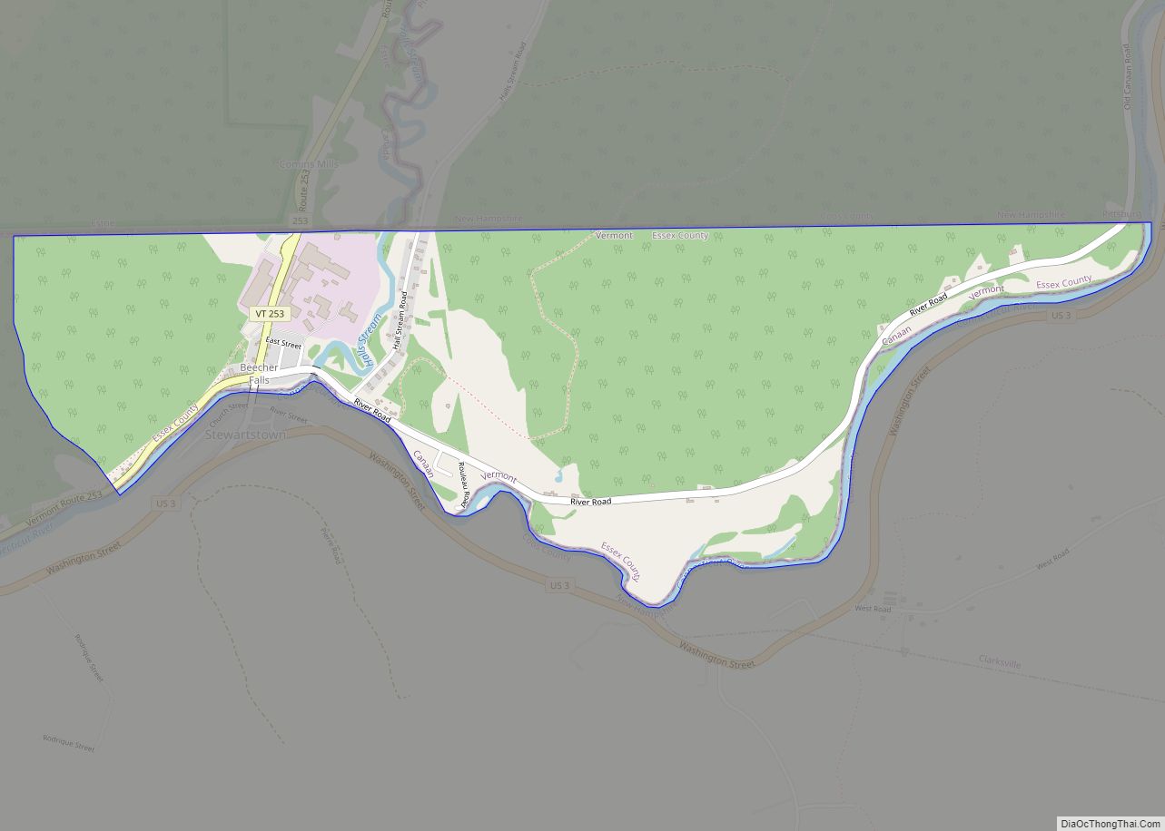
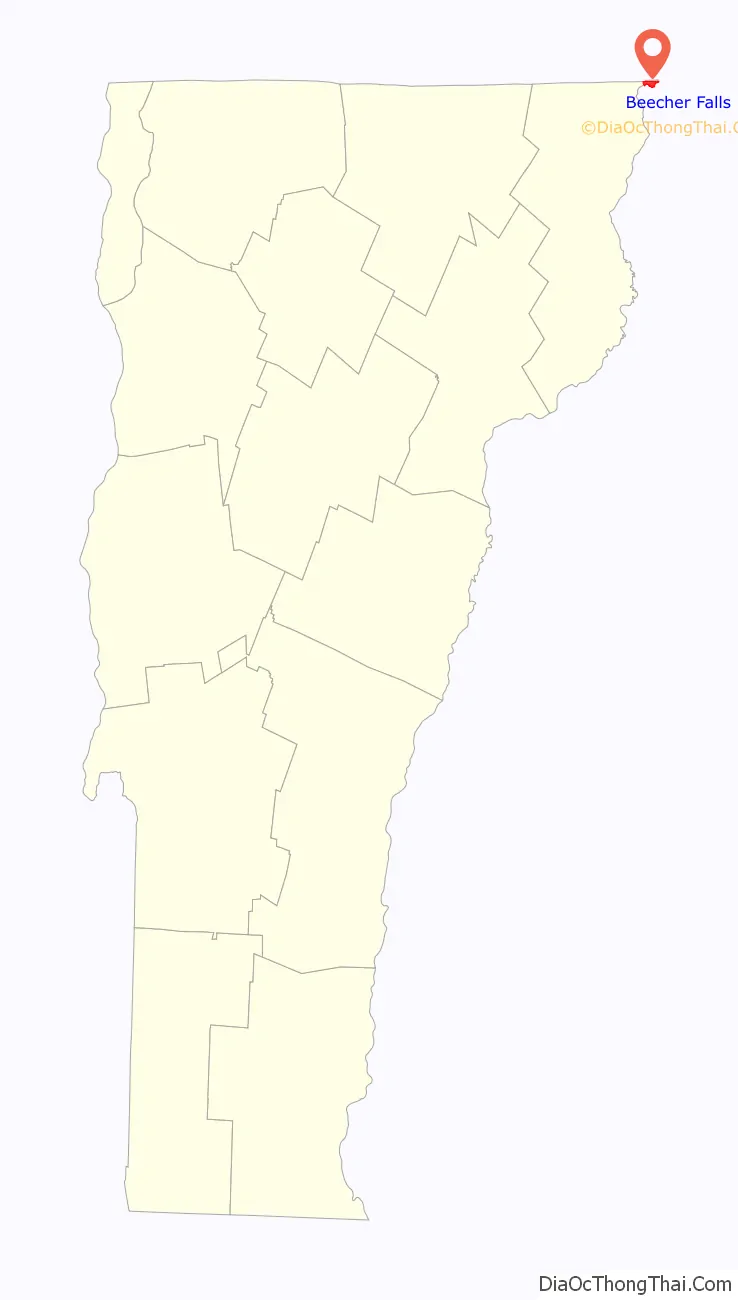
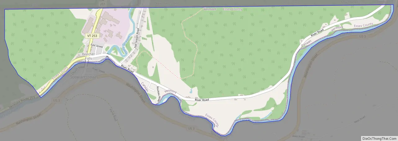
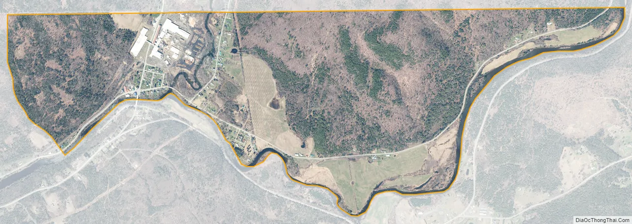
Beecher Falls is a census-designated place in the town of Canaan, Essex County, Vermont, United States. Beecher Falls is located on the Connecticut River across from Stewartstown, New Hampshire, in the northeast corner of Vermont. Its population was 177 as of the 2010 census.
| Name: | Beecher Falls CDP |
|---|---|
| LSAD Code: | 57 |
| LSAD Description: | CDP (suffix) |
| State: | Vermont |
| County: | Essex County |
| Elevation: | 1,066 ft (325 m) |
| Total Area: | 1.310 sq mi (3.39 km²) |
| Land Area: | 1.262 sq mi (3.27 km²) |
| Water Area: | 0.048 sq mi (0.12 km²) |
| Total Population: | 177 |
| Population Density: | 140/sq mi (52/km²) |
| ZIP code: | 05902 |
| Area code: | 802 |
| FIPS code: | 5004150 |
| GNISfeature ID: | 1456368 |
Online Interactive Map
Click on ![]() to view map in "full screen" mode.
to view map in "full screen" mode.
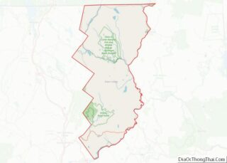
Beecher Falls location map. Where is Beecher Falls CDP?

Beecher Falls Road Map
Beecher Falls city Satellite Map
See also
Map of Vermont State and its subdivision: Map of other states:- Alabama
- Alaska
- Arizona
- Arkansas
- California
- Colorado
- Connecticut
- Delaware
- District of Columbia
- Florida
- Georgia
- Hawaii
- Idaho
- Illinois
- Indiana
- Iowa
- Kansas
- Kentucky
- Louisiana
- Maine
- Maryland
- Massachusetts
- Michigan
- Minnesota
- Mississippi
- Missouri
- Montana
- Nebraska
- Nevada
- New Hampshire
- New Jersey
- New Mexico
- New York
- North Carolina
- North Dakota
- Ohio
- Oklahoma
- Oregon
- Pennsylvania
- Rhode Island
- South Carolina
- South Dakota
- Tennessee
- Texas
- Utah
- Vermont
- Virginia
- Washington
- West Virginia
- Wisconsin
- Wyoming