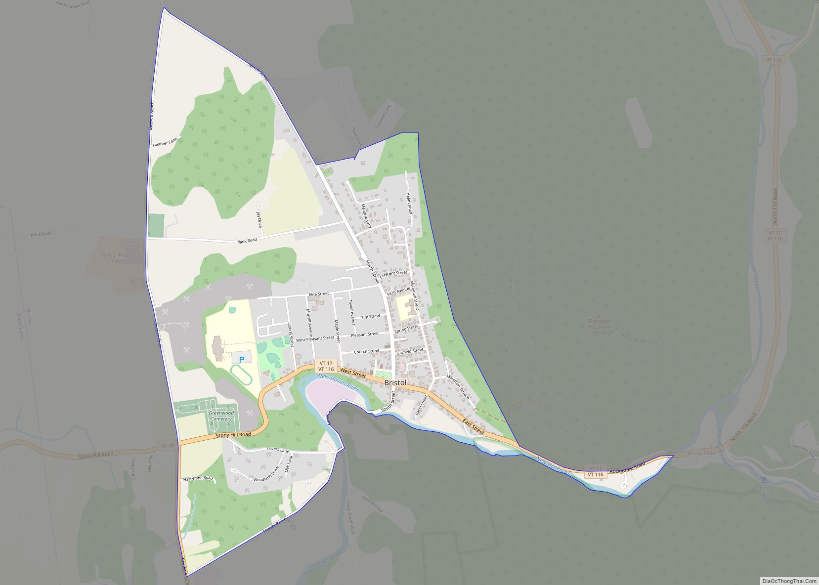
East Middlebury is a census-designated place in the town of Middlebury, Addison County, Vermont, United States. Its population was 425 as of the 2010 census.
East Middlebury first came to the attention of settlers from English America after the French and Indian War. The charter that created Middlebury dates from 1761 and the earliest settlement in East Middlebury dates from 1775 when Ebar Evarts cleared land for the construction of a tavern, the forerunner of today’s Waybury Inn. Jonathan Foot began the development of the area of the Middlebury River Gorge in 1790. The development of the village was encouraged by its location at the west end of the trail over the Green Mountains as it entered into the Otter Creek Valley. The Middlebury River Gorge was also a prime area for waterpower for mills located along its banks. The first mill of many built in the town, was a sawmill on the south side of the river near the top of gorge. This area was also the site of The East Middlebury Iron Works (1831-1890) and was the last iron works in Vermont to close its doors. The river also powered a grist mill, a wool finishing mill, and a tannery. In 1810, Jonathan Foot built a “place of entertainment” (the Waybury) that also served as a stagecoach stop for traffic coming over the mountain pass. By 1812 the village had added a general store. Epaphras Jones, who had established the Vermont Glass Factory Company at Lake Dunmore, built another glass production facility in East Middlebury in 1814. The building was a circular brick construction located just west of the Waybury and across the street (the site of St. Barnabas Chapel. In 1821, the community had ten dwellings, an Inn, and a few shops. Growth continued, so that in 1850 there were 50 homes in the village. Norman Tupper built a grist mill further south on the river. This facility was purchased by the Brown Novelty Company in 1915 for making wooden toys. It is believed that the former Episcopal Rectory (Partridge House) is the oldest dwelling house in the village. It may be the original house built by Jonathan Foot. The Foote/Zahn’s house was the house built by Epaphras Jones, who had his glass factory just across the street from the dwelling.
Established by statute, the East Middlebury Prudential Committee is an independently-elected legislative body (unaffiliated with the Middlebury Selectboard) that governs East Middlebury’s Fire District #1 and manages the East Middlebury water system. Among its duties, the Prudential Committee establishes water rates for residents and businesses in East Middlebury. As factories and small businesses have left East Middlebury, it continues to be a place next to the river and below the Green Mountains. The village has had major floods (1928, 1937, 2011).
| Name: | East Middlebury CDP |
|---|---|
| LSAD Code: | 57 |
| LSAD Description: | CDP (suffix) |
| State: | Vermont |
| County: | Addison County |
| Elevation: | 407 ft (124 m) |
| Total Area: | 0.724 sq mi (1.88 km²) |
| Land Area: | 0.709 sq mi (1.84 km²) |
| Water Area: | 0.015 sq mi (0.04 km²) |
| Total Population: | 425 |
| Population Density: | 590/sq mi (230/km²) |
| ZIP code: | 05740 |
| Area code: | 802 |
| FIPS code: | 5021700 |
| GNISfeature ID: | 1460830 |
Online Interactive Map
Click on ![]() to view map in "full screen" mode.
to view map in "full screen" mode.
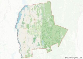
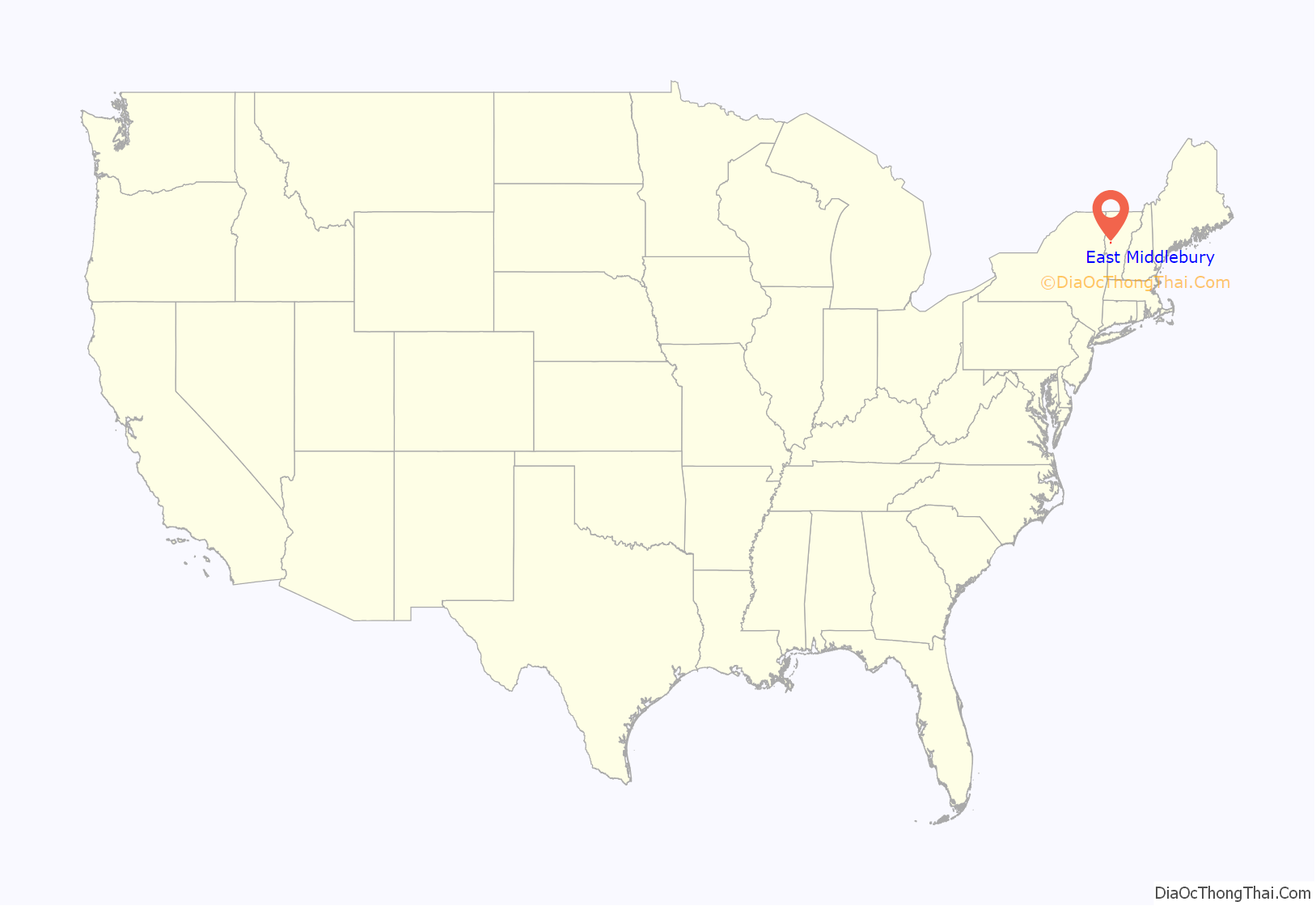
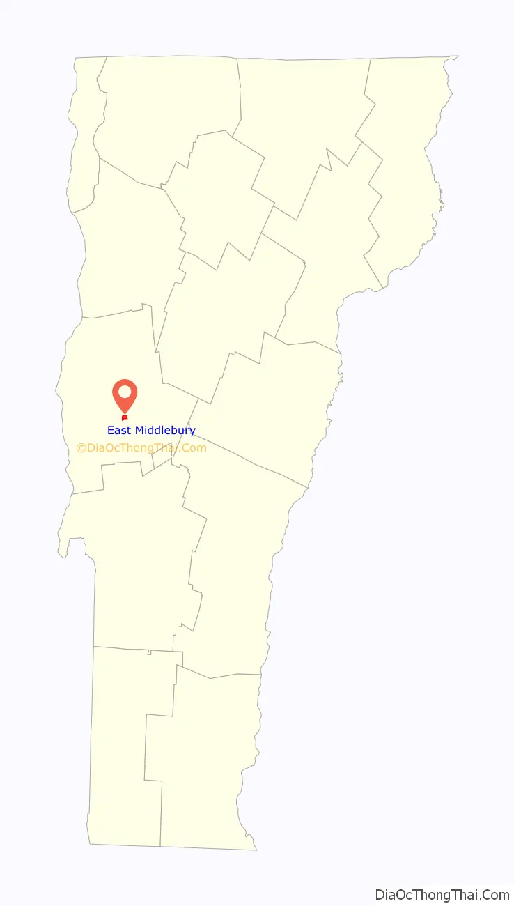
East Middlebury location map. Where is East Middlebury CDP?
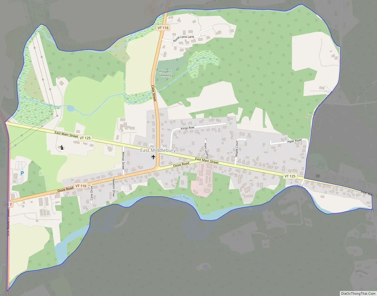
East Middlebury Road Map
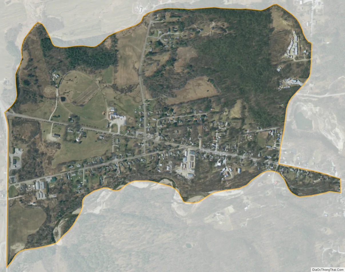
East Middlebury city Satellite Map
See also
Map of Vermont State and its subdivision: Map of other states:- Alabama
- Alaska
- Arizona
- Arkansas
- California
- Colorado
- Connecticut
- Delaware
- District of Columbia
- Florida
- Georgia
- Hawaii
- Idaho
- Illinois
- Indiana
- Iowa
- Kansas
- Kentucky
- Louisiana
- Maine
- Maryland
- Massachusetts
- Michigan
- Minnesota
- Mississippi
- Missouri
- Montana
- Nebraska
- Nevada
- New Hampshire
- New Jersey
- New Mexico
- New York
- North Carolina
- North Dakota
- Ohio
- Oklahoma
- Oregon
- Pennsylvania
- Rhode Island
- South Carolina
- South Dakota
- Tennessee
- Texas
- Utah
- Vermont
- Virginia
- Washington
- West Virginia
- Wisconsin
- Wyoming