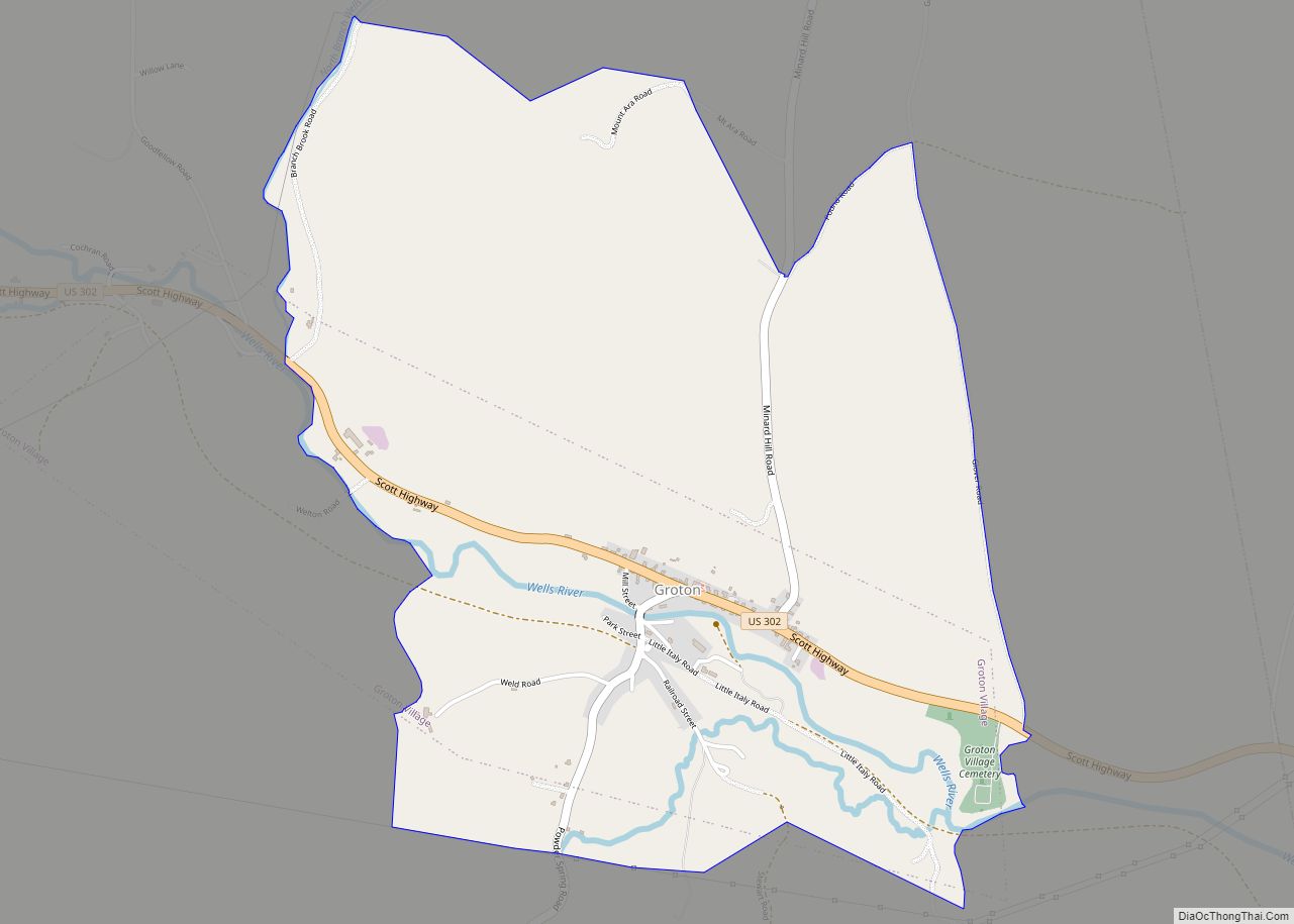
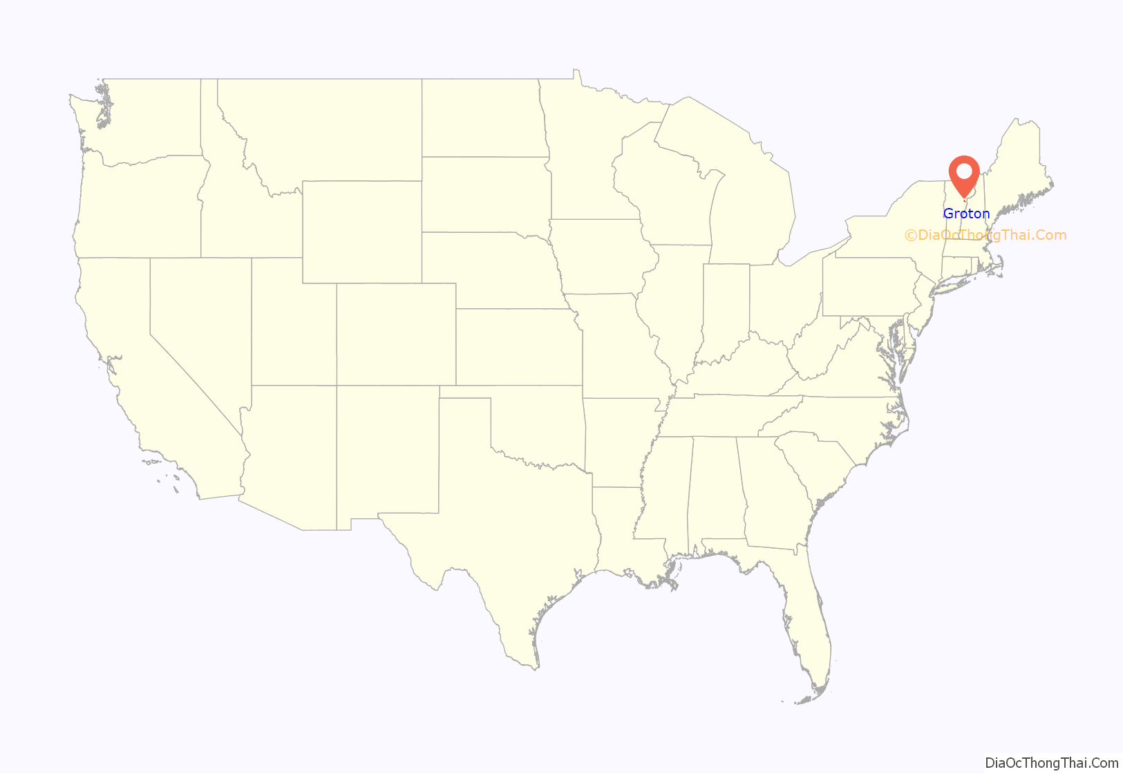
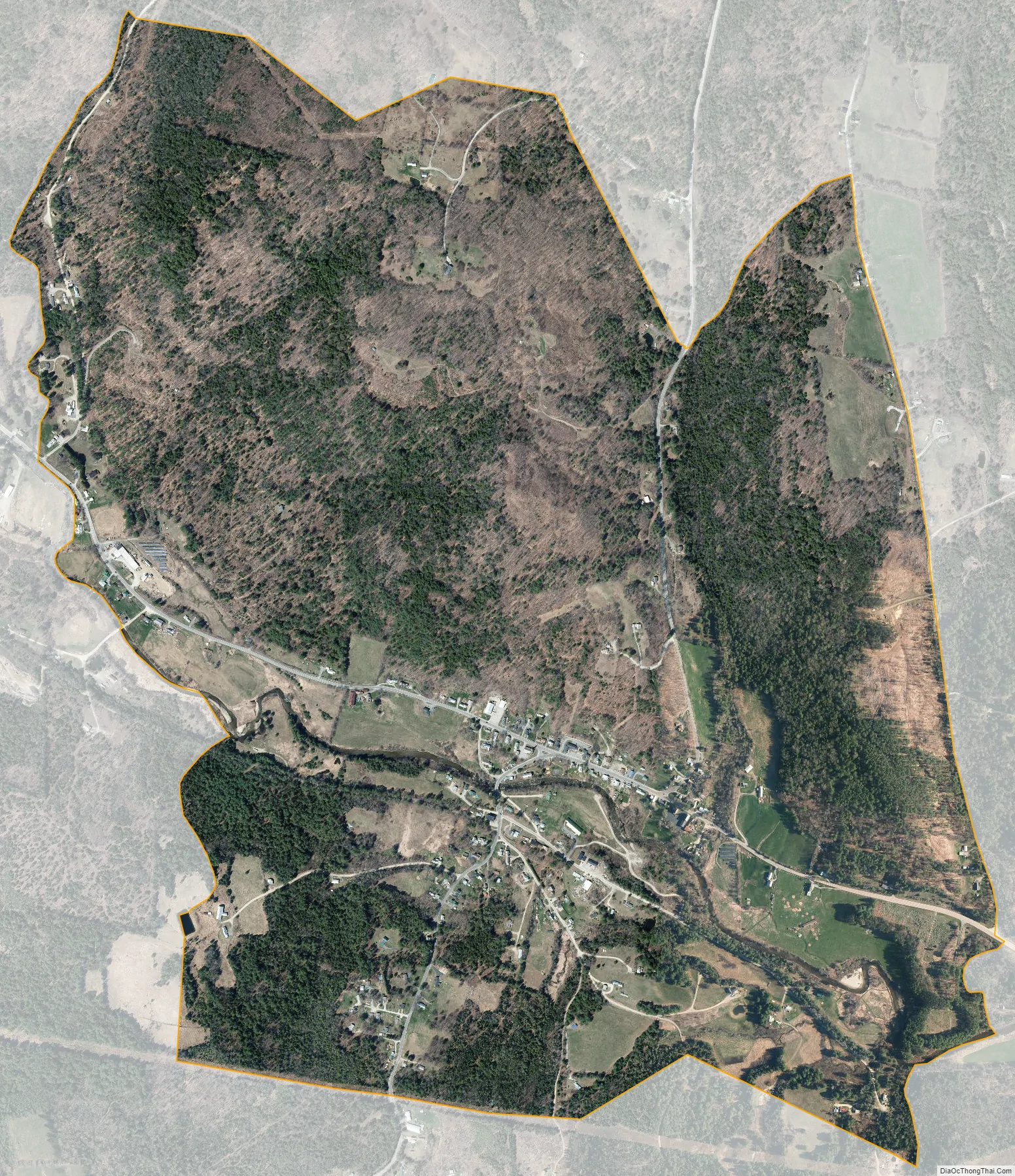
Groton is the primary village and a census-designated place (CDP) in the town of Groton, Caledonia County, Vermont, United States. As of the 2020 census, the CDP had a population of 419, out of 984 in the entire town of Groton.
Groton village is in southern Caledonia County, in the southeast corner of the town of Groton, along U.S. Route 302, which leads southeast 10 miles (16 km) to Wells River and southwest 20 miles (32 km) to Barre. The Wells River flows through the village, running southeast to the Connecticut River at the village of Wells River.
| Name: | Groton CDP |
|---|---|
| LSAD Code: | 57 |
| LSAD Description: | CDP (suffix) |
| State: | Vermont |
| County: | Caledonia County |
| Elevation: | 805 ft (245 m) |
| Total Area: | 2.39 sq mi (6.18 km²) |
| Land Area: | 2.36 sq mi (6.11 km²) |
| Water Area: | 0.03 sq mi (0.07 km²) |
| ZIP code: | 05046 |
| Area code: | 802 |
| FIPS code: | 5030475 |
| GNISfeature ID: | 2586635 |
Online Interactive Map
Click on ![]() to view map in "full screen" mode.
to view map in "full screen" mode.
Groton location map. Where is Groton CDP?
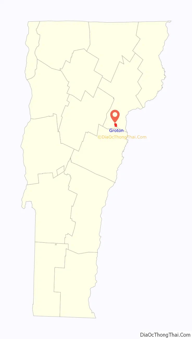
Groton Road Map
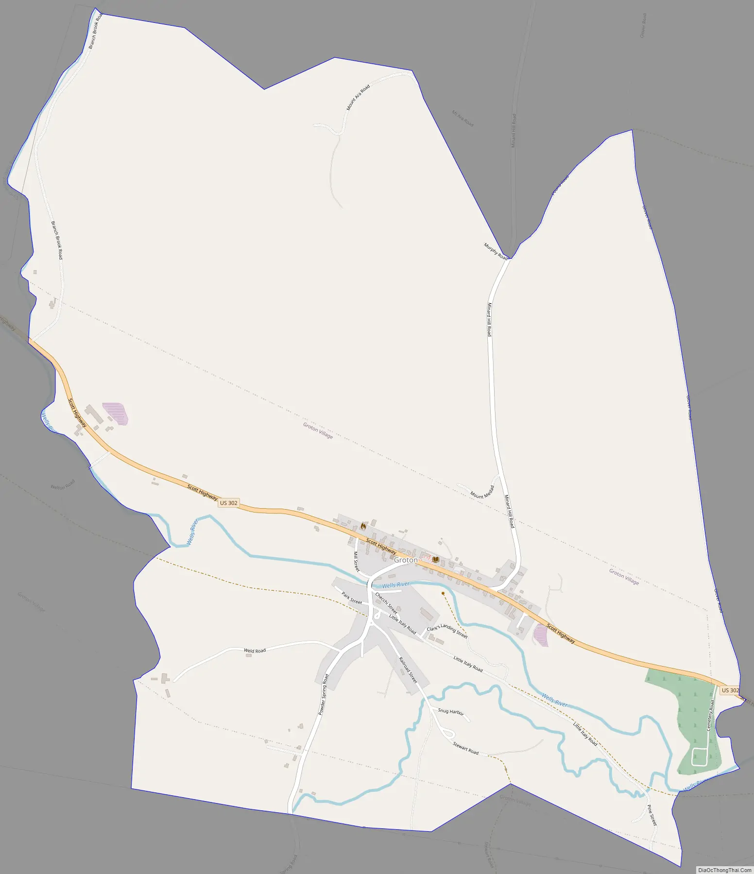
Groton city Satellite Map
See also
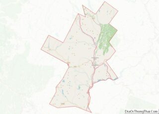
Map of Vermont State and its subdivision: Map of other states:- Alabama
- Alaska
- Arizona
- Arkansas
- California
- Colorado
- Connecticut
- Delaware
- District of Columbia
- Florida
- Georgia
- Hawaii
- Idaho
- Illinois
- Indiana
- Iowa
- Kansas
- Kentucky
- Louisiana
- Maine
- Maryland
- Massachusetts
- Michigan
- Minnesota
- Mississippi
- Missouri
- Montana
- Nebraska
- Nevada
- New Hampshire
- New Jersey
- New Mexico
- New York
- North Carolina
- North Dakota
- Ohio
- Oklahoma
- Oregon
- Pennsylvania
- Rhode Island
- South Carolina
- South Dakota
- Tennessee
- Texas
- Utah
- Vermont
- Virginia
- Washington
- West Virginia
- Wisconsin
- Wyoming