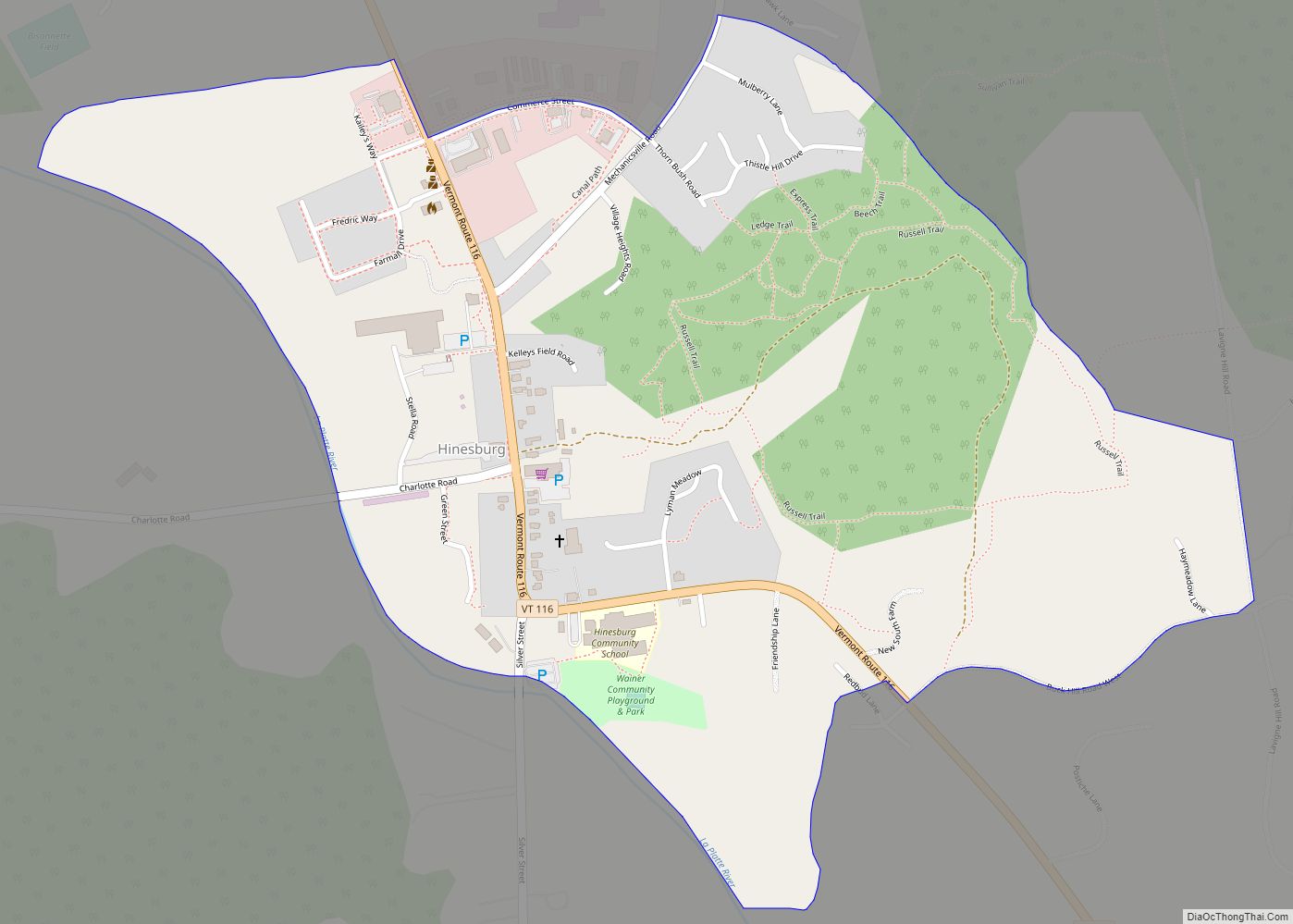
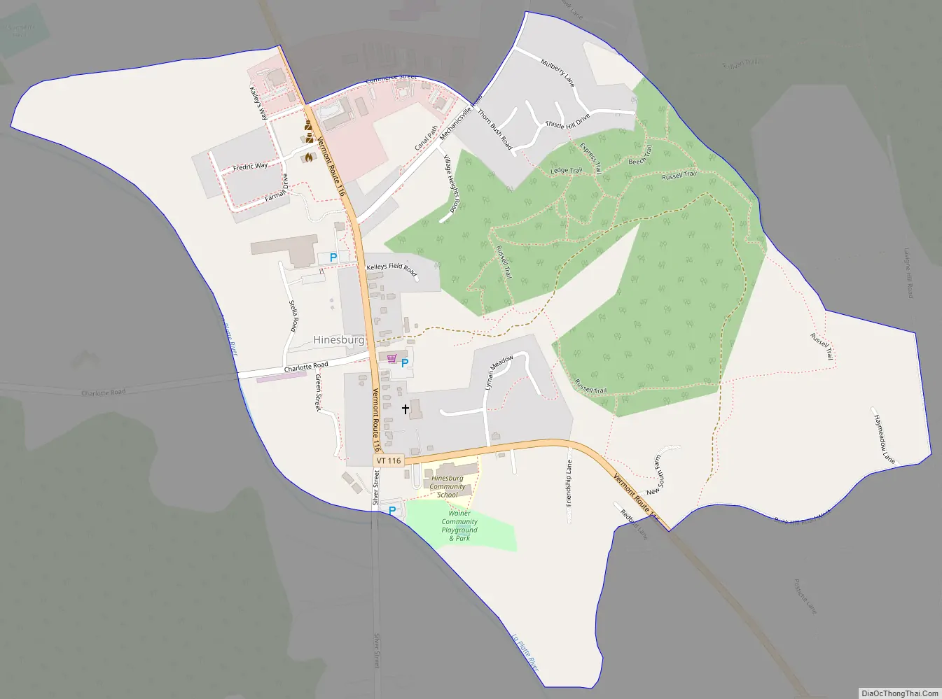
Hinesburg is the primary village and a census-designated place (CDP) in the town of Hinesburg, Chittenden County, Vermont, United States. As of the 2020 census, it had a population of 872, out of 4,698 in the entire town of Hinesburg.
The village is in southern Chittenden County, slightly northwest of the center of the town of Hinesburg. It is in the valley of the La Platte River, which flows northwest to Lake Champlain in the town of Shelburne. Vermont Route 116 passes through the village, leading north 10 miles (16 km) to South Burlington and south 17 miles (27 km) to Bristol.
| Name: | Hinesburg CDP |
|---|---|
| LSAD Code: | 57 |
| LSAD Description: | CDP (suffix) |
| State: | Vermont |
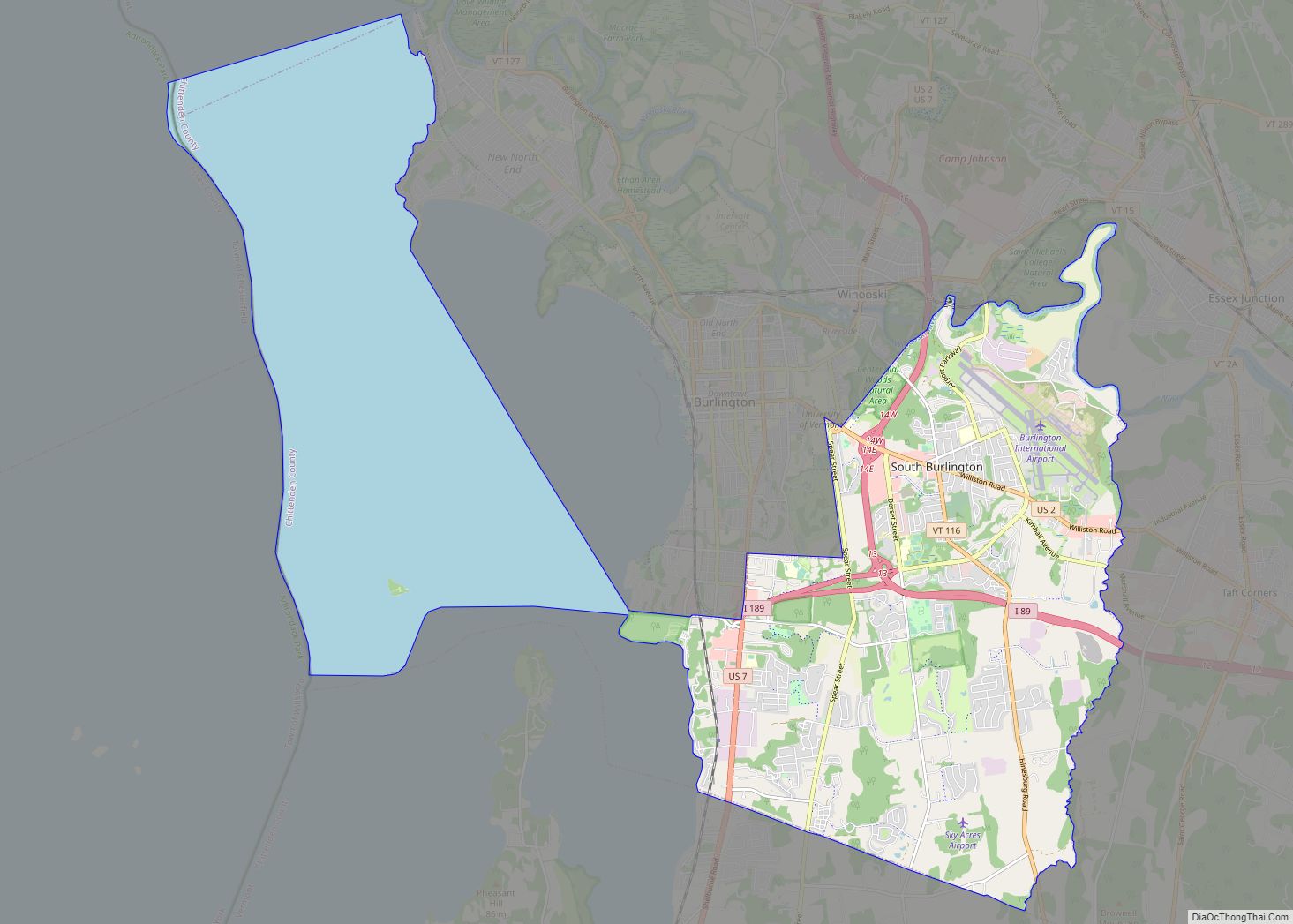
| County: | Chittenden County |
| Elevation: | 340 ft (100 m) |
| Total Area: | 1.246 sq mi (3.226 km²) |
| Land Area: | 1.244 sq mi (3.222 km²) |
| Water Area: | 0.002 sq mi (0.004 km²) |
| ZIP code: | 05461 |
| Area code: | 802 |
| FIPS code: | 5033400 |
| GNISfeature ID: | 2586640 |
Online Interactive Map
Click on ![]() to view map in "full screen" mode.
to view map in "full screen" mode.
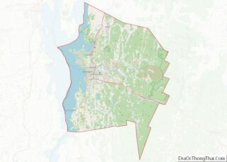
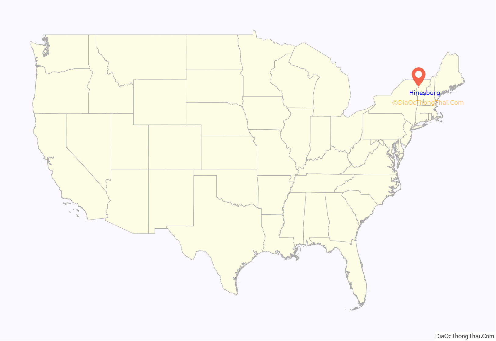
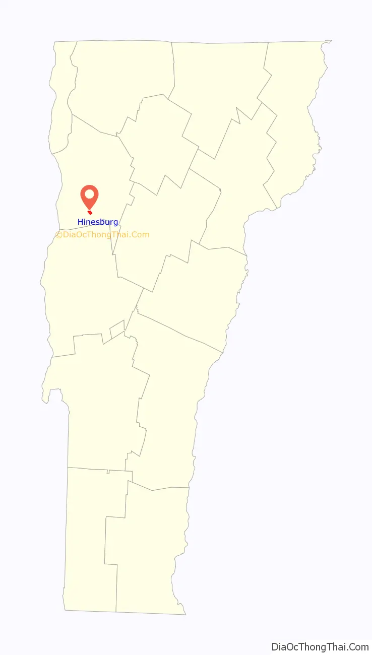
Hinesburg location map. Where is Hinesburg CDP?
Hinesburg Road Map
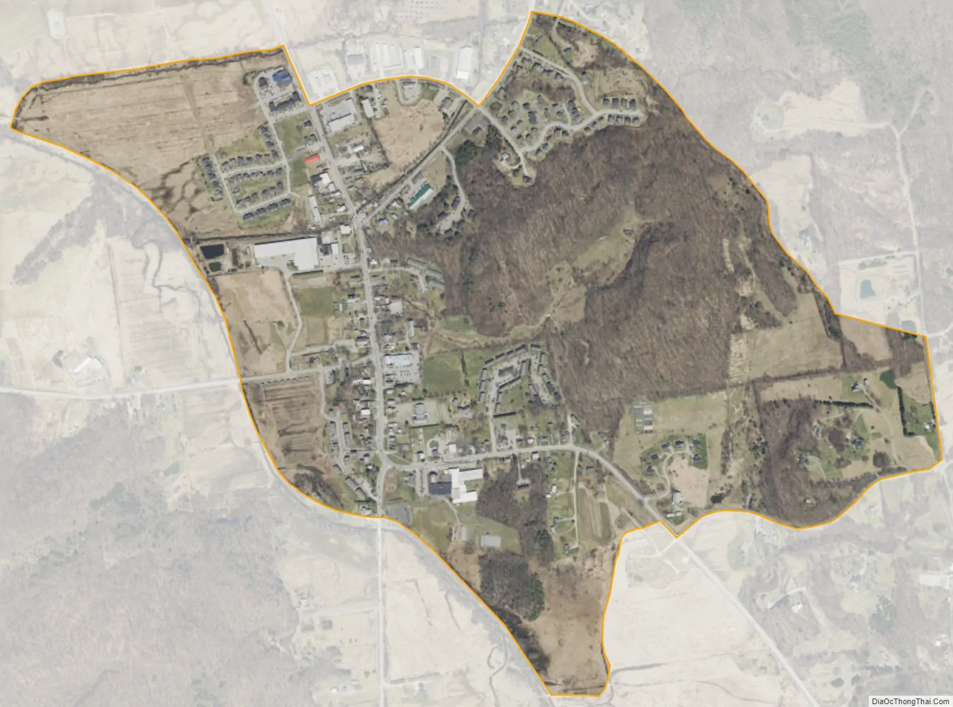
Hinesburg city Satellite Map
See also
Map of Vermont State and its subdivision: Map of other states:- Alabama
- Alaska
- Arizona
- Arkansas
- California
- Colorado
- Connecticut
- Delaware
- District of Columbia
- Florida
- Georgia
- Hawaii
- Idaho
- Illinois
- Indiana
- Iowa
- Kansas
- Kentucky
- Louisiana
- Maine
- Maryland
- Massachusetts
- Michigan
- Minnesota
- Mississippi
- Missouri
- Montana
- Nebraska
- Nevada
- New Hampshire
- New Jersey
- New Mexico
- New York
- North Carolina
- North Dakota
- Ohio
- Oklahoma
- Oregon
- Pennsylvania
- Rhode Island
- South Carolina
- South Dakota
- Tennessee
- Texas
- Utah
- Vermont
- Virginia
- Washington
- West Virginia
- Wisconsin
- Wyoming