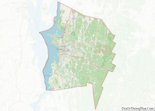
Jericho is a town in Chittenden County, Vermont, United States. As of the 2020 census, the population was 5,104. The town was named after the ancient city of Jericho.
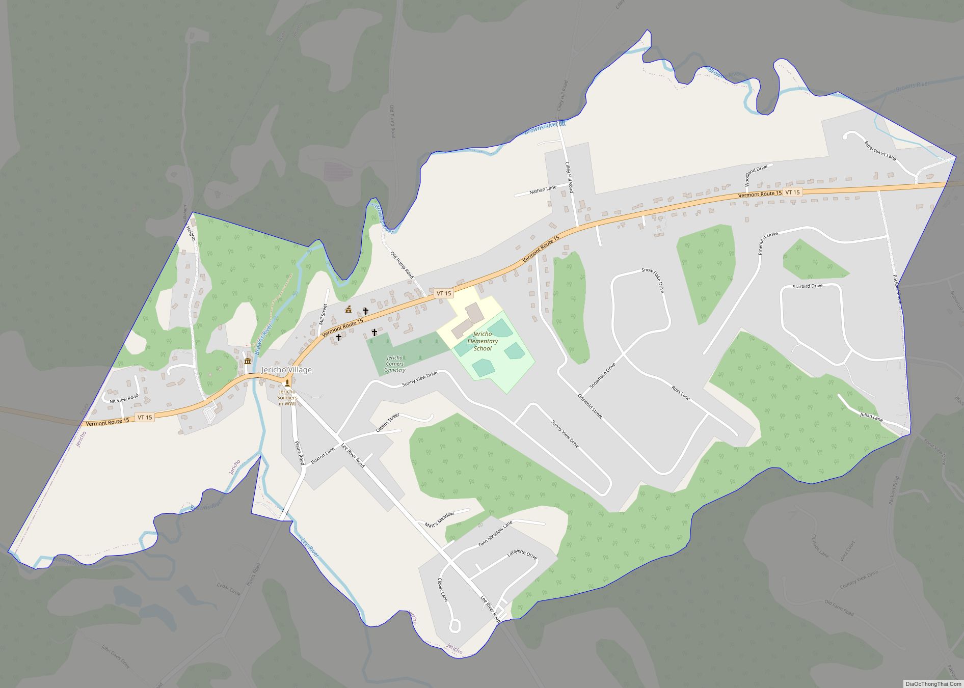
| Name: | Jericho village |
|---|---|
| LSAD Code: | 47 |
| LSAD Description: | village (suffix) |
| State: | Vermont |
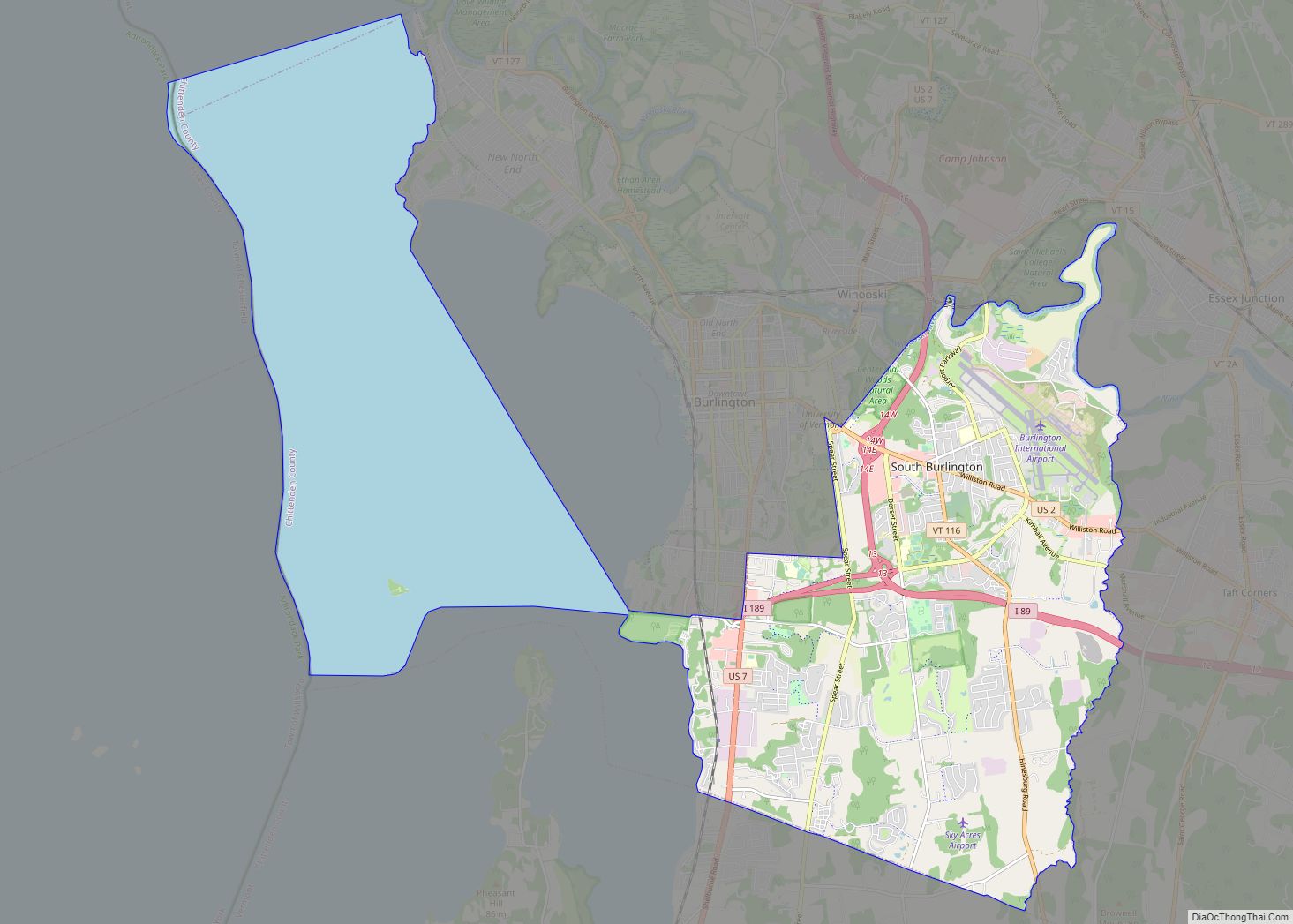
| County: | Chittenden County |
| Elevation: | 121 ft (37 m) |
| Total Area: | 35.6 sq mi (92.1 km²) |
| Land Area: | 35.4 sq mi (91.7 km²) |
| Water Area: | 0.2 sq mi (0.4 km²) |
| Total Population: | 5,104 |
| Population Density: | 140/sq mi (55/km²) |
| ZIP code: | 05465 |
| Area code: | 802 |
| FIPS code: | 5036625 |
| GNISfeature ID: | 1462128 |
| Website: | www.jerichovt.org |
Online Interactive Map
Click on ![]() to view map in "full screen" mode.
to view map in "full screen" mode.
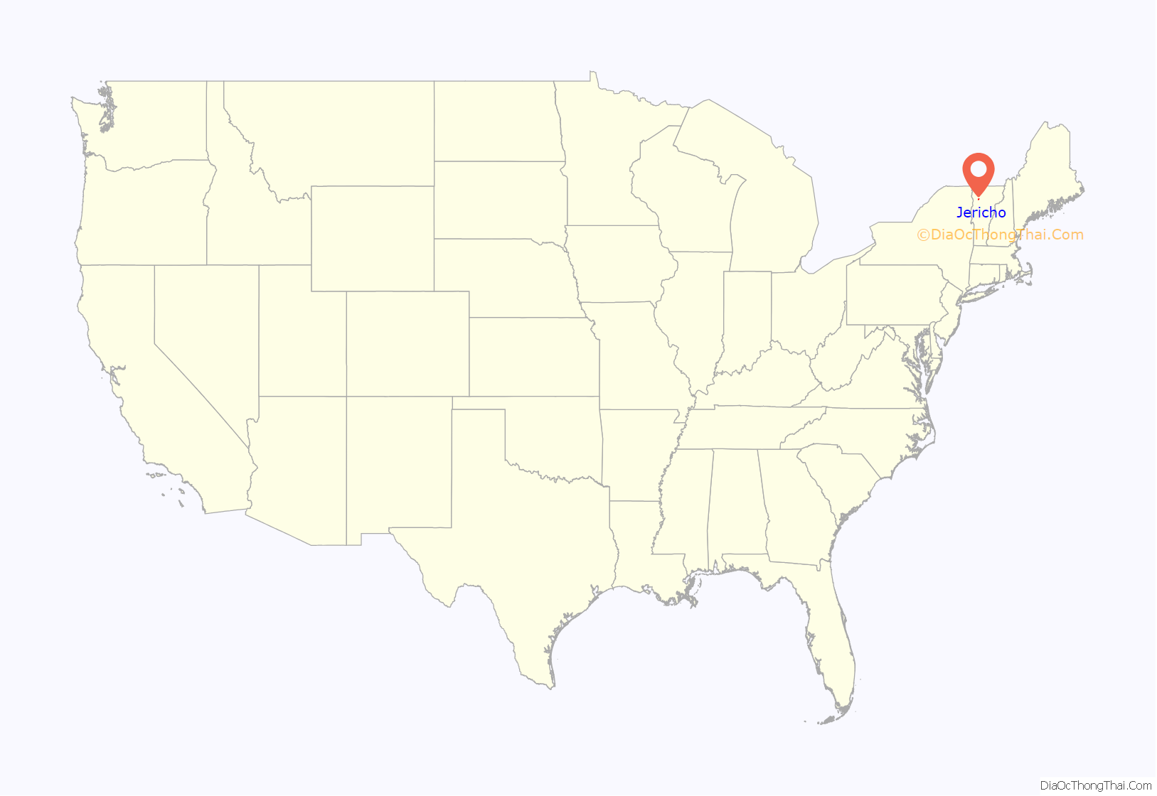
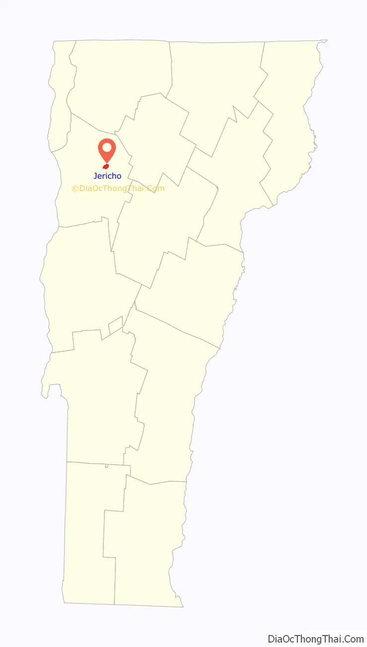
Jericho location map. Where is Jericho village?
History
Ira Allen and Remember Baker began surveying the town of Jericho in 1773 for the Onion River Land Company. The Browns were the first European family to settle in Jericho, in 1774, building a cabin near the Browns River.
In 1776, a detachment of the Continental Army was sent to garrison a blockhouse in Jericho along the Onion (Winooski) River. The garrison soon retreated back to Fort Ticonderoga within weeks of their arrival due to fears of British advance south from Canada. The officers involved, including Matthew Lyon, were tried and convicted by court martial for cowardice and disobeying orders to maintain the post. The location of the Jericho blockhouse is believed to have been along River Road near the intersection with Skunk Hollow.
In 1780 the Brown family was taken captive by a war party of British-allied Mohawks returning to Canada following the Royalton Raid.
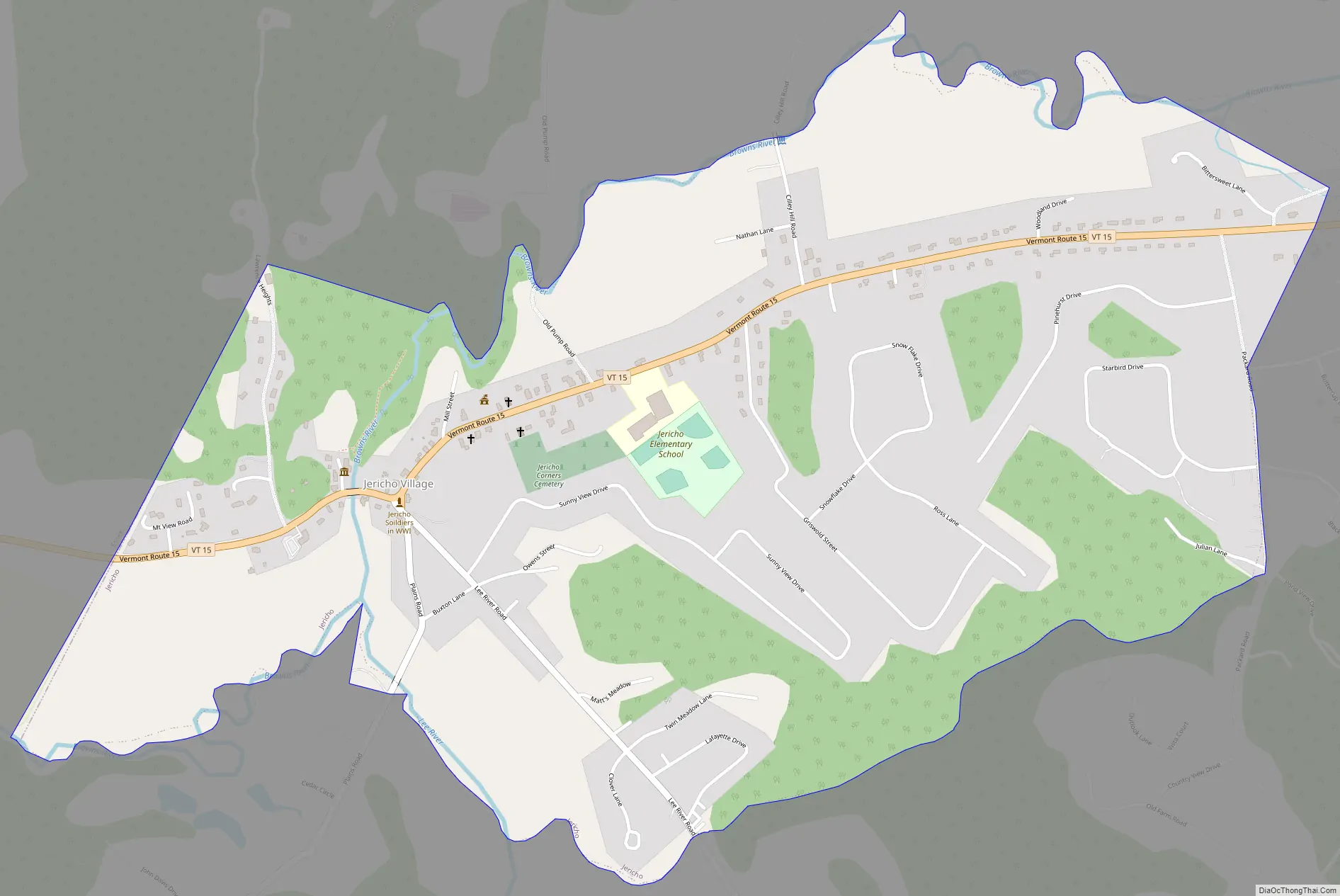
Jericho Road Map
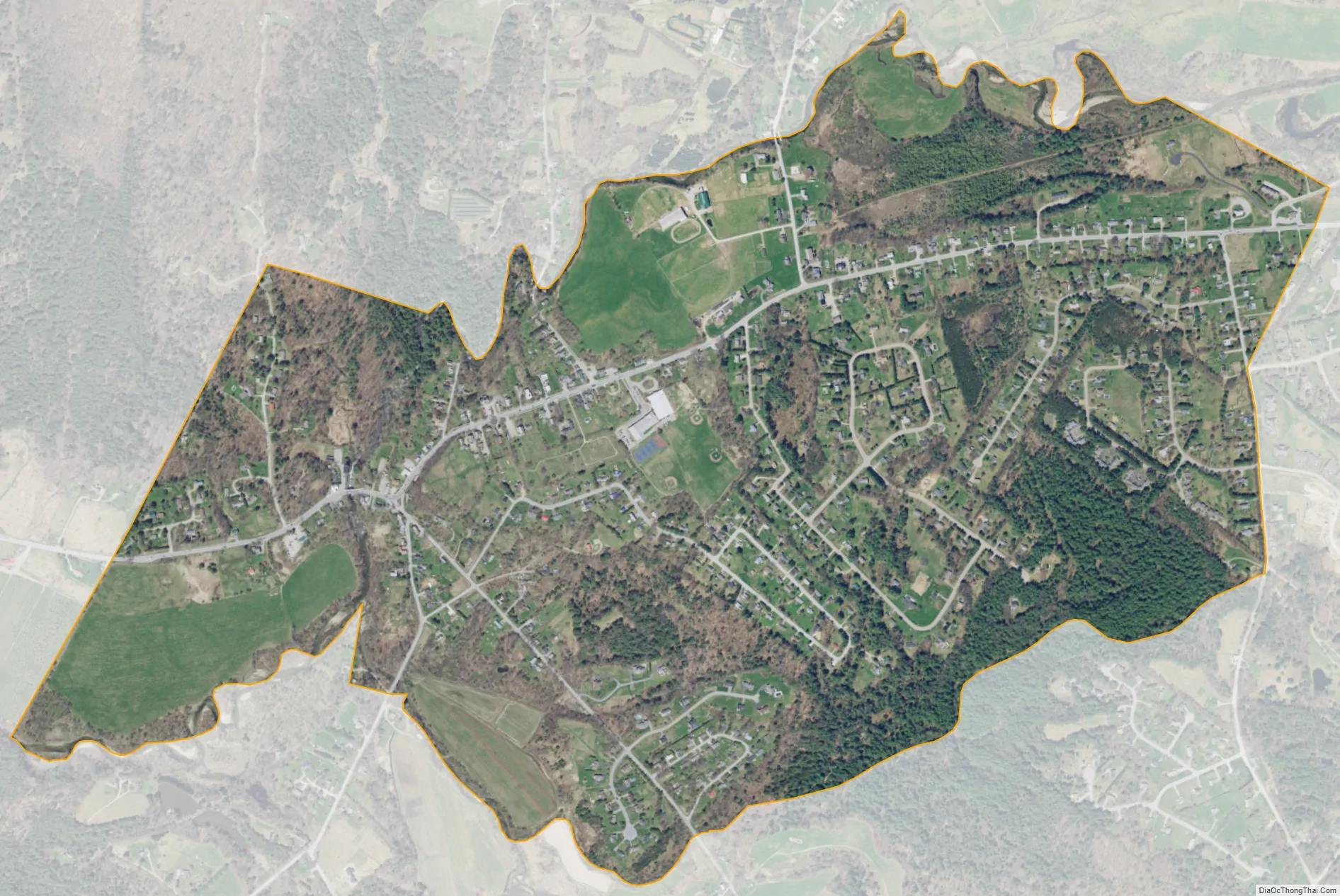
Jericho city Satellite Map
Geography
According to the United States Census Bureau, the town has a total area of 35.6 square miles (92.1 km), of which 35.4 square miles (91.7 km) is land and 0.15 square miles (0.4 km), or 0.45%, is water.
The town of Jericho has a connection with the neighboring town of Underhill. The area has four distinct village areas. The historic Old Red Mill, home of the Jericho Historical Society, stands in Jericho village (also known as Jericho Corners) on Route 15 in the northwest part of the town, an area that extends from the Browns River crossing near Joe’s Snack Bar eastward to the post office and the Jericho Elementary School. Jericho Corners is the location of the Galusha House, home of Truman Galusha, a brick Federal-style house built in 1790 and like Jericho’s Old Red Mill, listed on the National Register of Historic Places.
Jericho’s second village, Jericho Center, on Browns Trace, is home to several historic buildings, churches, and Jericho Center Country Store, Vermont’s oldest continuously running general store. The Jericho Center Village has a village green, or “Common”, a typical park-like center of a Vermont village, surrounded by historic buildings.
Half of the Underhill Flats area on Route 15 is within Jericho. This area features the multi-use Mills Riverside Park and two general stores (Jolley & Jacob’s).
Underhill Center in the town of Underhill has one general store, as well as St. Thomas Catholic Church, a small postal office, and access to Underhill State Park.
Jericho is home to the Chittenden East Wolverines of the Northern Vermont Youth Football League, Cub Scout Pack 620, and one of Vermont’s oldest and largest Boy Scout troops, Troop 627.
The two towns share the Underhill-Jericho Fire Department.
See also
Map of Vermont State and its subdivision: Map of other states:- Alabama
- Alaska
- Arizona
- Arkansas
- California
- Colorado
- Connecticut
- Delaware
- District of Columbia
- Florida
- Georgia
- Hawaii
- Idaho
- Illinois
- Indiana
- Iowa
- Kansas
- Kentucky
- Louisiana
- Maine
- Maryland
- Massachusetts
- Michigan
- Minnesota
- Mississippi
- Missouri
- Montana
- Nebraska
- Nevada
- New Hampshire
- New Jersey
- New Mexico
- New York
- North Carolina
- North Dakota
- Ohio
- Oklahoma
- Oregon
- Pennsylvania
- Rhode Island
- South Carolina
- South Dakota
- Tennessee
- Texas
- Utah
- Vermont
- Virginia
- Washington
- West Virginia
- Wisconsin
- Wyoming