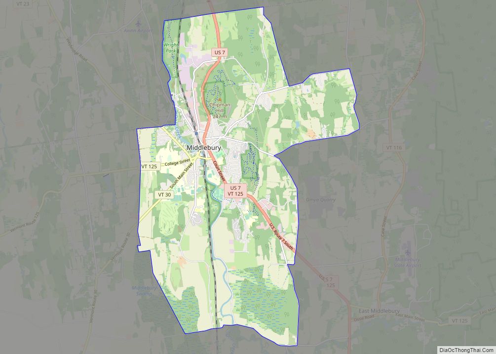
Middlebury is the main settlement in the town of Middlebury in Addison County, Vermont, United States, and a census-designated place (CDP). The population was 7,304 at the 2020 census, out of a total population of 9,152 in the town of Middlebury. Most of the village is listed on the National Register of Historic Places as the Middlebury Village Historic District.
| Name: | Middlebury CDP |
|---|---|
| LSAD Code: | 57 |
| LSAD Description: | CDP (suffix) |
| State: | Vermont |
| County: | Addison County |
| Elevation: | 404 ft (123 m) |
| Total Area: | 14.1 sq mi (36.5 km²) |
| Land Area: | 13.9 sq mi (36.0 km²) |
| Water Area: | 0.2 sq mi (0.5 km²) |
| Total Population: | 7,304 |
| Population Density: | 526/sq mi (202.9/km²) |
| ZIP code: | 05753 |
| Area code: | 802 |
| FIPS code: | 5044275 |
| GNISfeature ID: | 1458435 |
Online Interactive Map
Click on ![]() to view map in "full screen" mode.
to view map in "full screen" mode.
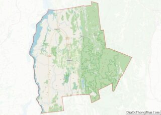
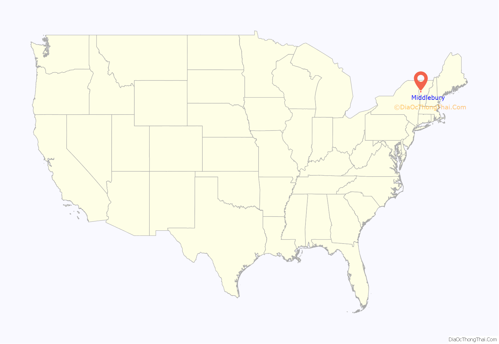
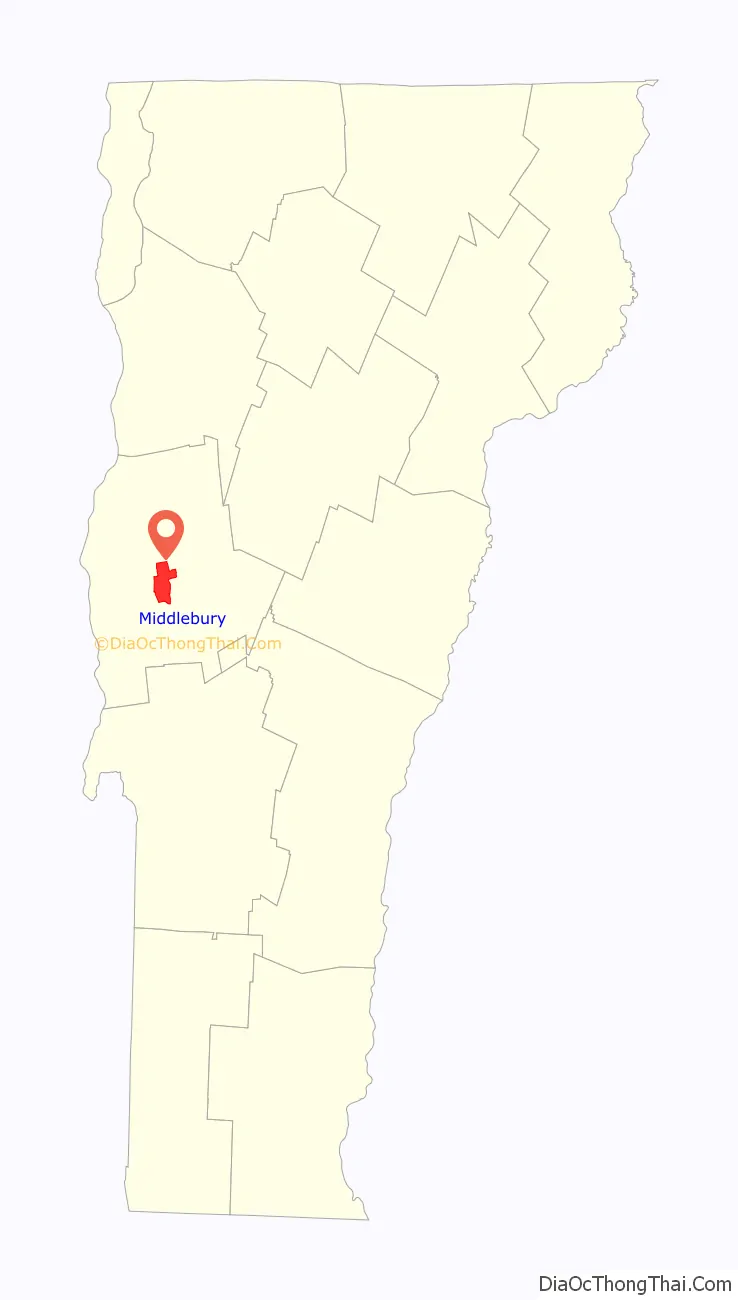
Middlebury location map. Where is Middlebury CDP?
History
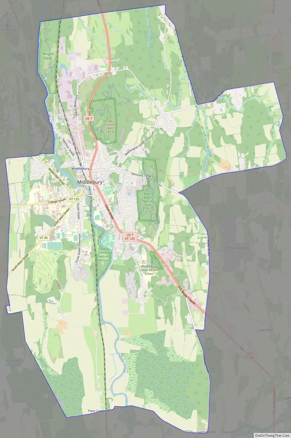
The village of Middlebury grew as one of Addison County’s early industrial centers, due to the presence of a significant waterfall on Otter Creek. The area around the falls developed as the center of industry, with mills lining the river in the Frog Hollow area (Mill Street), where the 1840 Stone Mill is one of the only survivors of that past. It also became a major stop on north-south stagecoach routes, running between Burlington and Rutland. The town green is located directly on this historic route (now United States Route 7), and features important examples of civic and religious architecture. The local Congregational Church, built 1806-09, is the oldest in the county, and is a fine example of Federal period architecture. Also impressive are the Middlebury Inn, built 1826 and restyled later in the 19th and early 20th centuries. Middlebury College was founded in 1800, and its campus is located just southwest of the village center. Another important educational milestone was the 1814 founding by Emma Willard of a private school for women, located in her house on South Main Street. Much of the village was listed on the National Register of Historic Places in 1976, with a significant enlargement in 1980.
Middlebury Road Map
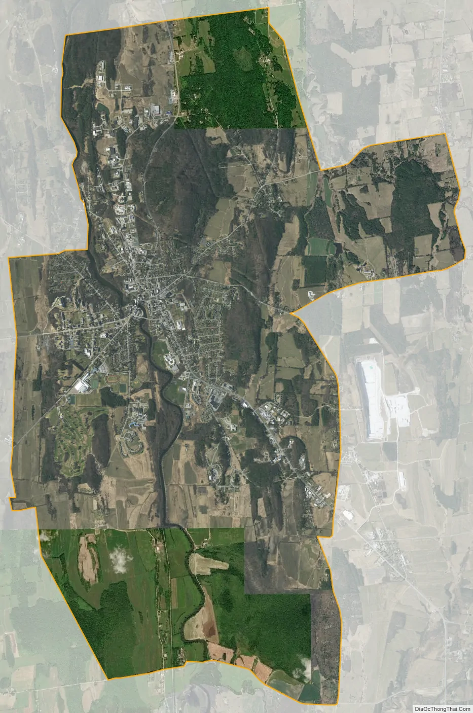
Middlebury city Satellite Map
Geography
The Middlebury CDP is located in the northwest part of the town of Middlebury, centered on a falls on Otter Creek. According to the United States Census Bureau, the CDP has a total area of 14.1 square miles (36.5 km), of which 13.9 square miles (36.0 km) is land and 0.19 square miles (0.5 km), or 1.31%, is water.
See also
Map of Vermont State and its subdivision: Map of other states:- Alabama
- Alaska
- Arizona
- Arkansas
- California
- Colorado
- Connecticut
- Delaware
- District of Columbia
- Florida
- Georgia
- Hawaii
- Idaho
- Illinois
- Indiana
- Iowa
- Kansas
- Kentucky
- Louisiana
- Maine
- Maryland
- Massachusetts
- Michigan
- Minnesota
- Mississippi
- Missouri
- Montana
- Nebraska
- Nevada
- New Hampshire
- New Jersey
- New Mexico
- New York
- North Carolina
- North Dakota
- Ohio
- Oklahoma
- Oregon
- Pennsylvania
- Rhode Island
- South Carolina
- South Dakota
- Tennessee
- Texas
- Utah
- Vermont
- Virginia
- Washington
- West Virginia
- Wisconsin
- Wyoming