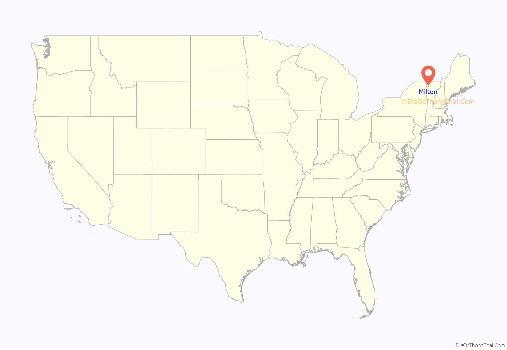
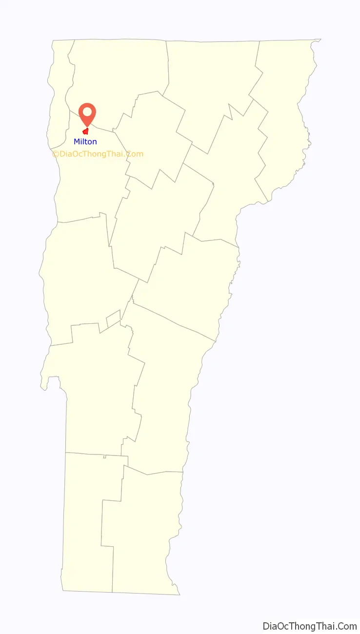
Milton is an unincorporated village within the town of Milton in Chittenden County, Vermont, United States. The village disincorporated in 2003 and became a census-designated place (CDP) in 2008. As of the 2020 census the population was 3,804, out of a population of 10,723 for the entire town.
| Name: | Milton CDP |
|---|---|
| LSAD Code: | 57 |
| LSAD Description: | CDP (suffix) |
| State: | Vermont |
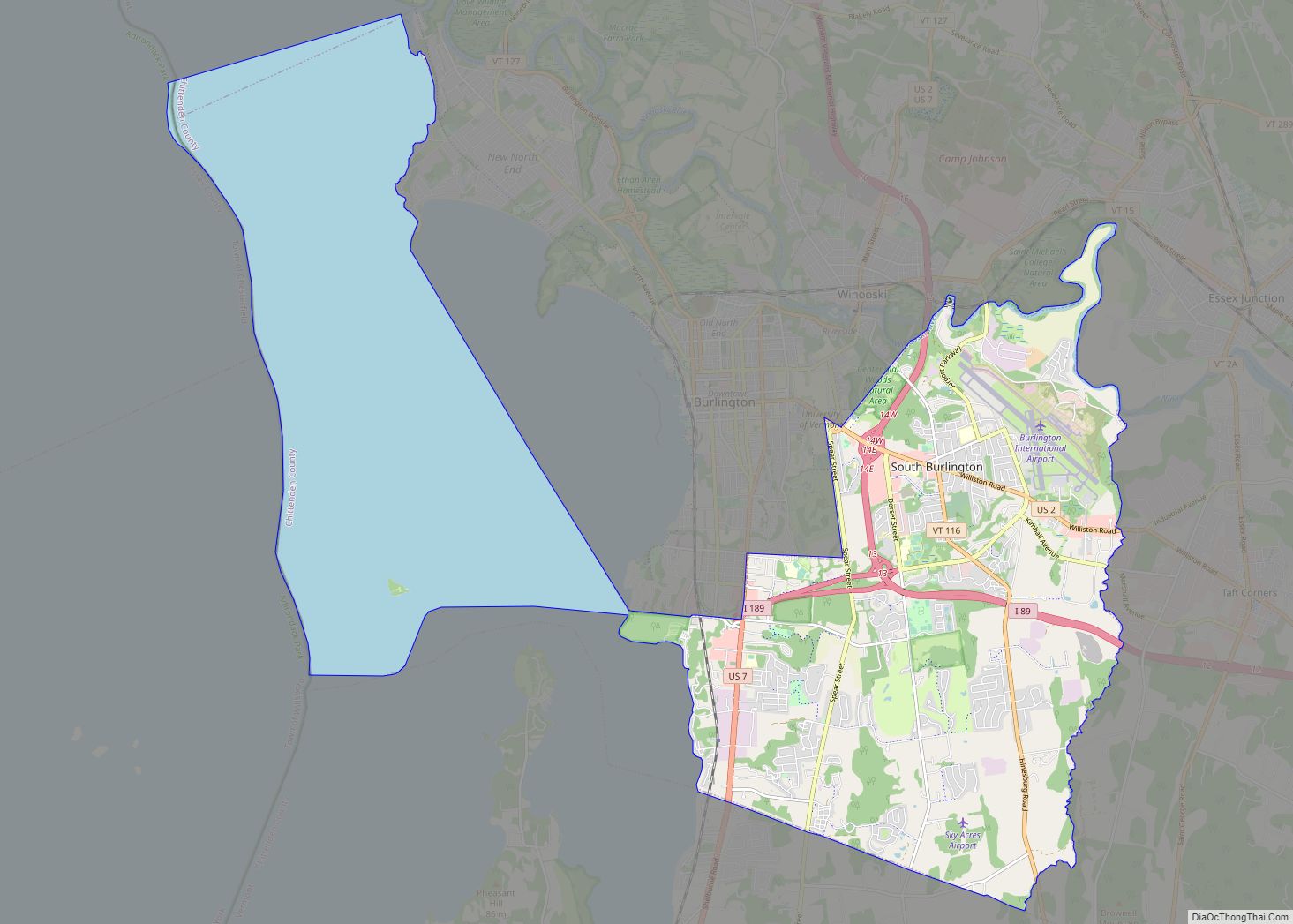
| County: | Chittenden County |
| Elevation: | 300 ft (90 m) |
| Total Area: | 1.4 sq mi (3.7 km²) |
| Land Area: | 1.4 sq mi (3.6 km²) |
| Water Area: | 0.04 sq mi (0.1 km²) |
| Total Population: | 3,804 |
| Population Density: | 2,700/sq mi (1,000/km²) |
| ZIP code: | 05468 |
| Area code: | 802 |
| FIPS code: | 5045175 |
Online Interactive Map
Click on ![]() to view map in "full screen" mode.
to view map in "full screen" mode.
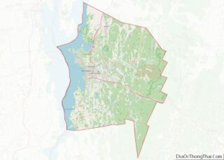
Milton location map. Where is Milton CDP?
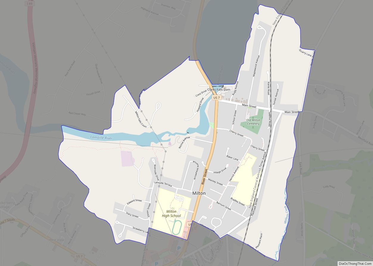
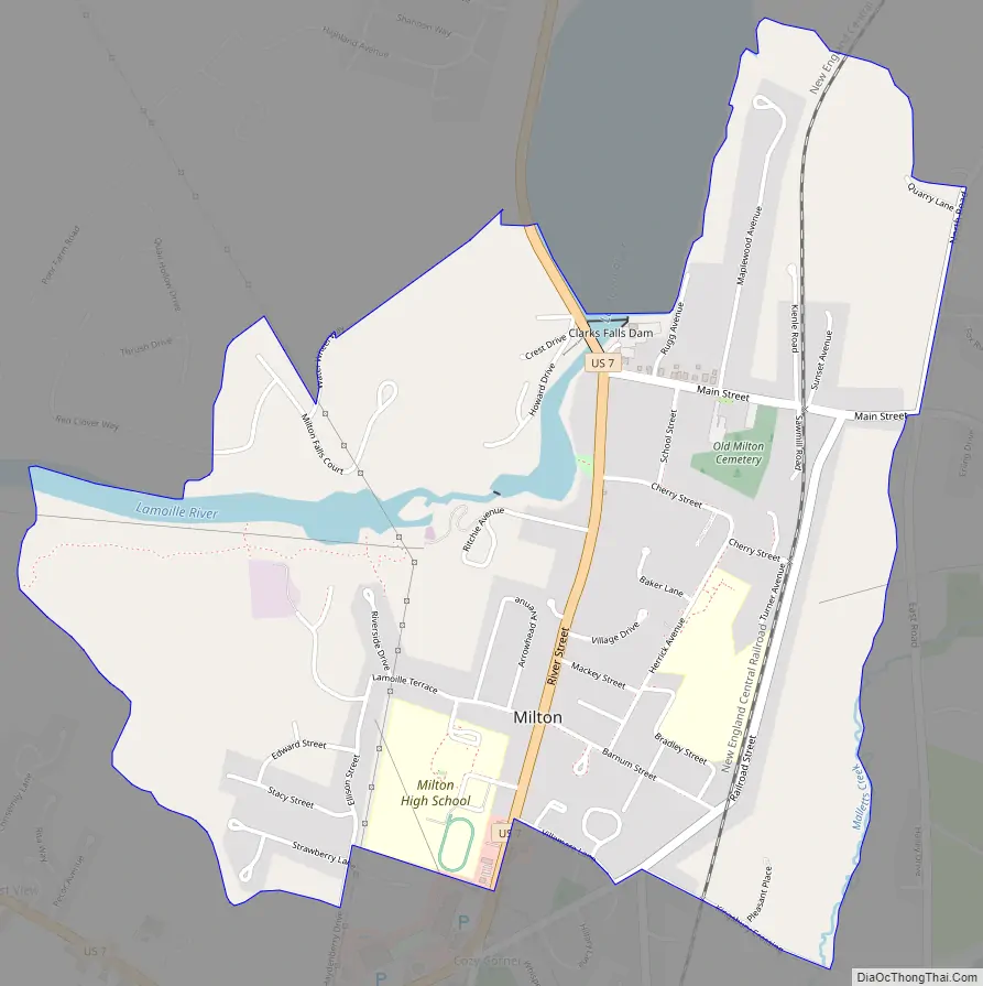
Milton Road Map
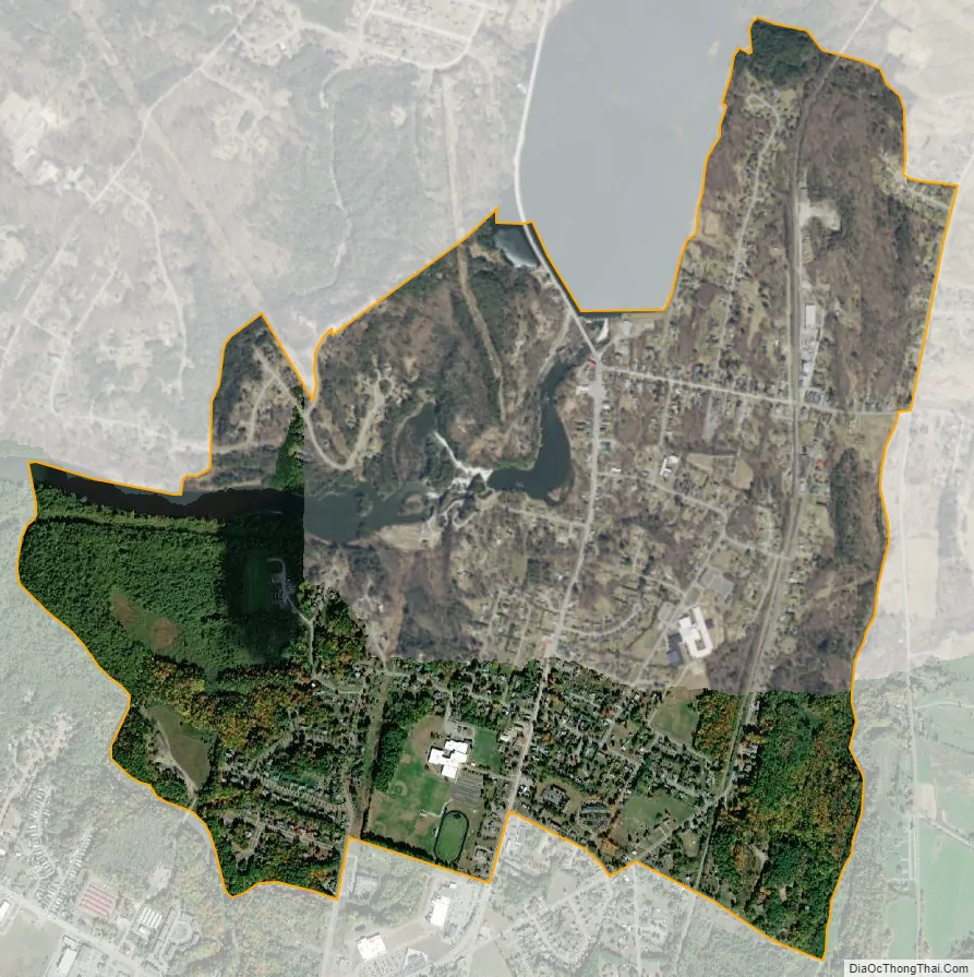
Milton city Satellite Map
Geography
Milton is located in the east part of the town of Milton along the Lamoille River at the outlet of Arrowhead Mountain Lake. The river drops more than 100 feet (30 m) in elevation over ledges in the western part of the CDP. U.S. Route 7 passes through the center of town, leading north 13 miles (21 km) to St. Albans and south 16 miles (26 km) to Burlington.
According to the United States Census Bureau, the Milton CDP has a total area of 1.4 square miles (3.7 km), of which 1.4 square miles (3.6 km) is land and 0.04 square miles (0.1 km), or 2.90%, is water.
See also
Map of Vermont State and its subdivision: Map of other states:- Alabama
- Alaska
- Arizona
- Arkansas
- California
- Colorado
- Connecticut
- Delaware
- District of Columbia
- Florida
- Georgia
- Hawaii
- Idaho
- Illinois
- Indiana
- Iowa
- Kansas
- Kentucky
- Louisiana
- Maine
- Maryland
- Massachusetts
- Michigan
- Minnesota
- Mississippi
- Missouri
- Montana
- Nebraska
- Nevada
- New Hampshire
- New Jersey
- New Mexico
- New York
- North Carolina
- North Dakota
- Ohio
- Oklahoma
- Oregon
- Pennsylvania
- Rhode Island
- South Carolina
- South Dakota
- Tennessee
- Texas
- Utah
- Vermont
- Virginia
- Washington
- West Virginia
- Wisconsin
- Wyoming