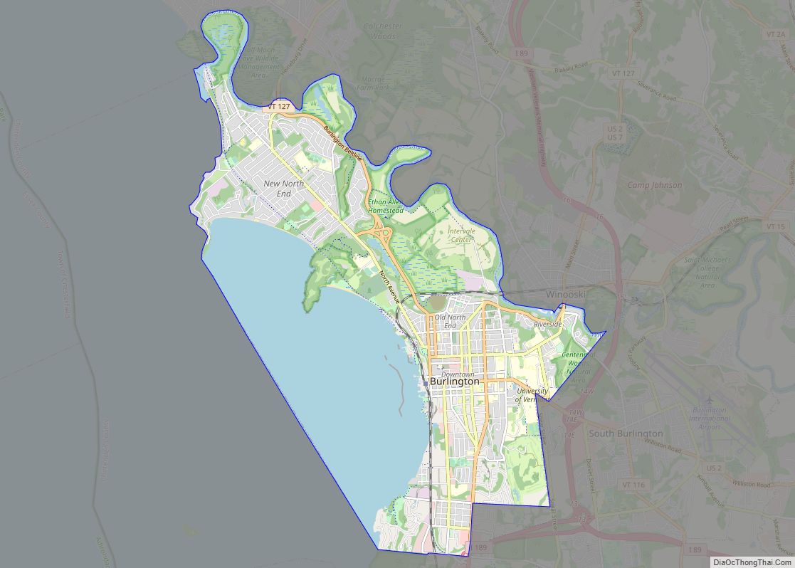
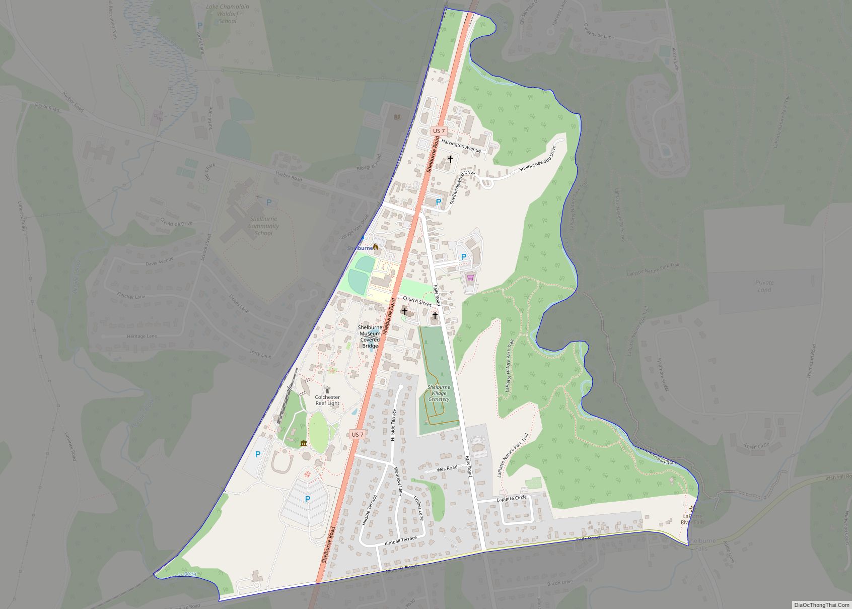
Shelburne is a census-designated place (CDP) comprising the central village and surrounding suburban land in the town of Shelburne, Chittenden County, Vermont, United States. As of the 2020 census, the CDP had a population of 6,178, out of 7,717 in the entire town.
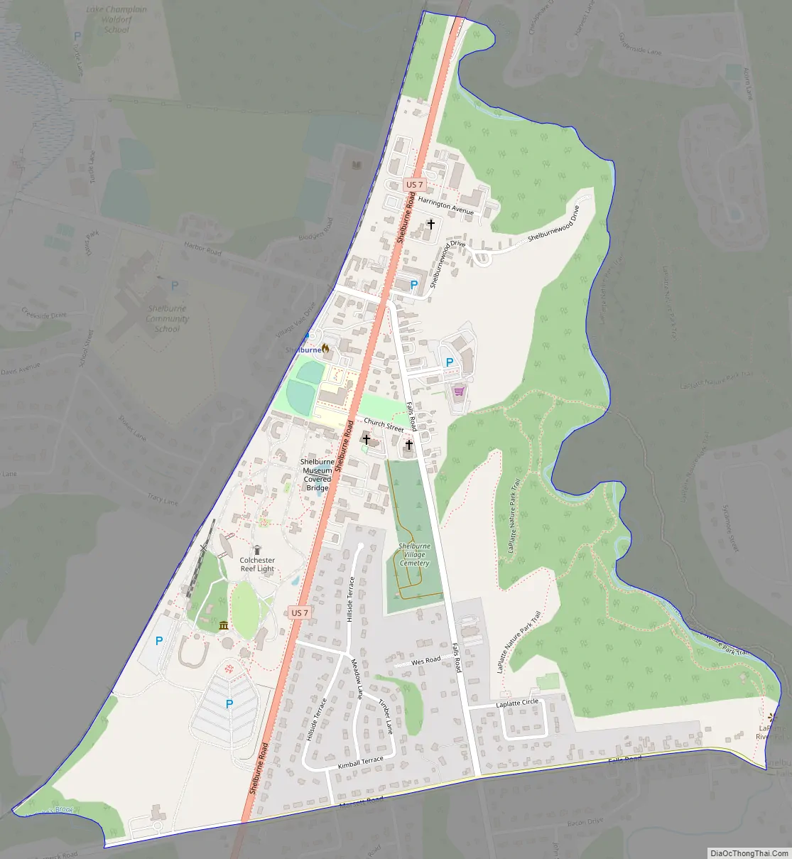
The CDP is in western Chittenden County, in the central part of the town of Shelburne, extending to the north and south borders of the town. U.S. Route 7 runs the length of the CDP, leading north into South Burlington and south into the town of Charlotte. Downtown Burlington is 7 miles (11 km) to the north. The Shelburne Museum is in the southwest part of the CDP, on the west side of Route 7.
| Name: | Shelburne CDP |
|---|---|
| LSAD Code: | 57 |
| LSAD Description: | CDP (suffix) |
| State: | Vermont |
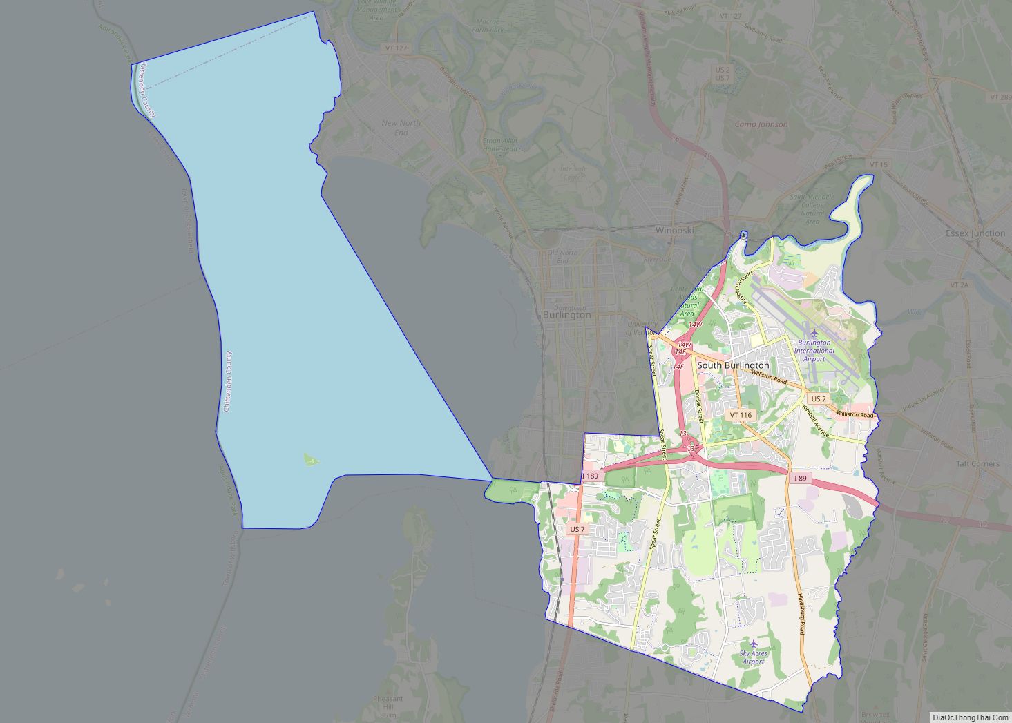
| County: | Chittenden County |
| Elevation: | 150 ft (50 m) |
| Total Area: | 7.8 sq mi (20.2 km²) |
| Land Area: | 7.2 sq mi (18.6 km²) |
| Water Area: | 0.6 sq mi (1.6 km²) |
| ZIP code: | 05482 |
| Area code: | 802 |
| FIPS code: | 5064225 |
| GNISfeature ID: | 2586653 |
Online Interactive Map
Click on ![]() to view map in "full screen" mode.
to view map in "full screen" mode.
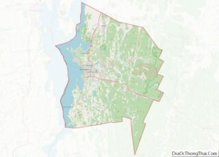
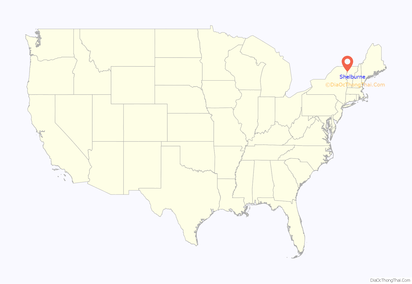
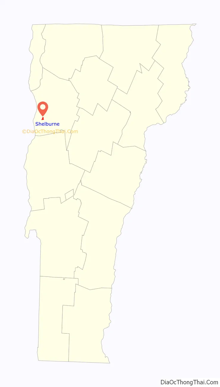
Shelburne location map. Where is Shelburne CDP?
Shelburne Road Map
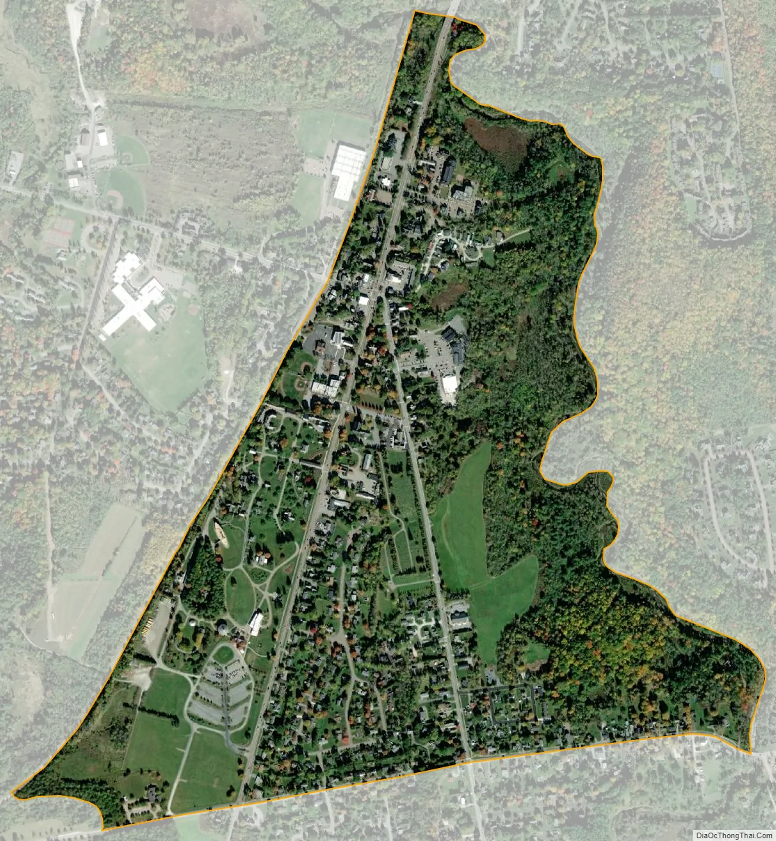
Shelburne city Satellite Map
See also
Map of Vermont State and its subdivision: Map of other states:- Alabama
- Alaska
- Arizona
- Arkansas
- California
- Colorado
- Connecticut
- Delaware
- District of Columbia
- Florida
- Georgia
- Hawaii
- Idaho
- Illinois
- Indiana
- Iowa
- Kansas
- Kentucky
- Louisiana
- Maine
- Maryland
- Massachusetts
- Michigan
- Minnesota
- Mississippi
- Missouri
- Montana
- Nebraska
- Nevada
- New Hampshire
- New Jersey
- New Mexico
- New York
- North Carolina
- North Dakota
- Ohio
- Oklahoma
- Oregon
- Pennsylvania
- Rhode Island
- South Carolina
- South Dakota
- Tennessee
- Texas
- Utah
- Vermont
- Virginia
- Washington
- West Virginia
- Wisconsin
- Wyoming