Freedom is an unincorporated community in both northeastern Caribou County, Idaho, and northwestern Lincoln County, Wyoming, in the United States; the Wyoming portion of the community is also a census-designated place (CDP). The population was 214 at the 2010 census.
| Name: | Freedom CDP |
|---|---|
| LSAD Code: | 57 |
| LSAD Description: | CDP (suffix) |
| State: | Wyoming |
| County: | Lincoln County |
| Elevation: | 5,777 ft (1,761 m) |
| Total Area: | 4.0 sq mi (10 km²) |
| Land Area: | 4.0 sq mi (10 km²) |
| Water Area: | 0.0 sq mi (0 km²) |
| Total Population: | 214 |
| Population Density: | 54/sq mi (21/km²) |
| ZIP code: | 83120 |
| FIPS code: | 5630115 |
| GNISfeature ID: | 397726 |
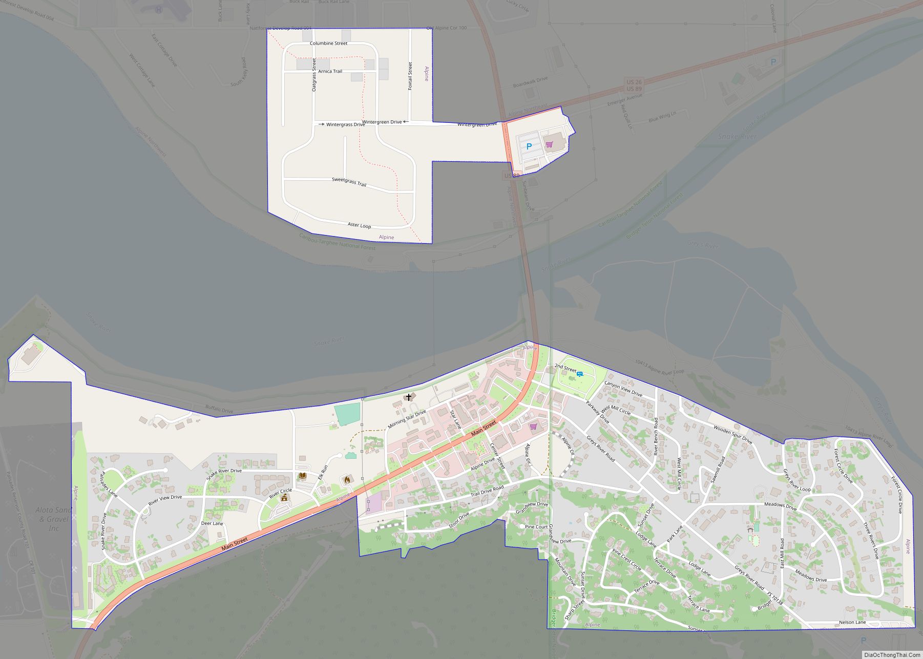
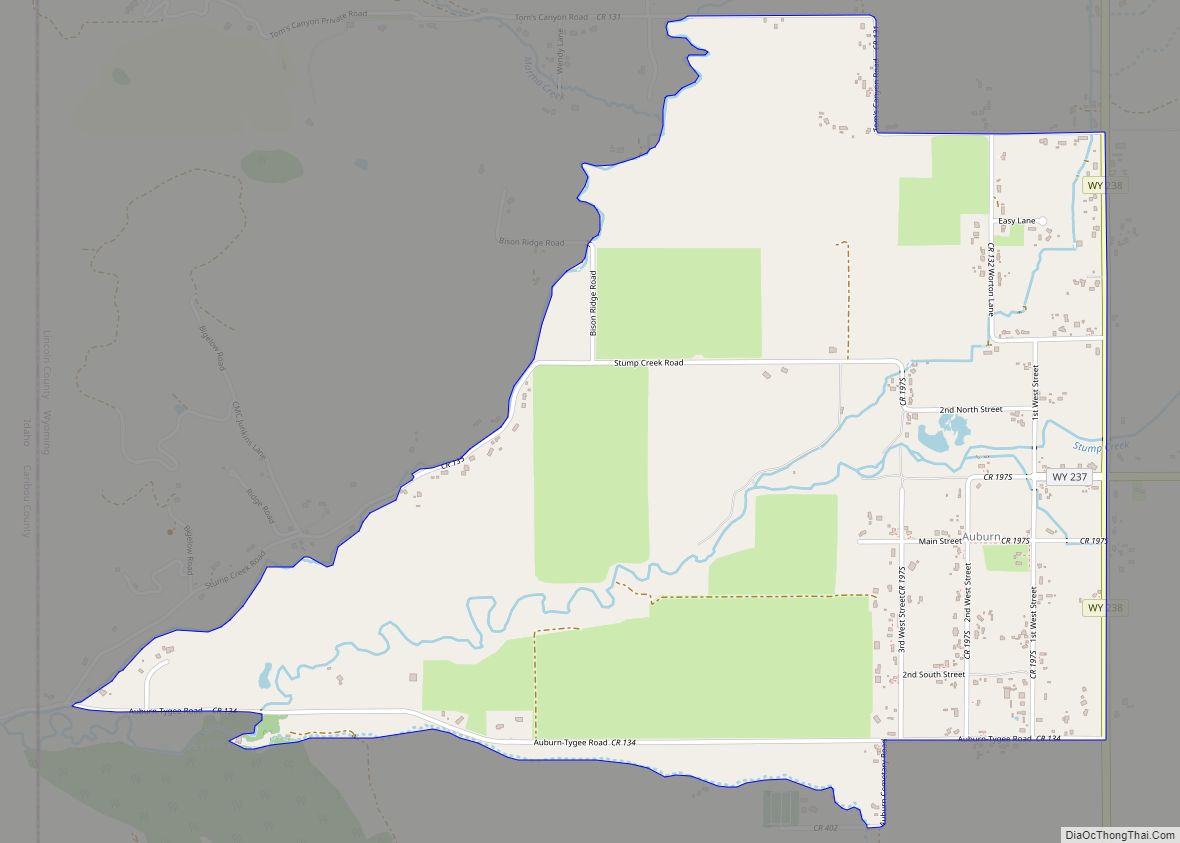
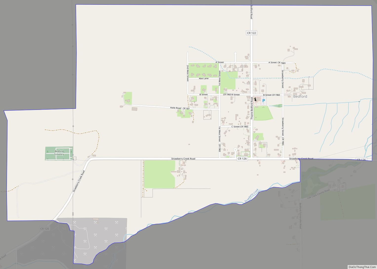
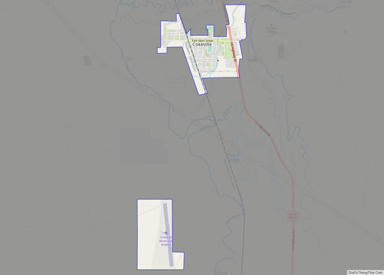
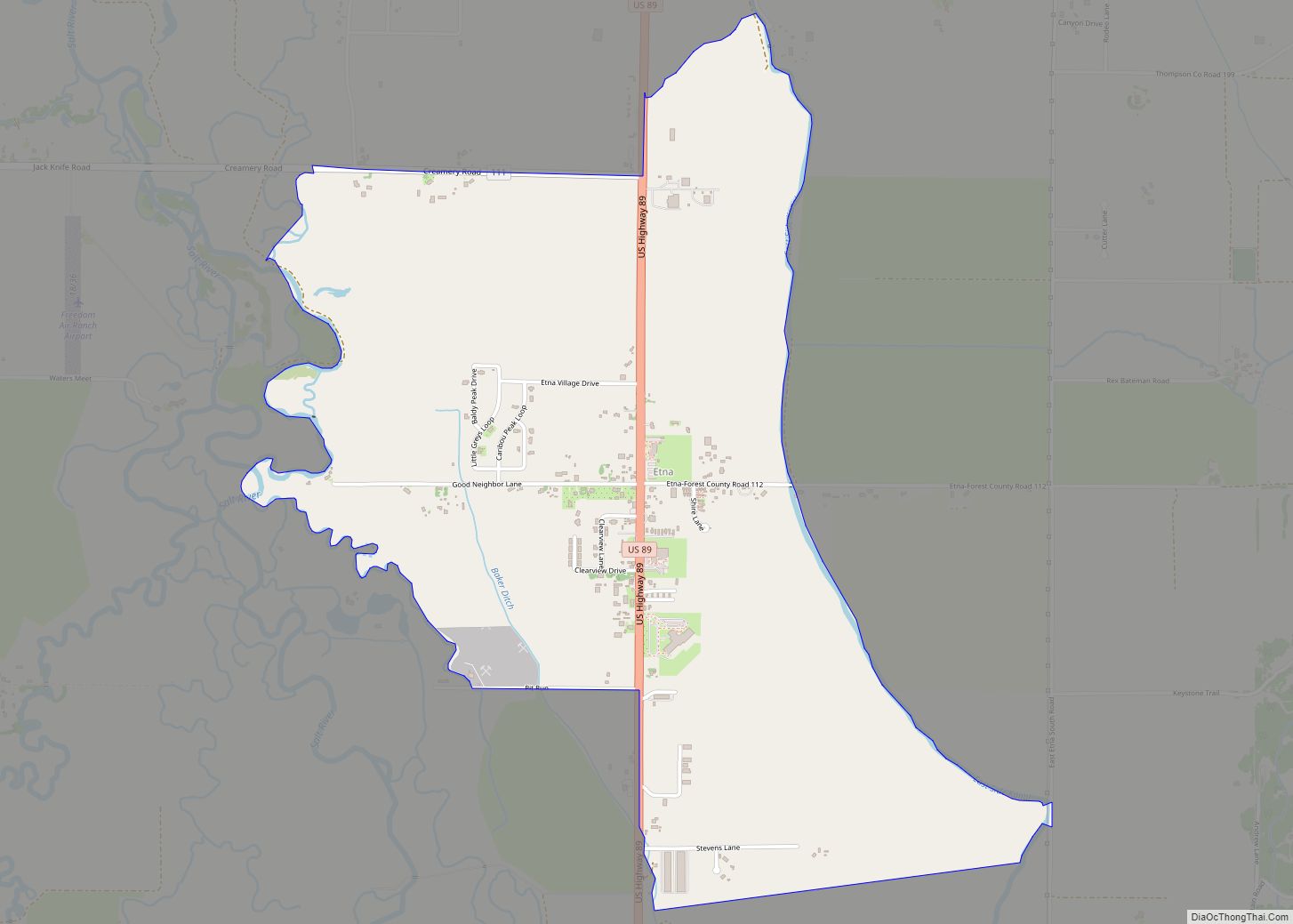
Online Interactive Map
Click on ![]() to view map in "full screen" mode.
to view map in "full screen" mode.
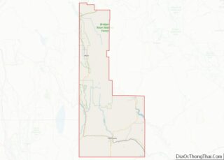
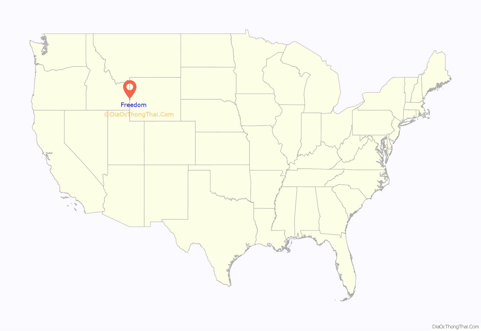
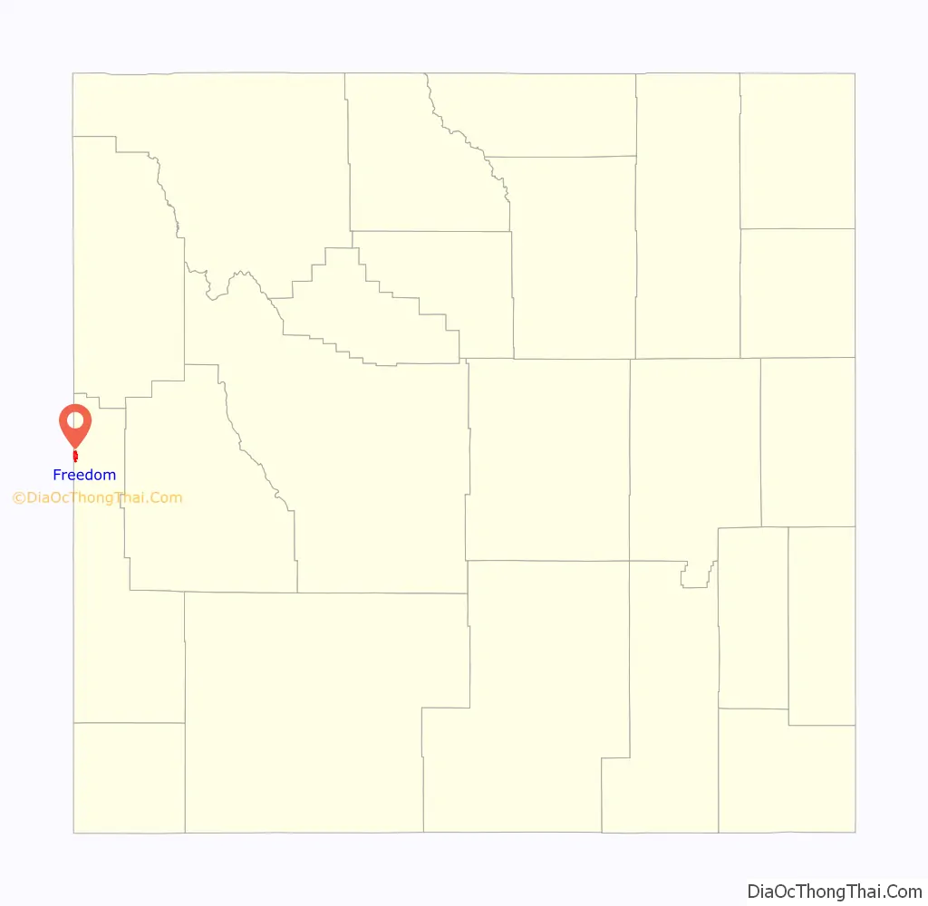
Freedom location map. Where is Freedom CDP?
History
Freedom was established in 1879, and today it remains the oldest settlement in the Star Valley. Similar to Colorado City, Arizona and Hildale, Utah, the community was settled as a border town by Mormon polygamists in order to escape arrest for polygamy: they could be free from Idaho police simply by walking into Wyoming. The community was named for the freedom it gave these early settlers.
At one time, Freedom was the largest settlement in Star Valley. There was a general store, a gas station, billiard hall, and other establishments. Today some of the old buildings still stand, but very few are still in use. The Post Office and Baseball Park are still used, along with the LDS Church, which was built in 1889. The headquarters of Freedom Arms, a gun factory and maker of a .454 Casull handgun, is located in the Wyoming portion of the community.
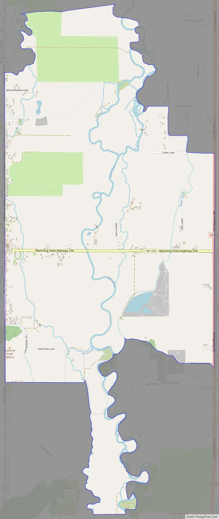
Freedom Road Map
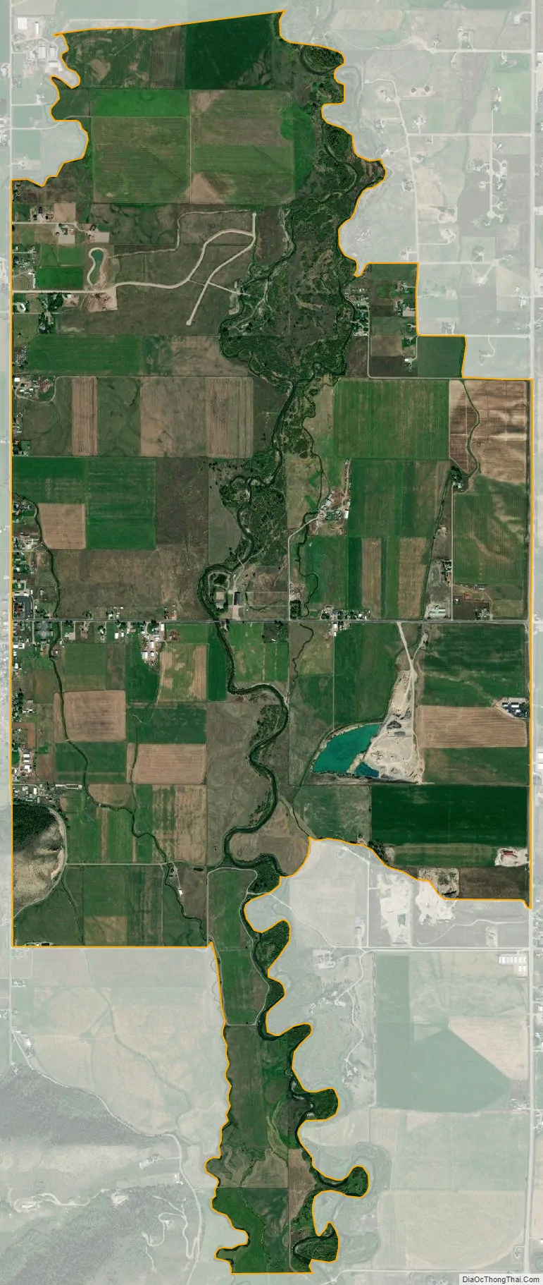
Freedom city Satellite Map
Geography
Located on U.S. Route 89 and Idaho State Highway 34, Freedom sits on the Idaho/Wyoming state line. It lies northeast of the city of Soda Springs, the county seat of Caribou County, and north of Kemmerer, the county seat of Lincoln County; the nearest significant community is Afton, Wyoming, approximately 20 mi (32 km) to the south, along U.S. Route 89. Its elevation is 5,777 feet (1,761 m), and it is located at 42°58′N 111°2′W / 42.967°N 111.033°W / 42.967; -111.033 (42.983, -111.0438). Although Freedom is unincorporated, its Wyoming side has a post office, with the ZIP code of 83120.
According to the United States Census Bureau, the CDP has a total area of 4.0 sq mi (10 km), all land.
See also
Map of Wyoming State and its subdivision: Map of other states:- Alabama
- Alaska
- Arizona
- Arkansas
- California
- Colorado
- Connecticut
- Delaware
- District of Columbia
- Florida
- Georgia
- Hawaii
- Idaho
- Illinois
- Indiana
- Iowa
- Kansas
- Kentucky
- Louisiana
- Maine
- Maryland
- Massachusetts
- Michigan
- Minnesota
- Mississippi
- Missouri
- Montana
- Nebraska
- Nevada
- New Hampshire
- New Jersey
- New Mexico
- New York
- North Carolina
- North Dakota
- Ohio
- Oklahoma
- Oregon
- Pennsylvania
- Rhode Island
- South Carolina
- South Dakota
- Tennessee
- Texas
- Utah
- Vermont
- Virginia
- Washington
- West Virginia
- Wisconsin
- Wyoming