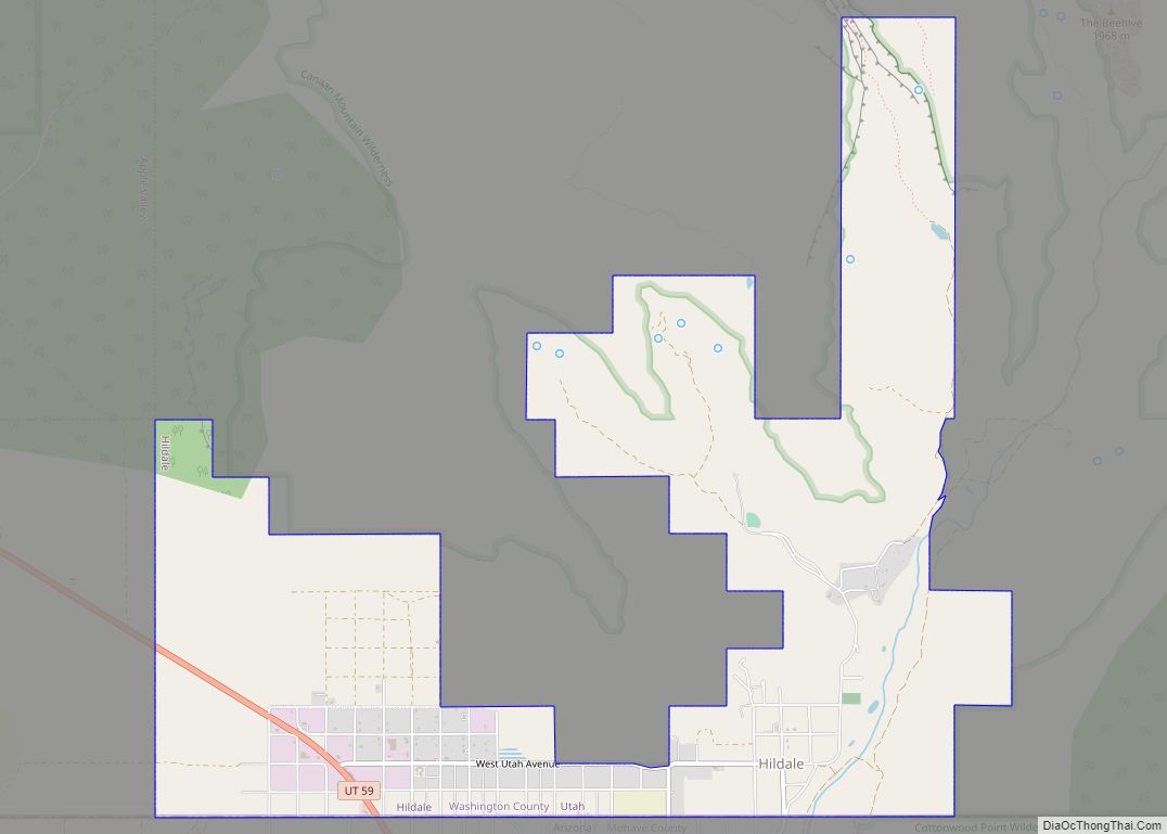
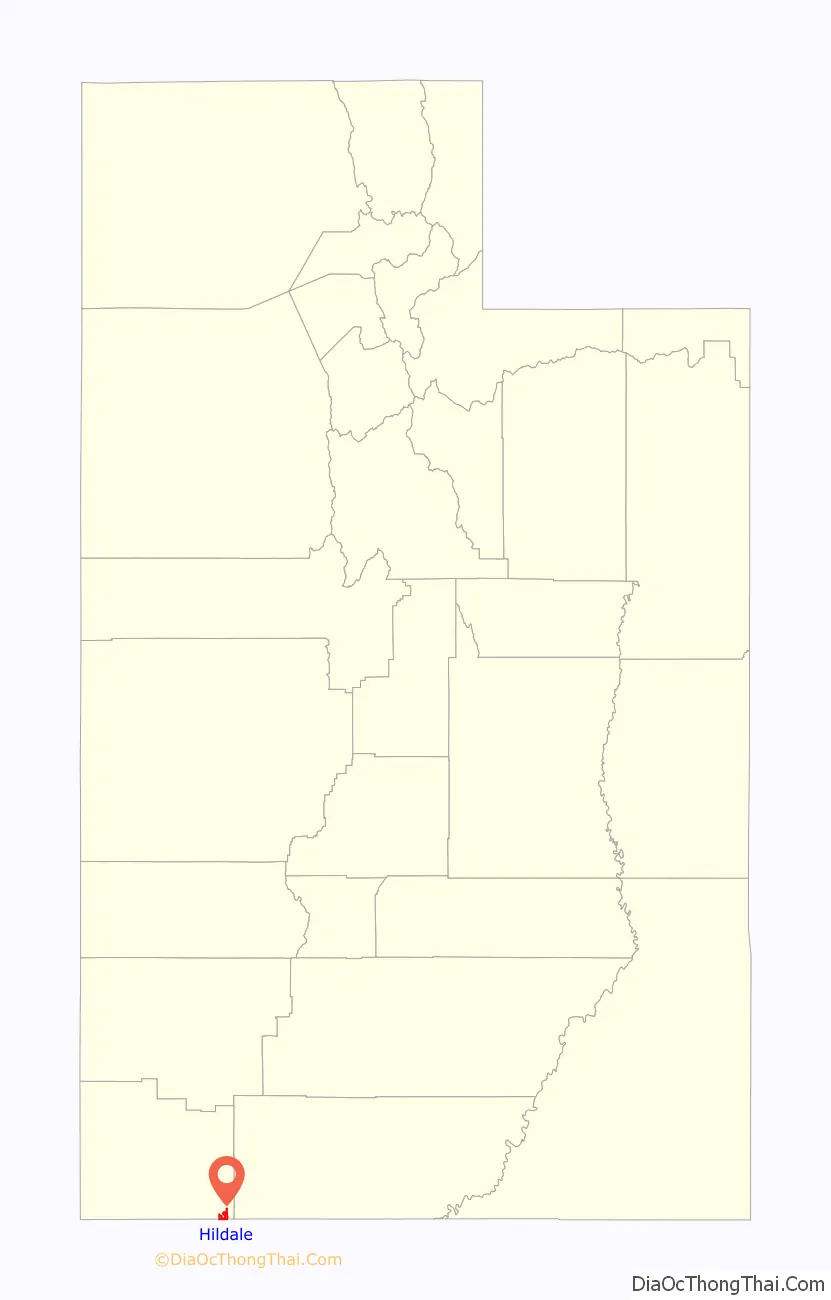
Hildale is a city in Washington County, Utah, United States. The population was 1,127 at the 2020 census.
Hildale is located on the border of Utah and Arizona.
| Name: | Hildale city |
|---|---|
| LSAD Code: | 25 |
| LSAD Description: | city (suffix) |
| State: | Utah |
| County: | Washington County |
| Incorporated: | 1962 |
| Elevation: | 5,043 ft (1,537 m) |
| Total Area: | 5.60 sq mi (14.51 km²) |
| Land Area: | 5.60 sq mi (14.51 km²) |
| Water Area: | 0.00 sq mi (0.00 km²) |
| Total Population: | 1,127 |
| Population Density: | 517.14/sq mi (199.65/km²) |
| ZIP code: | 84784 |
| Area code: | 435 |
| FIPS code: | 4935300 |
| GNISfeature ID: | 1450387 |
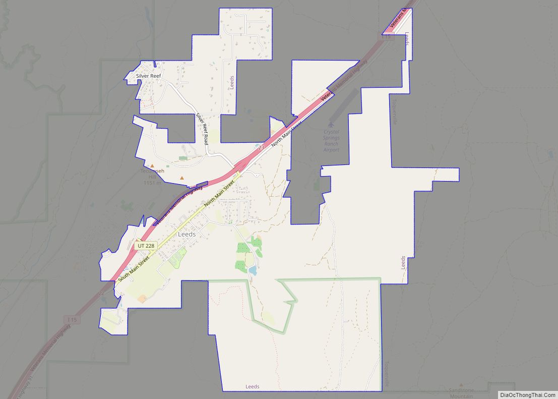
Online Interactive Map
Click on ![]() to view map in "full screen" mode.
to view map in "full screen" mode.
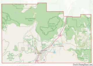
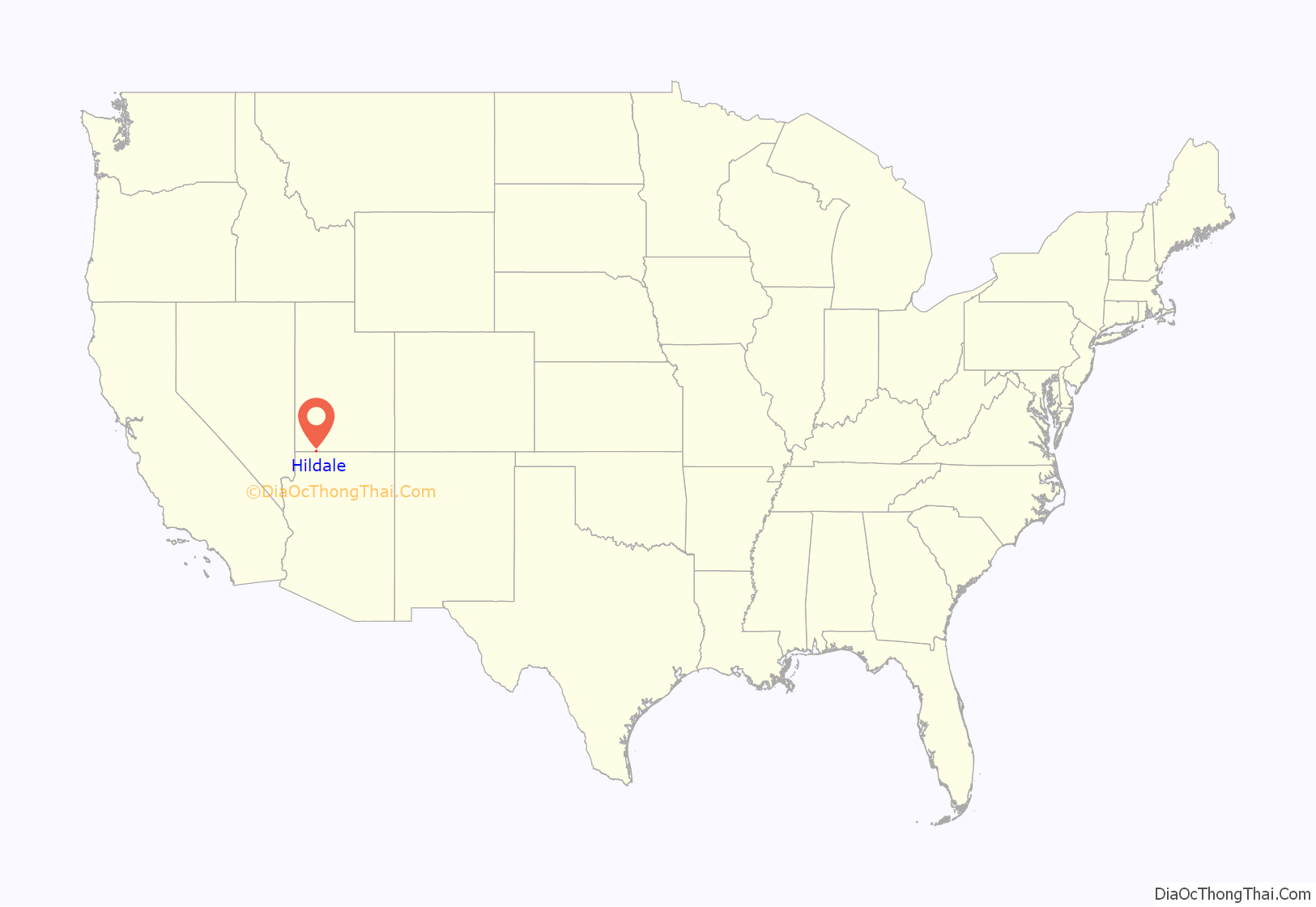
Hildale location map. Where is Hildale city?
History
Hildale, formerly known as Short Creek Community, was founded in 1913 by members of the Council of Friends, a breakaway group from the Salt Lake City-based the Church of Jesus Christ of Latter-day Saints (LDS Church).
During a flash flood on 14 September 2015, at least 12 members of two related families from the community were killed while stopped in a low water crossing at the mouth of Maxwell Canyon in Hildale. A thirteenth person was still missing as of 16 March 2021. The flooding resulted from the moisture from Hurricane Linda.
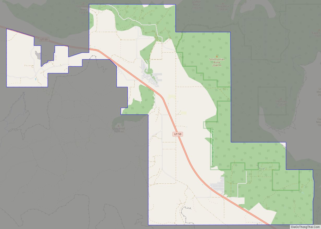
Hildale Road Map

Hildale city Satellite Map

Geography
According to the United States Census Bureau, the city has a total area of 2.9 square miles (7.5 km), all land.
Climate
According to the Köppen Climate Classification system, Hildale has a semi-arid climate, abbreviated “BSk” on climate maps.
See also
Map of Utah State and its subdivision: Map of other states:- Alabama
- Alaska
- Arizona
- Arkansas
- California
- Colorado
- Connecticut
- Delaware
- District of Columbia
- Florida
- Georgia
- Hawaii
- Idaho
- Illinois
- Indiana
- Iowa
- Kansas
- Kentucky
- Louisiana
- Maine
- Maryland
- Massachusetts
- Michigan
- Minnesota
- Mississippi
- Missouri
- Montana
- Nebraska
- Nevada
- New Hampshire
- New Jersey
- New Mexico
- New York
- North Carolina
- North Dakota
- Ohio
- Oklahoma
- Oregon
- Pennsylvania
- Rhode Island
- South Carolina
- South Dakota
- Tennessee
- Texas
- Utah
- Vermont
- Virginia
- Washington
- West Virginia
- Wisconsin
- Wyoming