Jeffrey City is a former uranium mining boomtown located in Fremont County, in the central part of the U.S. state of Wyoming. The town is known in Wyoming and the American West as symbol of a boomtown that went “bust” very quickly, as the mine was shut down in 1982 and over 95% of the inhabitants left the town within three years. The population was 58 at the 2010 census, far lower than its onetime population of several thousand people. For statistical purposes, the United States Census Bureau has defined Jeffrey City as a census-designated place (CDP).
| Name: | Jeffrey City CDP |
|---|---|
| LSAD Code: | 57 |
| LSAD Description: | CDP (suffix) |
| State: | Wyoming |
| County: | Fremont County |
| Elevation: | 6,335 ft (1,931 m) |
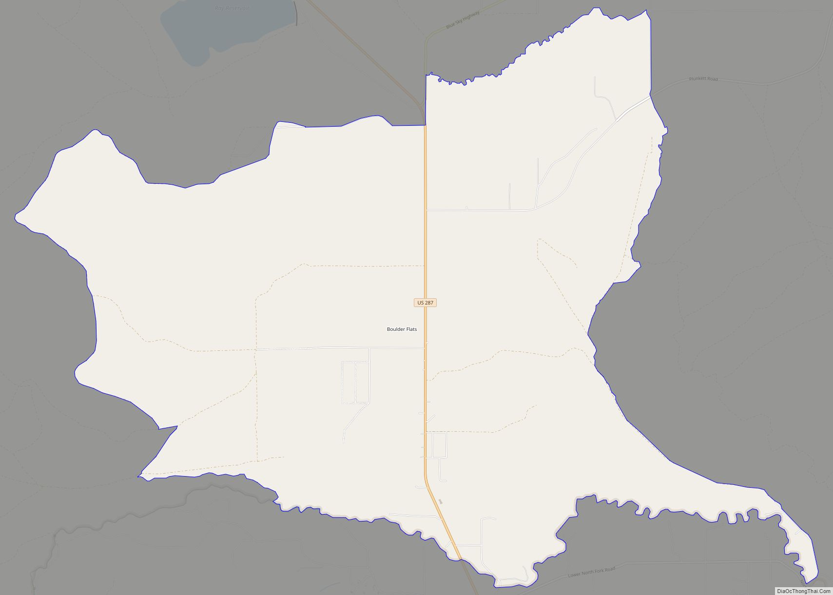
| Total Area: | 28.5 sq mi (73.8 km²) |
| Land Area: | 28.3 sq mi (73.4 km²) |
| Water Area: | 0.2 sq mi (0.4 km²) |
| Total Population: | 58 |
| Population Density: | 2.0/sq mi (0.79/km²) |
| ZIP code: | 82310 |
| Area code: | 307 |
| FIPS code: | 5640555 |
| GNISfeature ID: | 1590071 |
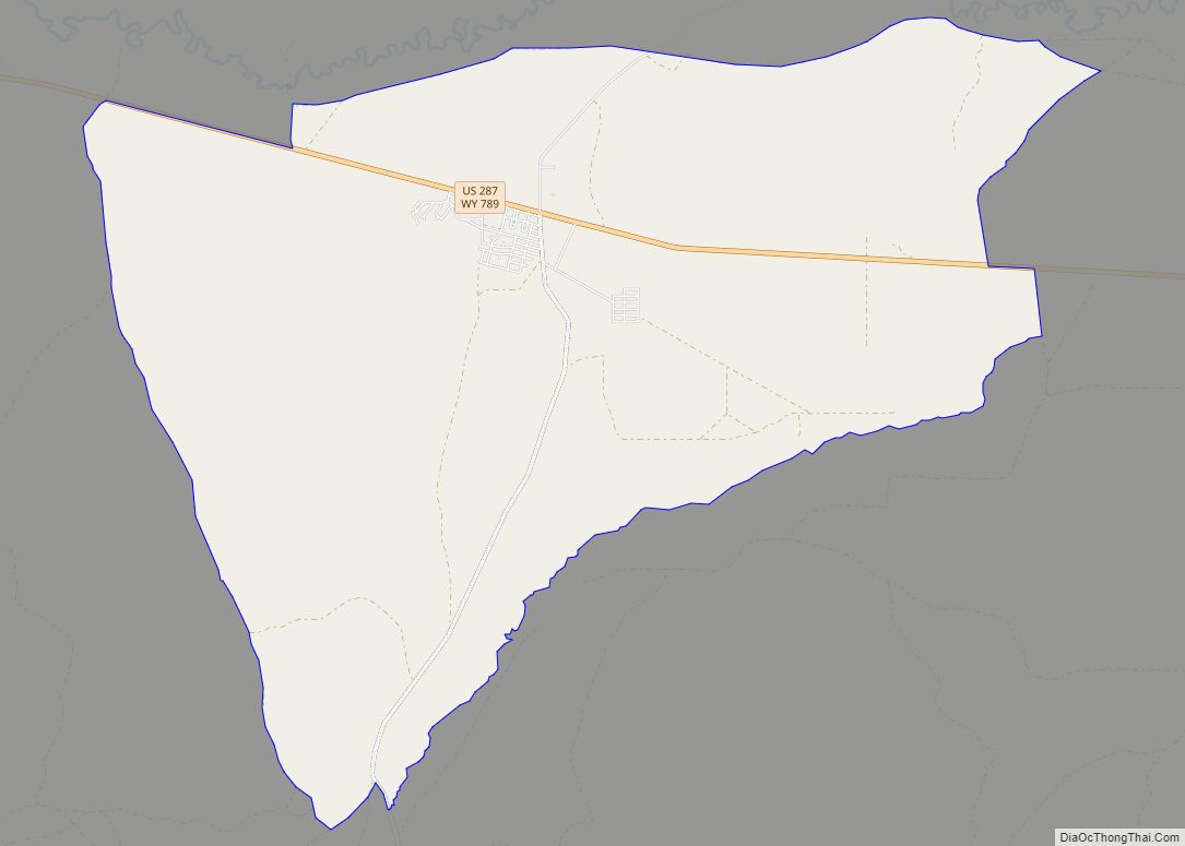
Online Interactive Map
Click on ![]() to view map in "full screen" mode.
to view map in "full screen" mode.
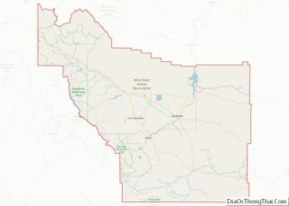
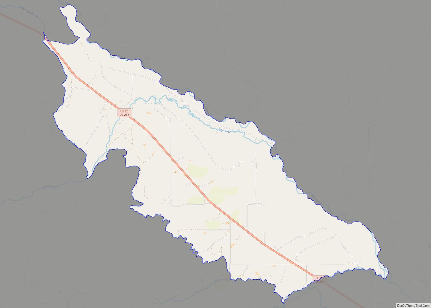
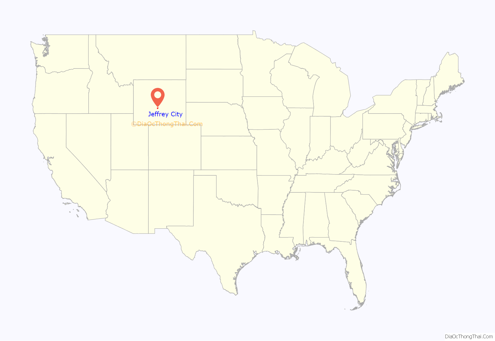
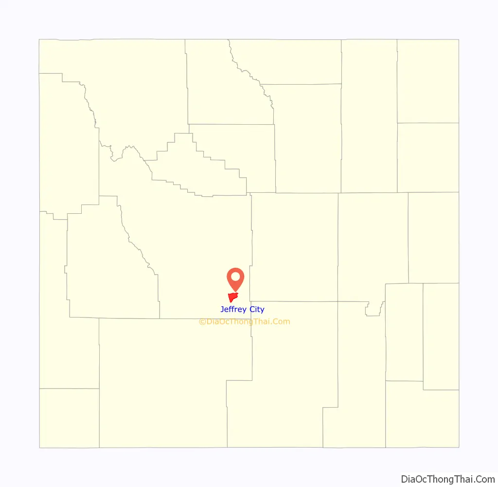
Jeffrey City location map. Where is Jeffrey City CDP?
History
Jeffrey City began in 1931 as “Home on the Range”, the 640-acre (2.6 km) homestead of a Nebraska couple named the Petersons, who relocated because Mr. Peterson was sick after having been gassed in World War I. Mrs. Beulah Peterson (later Walker) opened two gasoline pumps when the highway came through, and began cooking for those who stopped. The post office at Split Rock, 14 miles (23 km) away, closed in 1943, and Mrs. Peterson took up the task of handling the ranchers’ mail. She canceled the letters with “Home on the Range”. She retired her post office cancellation stamp in 1957 when Home on the Range became Jeffrey City. Her family members are currently restoring the old Home on the Range post office site.
Home on the Range became Jeffrey City when those who came to mine uranium sought to honor Dr. C. W. Jeffrey, a wealthy doctor from Rawlins, Wyoming, who initially financed the costs for prospector and businessman Bob Adams to start the Western Nuclear Corporation mining firm and open a uranium mine near the area in 1957, during the Cold War and the height of uranium demand.
Thousands of people looking for high-paying mining jobs streamed into Jeffrey City, and Western Nuclear designed and financed a company town for the workers and their families. At the height of the boom town optimism, a separate high school building was added and an Olympic-sized swimming pool and third gymnasium was built. In the late 1970s and early 1980s, the uranium market collapsed and the mine was forced to close. As was typical of many boom towns, Jeffrey City was singularly dependent on the local mine, and after it closed there was no reason for residents to remain. What was once a thriving local community with shops, schools, library, sheriff, youth hostel, churches, medical clinics and more, became a ghost town as 95% of the residents left the town by 1986. Today, few institutions remain: the First (Southern) Baptist Church (which is still doing well thanks to the area ranchers who attend), a restaurant and bar called the Split Rock Café that caters to the few local residents and those passing through on the highway, and Monk King Bird Pottery, a pottery studio. The Green Mountain Motel provides perhaps the only lodging along the 122-mile (196 km) route between Rawlins and Riverton.
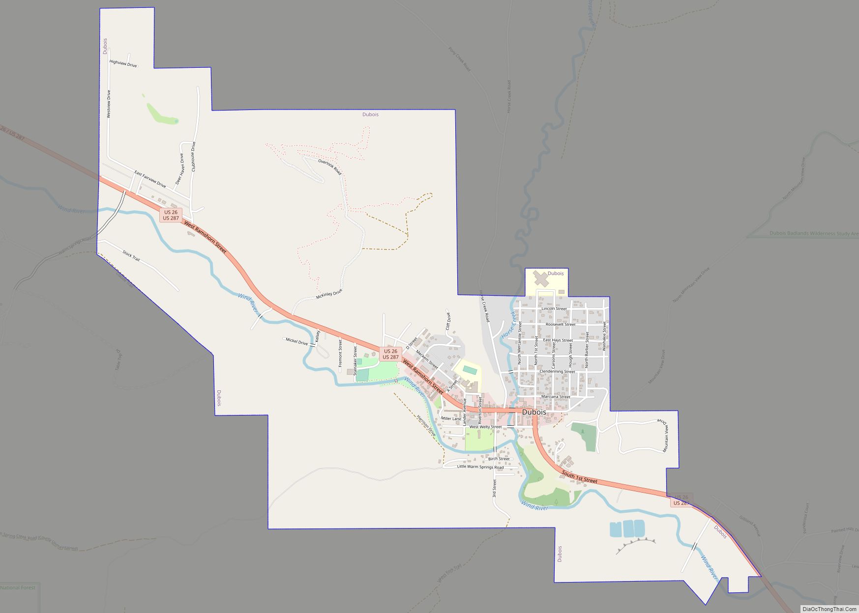
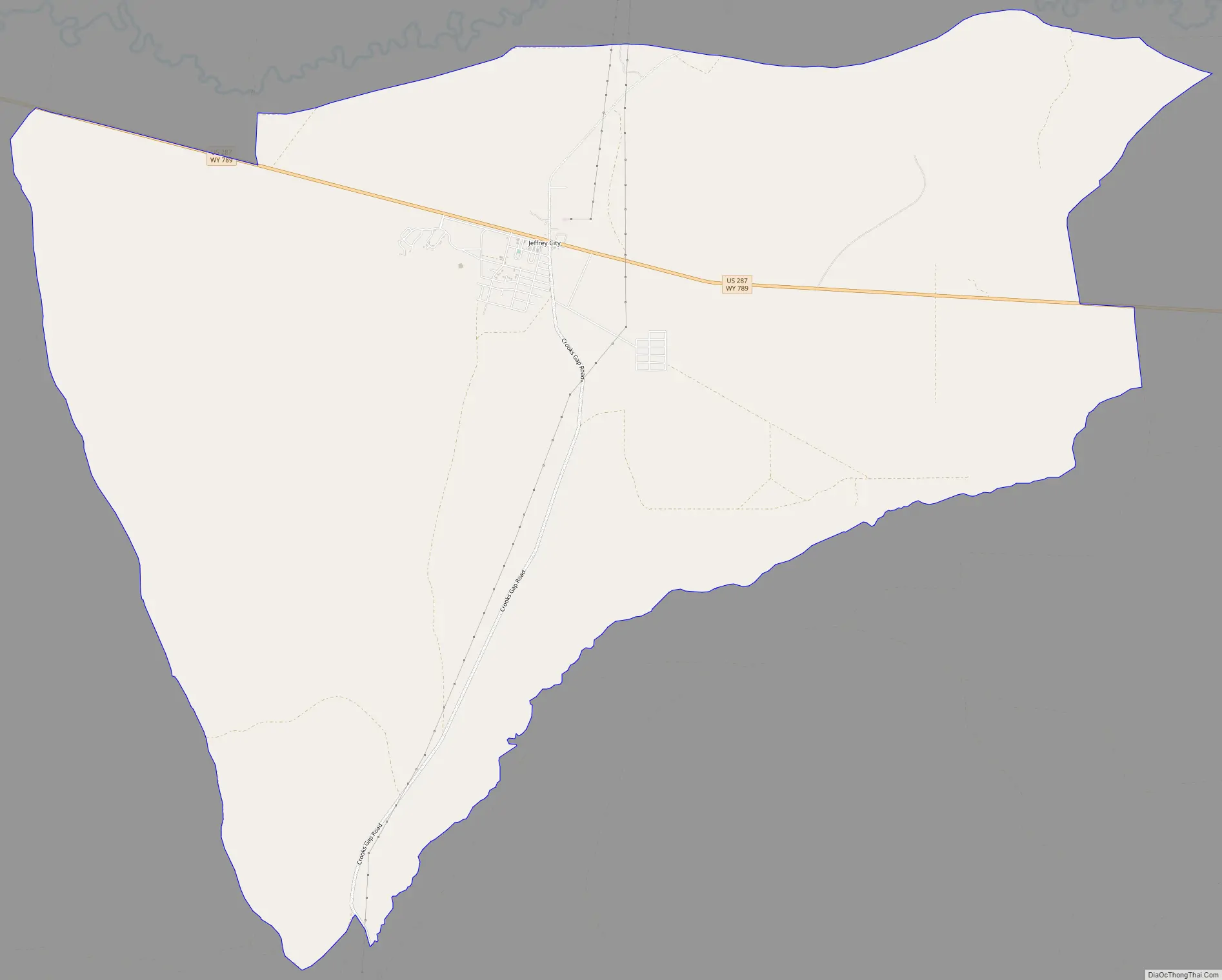
Jeffrey City Road Map
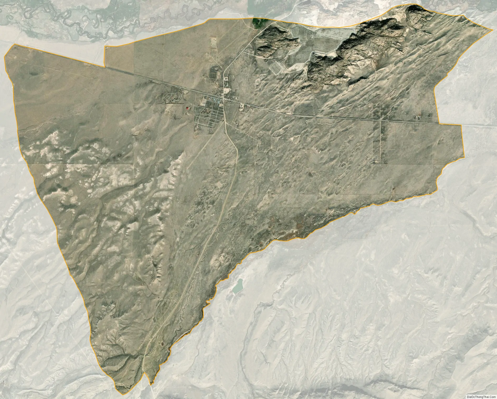
Jeffrey City city Satellite Map
Geography
Jeffrey City is located in southeastern Fremont County along U.S. Route 287, 67 miles (108 km) northwest of Rawlins and Interstate 80, and 58 miles (93 km) southeast of Lander, the Fremont County seat. According to the United States Census Bureau, the Jeffrey City CDP has a total area of 28.5 square miles (73.8 km), of which 28.3 square miles (73.4 km) is land and 0.2 square miles (0.4 km), or 0.56%, is water. The community is in the valley of the Sweetwater River, an east-flowing tributary of the North Platte River.
See also
Map of Wyoming State and its subdivision: Map of other states:- Alabama
- Alaska
- Arizona
- Arkansas
- California
- Colorado
- Connecticut
- Delaware
- District of Columbia
- Florida
- Georgia
- Hawaii
- Idaho
- Illinois
- Indiana
- Iowa
- Kansas
- Kentucky
- Louisiana
- Maine
- Maryland
- Massachusetts
- Michigan
- Minnesota
- Mississippi
- Missouri
- Montana
- Nebraska
- Nevada
- New Hampshire
- New Jersey
- New Mexico
- New York
- North Carolina
- North Dakota
- Ohio
- Oklahoma
- Oregon
- Pennsylvania
- Rhode Island
- South Carolina
- South Dakota
- Tennessee
- Texas
- Utah
- Vermont
- Virginia
- Washington
- West Virginia
- Wisconsin
- Wyoming