Deschutes County (/dəˈʃuːts/ də-SHOOTS) is one of the 36 counties in the U.S. state of Oregon. As of the 2020 census, the population was 198,253. The county seat is Bend. The county was created in 1916 out of part of Crook County and was named for the Deschutes River, which itself was named by French-Canadian trappers of the early 19th century. It is the political and economic hub of Central Oregon. Deschutes comprises the Bend, Oregon Metropolitan Statistical Area. Deschutes is Oregon’s fastest-growing and most recently-formed county.
| Name: | Deschutes County |
|---|---|
| FIPS code: | 41-017 |
| State: | Oregon |
| Founded: | December 13, 1916 |
| Named for: | Deschutes River |
| Seat: | Bend |
| Largest city: | Bend |
| Total Area: | 3,055 sq mi (7,910 km²) |
| Land Area: | 3,018 sq mi (7,820 km²) |
| Total Population: | 198,253 |
| Population Density: | 65/sq mi (25/km²) |
| Time zone: | UTC−8 (Pacific) |
| Summer Time Zone (DST): | UTC−7 (PDT) |
| Website: | www.deschutes.org |
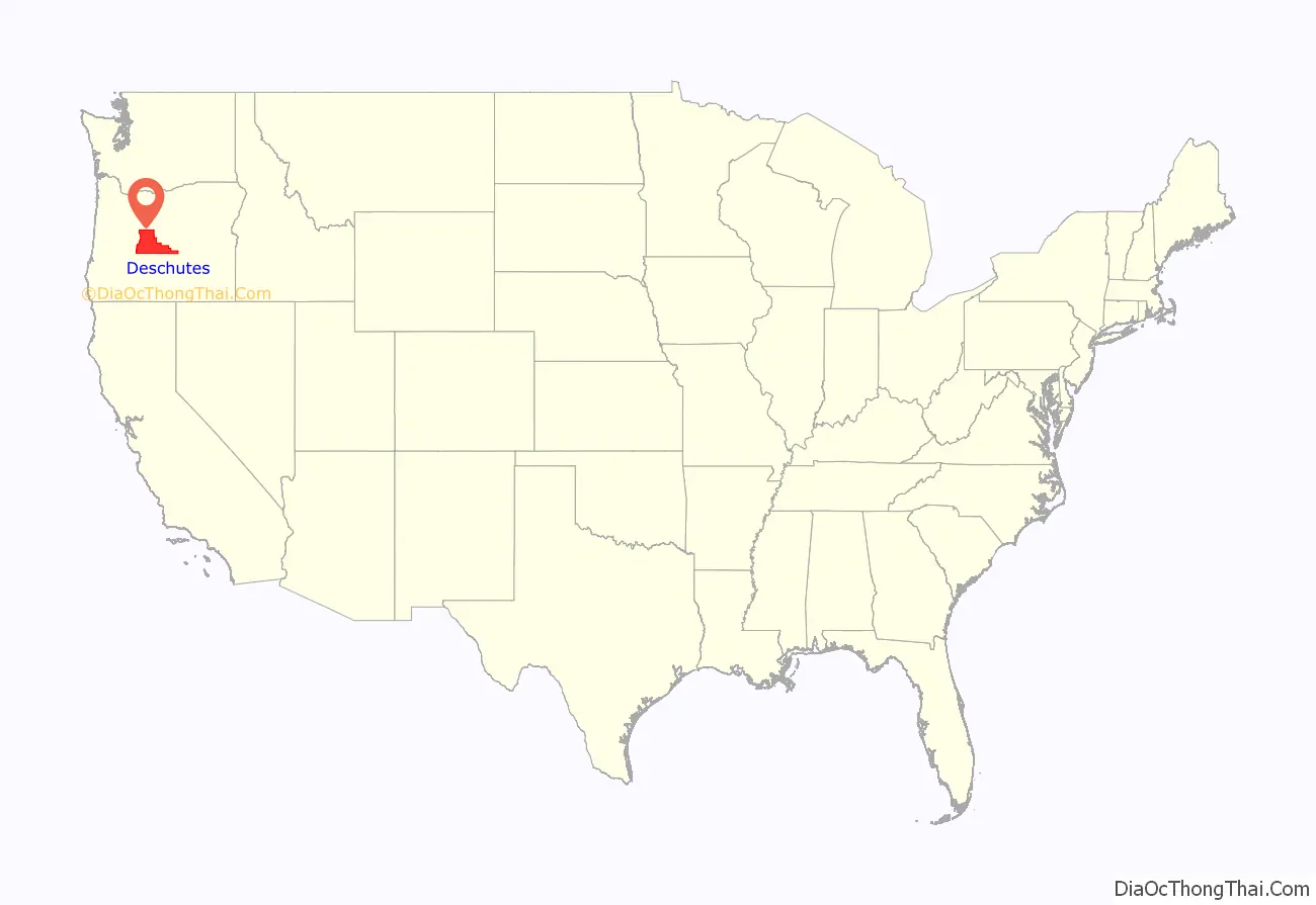
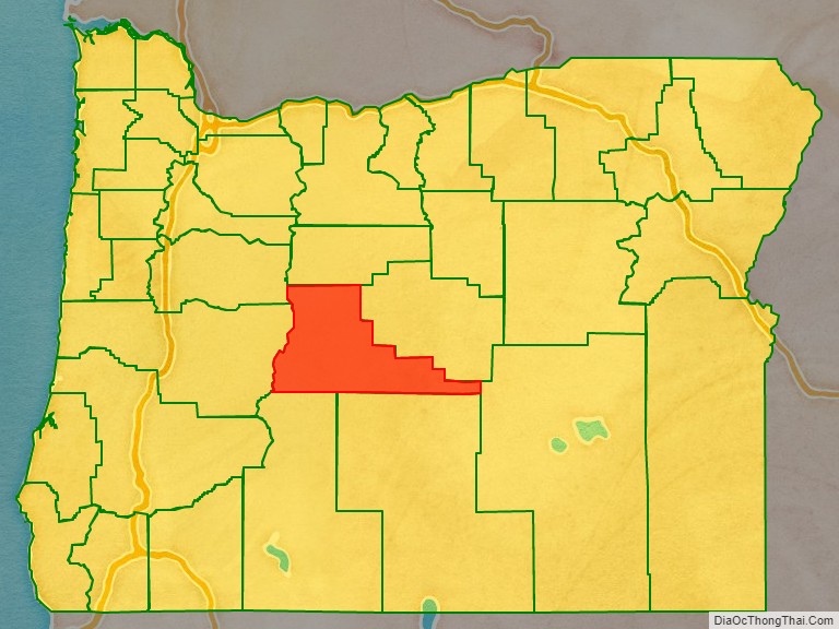
Deschutes County location map. Where is Deschutes County?
History
French-Canadian fur trappers of the Hudson’s Bay Company gave the name Rivière des Chutes (River of the Falls) to the Deschutes River, from which the county derived its name.
On December 13, 1916, Deschutes County was created from the southern part of Crook County. Bend has been the county seat since the county’s formation. It was the last county in Oregon to be established.
The Shevlin-Hixon Lumber Company also operated within the Bend area processing Ponderosa pine trees.
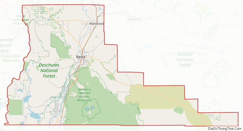
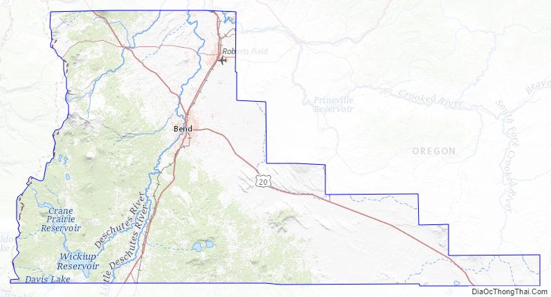
Deschutes County Road Map
Geography
According to the United States Census Bureau, the county has a total area of 3,055 square miles (7,910 km), of which 3,018 square miles (7,820 km) is land and 37 square miles (96 km) (1.2%) is water.
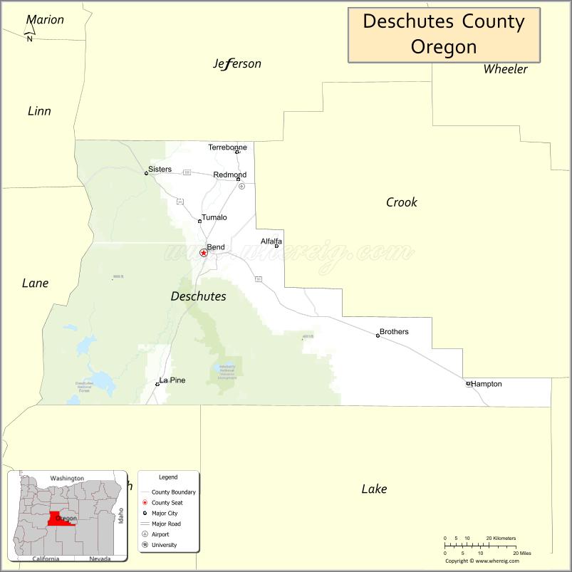
Adjacent counties
- Linn County (northwest)
- Jefferson County (north)
- Crook County (east)
- Harney County (southeast)
- Lake County (south)
- Klamath County (south)
- Lane County (west)
National protected areas
- Deschutes National Forest (part)
- Newberry National Volcanic Monument
Deschutes County Topographic Map
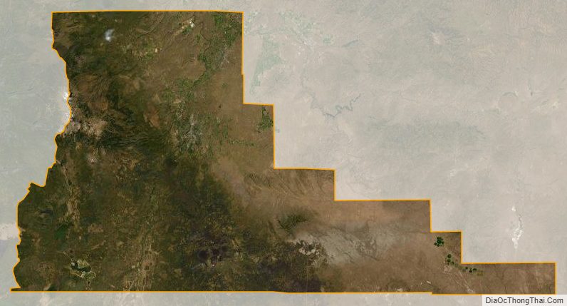
Deschutes County Satellite Map
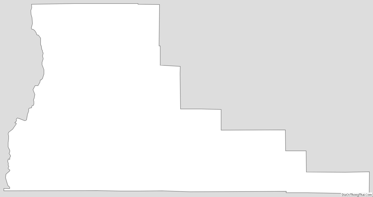
Deschutes County Outline Map
See also
Map of Oregon State and its subdivision: Map of other states:- Alabama
- Alaska
- Arizona
- Arkansas
- California
- Colorado
- Connecticut
- Delaware
- District of Columbia
- Florida
- Georgia
- Hawaii
- Idaho
- Illinois
- Indiana
- Iowa
- Kansas
- Kentucky
- Louisiana
- Maine
- Maryland
- Massachusetts
- Michigan
- Minnesota
- Mississippi
- Missouri
- Montana
- Nebraska
- Nevada
- New Hampshire
- New Jersey
- New Mexico
- New York
- North Carolina
- North Dakota
- Ohio
- Oklahoma
- Oregon
- Pennsylvania
- Rhode Island
- South Carolina
- South Dakota
- Tennessee
- Texas
- Utah
- Vermont
- Virginia
- Washington
- West Virginia
- Wisconsin
- Wyoming