Jefferson County is one of the 36 counties in the U.S. state of Oregon. At the 2020 census, the population was 24,502. The county seat is Madras. The county is named after Mount Jefferson.
| Name: | Jefferson County |
|---|---|
| FIPS code: | 41-031 |
| State: | Oregon |
| Founded: | December 12, 1914 |
| Named for: | Mount Jefferson |
| Seat: | Madras |
| Largest city: | Madras |
| Total Area: | 1,791 sq mi (4,640 km²) |
| Land Area: | 1,781 sq mi (4,610 km²) |
| Total Population: | 24,502 |
| Population Density: | 12/sq mi (5/km²) |
| Time zone: | UTC−8 (Pacific) |
| Summer Time Zone (DST): | UTC−7 (PDT) |
| Website: | www.co.jefferson.or.us |
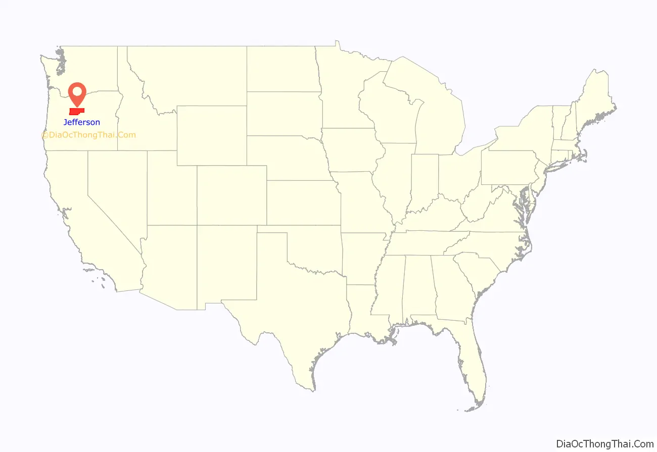
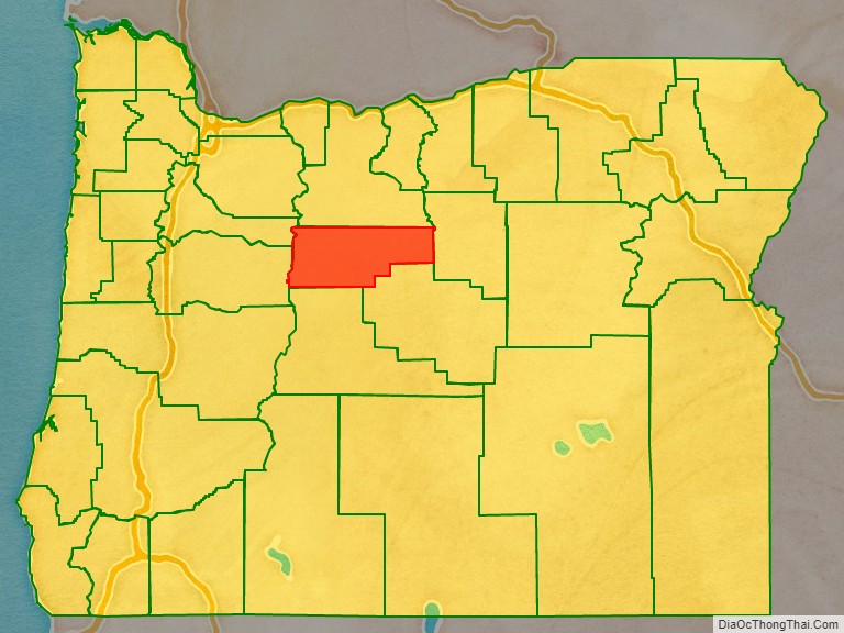
Jefferson County location map. Where is Jefferson County?
History
Jefferson County was created on December 12, 1914, from a portion of Crook County. The county owes much of its agricultural prosperity to the railroad, which links Madras with the Columbia River, and was completed in 1911, and to the development of irrigation projects in the late 1930s. The railroad was completed despite constant feuds and battles between two lines working on opposite sides of the Deschutes River.
Madras was incorporated in 1911, and has been the permanent county seat since a general election in 1916. The first (temporary) county seat was Culver, which was selected by a three-man commission appointed by the governor. Due to repeated tie votes over several days (with one vote each cast for Culver, Metolius and Madras). The deadlock was eventually broken by allowing the Metolius Commissioner to post the tie-breaker, by voting for Culver.
Rapid development in adjacent Deschutes County during the 1990s had farmers in Jefferson County concerned that they might be priced out of their own farmlands, which could be replaced by destination resorts, golf courses and other amenities for recent arrivals.
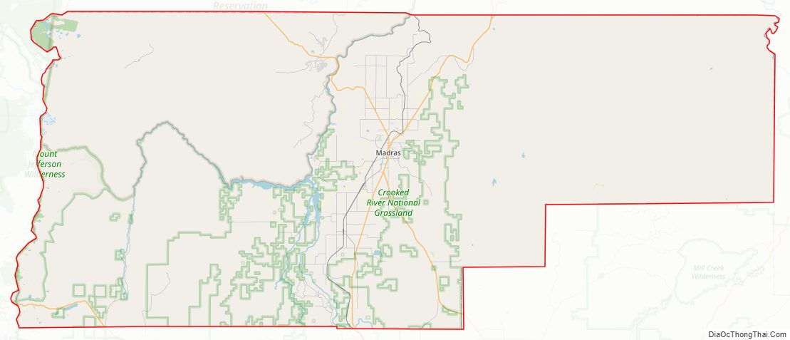
Jefferson County Road Map
Geography
According to the United States Census Bureau, the county has a total area of 1,791 square miles (4,640 km), of which 1,781 square miles (4,610 km) is land and 10 square miles (26 km) (0.6%) is water.
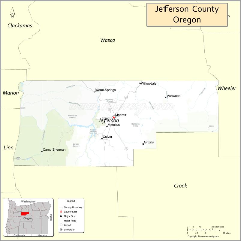
Adjacent counties
- Marion County (northwest)
- Wasco County (north)
- Wheeler County (east)
- Crook County (south)
- Deschutes County (south)
- Linn County (west)
National protected areas
- Crooked River National Grassland
- Deschutes National Forest (part)
- Mount Hood National Forest (part)
- Willamette National Forest (part)
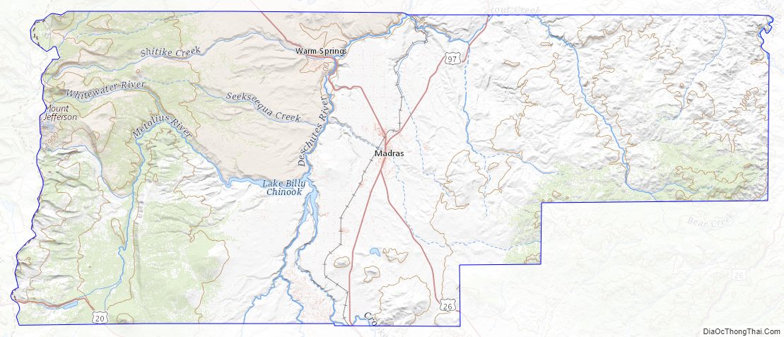
Jefferson County Topographic Map
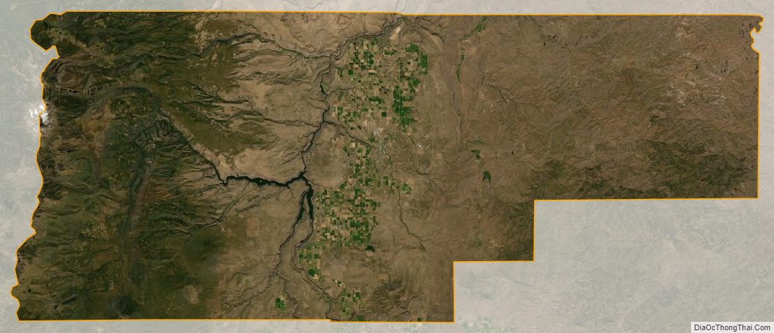
Jefferson County Satellite Map
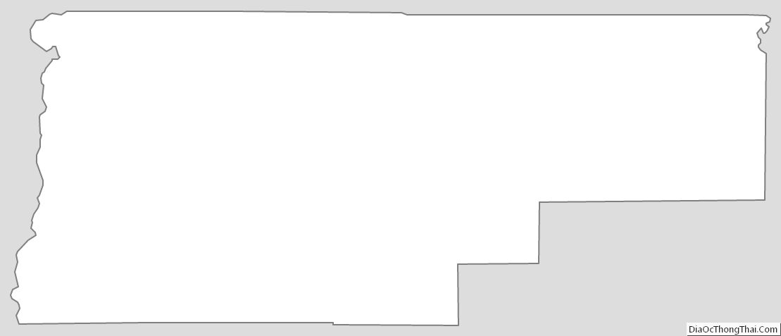
Jefferson County Outline Map
See also
Map of Oregon State and its subdivision: Map of other states:- Alabama
- Alaska
- Arizona
- Arkansas
- California
- Colorado
- Connecticut
- Delaware
- District of Columbia
- Florida
- Georgia
- Hawaii
- Idaho
- Illinois
- Indiana
- Iowa
- Kansas
- Kentucky
- Louisiana
- Maine
- Maryland
- Massachusetts
- Michigan
- Minnesota
- Mississippi
- Missouri
- Montana
- Nebraska
- Nevada
- New Hampshire
- New Jersey
- New Mexico
- New York
- North Carolina
- North Dakota
- Ohio
- Oklahoma
- Oregon
- Pennsylvania
- Rhode Island
- South Carolina
- South Dakota
- Tennessee
- Texas
- Utah
- Vermont
- Virginia
- Washington
- West Virginia
- Wisconsin
- Wyoming