Elkhart (/ˈɛlkɑːrt/ EL-kart) is a city in Elkhart County, Indiana, United States. The city is located 15 miles (24 km) east of South Bend, Indiana, 110 miles (180 km) east of Chicago, Illinois, and 150 miles (240 km) north of Indianapolis, Indiana. Elkhart has the larger population of the two principal cities of the Elkhart-Goshen Metropolitan Statistical Area, which in turn is part of the South Bend-Elkhart-Mishawaka Combined Statistical Area, in a region commonly known as Michiana. The population was 53,923 at the 2020 census. Despite the shared name and being the most populous city in the county, it is not the county seat of Elkhart County; that position is held by the city of Goshen, located about 10 miles (16 km) southeast of Elkhart.
| Name: | Elkhart city |
|---|---|
| LSAD Code: | 25 |
| LSAD Description: | city (suffix) |
| State: | Indiana |
| County: | Elkhart County |
| Elevation: | 748 ft (228 m) |
| Total Area: | 28.47 sq mi (73.74 km²) |
| Land Area: | 27.51 sq mi (71.25 km²) |
| Water Area: | 0.96 sq mi (2.50 km²) |
| Total Population: | 53,923 |
| Population Density: | 1,960.27/sq mi (756.86/km²) |
| ZIP code: | 46514, 46515, 46516, 46517 |
| Area code: | 574 |
| FIPS code: | 1820728 |
| GNISfeature ID: | 0434079 |
| Website: | http://www.elkhartindiana.org/ |
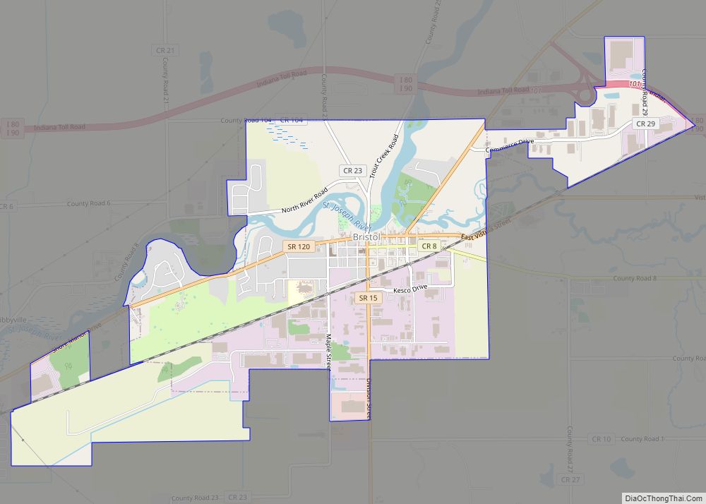
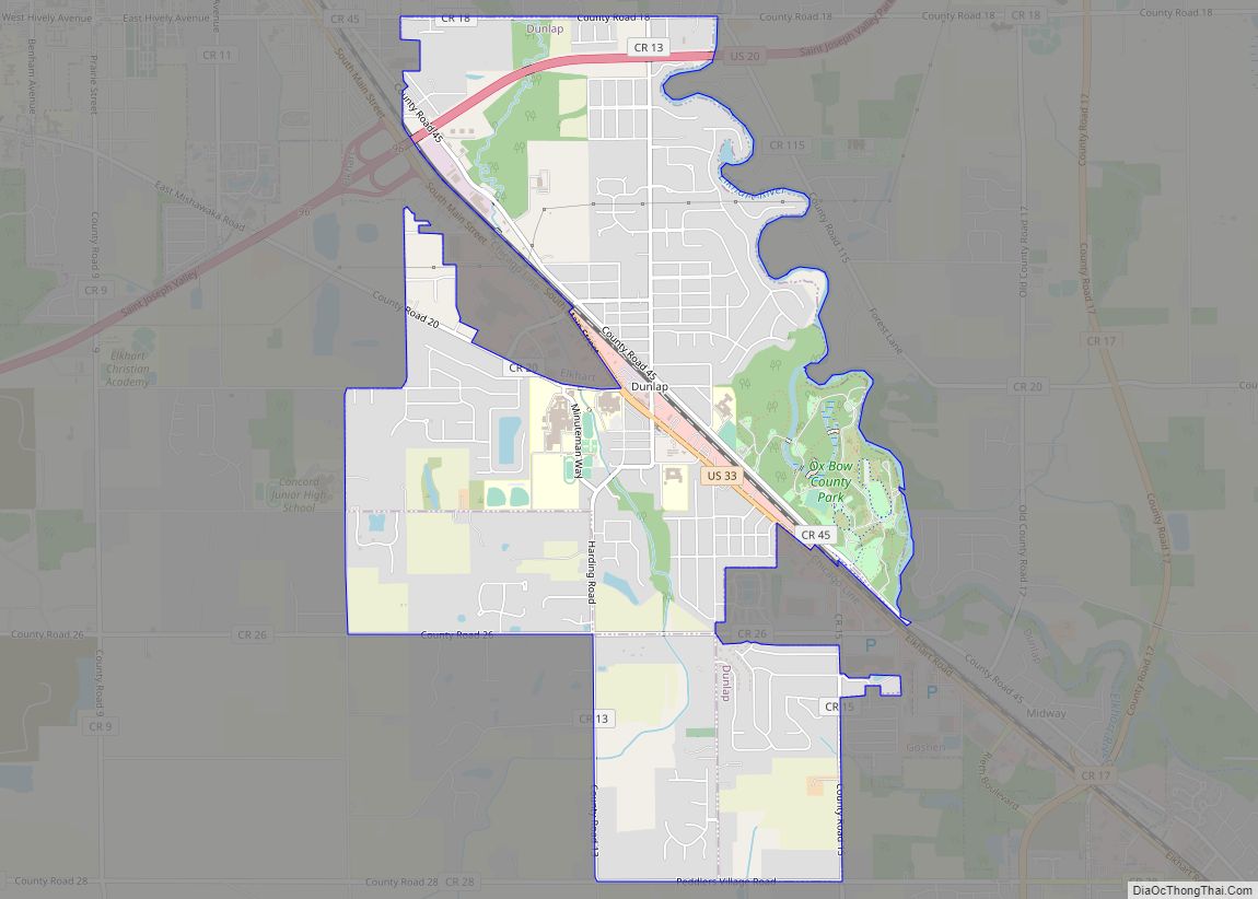
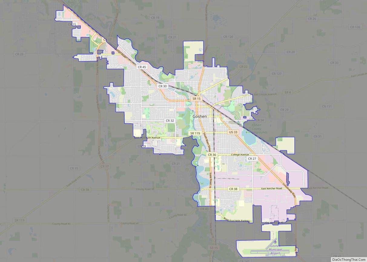
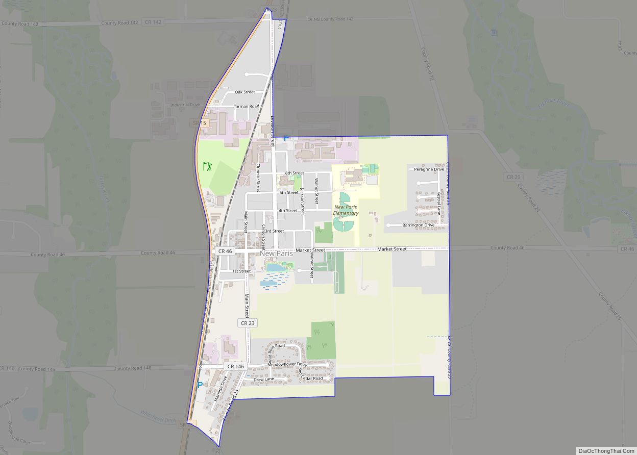
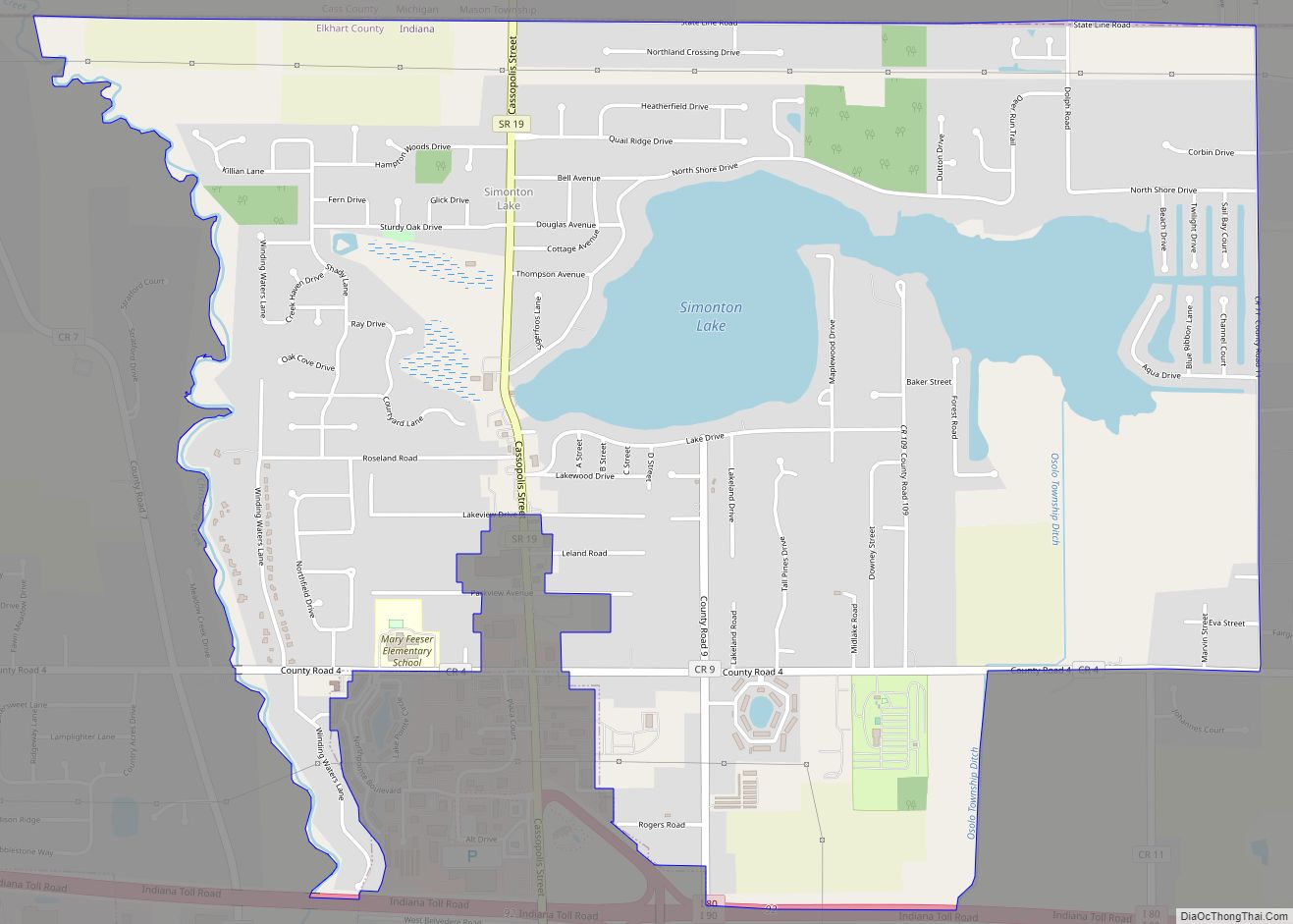
Online Interactive Map
Click on ![]() to view map in "full screen" mode.
to view map in "full screen" mode.
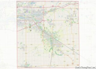
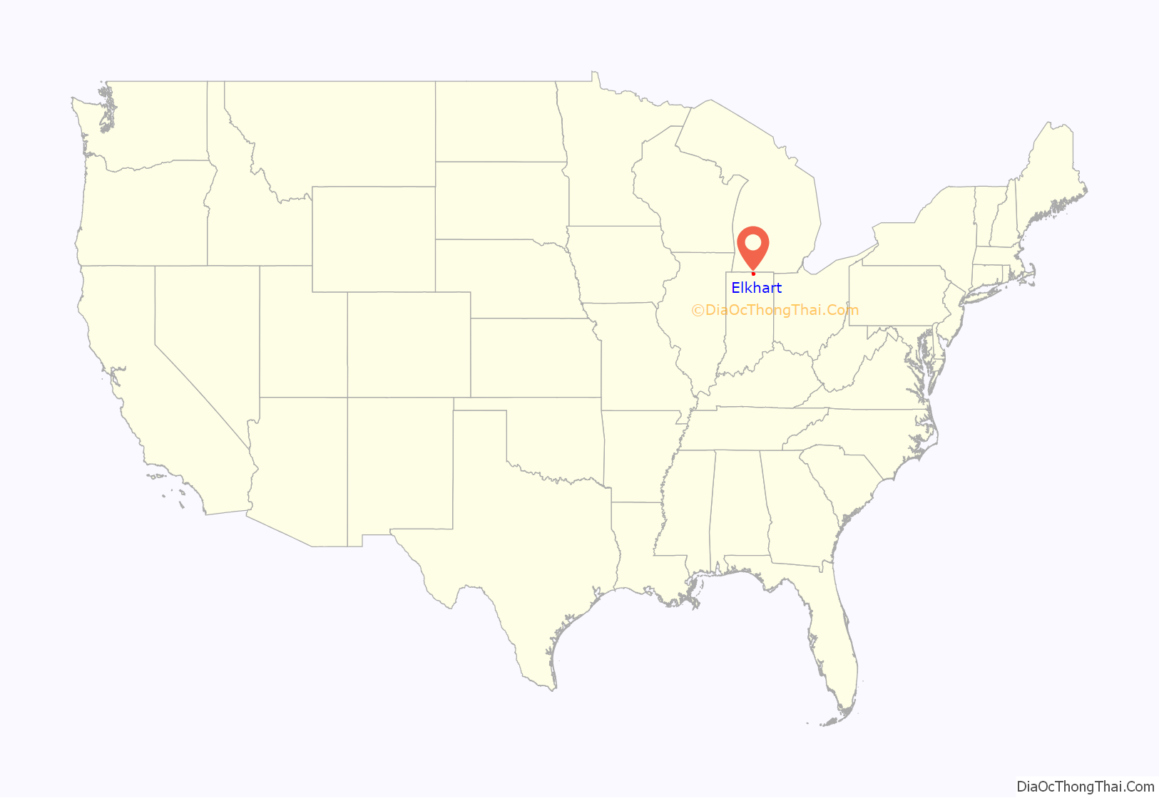
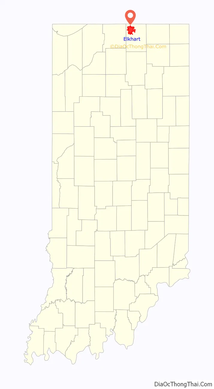
Elkhart location map. Where is Elkhart city?
History
When the Northwest Territory was organized in 1787, the area now known as Elkhart was mainly inhabited by the Ottawa, Chippewa, and Potawatomi Indian tribes. In 1829, the Village of Pulaski was established, consisting of a post office, mill, and a few houses on the north side of the St. Joseph River. Dr. Havilah Beardsley moved westward from Ohio, and on August 9, 1821, purchased one square mile of land from Pierre Moran (a half-French, half-Native American Potawatomi Chief) in order to establish a rival town named Elkhart. The town of Elkhart was first plotted with 48 lots on April 30, 1832. In 1839, the Pulaski Post Office was officially changed to Elkhart.
Elkhart County was founded exclusively by immigrants from New England. These were old-stock “Yankee” immigrants, that is to say, they were descended from the English Puritans who settled New England in the 1600s. The completion of the Erie Canal caused a surge in New England immigration to what was then the Northwest Territory. The end of the Black Hawk War led to an additional surge of immigration, once again coming almost exclusively from the six New England states as a result of overpopulation combined with land shortages in that region. Some of these later settlers were from upstate New York and had parents who had moved to that region from New England shortly after the Revolutionary War. New Englanders and New England transplants from upstate New York were the vast majority of Elkhart County’s inhabitants during the first several decades of its history. These settlers were primarily members of the Congregational Church though due to the Second Great Awakening many of them had converted to Methodism and some had become Baptists before coming to what is now Elkhart County. The Congregational Church subsequently has gone through many divisions, and some factions, including those in Elkhart County, are now known as the Church of Christ and the United Church of Christ. As a result of this heritage the vast majority of inhabitants in Elkhart County, much like antebellum New England were overwhelmingly in favor of the abolitionist movement during the decades leading up to the Civil War. Correspondingly, many inhabitants of Elkhart County fought in the Union Army during the Civil War. In the late 1880s and early 1890s Irish and German migrants began moving into Elkhart County, most of these later immigrants did not move directly from Ireland and Germany, but rather from other areas in the Midwest where they had already been living, particularly the state of Ohio.
By the late 19th and early 20th century, musical instrument factories, Miles Medical Company, and numerous mills set up shop and became the base of the economy. In 1934, the first recreational vehicle factory opened in Elkhart. Similar companies followed suit for the remainder of the decade, and the economy continued to grow until the rationing of materials in World War II. After the war, growth picked back up, and, by 1949, Elkhart was officially dubbed the “RV Capital of the World.”
Infrastructure
In 1851, the Michigan Southern & Northern Indiana Railroad Company built the first rail line through the city, and by 1852 the first passenger train passed through town. This, in turn, caused major population growth. Today, Norfolk Southern has the biggest railroad presence in town, although Elkhart has two other railroads: Shortline-Elkhart and Western (operated by Pioneer Railcorp) and Regional-Grand Elk (operated by Watco). Amtrak has two trains that stop in Elkhart, Lake Shore Limited and Capitol Limited, both of which stop at the Elkhart station. Canadian Pacific runs 6-8 trains through town on Norfolk Southern’s trackage.
In 1867, Elkhart Hydraulic Company built the first hydroelectric dam across the St. Joseph River and by 1870, it powered the city. Today, the dam still produces electric power and is operated by Indiana Michigan Power, a subsidiary of American Electric Power.
In 1889, the world’s second electric streetcar system began operating on the city’s streets. It has since been decommissioned.
The Beardsley Avenue Historic District, Albert R. Beardsley House, Dr. Havilah Beardsley House, Emmanuel C. Bickel House, Bridge Street Bridge, Charles Gerard Conn Mansion, Elkhart Downtown Commercial Historic District, Green Block, William and Helen Koerting House, Lerner Theatre, Mark L. and Harriet E. Monteith House, Morehous Residential Historic District, State Street-Division Street Historic District, and Young Women’s Christian Association are listed on the National Register of Historic Places.
Name
The name Elkhart is a euphemization of “Elks-heart”, which refers to the now extinct Eastern elk. The name has been attached to the Elkhart River and surrounding area since at least 1749, when it was recorded in French as Coeur de cerf (“elk’s heart”) as the name of a Miami village there. The place name in Miami-Illinois is mihšiiwiateehi (“elk’s heart”). Later in the 18th century the area was inhabited by the Potawatomi; in the Potawatomi language, the place is likewise known as mzewəodeʔig, “at the elk heart”.
The name may reflect a prehistoric association of the Elkhart area with the Kaskaskia people, whom the Miami called “elk hearts”. The Kaskaskia are not associated with the area in any historical records, however, having been pushed further south and west by the wars of the 17th century.
Other explanations have been suggested. According to an account by two Miami leaders (Jean Baptiste Richardville and Le Gros) recorded in 1824, the name arose from two women fighting over an elk’s heart that had been hung up to dry. Alternatively, some historians including Jacob Piatt Dunn have associated the name with the shape of an island in the Elkhart River that is stated to resemble an elk’s heart.
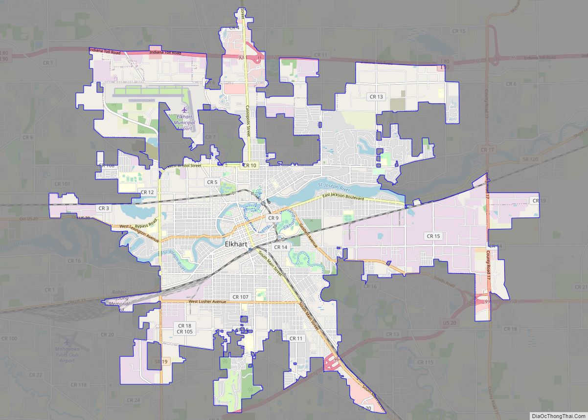
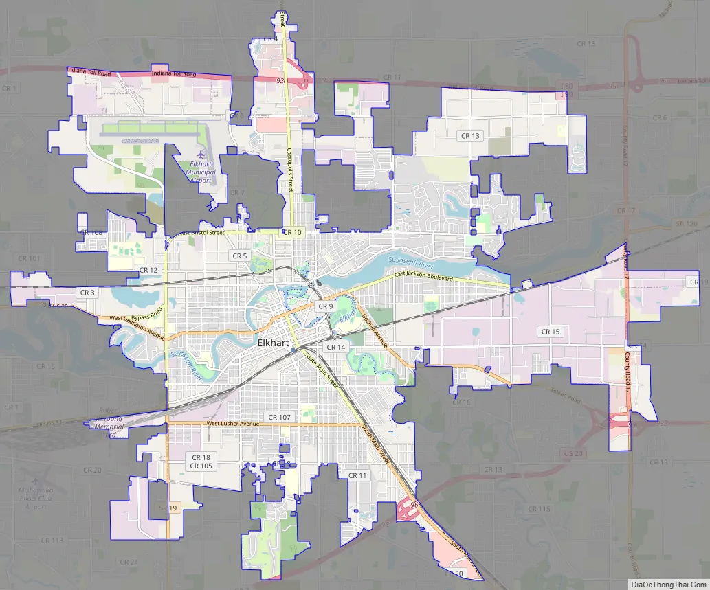
Elkhart Road Map
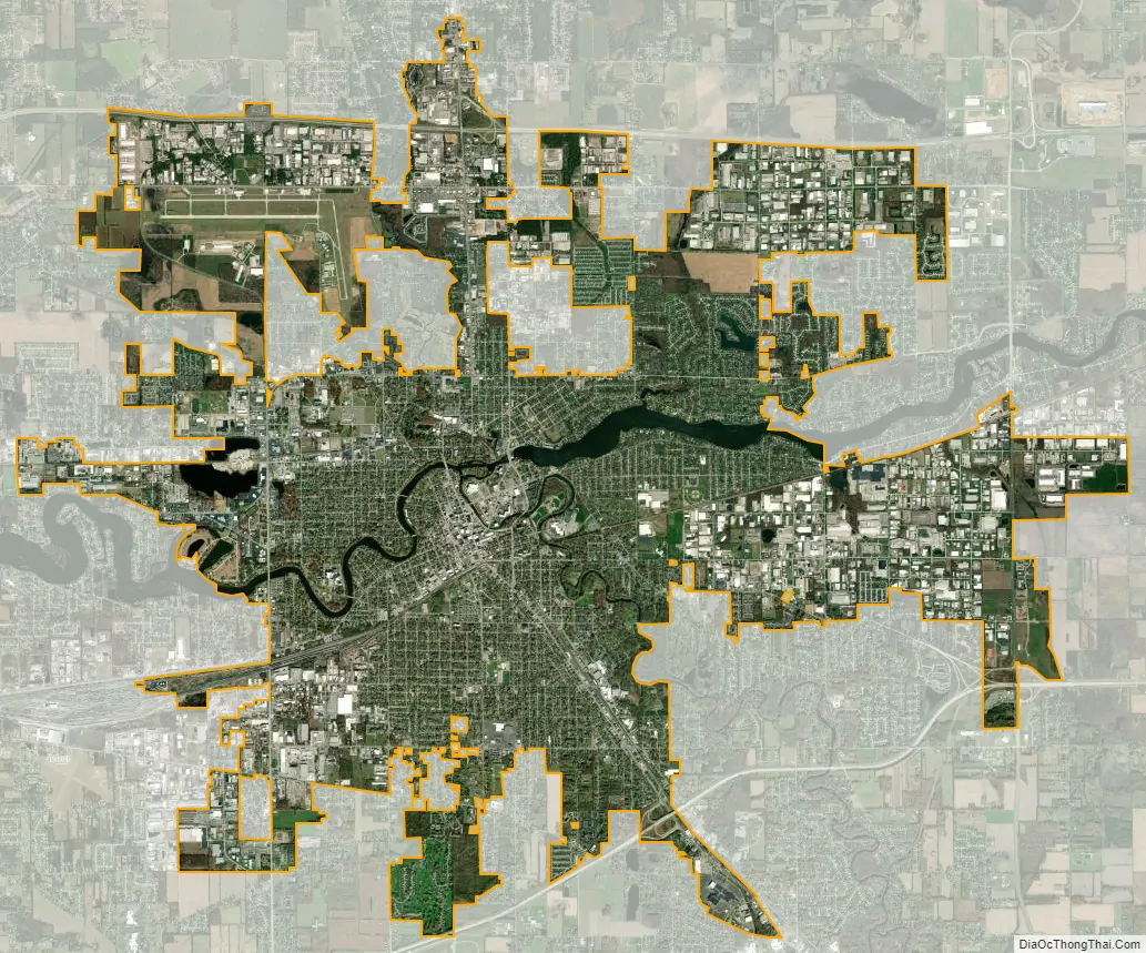
Elkhart city Satellite Map
Geography
Elkhart is located at 41°40′59″N 85°58′8″W / 41.68306°N 85.96889°W / 41.68306; -85.96889 (41.683149, -85.968798).
According to the 2010 census, Elkhart has a total area of 24.417 square miles (63.24 km), of which 23.45 square miles (60.74 km) (or 96.04%) is land and 0.967 square miles (2.50 km) (or 3.96%) is water.
The city sits on the St. Joseph and Elkhart Rivers. The Elkhart River drains into the St. Joseph at Island Park just north of downtown. There are also numerous small lakes around the city.
Climate
Elkhart has a humid continental climate (Köppen Dfa), with cold, snowy winters and warm, humid summers.
See also
Map of Indiana State and its subdivision:- Adams
- Allen
- Bartholomew
- Benton
- Blackford
- Boone
- Brown
- Carroll
- Cass
- Clark
- Clay
- Clinton
- Crawford
- Daviess
- De Kalb
- Dearborn
- Decatur
- Delaware
- Dubois
- Elkhart
- Fayette
- Floyd
- Fountain
- Franklin
- Fulton
- Gibson
- Grant
- Greene
- Hamilton
- Hancock
- Harrison
- Hendricks
- Henry
- Howard
- Huntington
- Jackson
- Jasper
- Jay
- Jefferson
- Jennings
- Johnson
- Knox
- Kosciusko
- LaGrange
- Lake
- Lake Michigan
- LaPorte
- Lawrence
- Madison
- Marion
- Marshall
- Martin
- Miami
- Monroe
- Montgomery
- Morgan
- Newton
- Noble
- Ohio
- Orange
- Owen
- Parke
- Perry
- Pike
- Porter
- Posey
- Pulaski
- Putnam
- Randolph
- Ripley
- Rush
- Saint Joseph
- Scott
- Shelby
- Spencer
- Starke
- Steuben
- Sullivan
- Switzerland
- Tippecanoe
- Tipton
- Union
- Vanderburgh
- Vermillion
- Vigo
- Wabash
- Warren
- Warrick
- Washington
- Wayne
- Wells
- White
- Whitley
- Alabama
- Alaska
- Arizona
- Arkansas
- California
- Colorado
- Connecticut
- Delaware
- District of Columbia
- Florida
- Georgia
- Hawaii
- Idaho
- Illinois
- Indiana
- Iowa
- Kansas
- Kentucky
- Louisiana
- Maine
- Maryland
- Massachusetts
- Michigan
- Minnesota
- Mississippi
- Missouri
- Montana
- Nebraska
- Nevada
- New Hampshire
- New Jersey
- New Mexico
- New York
- North Carolina
- North Dakota
- Ohio
- Oklahoma
- Oregon
- Pennsylvania
- Rhode Island
- South Carolina
- South Dakota
- Tennessee
- Texas
- Utah
- Vermont
- Virginia
- Washington
- West Virginia
- Wisconsin
- Wyoming