Canton Valley (commonly known simply as Canton) is a village and census-designated place (CDP) in the town of Canton in Hartford County, Connecticut, United States. The population was 1,580 at the 2010 census. As of the 2017 census the population was 1,489.
| Name: | Canton Valley CDP |
|---|---|
| LSAD Code: | 57 |
| LSAD Description: | CDP (suffix) |
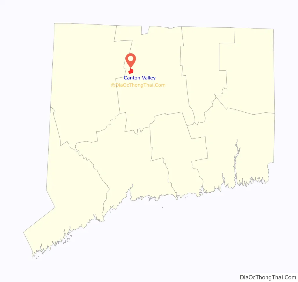
| State: | Connecticut |
| County: | Hartford County |
| Elevation: | 342 ft (104 m) |
| Total Area: | 1.8 sq mi (4.6 km²) |
| Land Area: | 1.8 sq mi (4.6 km²) |
| Water Area: | 0.0 sq mi (0.0 km²) |
| Total Population: | 1,489 |
| Population Density: | 840/sq mi (320/km²) |
| ZIP code: | 06019 |
| Area code: | 860 |
| FIPS code: | 0912370 |
| GNISfeature ID: | 2378341 |
Online Interactive Map
Click on ![]() to view map in "full screen" mode.
to view map in "full screen" mode.
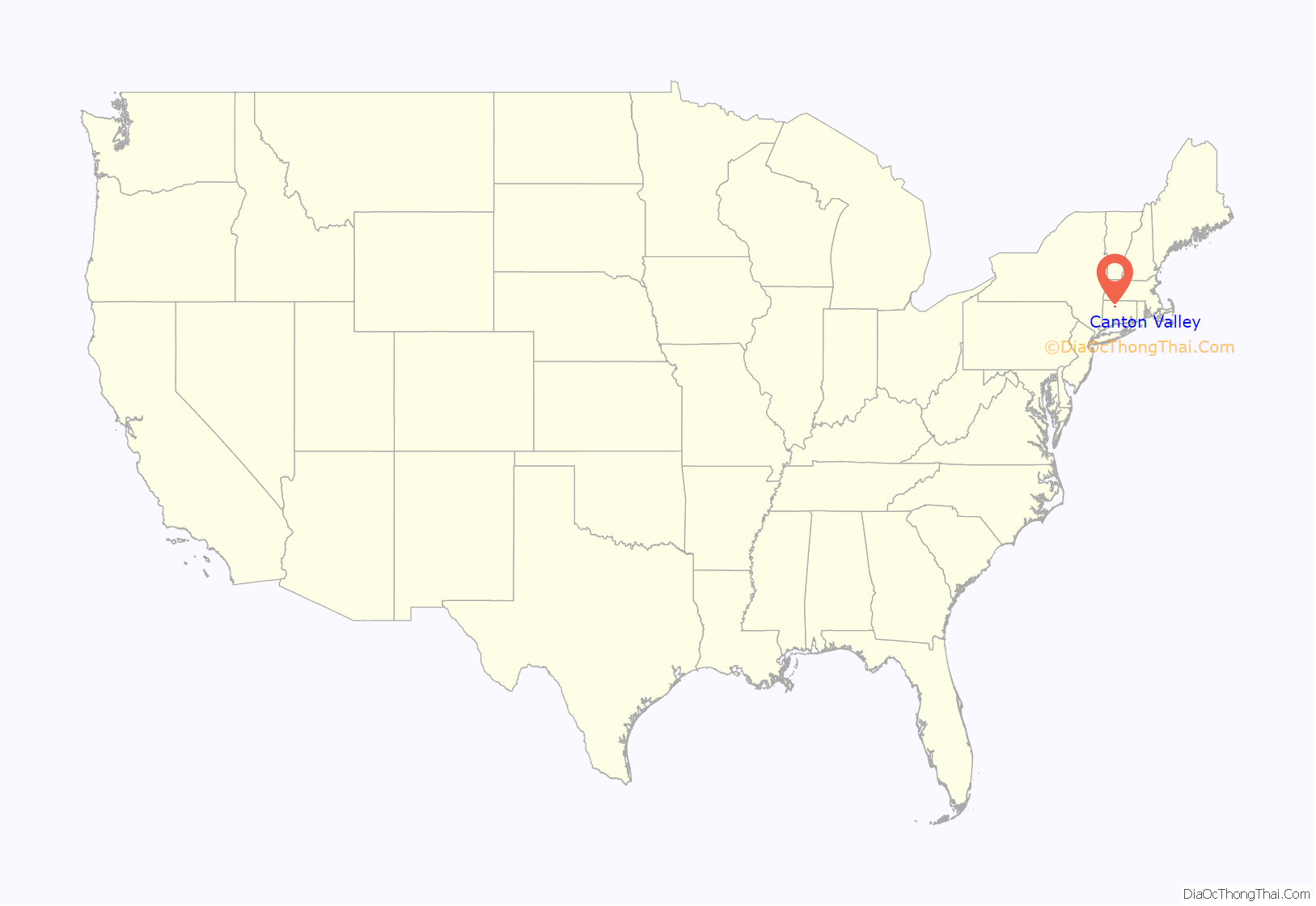
Canton Valley location map. Where is Canton Valley CDP?
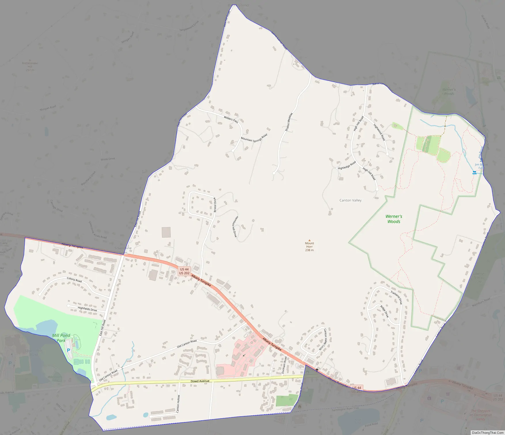
Canton Valley Road Map
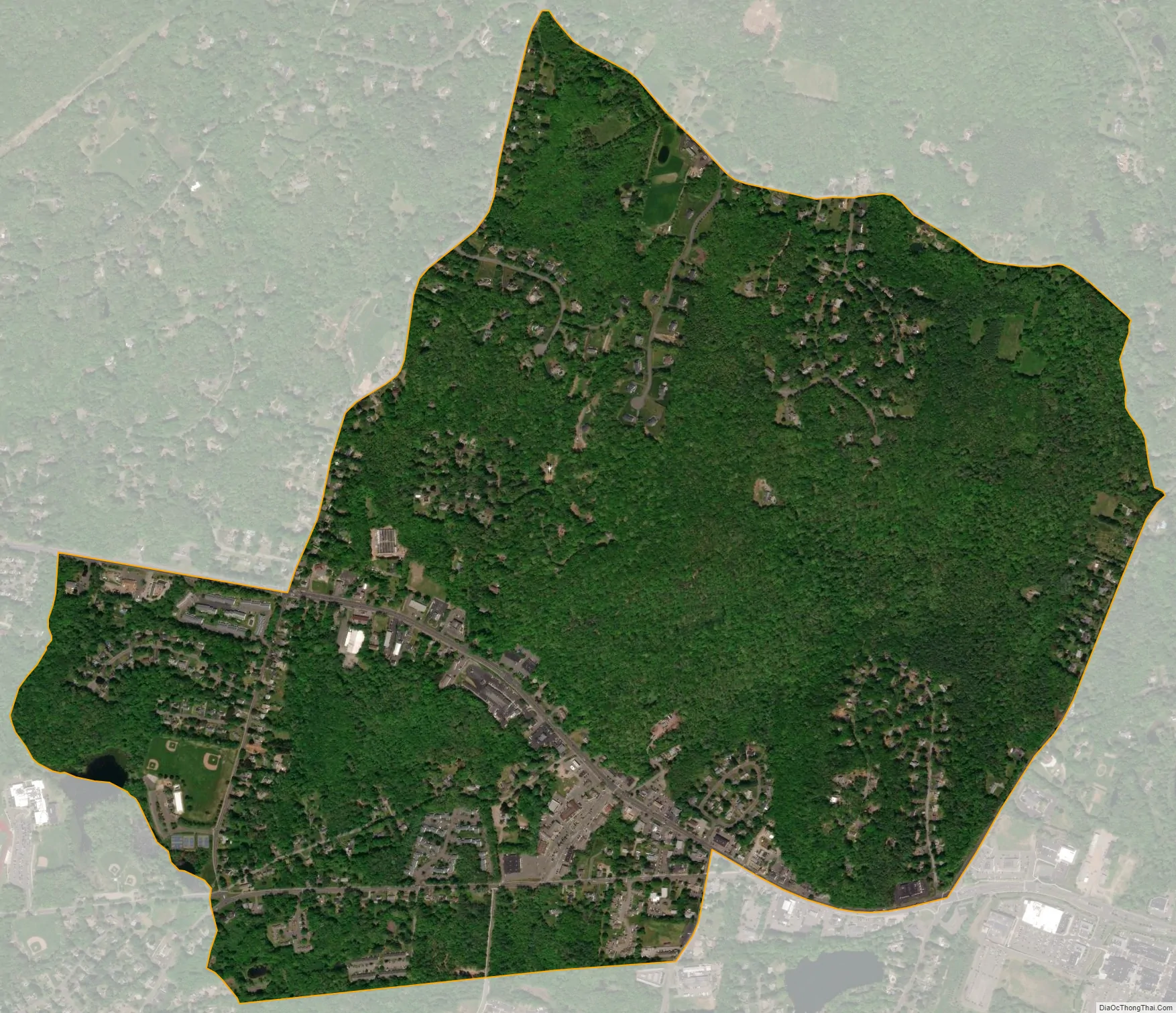
Canton Valley city Satellite Map
Geography
Canton Valley (“Canton”) is located in the southern part of the town of Canton. U.S. Route 202 and U.S. Route 44 run in a concurrency as the Albany Turnpike, the main road through the center of the village, leading east to Avon and west to Torrington (US 202) and northwest to Winsted (US 44). Connecticut Route 177 (Lovely Street) leads south from Canton Valley to Unionville. Dowd Avenue leads southwest from Canton Valley to Collinsville, the largest community in the town of Canton.
According to the United States Census Bureau, the Canton Valley CDP has a total area of 1.8 square miles (4.6 km), all of it land.
See also
Map of Connecticut State and its subdivision: Map of other states:- Alabama
- Alaska
- Arizona
- Arkansas
- California
- Colorado
- Connecticut
- Delaware
- District of Columbia
- Florida
- Georgia
- Hawaii
- Idaho
- Illinois
- Indiana
- Iowa
- Kansas
- Kentucky
- Louisiana
- Maine
- Maryland
- Massachusetts
- Michigan
- Minnesota
- Mississippi
- Missouri
- Montana
- Nebraska
- Nevada
- New Hampshire
- New Jersey
- New Mexico
- New York
- North Carolina
- North Dakota
- Ohio
- Oklahoma
- Oregon
- Pennsylvania
- Rhode Island
- South Carolina
- South Dakota
- Tennessee
- Texas
- Utah
- Vermont
- Virginia
- Washington
- West Virginia
- Wisconsin
- Wyoming


