Winsted is a census-designated place and an incorporated city in Litchfield County, Connecticut, United States. It is part of the town of Winchester. The population of Winsted was 7,712 at the 2010 census, out of 11,242 in the entire town of Winchester. Winsted is part of the Northwest Hills Planning Region.
| Name: | Winsted CDP |
|---|---|
| LSAD Code: | 57 |
| LSAD Description: | CDP (suffix) |
| State: | Connecticut |
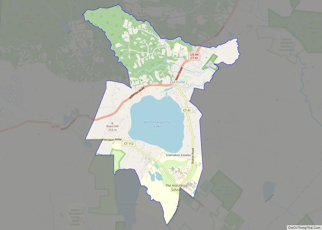
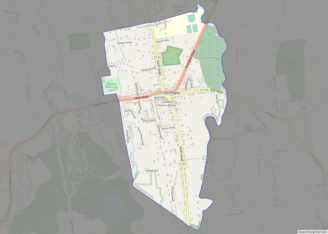
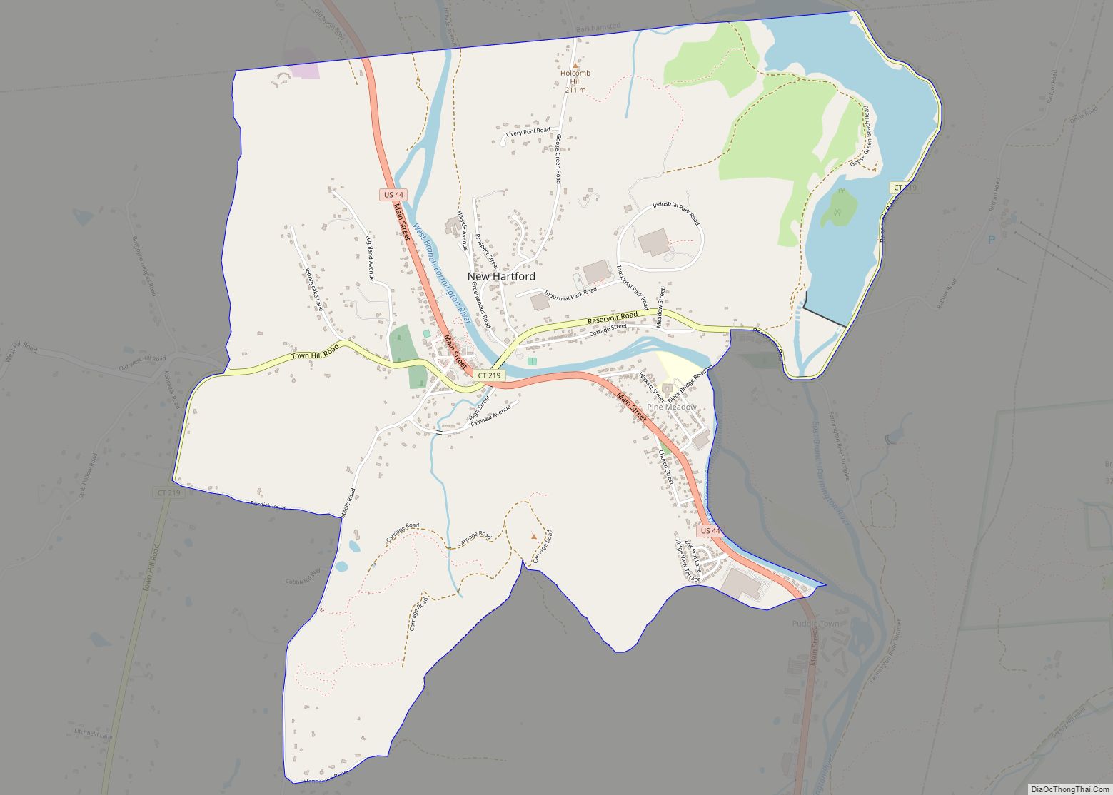
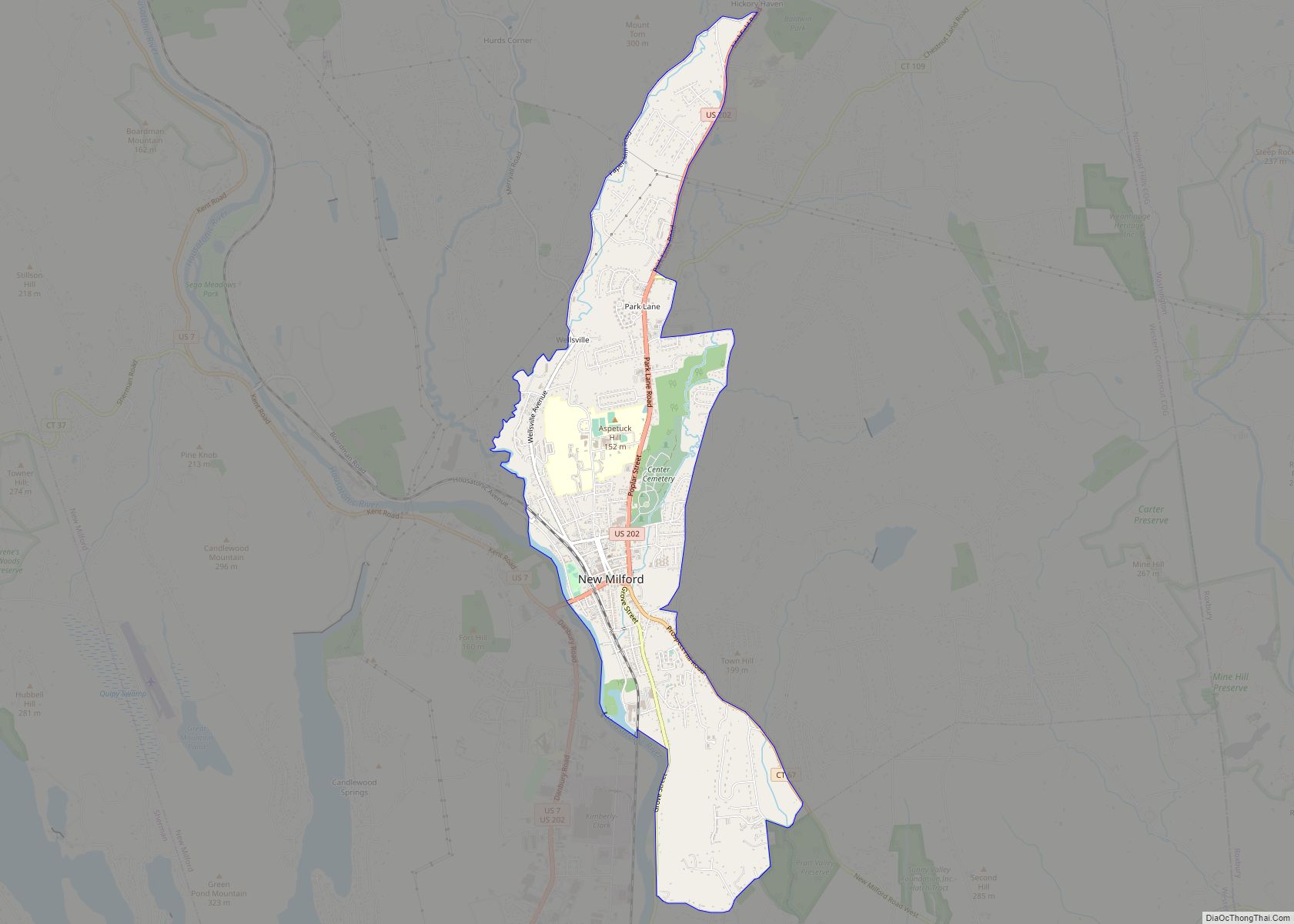
| County: | Litchfield County |
| Incorporated: | 1858 (borough) 1917 (city) |
| Elevation: | 713 ft (217 m) |
| Total Area: | 4.8 sq mi (12.4 km²) |
| Land Area: | 4.6 sq mi (12.0 km²) |
| Water Area: | 0.2 sq mi (0.5 km²) |
| Total Population: | 7,712 |
| Population Density: | 1,668/sq mi (644.2/km²) |
| ZIP code: | 06363, 06098 |
| Area code: | 860/959 |
| FIPS code: | 0987350 |
| GNISfeature ID: | 0212198 |
| Website: | www.townofwinchester.org |
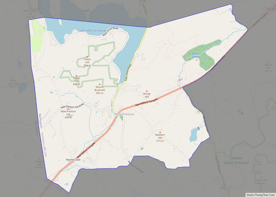
Online Interactive Map
Click on ![]() to view map in "full screen" mode.
to view map in "full screen" mode.
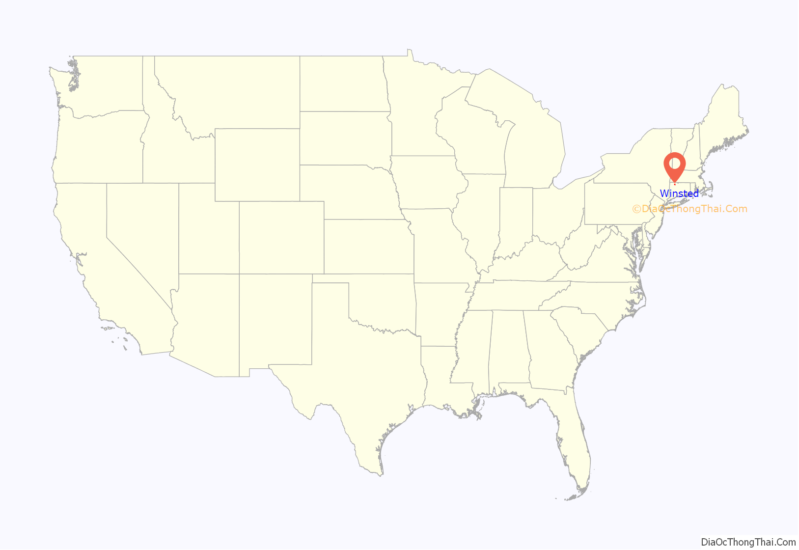
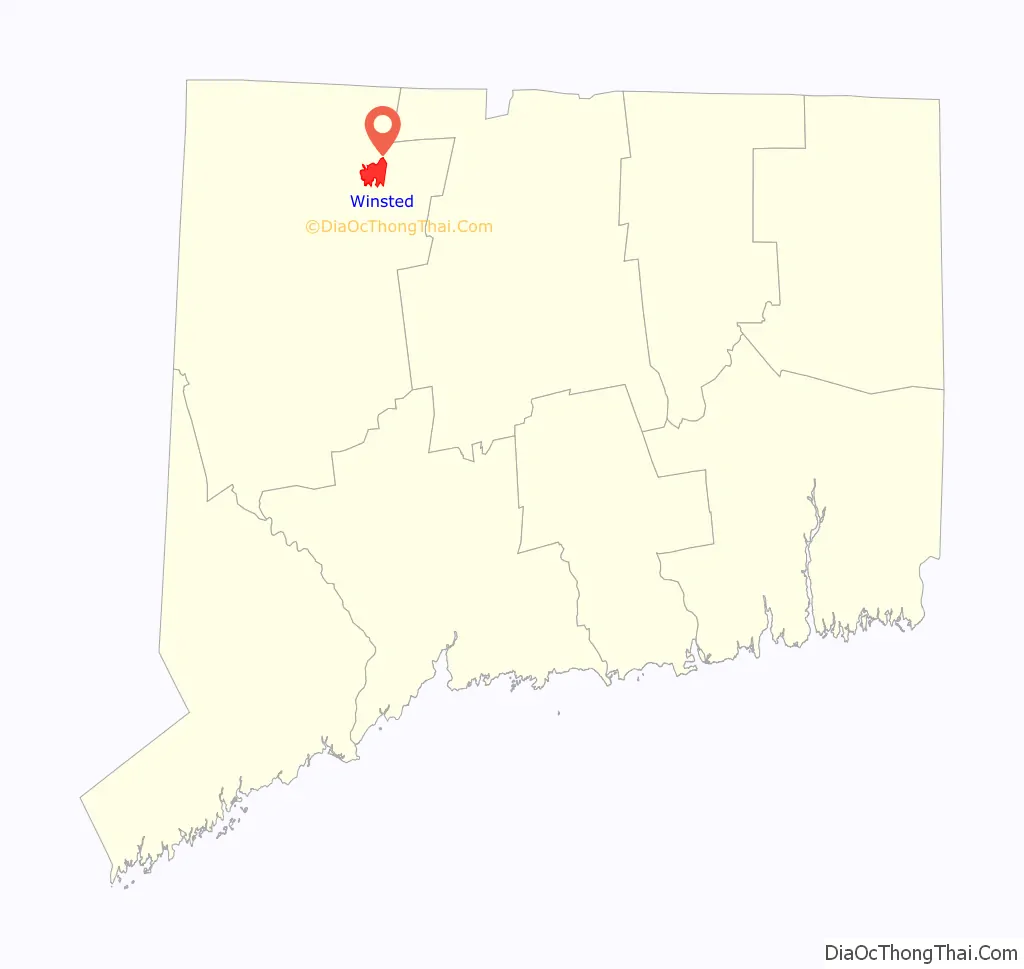
Winsted location map. Where is Winsted CDP?
History
Settled in 1750, the city of Winsted was formed at the junction of the Mad River and Still River and was one of the first mill towns in Connecticut. Manufactured products started with scythes at the Winsted Manufacturing Company in 1792. The city is within the town of Winchester, and its name derives from the fact that it is the business center for the towns of Winchester and Barkhamsted.
Winsted, along with New Haven, Connecticut, was a center for the production of mechanical clocks in the 1900s. The Gilbert Clock Company, located along the Still River north of town, was founded in 1871 by William L. Gilbert (1806–1890) and became one of the largest clock companies in the world around the start of the 20th century.
The Winsted post office contains an oil on canvas mural, Lincoln’s Arbiter Settles the Winsted Post Office Controversy, painted by muralist Amy Jones in 1938. Federally commissioned murals were produced from 1934 to 1943 in the United States through the Section of Painting and Sculpture, later called the Section of Fine Arts, of the Treasury Department.
The Gilbert School, originally endowed with more than $600,000 by William L. Gilbert, is a private secondary school that serves as the public high school for the town of Winchester.
In 1955, Hurricane Connie and Hurricane Diane passed over Connecticut within one week, flooding the Mad River and Still River through downtown. The Mad River, which parallels Main Street, caused flooding up to 10 feet (3.0 m) deep through the center of town. This damaged the buildings between Main Street and the river such that all buildings on that side of Main Street through the center of town were subsequently removed and Main Street widened to four lanes. The buildings on the north side of Main Street for the most part survived and were repaired. Further downstream, the Still River flowed between the buildings of the Gilbert Clock Company. The flooding caused extensive damage to their buildings, and this was the final blow to a company which was already in poor financial condition.
Northwestern Connecticut Community College was founded in 1965 by Winsted residents, including Ralph Nader’s older brother, Shafeek. It occupies the original Gilbert School building. NCCC was one of the first four community colleges in Connecticut, and is accredited by both the Connecticut Board of Governors for Higher Education and by the New England Association of Schools and Colleges. The Northwestern Community College Foundation was incorporated in 1981 to support the mission of Northwestern Connecticut Community College. NCCF generates private funds for the purpose of benefiting the students attending NCCC and the community of Winsted.
In 2013, Henry Centrella, the former city finance director, was served a complaint which stated that over $2.2 million was misappropriated during his 30-year tenure.
Ralph Nader opened the American Museum of Tort Law in 2015, inside the former Winsted Savings Bank building at 654 Main Street.
Winsted Road Map

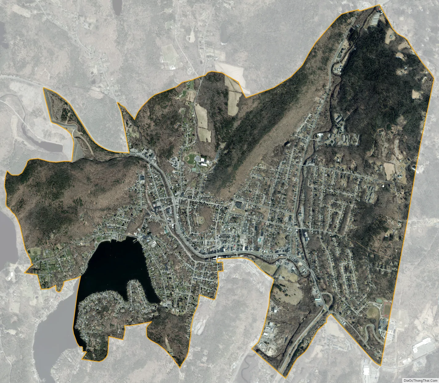
Winsted city Satellite Map
Geography
According to the United States Census Bureau, the CDP has a total area of 4.8 square miles (12.4 km), of which 4.6 square miles (12.0 km) are land and 0.19 square miles (0.5 km), or 3.73%, are water.
Winsted sits in the eastern part of the town of Winchester at the confluence of the Still River and Mad River. This Mad River is one of seven rivers with the same name in New England, one other of which is also in Connecticut. The Still River continues north as a tributary of the Farmington River and is part of the Connecticut River watershed.
The city is laid out in a horseshoe-shaped valley ringed by seven hills; two other hills stand amid this, making a total of nine named hills.
There are five stone churches in a crescent from east to west. In their exact center is the Castle Tower Civil War monument, a stone tower of over 40 feet erected in 1890.
The city is crossed by U.S. Route 44, Connecticut Route 8, Connecticut Route 183 and Connecticut Route 263. US 44 leads southeast 25 miles (40 km) to Hartford, the state capital, and northwest 17 miles (27 km) to North Canaan. Route 8 leads south 9 miles (14 km) to Torrington and 28 miles (45 km) to Waterbury, and north 26 miles (42 km) to U.S. Route 20 in West Becket, Massachusetts.
See also
Map of Connecticut State and its subdivision: Map of other states:- Alabama
- Alaska
- Arizona
- Arkansas
- California
- Colorado
- Connecticut
- Delaware
- District of Columbia
- Florida
- Georgia
- Hawaii
- Idaho
- Illinois
- Indiana
- Iowa
- Kansas
- Kentucky
- Louisiana
- Maine
- Maryland
- Massachusetts
- Michigan
- Minnesota
- Mississippi
- Missouri
- Montana
- Nebraska
- Nevada
- New Hampshire
- New Jersey
- New Mexico
- New York
- North Carolina
- North Dakota
- Ohio
- Oklahoma
- Oregon
- Pennsylvania
- Rhode Island
- South Carolina
- South Dakota
- Tennessee
- Texas
- Utah
- Vermont
- Virginia
- Washington
- West Virginia
- Wisconsin
- Wyoming