Kensington is a census-designated place (CDP) and section of the town of Berlin in Hartford County, Connecticut, United States. The Berlin town offices are located in Kensington. The population was 8,459 at the 2010 census.
The Henry Hooker House is a historic home in Kensington.
| Name: | Kensington CDP |
|---|---|
| LSAD Code: | 57 |
| LSAD Description: | CDP (suffix) |
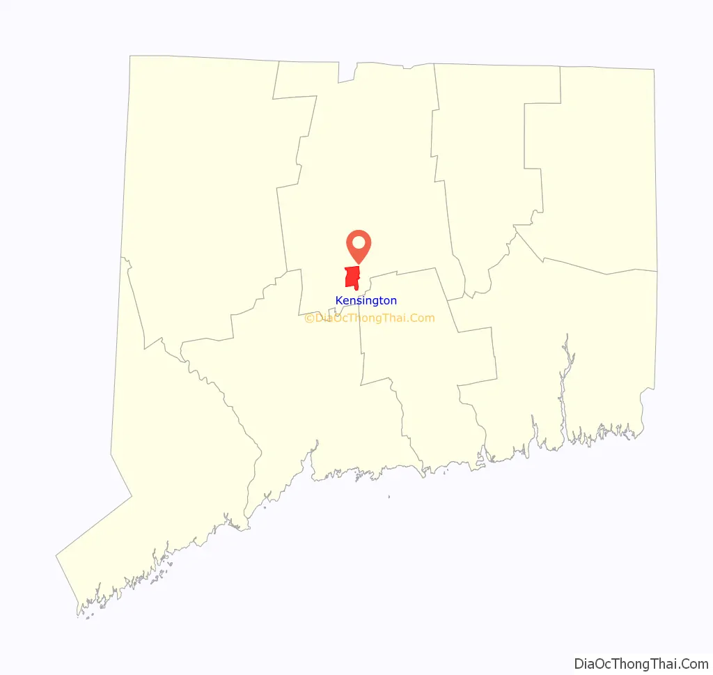
| State: | Connecticut |
| County: | Hartford County |
| Elevation: | 84 ft (26 m) |
| Total Area: | 5.4 sq mi (14.0 km²) |
| Land Area: | 5.3 sq mi (13.6 km²) |
| Water Area: | 0.2 sq mi (0.4 km²) |
| Total Population: | 8,459 |
| Population Density: | 1,616/sq mi (624.1/km²) |
| ZIP code: | 06037 |
| Area code: | 860 |
| FIPS code: | 0940150 |
| GNISfeature ID: | 2377827 |
Online Interactive Map
Click on ![]() to view map in "full screen" mode.
to view map in "full screen" mode.
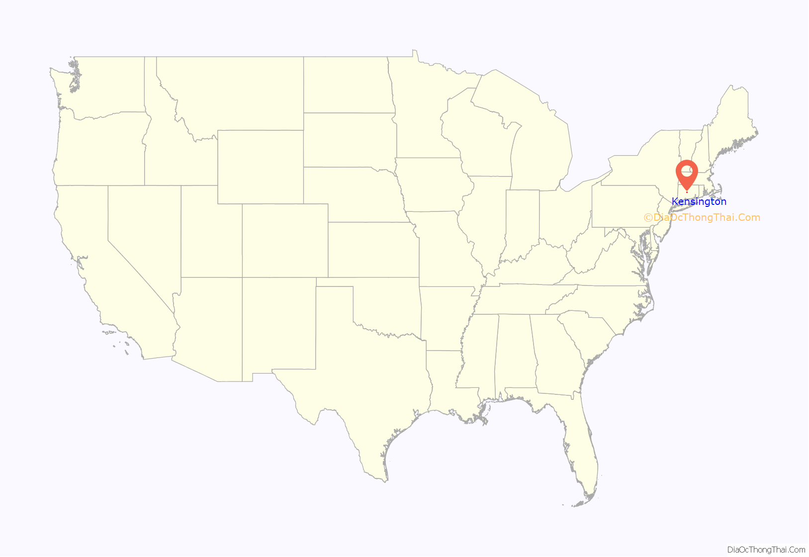
Kensington location map. Where is Kensington CDP?
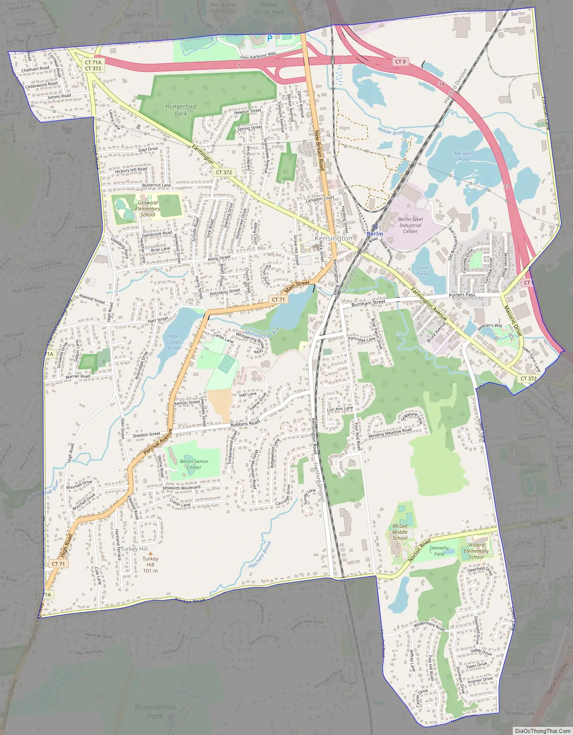
Kensington Road Map
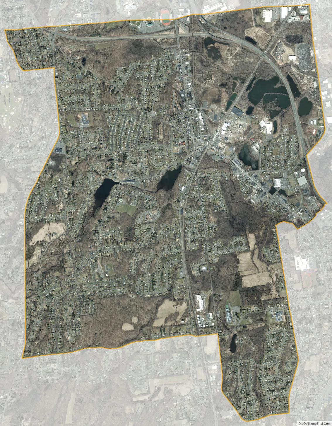
Kensington city Satellite Map
Geography
Kensington occupies the north-central part of the town of Berlin, centered on the intersection of Connecticut Route 71 (New Britain Road/Main Street) and Connecticut Route 372 (Farmington Avenue). Route 9 and Route 571 bypass Kensington to the north and east.
According to the United States Census Bureau, the CDP has a total area of 5.4 square miles (14.0 km), of which 5.3 square miles (13.6 km) is land and 0.15 square miles (0.4 km), or 2.98%, is water.
See also
Map of Connecticut State and its subdivision: Map of other states:- Alabama
- Alaska
- Arizona
- Arkansas
- California
- Colorado
- Connecticut
- Delaware
- District of Columbia
- Florida
- Georgia
- Hawaii
- Idaho
- Illinois
- Indiana
- Iowa
- Kansas
- Kentucky
- Louisiana
- Maine
- Maryland
- Massachusetts
- Michigan
- Minnesota
- Mississippi
- Missouri
- Montana
- Nebraska
- Nevada
- New Hampshire
- New Jersey
- New Mexico
- New York
- North Carolina
- North Dakota
- Ohio
- Oklahoma
- Oregon
- Pennsylvania
- Rhode Island
- South Carolina
- South Dakota
- Tennessee
- Texas
- Utah
- Vermont
- Virginia
- Washington
- West Virginia
- Wisconsin
- Wyoming


