New Britain is a city in Hartford County, Connecticut, United States. It is located approximately 9 miles (14 km) southwest of Hartford. The city is part of the Capitol Planning Region. According to 2020 Census, the population of the city is 74,135.
Among the southernmost of the communities encompassed within the Hartford-Springfield Knowledge Corridor metropolitan region, New Britain is home to Central Connecticut State University and Charter Oak State College. The city was noted for its industry during the 19th and early 20th centuries, and notable sites listed on the National Register of Historic Places include Walnut Hill Park developed by the landscape architect Frederick Law Olmsted and Downtown New Britain.
The city’s official nickname is the “Hardware City” because of its history as a manufacturing center and as the headquarters of Stanley Black & Decker. Because of its large Polish population, the city is often playfully referred to as “New Britski.”
| Name: | New Britain city |
|---|---|
| LSAD Code: | 25 |
| LSAD Description: | city (suffix) |
| State: | Connecticut |
| County: | Hartford County |
| Elevation: | 207 ft (63 m) |
| Total Area: | 13.43 sq mi (34.78 km²) |
| Land Area: | 13.36 sq mi (34.59 km²) |
| Water Area: | 0.07 sq mi (0.19 km²) |
| Total Population: | 74,135 |
| Population Density: | 5,551/sq mi (2,143.2/km²) |
| Area code: | 860/959 |
| FIPS code: | 0950370 |
| GNISfeature ID: | 02378284 |
| Website: | www.newbritainct.gov |
Online Interactive Map
Click on ![]() to view map in "full screen" mode.
to view map in "full screen" mode.
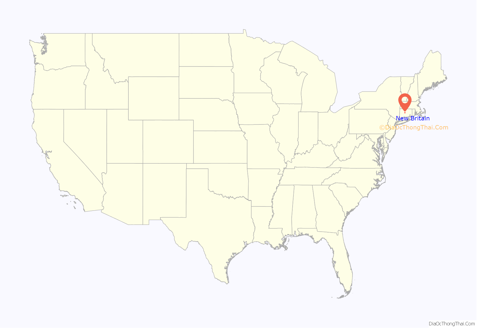
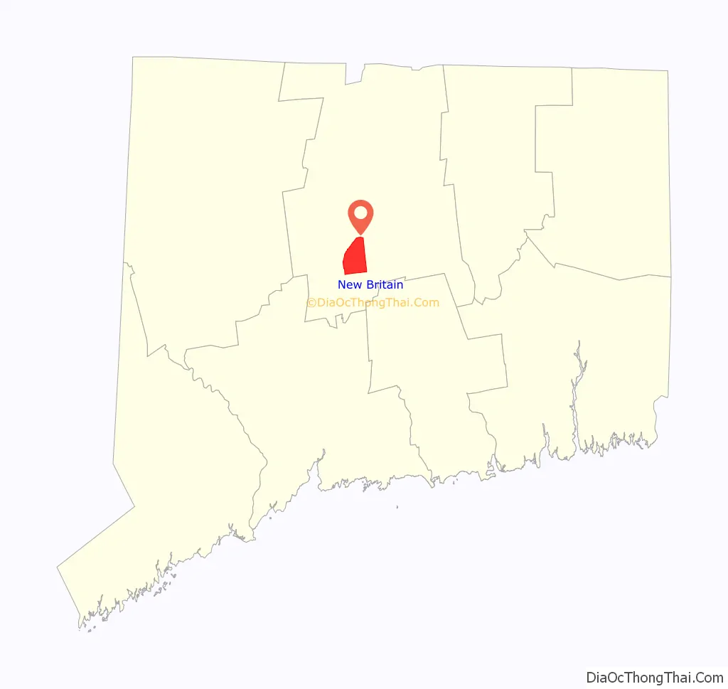
New Britain location map. Where is New Britain city?
History
New Britain was settled in 1687 and then was incorporated as a new parish under the name New Britain Society in 1754. The name is a transfer from Great Britain. Chartered in 1850 as a township and in 1871 as a city, New Britain had separated from the nearby towns of Farmington and Berlin, Connecticut. A consolidation charter was adopted in 1905.
During the early part of the 20th century, New Britain was known as the “Hardware Capital of the World”, as well as “Hardware City”. Major manufacturers, such as The Stanley Works, the P&F Corbin Company (later Corbin Locks), Landers, Frary & Clark (LF&C) and North & Judd, were headquartered in the city.
In 1843 Frederick Trent Stanley established Stanley’s Bolt Manufactory in New Britain to make door bolts and other wrought-iron hardware. In 1857 his cousin Henry Stanley founded The Stanley Rule and Level Company in the city. Planes invented by Leonard Bailey and manufactured by the Stanley Rule and Level Company, known as “Stanley/Bailey” planes, were prized by woodworkers of the late 19th and early 20th centuries and remain popular among wood craftsmen today. The two companies merged in 1920, and the Stanley Rule and Level Company became the Hand Tools Division of Stanley Works.
The wire coat hanger was invented in 1869 by O. A. North of New Britain. In 1895, the basketball technique of dribbling was developed at the New Britain YMCA. In 1938, New Britain High School competed in the high school football national championship game in Baton Rouge, Louisiana. 1954 saw the development of racquetball, also at the YMCA.
The heads of the fire and police departments and seven other municipal employees were arrested as part of a corruption scandal in the 1970s.
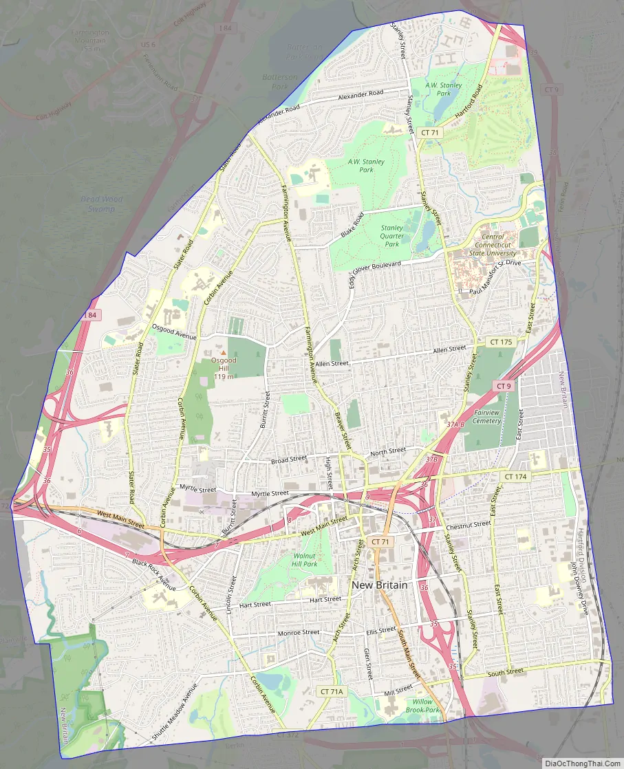
New Britain Road Map
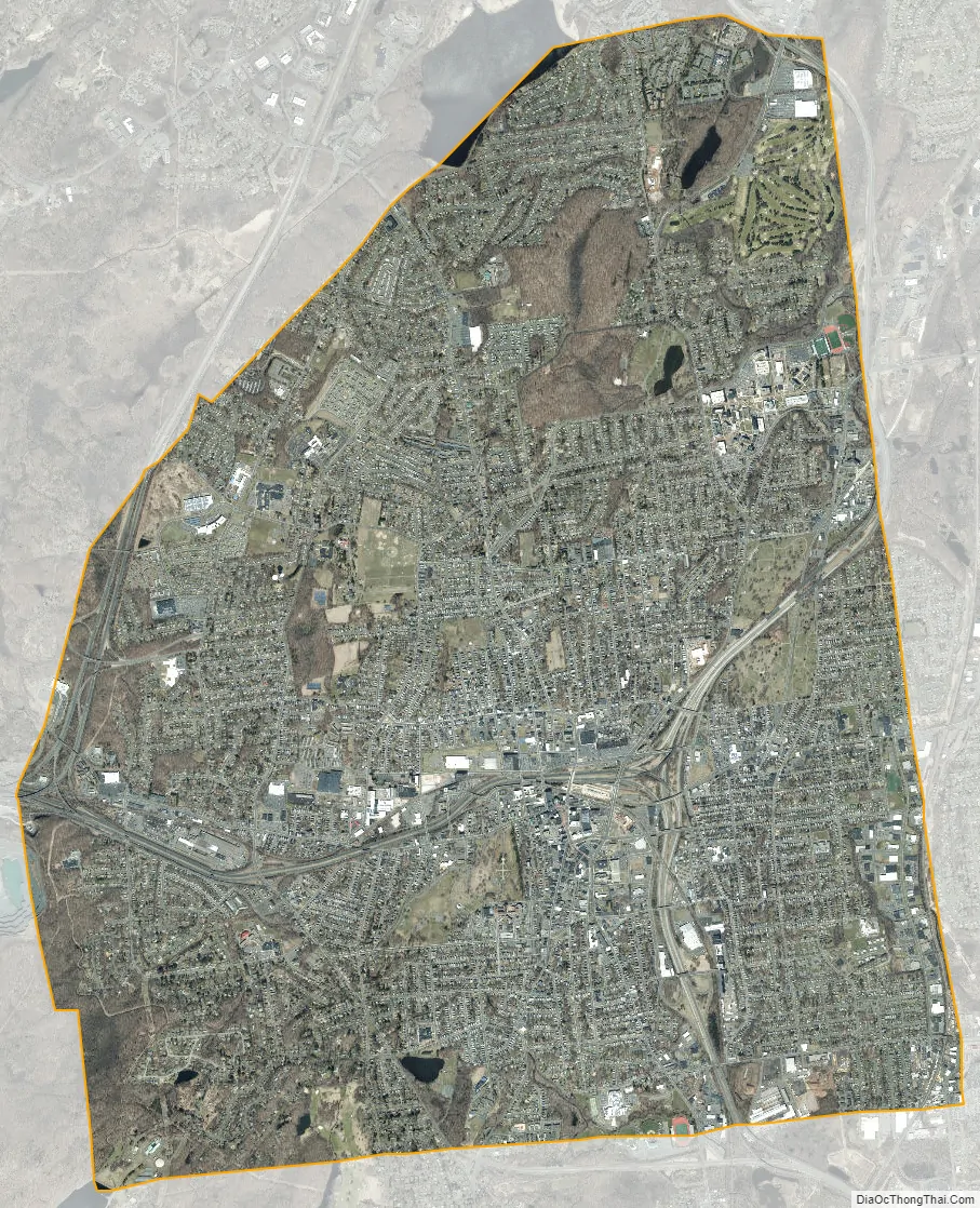
New Britain city Satellite Map
Geography
According to the United States Census Bureau, the city has a total area of 13.4 square miles (34.7 km), of which, 13.3 square miles (34.6 km) of it is land and 0.1 square miles (0.2 km) of it (0.52%) is water.
New Britain’s terrain is mostly made up of soft, rolling hills and young Connecticut forest. The many parks are populated with trees, and in small, undeveloped areas, there is also brushy woods. New Britain’s streets also have many trees lining the sides of the roads. Many front yards in the northern half of the city have at least one tree. One or two streams flow through New Britain, undisturbed by the development.
See also
Map of Connecticut State and its subdivision: Map of other states:- Alabama
- Alaska
- Arizona
- Arkansas
- California
- Colorado
- Connecticut
- Delaware
- District of Columbia
- Florida
- Georgia
- Hawaii
- Idaho
- Illinois
- Indiana
- Iowa
- Kansas
- Kentucky
- Louisiana
- Maine
- Maryland
- Massachusetts
- Michigan
- Minnesota
- Mississippi
- Missouri
- Montana
- Nebraska
- Nevada
- New Hampshire
- New Jersey
- New Mexico
- New York
- North Carolina
- North Dakota
- Ohio
- Oklahoma
- Oregon
- Pennsylvania
- Rhode Island
- South Carolina
- South Dakota
- Tennessee
- Texas
- Utah
- Vermont
- Virginia
- Washington
- West Virginia
- Wisconsin
- Wyoming


